Barton End

Settlement in Gloucestershire Stroud

England

Barton End

Stone Stile, Horsley Off Narrowcut Lane, on Gloucestershire footpath MHO75 looking West. The view looking East is <a href="https://www.geograph.org.uk/photo/7067457">ST8398 : Stone Stile, Horsley</a>.
Stone Stile, Horsley Credit: Mr Red

Barton End is a small village located in the county of Gloucestershire, England. Situated in the picturesque Cotswolds region, this tranquil village is surrounded by rolling hills, lush green countryside, and charming rural landscapes.

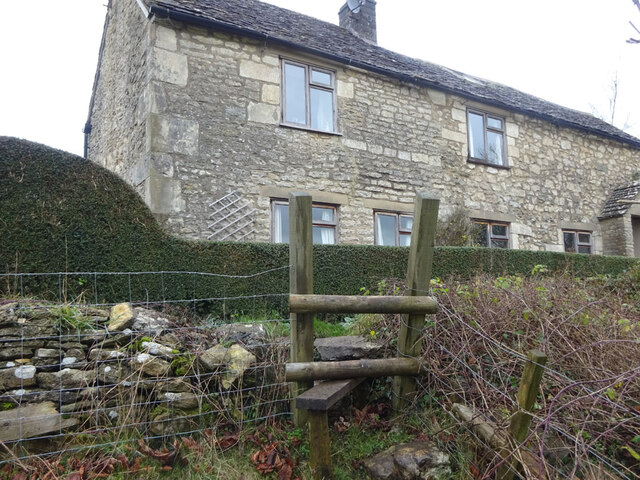
The village itself is characterized by its idyllic setting and traditional Cotswold stone houses, which add to its quintessential English charm. Barton End is a close-knit community, with a small population that values the peaceful atmosphere and strong sense of community.

One of the notable features of Barton End is its proximity to the River Severn, which runs nearby. This provides residents and visitors with opportunities for leisurely walks along the riverbanks, fishing, or simply enjoying the scenic beauty of the area.

While Barton End may be small, it is well-connected to nearby towns and cities. The village is just a short distance from the market town of Tetbury, where residents can find a range of amenities, including shops, restaurants, and schools.

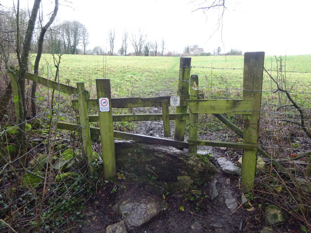
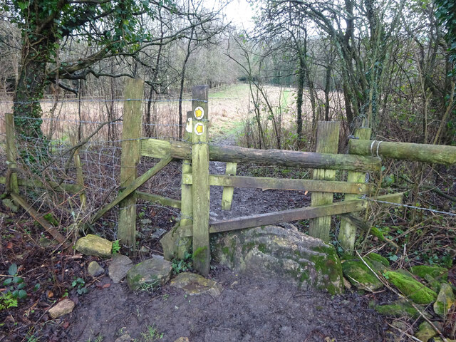
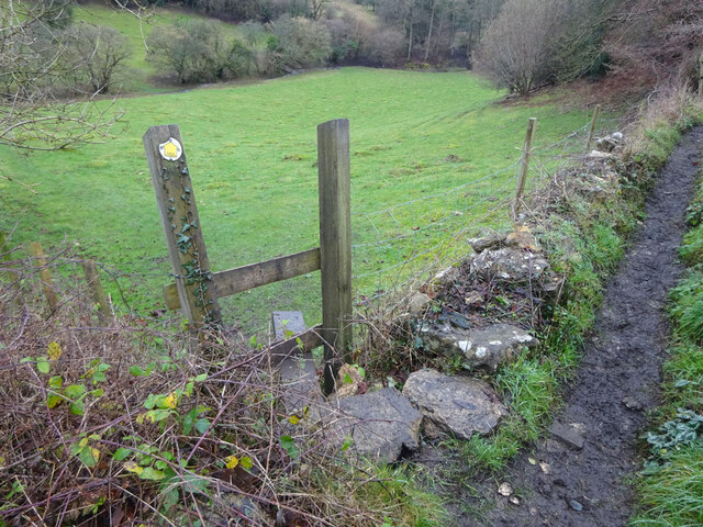
Nature enthusiasts will also appreciate Barton End's close proximity to the Cotswold Way, a popular walking trail that stretches over 100 miles through the Cotswolds. This allows residents to easily explore the stunning countryside and enjoy outdoor activities such as hiking and cycling.

Overall, Barton End offers a peaceful and picturesque setting for those seeking a quiet rural lifestyle amidst the beauty of the Cotswolds.

If you have any feedback on the listing, please let us know in the comments section below.
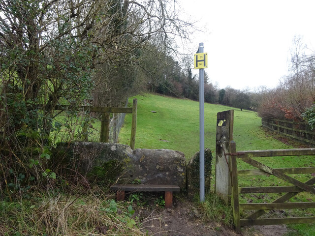
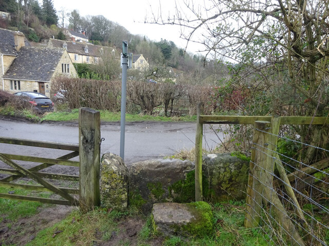
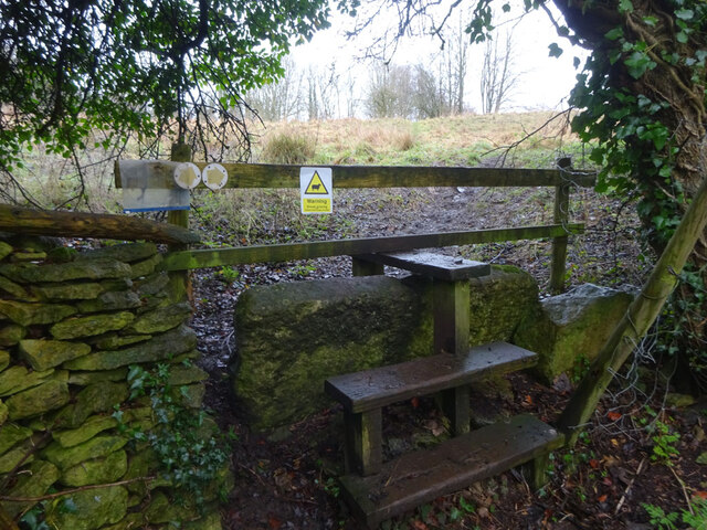
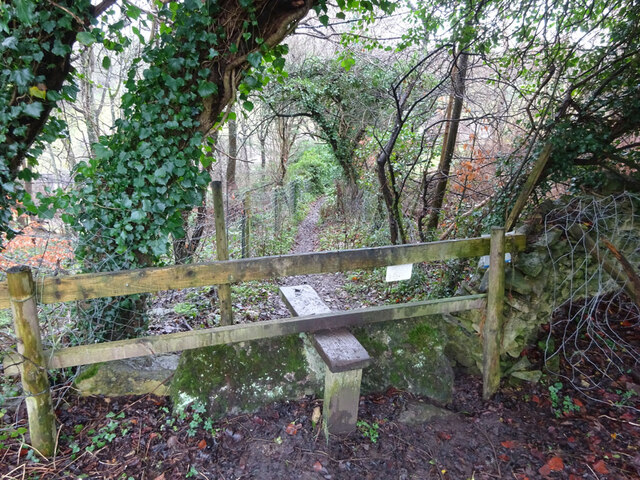
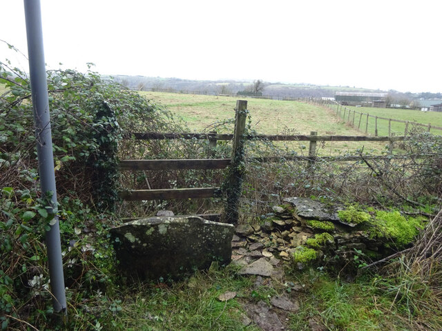
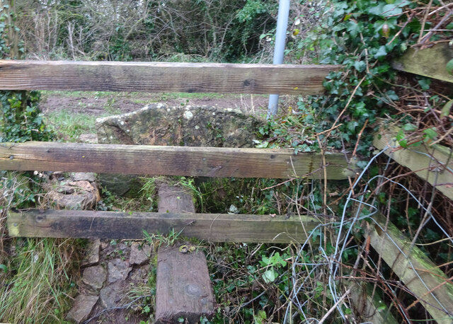
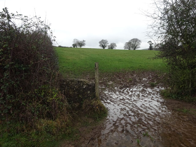
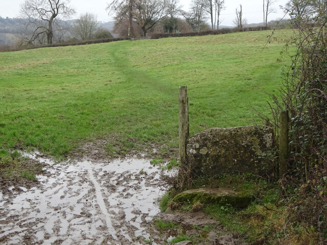
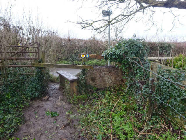
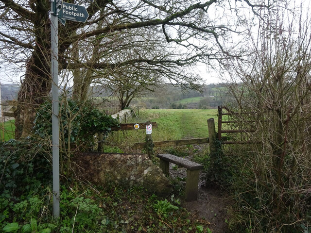
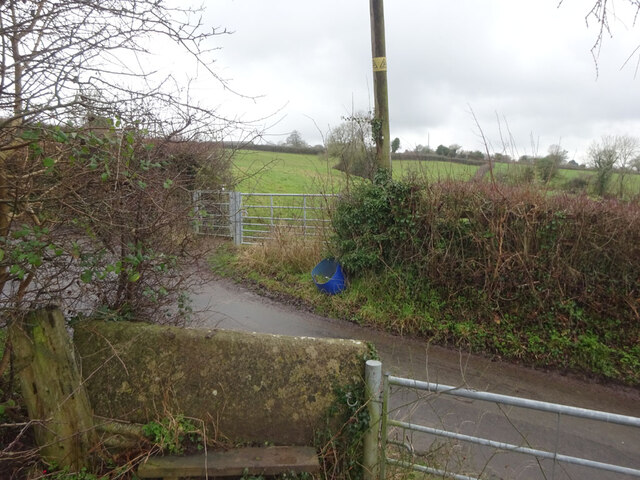
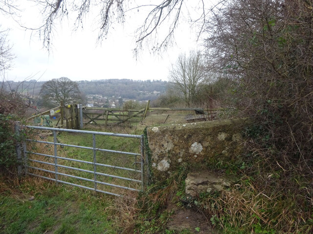
Barton End Images

Images are sourced within 2km of 51.679515/-2.22415 or Grid Reference ST8497. Thanks to Geograph Open Source API. All images are credited.

Stone Stile, Horsley Off Narrowcut Lane, on Gloucestershire footpath MHO75 looking West. The view looking East is <a href="https://www.geograph.org.uk/photo/7067457">ST8398 : Stone Stile, Horsley</a>.
Stone Stile, Horsley
Off Narrowcut Lane, on Gloucestershire footpath MHO75 looking West. The view looking East is ST8398 : Stone Stile, Horsley.
Stone Stile, Horsley Off Narrowcut Lane, on Gloucestershire footpath MHO75 looking East. The view looking West is <a href="https://www.geograph.org.uk/photo/7067455">ST8398 : Stone Stile, Horsley</a>.
Stone Stile, Horsley
Off Narrowcut Lane, on Gloucestershire footpath MHO75 looking East. The view looking West is ST8398 : Stone Stile, Horsley.
Stone Stile, Horsley At the junction of Gloucestershire footpaths MHO19 & MHO18, looking into the field. The view looking SW along MHO18 is <a href="https://www.geograph.org.uk/photo/7067498">ST8398 : Stone Stile, Horsley</a>.
Stone Stile, Horsley
At the junction of Gloucestershire footpaths MHO19 & MHO18, looking into the field. The view looking SW along MHO18 is ST8398 : Stone Stile, Horsley.
Stone Stile, Horsley At the junction of Gloucestershire footpaths MHO19 & MHO18, looking SW along MHO18. The view looking NE into the field is <a href="https://www.geograph.org.uk/photo/7067495">ST8398 : Stone Stile, Horsley</a>.
Stone Stile, Horsley
At the junction of Gloucestershire footpaths MHO19 & MHO18, looking SW along MHO18. The view looking NE into the field is ST8398 : Stone Stile, Horsley.
Stone Stile, Horsley Looking North into the top (rented by Ben) field on Gloucestershire footpaths MHO18 & MHO17. The view looking South is <a href="https://www.geograph.org.uk/photo/7067517">ST8398 : Stone Stile, Horsley</a>.
Stone Stile, Horsley
Looking North into the top (rented by Ben) field on Gloucestershire footpaths MHO18 & MHO17. The view looking South is ST8398 : Stone Stile, Horsley.
Stone Stile, Horsley Looking South from the top field (rented by Ben) on Gloucestershire footpaths MHO18 & MHO17. The view looking North is <a href="https://www.geograph.org.uk/photo/7067514">ST8398 : Stone Stile, Horsley</a>.
Stone Stile, Horsley
Looking South from the top field (rented by Ben) on Gloucestershire footpaths MHO18 & MHO17. The view looking North is ST8398 : Stone Stile, Horsley.
Stone Stile, Horsley A "gap in the wall" stile under the wooden structure. Looking NE on  Gloucestershire footpath MHO62 to MHO70. The view looking into the field is <a href="https://www.geograph.org.uk/photo/7067535">ST8398 : Stone Stile, Horsley</a>.
Stone Stile, Horsley
A "gap in the wall" stile under the wooden structure. Looking NE on Gloucestershire footpath MHO62 to MHO70. The view looking into the field is ST8398 : Stone Stile, Horsley.
Stone Stile, Horsley A "gap in the wall" stile under the wooden structure. Looking SW to  Gloucestershire footpath MHO62 from MHO70. The view looking from the field is <a href="https://www.geograph.org.uk/photo/7067532">ST8398 : Stone Stile, Horsley</a>.
Stone Stile, Horsley
A "gap in the wall" stile under the wooden structure. Looking SW to Gloucestershire footpath MHO62 from MHO70. The view looking from the field is ST8398 : Stone Stile, Horsley.
Stone Stile, Horsley Stile to Gloucestershire footpath MHO68, off a farm track looking SE. The view looking to the track is <a href="https://www.geograph.org.uk/photo/7067615">ST8398 : Stone Stile, Horsley</a>.
Stone Stile, Horsley
Stile to Gloucestershire footpath MHO68, off a farm track looking SE. The view looking to the track is ST8398 : Stone Stile, Horsley.
Stone Stile, Horsley Stile to Gloucestershire footpath MHO68, looking NW to a farm track. The view looking from the track is <a href="https://www.geograph.org.uk/photo/7067609">ST8398 : Stone Stile, Horsley</a>.
Stone Stile, Horsley
Stile to Gloucestershire footpath MHO68, looking NW to a farm track. The view looking from the track is ST8398 : Stone Stile, Horsley.
Stone Stile, Nailsworth On Gloucestershire footpath ZNA19 looking West. The view looking East is <a href="https://www.geograph.org.uk/photo/7067668">ST8499 : Stone Stile, Nailsworth</a>. The gap is the source of a spring running downhill to the right.
Stone Stile, Nailsworth
On Gloucestershire footpath ZNA19 looking West. The view looking East is ST8499 : Stone Stile, Nailsworth. The gap is the source of a spring running downhill to the right.
Stone Stile, Nailsworth On Gloucestershire footpath ZNA19 looking East. The view looking West is <a href="https://www.geograph.org.uk/photo/7067662">ST8499 : Stone Stile, Nailsworth</a>. The gap is the source of a spring running downhill to the left.
Stone Stile, Nailsworth
On Gloucestershire footpath ZNA19 looking East. The view looking West is ST8499 : Stone Stile, Nailsworth. The gap is the source of a spring running downhill to the left.
Stone Stile, Nailsworth Looking West on Gloucestershire footpaths ZNA19 & MHO14 to the u/c road. The view from the road is <a href="https://www.geograph.org.uk/photo/7067689">ST8499 : Stone Stile, Nailsworth</a>.
Stone Stile, Nailsworth
Looking West on Gloucestershire footpaths ZNA19 & MHO14 to the u/c road. The view from the road is ST8499 : Stone Stile, Nailsworth.
Stone Stile, Nailsworth Looking East on Gloucestershire footpaths ZNA19 & MHO14 from the u/c road. The view from the field is <a href="https://www.geograph.org.uk/photo/7067687">ST8499 : Stone Stile, Nailsworth</a>.
Stone Stile, Nailsworth
Looking East on Gloucestershire footpaths ZNA19 & MHO14 from the u/c road. The view from the field is ST8499 : Stone Stile, Nailsworth.
Stone Stile, Nailsworth To the North of "Cleves" on Gloucestershire footpath ZNA20. The view from the road is <a href="https://www.geograph.org.uk/photo/7067716">ST8499 : Stone Stile, Nailsworth</a>.
Stone Stile, Nailsworth
To the North of "Cleves" on Gloucestershire footpath ZNA20. The view from the road is ST8499 : Stone Stile, Nailsworth.
Stone Stile, Nailsworth To the North of "Cleves" on Gloucestershire footpath ZNA20. The view from the field is <a href="https://www.geograph.org.uk/photo/7067714">ST8499 : Stone Stile, Nailsworth</a>.
Stone Stile, Nailsworth
To the North of "Cleves" on Gloucestershire footpath ZNA20. The view from the field is ST8499 : Stone Stile, Nailsworth.
Stone Stile, Nailsworth Private "gap in the wall" stile off Gloucestershire footpath ZNA18. There is a door to a subsequently built shed coincident with it, obviously intended as an emergency exit.
Stone Stile, Nailsworth
Private "gap in the wall" stile off Gloucestershire footpath ZNA18. There is a door to a subsequently built shed coincident with it, obviously intended as an emergency exit.
Stone Stile, Horsley A "gap in the wall" stile with a removable gate on  Gloucestershire footpath MHO15. The inscription reads "Please replace board. To prevent our dogs getting onto the road. Thank You."
The view from the road is <a href="https://www.geograph.org.uk/photo/7067751">ST8498 : Stone Stile, Horsley</a>.
Stone Stile, Horsley
A "gap in the wall" stile with a removable gate on Gloucestershire footpath MHO15. The inscription reads "Please replace board. To prevent our dogs getting onto the road. Thank You." The view from the road is ST8498 : Stone Stile, Horsley.
Show me another place!

Barton End is located at Grid Ref: ST8497 (Lat: 51.679515, Lng: -2.22415)

Administrative County: Gloucestershire

District: Stroud

Police Authority: Gloucestershire

What 3 Words

///swelling.abacus.golden. Near Nailsworth, Gloucestershire

Related Wikis

Nearby Amenities

Located within 500m of 51.679515,-2.22415
Post Box
Collection Times: Mo-Fr 09:00; Sa 07:00
Ref: GL6 283
Royal Cypher: EIIR
Royal Cypher Wikidata: Q33102113
Lat/Long: 51.6816379/-2.2305122
Bartonend
Is In: Gloucestershire, England, UK
Is In Parish: Horsley
Place: hamlet
Wikidata: Q4865620
Lat/Long: 51.6797788/-2.2198492
Bus Stop
Barton End Manor
Bench: no
Bus: yes
Naptan AtcoCode: 1600GLA06086
Naptan Bearing: N
Naptan CommonName: Barton End Manor
Naptan NaptanCode: glogpdmw
Naptan Street: A46
Naptan Verified: no
Public Transport: platform
Shelter: no
Source: naptan_import
Lat/Long: 51.6802546/-2.2216851
Bus Stop
Barton End Manor
Bench: no
Bus: yes
Naptan AtcoCode: 1600GLS755
Naptan Bearing: S
Naptan CommonName: Barton End Manor
Naptan NaptanCode: glodgapj
Naptan Street: A46
Naptan Verified: no
Public Transport: platform
Shelter: no
Source: naptan_import
Lat/Long: 51.6804436/-2.2215992
Barrier: stile
Lat/Long: 51.677279/-2.2205705
Barrier: stile
Lat/Long: 51.6757501/-2.2209409
Barrier: stile
Lat/Long: 51.6806773/-2.2272939
Post Box
Brand: Royal Mail
Brand Wikidata: Q638098
Collection Times: Mo-Fr 16:15; Sa 09:45; Su off
Drive Through: no
Operator: Royal Mail
Operator Wikidata: Q638098
Post Box Type: wall
Ref: GL6 42
Royal Cypher: GVIR
Royal Cypher Wikidata: Q33102169
Source: survey
Lat/Long: 51.6800436/-2.2216502
Fixme: line possibly incomplete - where does it go next? survey needed
Lat/Long: 51.680041/-2.2237487
Power: pole
Lat/Long: 51.6796866/-2.2233605
Fixme: line possibly incomplete - where does it go next? survey needed
Lat/Long: 51.679415/-2.222287
Power: pole
Transformer: distribution
Lat/Long: 51.6794823/-2.2231159
Power: pole
Lat/Long: 51.6790494/-2.2254836
Power: pole
Lat/Long: 51.6787845/-2.227124
Power: pole
Lat/Long: 51.6787628/-2.2272419
Power: pole
Lat/Long: 51.6786715/-2.2278256
Power: pole
Lat/Long: 51.6783109/-2.230069
Power: pole
Lat/Long: 51.6833001/-2.225782
Power: pole
Lat/Long: 51.6802372/-2.2272875
Power: pole
Lat/Long: 51.6811236/-2.2269707
Power: pole
Lat/Long: 51.681906/-2.2267117
Power: pole
Lat/Long: 51.6826215/-2.2264692
Barrier: stile
Material: wood
Stile: stepover
Lat/Long: 51.6792064/-2.2210979
The data included in this document is from www.openstreetmap.org. The data is made available under ODbL.

Have you been to Barton End?

Leave your review of Barton End below (or comments, questions and feedback).