Barton Gate
Settlement in Staffordshire East Staffordshire
England
Barton Gate
Barton Gate is a small village located in the county of Staffordshire, England. Situated approximately five miles northwest of the town of Burton upon Trent, Barton Gate is a relatively rural area with a population of around 500 residents.
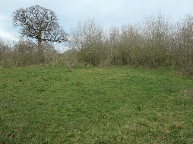
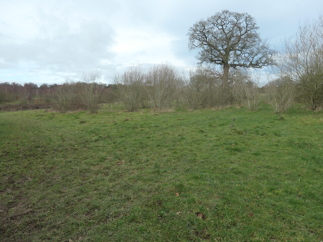
The village is characterized by its charming countryside scenery, with rolling hills and fields surrounding the area. It is predominantly an agricultural community, with farming being the main occupation for many of its inhabitants. The local economy is also supported by a handful of small businesses, including a village shop and a traditional pub.
Barton Gate is well-connected to nearby towns and cities, with easy access to the A38 road, providing links to Burton upon Trent and beyond. The village is also served by a regular bus service, ensuring residents have convenient transportation options.
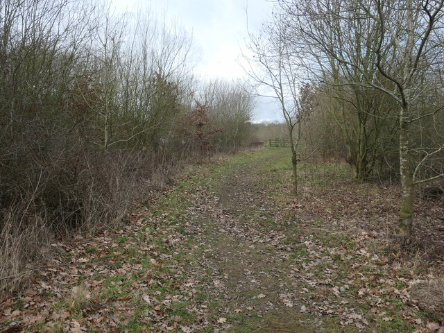
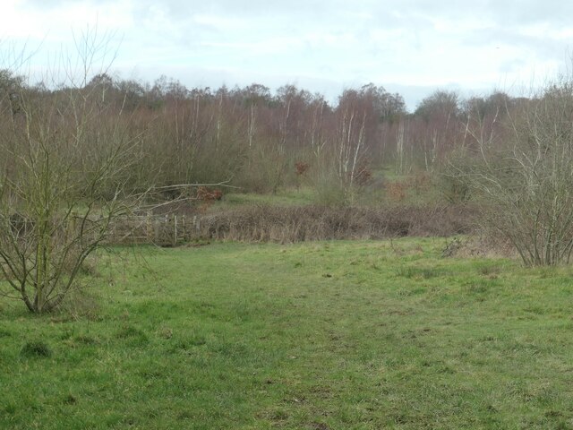
In terms of amenities, Barton Gate boasts a primary school, which provides education for children in the local area. Additionally, there are several picturesque walking trails and nature reserves nearby, offering opportunities for outdoor activities and exploration.
The village has a strong sense of community spirit, with various events and activities organized throughout the year. These include a summer fair, community gatherings, and local sports teams. The residents take pride in preserving the village's heritage and maintaining its peaceful and welcoming atmosphere.
Overall, Barton Gate is a tranquil and close-knit village, providing a peaceful countryside lifestyle while still being within reach of larger towns and cities in Staffordshire.
If you have any feedback on the listing, please let us know in the comments section below.
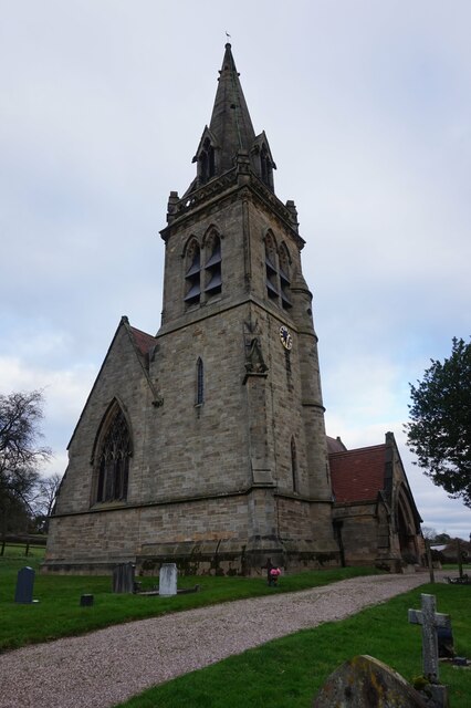
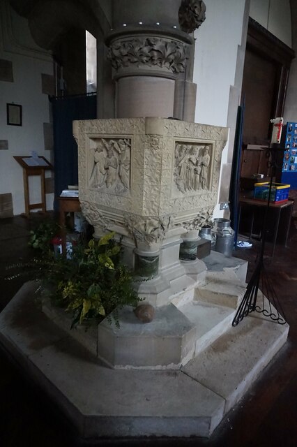
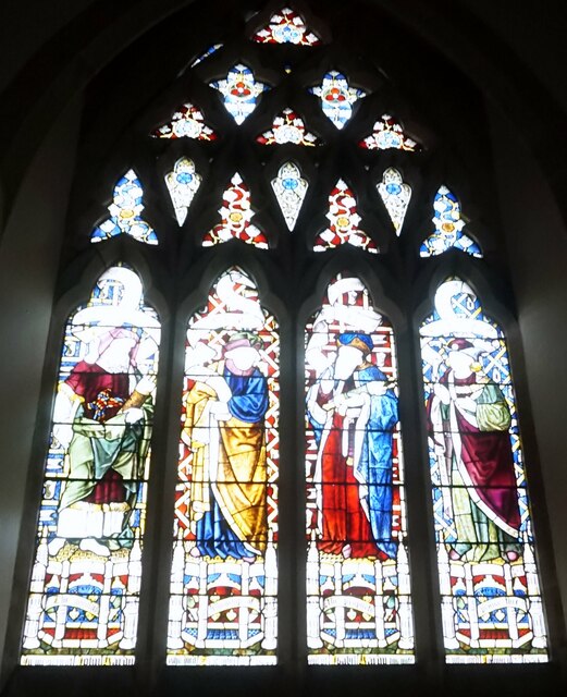
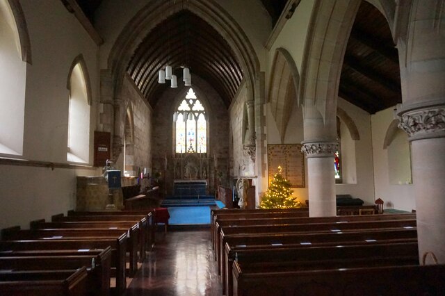
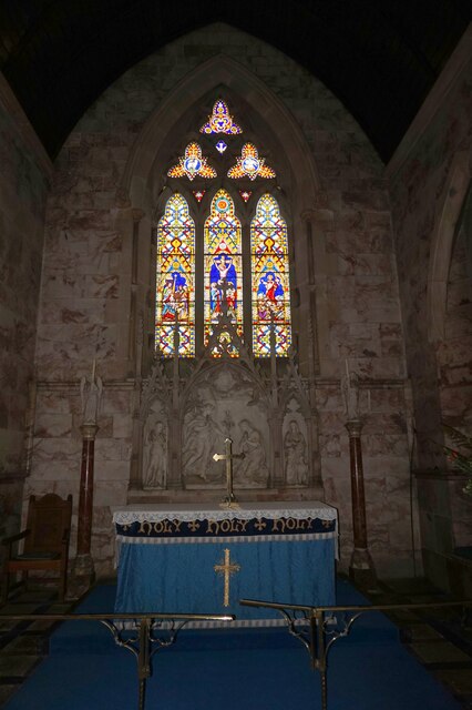
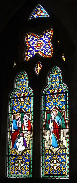
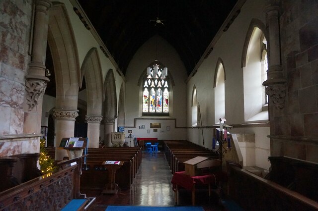
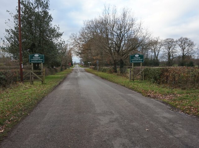
Barton Gate Images
Images are sourced within 2km of 52.770452/-1.743247 or Grid Reference SK1719. Thanks to Geograph Open Source API. All images are credited.


Barton Gate is located at Grid Ref: SK1719 (Lat: 52.770452, Lng: -1.743247)
Administrative County: Staffordshire
District: East Staffordshire
Police Authority: Staffordshire
What 3 Words
///kneeled.revealing.elated. Near Barton under Needwood, Staffordshire
Nearby Locations
Related Wikis

Barton Gate
Barton Gate is a village in Staffordshire, England.For population details at the 2011 census see Barton-under-Needwood.
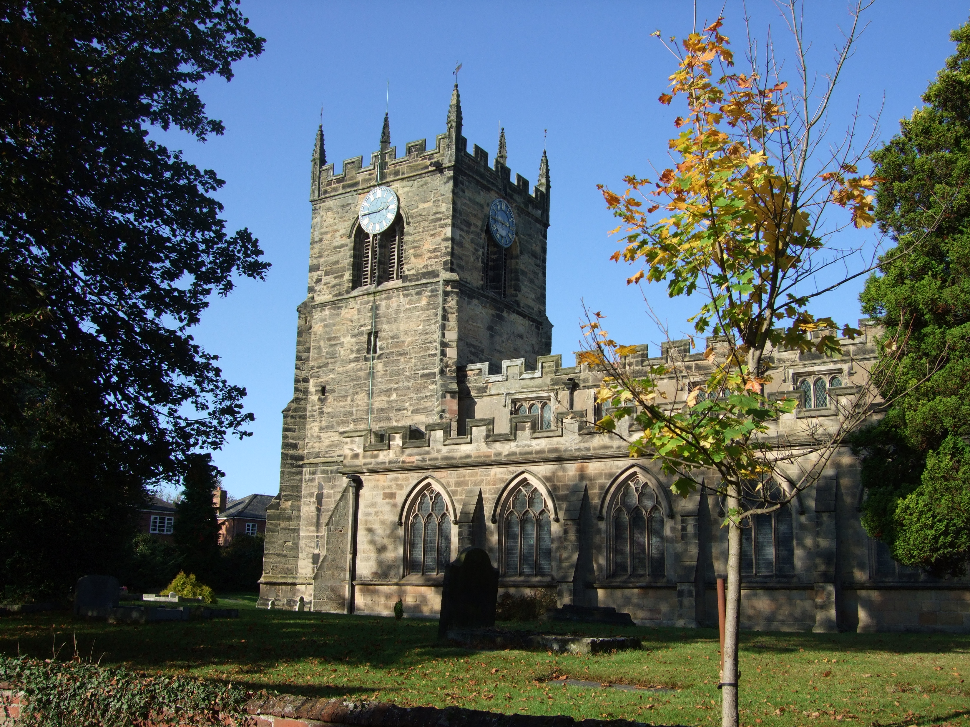
Barton-under-Needwood
Barton-under-Needwood is a large village in the East Staffordshire district of Staffordshire, England. Situated a mile from the A38, and located between...
John Taylor High School
John Taylor High School is a specialist science and leadership academy located in the East Staffordshire village of Barton-under-Needwood, near Burton...
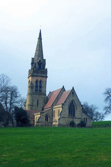
Dunstall
Dunstall is a small village and civil parish in the borough of East Staffordshire, Staffordshire, England. It lies between Burton upon Trent and Barton...
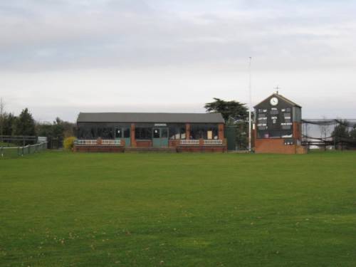
Deer Park, Dunstall
Deer Park is a cricket ground within the grounds of Dunstall Hall, Dunstall, Staffordshire. The first recorded match on the ground was in 1997, when the...
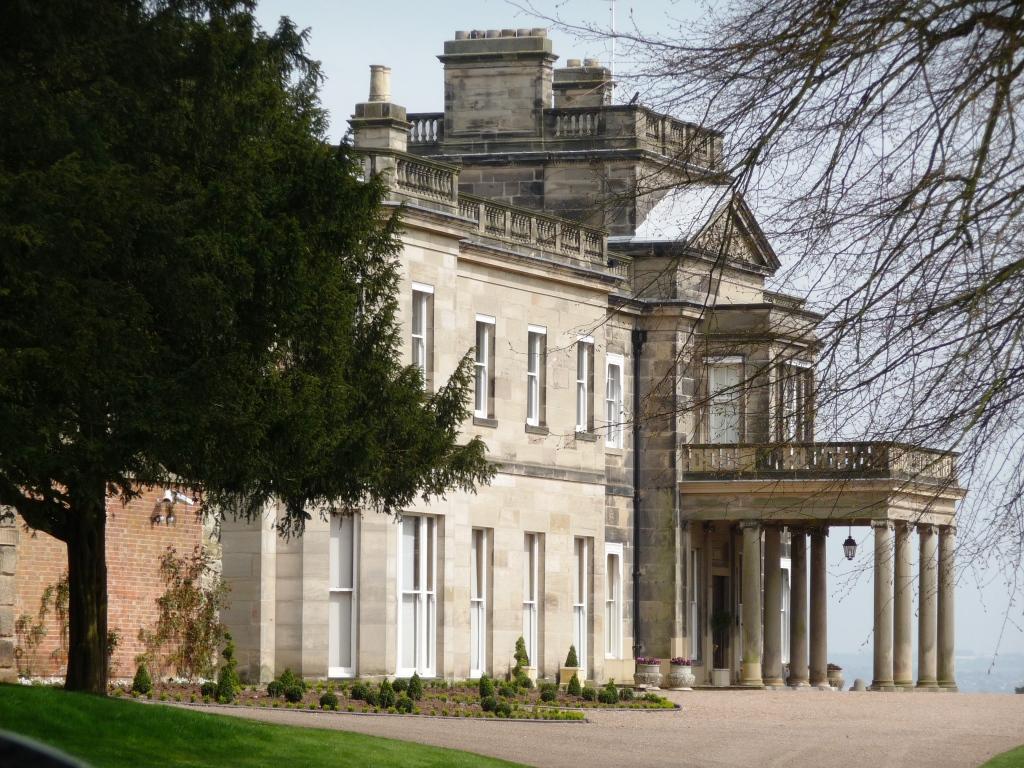
Dunstall Hall
Dunstall Hall is a privately owned 18th century mansion house near Tatenhill, Burton upon Trent, Staffordshire. It is a Grade II* listed building. �...
Brankley Pastures
Brankley Pastures is a nature reserve of the Staffordshire Wildlife Trust. It is about 2.5 miles (4.0 km) miles north-west of Barton-under-Needwood, in...
Barton Green
Barton Green is a village in Staffordshire, England. For population details taken at the 2011 census see Barton-under-Needwood
Related Videos

Barton marina visit
We travelled to Barton Marina which is a genuinely nice area in the village Barton-under-Needwood, in Staffordshire, in the heart ...

Barton marina hidden gem 🚤❤️
Great little marina relaxed atmosphere Good amenities. All you need for a relaxing morning or afternoon out # Bartonmarina ...

National Forest Way Escapades: The Adventure Continues
For lovers of English forests and woodlands, the the National Forest Way is a must to experience. It's a long distance path first ...

Nearby Amenities
Located within 500m of 52.770452,-1.743247Have you been to Barton Gate?
Leave your review of Barton Gate below (or comments, questions and feedback).