Park Wood

Wood, Forest in Gloucestershire Stroud

England

Park Wood

Stone Stile, Horsley Off Narrowcut Lane, on Gloucestershire footpath MHO75 looking West. The view looking East is <a href="https://www.geograph.org.uk/photo/7067457">ST8398 : Stone Stile, Horsley</a>.
Stone Stile, Horsley Credit: Mr Red

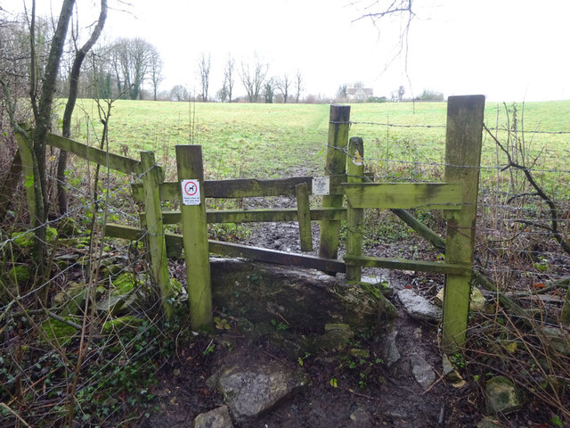
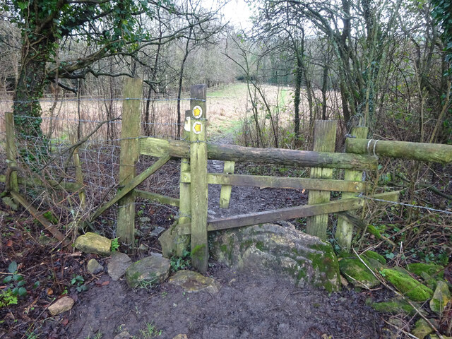
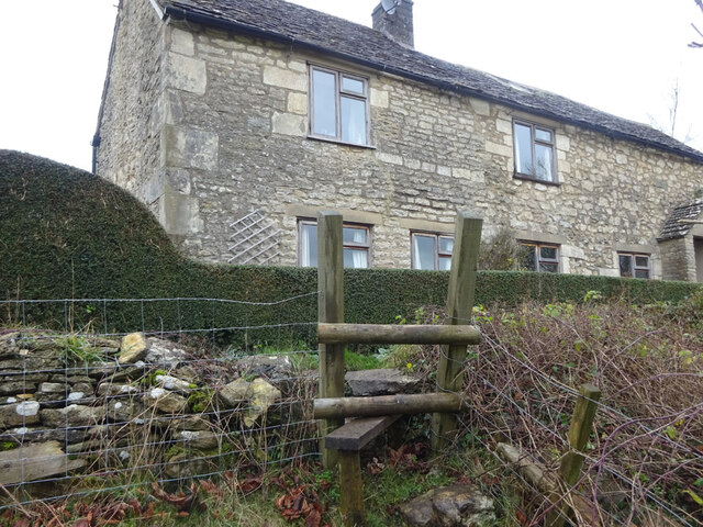
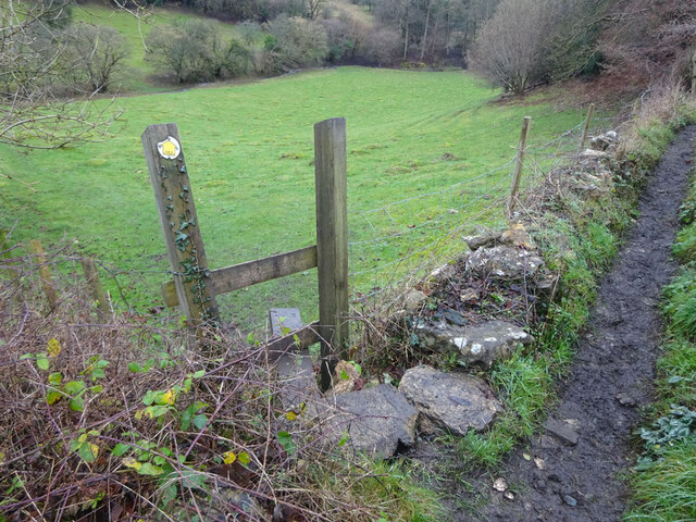
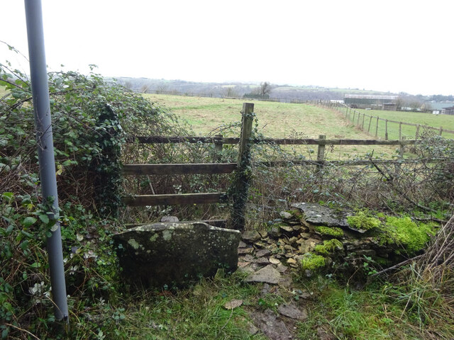
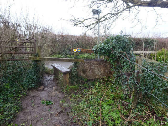
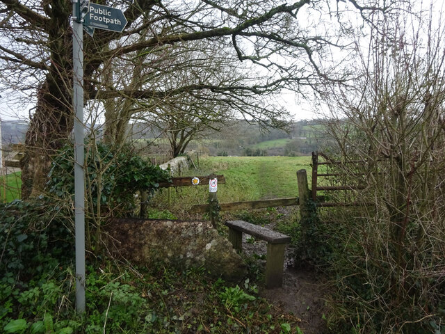
Park Wood is a picturesque forest located in the county of Gloucestershire, England. Covering an area of approximately 200 acres, it is a popular destination for nature lovers and outdoor enthusiasts. The wood is nestled within the larger Forest of Dean, a renowned ancient woodland, and is known for its diverse flora and fauna.

The wood is predominantly composed of broadleaf trees, including oaks, beeches, and birches, which create a dense canopy overhead. This provides a cool and shaded environment, perfect for leisurely walks and picnics on warm summer days. The forest floor is carpeted with a variety of wildflowers, ferns, and mosses, adding to the enchanting atmosphere.

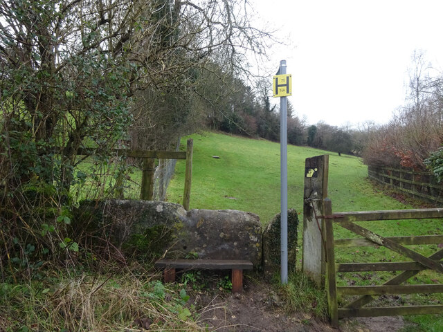
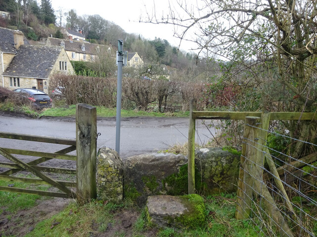
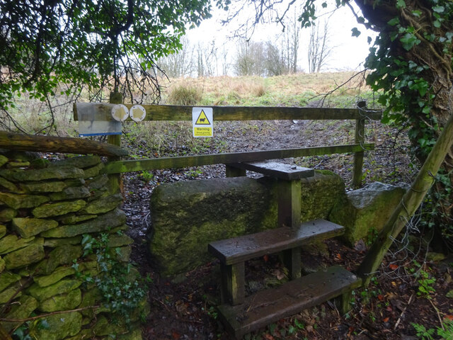
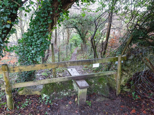
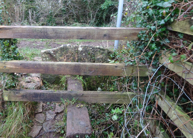
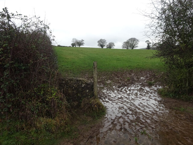
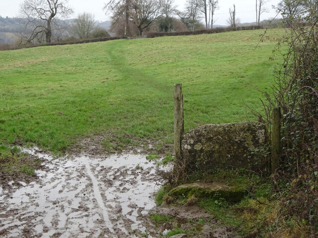
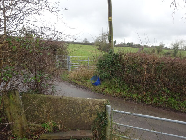
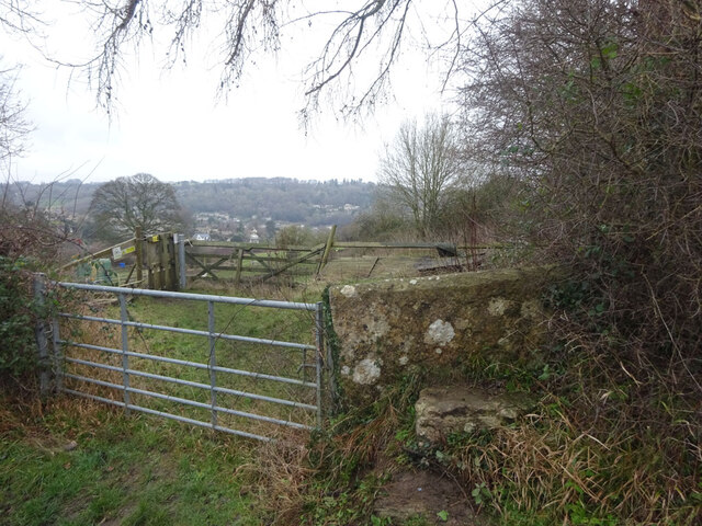
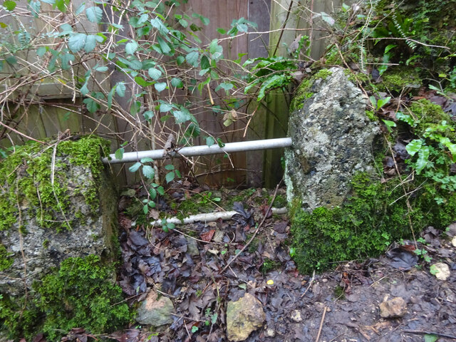
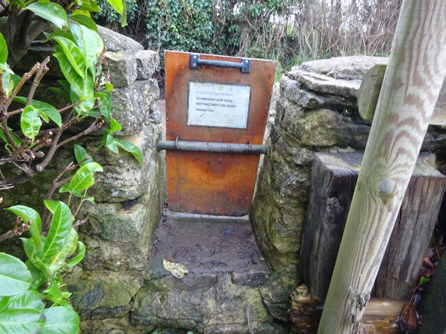
Park Wood is crisscrossed with a network of well-maintained trails, allowing visitors to explore the area at their own pace. These paths lead to various points of interest, such as an ancient burial site and a small stream that meanders through the wood. Wildlife is abundant, with sightings of deer, foxes, badgers, and a wide range of bird species being common.

The wood offers something for everyone, from families looking for a peaceful retreat to individuals seeking solitude and a chance to reconnect with nature. It is also a popular spot for photography enthusiasts, who are drawn to the natural beauty and tranquility of the wood.

Overall, Park Wood in Gloucestershire offers visitors a chance to immerse themselves in the beauty of nature and experience the serenity of a truly enchanting forest.

If you have any feedback on the listing, please let us know in the comments section below.

Park Wood Images

Images are sourced within 2km of 51.679178/-2.2312437 or Grid Reference ST8497. Thanks to Geograph Open Source API. All images are credited.

Stone Stile, Horsley Off Narrowcut Lane, on Gloucestershire footpath MHO75 looking West. The view looking East is <a href="https://www.geograph.org.uk/photo/7067457">ST8398 : Stone Stile, Horsley</a>.
Stone Stile, Horsley
Off Narrowcut Lane, on Gloucestershire footpath MHO75 looking West. The view looking East is ST8398 : Stone Stile, Horsley.
Stone Stile, Horsley Off Narrowcut Lane, on Gloucestershire footpath MHO75 looking East. The view looking West is <a href="https://www.geograph.org.uk/photo/7067455">ST8398 : Stone Stile, Horsley</a>.
Stone Stile, Horsley
Off Narrowcut Lane, on Gloucestershire footpath MHO75 looking East. The view looking West is ST8398 : Stone Stile, Horsley.
Stone Stile, Horsley At the junction of Gloucestershire footpaths MHO19 & MHO18, looking into the field. The view looking SW along MHO18 is <a href="https://www.geograph.org.uk/photo/7067498">ST8398 : Stone Stile, Horsley</a>.
Stone Stile, Horsley
At the junction of Gloucestershire footpaths MHO19 & MHO18, looking into the field. The view looking SW along MHO18 is ST8398 : Stone Stile, Horsley.
Stone Stile, Horsley At the junction of Gloucestershire footpaths MHO19 & MHO18, looking SW along MHO18. The view looking NE into the field is <a href="https://www.geograph.org.uk/photo/7067495">ST8398 : Stone Stile, Horsley</a>.
Stone Stile, Horsley
At the junction of Gloucestershire footpaths MHO19 & MHO18, looking SW along MHO18. The view looking NE into the field is ST8398 : Stone Stile, Horsley.
Stone Stile, Horsley Looking North into the top (rented by Ben) field on Gloucestershire footpaths MHO18 & MHO17. The view looking South is <a href="https://www.geograph.org.uk/photo/7067517">ST8398 : Stone Stile, Horsley</a>.
Stone Stile, Horsley
Looking North into the top (rented by Ben) field on Gloucestershire footpaths MHO18 & MHO17. The view looking South is ST8398 : Stone Stile, Horsley.
Stone Stile, Horsley Looking South from the top field (rented by Ben) on Gloucestershire footpaths MHO18 & MHO17. The view looking North is <a href="https://www.geograph.org.uk/photo/7067514">ST8398 : Stone Stile, Horsley</a>.
Stone Stile, Horsley
Looking South from the top field (rented by Ben) on Gloucestershire footpaths MHO18 & MHO17. The view looking North is ST8398 : Stone Stile, Horsley.
Stone Stile, Horsley A "gap in the wall" stile under the wooden structure. Looking NE on  Gloucestershire footpath MHO62 to MHO70. The view looking into the field is <a href="https://www.geograph.org.uk/photo/7067535">ST8398 : Stone Stile, Horsley</a>.
Stone Stile, Horsley
A "gap in the wall" stile under the wooden structure. Looking NE on Gloucestershire footpath MHO62 to MHO70. The view looking into the field is ST8398 : Stone Stile, Horsley.
Stone Stile, Horsley A "gap in the wall" stile under the wooden structure. Looking SW to  Gloucestershire footpath MHO62 from MHO70. The view looking from the field is <a href="https://www.geograph.org.uk/photo/7067532">ST8398 : Stone Stile, Horsley</a>.
Stone Stile, Horsley
A "gap in the wall" stile under the wooden structure. Looking SW to Gloucestershire footpath MHO62 from MHO70. The view looking from the field is ST8398 : Stone Stile, Horsley.
Stone Stile, Horsley Stile to Gloucestershire footpath MHO68, off a farm track looking SE. The view looking to the track is <a href="https://www.geograph.org.uk/photo/7067615">ST8398 : Stone Stile, Horsley</a>.
Stone Stile, Horsley
Stile to Gloucestershire footpath MHO68, off a farm track looking SE. The view looking to the track is ST8398 : Stone Stile, Horsley.
Stone Stile, Horsley Stile to Gloucestershire footpath MHO68, looking NW to a farm track. The view looking from the track is <a href="https://www.geograph.org.uk/photo/7067609">ST8398 : Stone Stile, Horsley</a>.
Stone Stile, Horsley
Stile to Gloucestershire footpath MHO68, looking NW to a farm track. The view looking from the track is ST8398 : Stone Stile, Horsley.
Stone Stile, Nailsworth On Gloucestershire footpath ZNA19 looking West. The view looking East is <a href="https://www.geograph.org.uk/photo/7067668">ST8499 : Stone Stile, Nailsworth</a>. The gap is the source of a spring running downhill to the right.
Stone Stile, Nailsworth
On Gloucestershire footpath ZNA19 looking West. The view looking East is ST8499 : Stone Stile, Nailsworth. The gap is the source of a spring running downhill to the right.
Stone Stile, Nailsworth On Gloucestershire footpath ZNA19 looking East. The view looking West is <a href="https://www.geograph.org.uk/photo/7067662">ST8499 : Stone Stile, Nailsworth</a>. The gap is the source of a spring running downhill to the left.
Stone Stile, Nailsworth
On Gloucestershire footpath ZNA19 looking East. The view looking West is ST8499 : Stone Stile, Nailsworth. The gap is the source of a spring running downhill to the left.
Stone Stile, Nailsworth Looking West on Gloucestershire footpaths ZNA19 & MHO14 to the u/c road. The view from the road is <a href="https://www.geograph.org.uk/photo/7067689">ST8499 : Stone Stile, Nailsworth</a>.
Stone Stile, Nailsworth
Looking West on Gloucestershire footpaths ZNA19 & MHO14 to the u/c road. The view from the road is ST8499 : Stone Stile, Nailsworth.
Stone Stile, Nailsworth Looking East on Gloucestershire footpaths ZNA19 & MHO14 from the u/c road. The view from the field is <a href="https://www.geograph.org.uk/photo/7067687">ST8499 : Stone Stile, Nailsworth</a>.
Stone Stile, Nailsworth
Looking East on Gloucestershire footpaths ZNA19 & MHO14 from the u/c road. The view from the field is ST8499 : Stone Stile, Nailsworth.
Stone Stile, Nailsworth To the North of "Cleves" on Gloucestershire footpath ZNA20. The view from the road is <a href="https://www.geograph.org.uk/photo/7067716">ST8499 : Stone Stile, Nailsworth</a>.
Stone Stile, Nailsworth
To the North of "Cleves" on Gloucestershire footpath ZNA20. The view from the road is ST8499 : Stone Stile, Nailsworth.
Stone Stile, Nailsworth To the North of "Cleves" on Gloucestershire footpath ZNA20. The view from the field is <a href="https://www.geograph.org.uk/photo/7067714">ST8499 : Stone Stile, Nailsworth</a>.
Stone Stile, Nailsworth
To the North of "Cleves" on Gloucestershire footpath ZNA20. The view from the field is ST8499 : Stone Stile, Nailsworth.
Stone Stile, Nailsworth Private "gap in the wall" stile off Gloucestershire footpath ZNA18. There is a door to a subsequently built shed coincident with it, obviously intended as an emergency exit.
Stone Stile, Nailsworth
Private "gap in the wall" stile off Gloucestershire footpath ZNA18. There is a door to a subsequently built shed coincident with it, obviously intended as an emergency exit.
Stone Stile, Horsley A "gap in the wall" stile with a removable gate on  Gloucestershire footpath MHO15. The inscription reads "Please replace board. To prevent our dogs getting onto the road. Thank You."
The view from the road is <a href="https://www.geograph.org.uk/photo/7067751">ST8498 : Stone Stile, Horsley</a>.
Stone Stile, Horsley
A "gap in the wall" stile with a removable gate on Gloucestershire footpath MHO15. The inscription reads "Please replace board. To prevent our dogs getting onto the road. Thank You." The view from the road is ST8498 : Stone Stile, Horsley.
Show me another place!

Park Wood is located at Grid Ref: ST8497 (Lat: 51.679178, Lng: -2.2312437)

Administrative County: Gloucestershire

District: Stroud

Police Authority: Gloucestershire

What 3 Words

///circulate.dove.digital. Near Nailsworth, Gloucestershire

Related Wikis

Horsley, Gloucestershire

Horsley is a village and civil parish about one and a half miles south-west of the small Cotswold market town of Nailsworth. The origins of the name Horsley...

Horsley Priory

Horsley Priory was a medieval, monastic house in Gloucestershire, England. Goda owned an estate at Horsley, in 1066. It was granted to Troarn Abbey by...

Barton End

Barton End is a village just south of Nailsworth, Gloucestershire, England.

Kingscote and Horsley Woods

Kingscote and Horsley Woods (grid reference ST831971) is a 43.79-hectare (108.2-acre) biological Site of Special Scientific Interest in Gloucestershire...

Shortwood United F.C.

Shortwood United Football Club is a football club based in Nailsworth, Gloucestershire, England. The club are currently members of the Hellenic League...

Nailsworth Town Hall

Nailsworth Town Hall is a municipal building in Old Bristol Road in Nailsworth, Gloucestershire, England. The structure currently operates as the meeting...

Newmarket, Gloucestershire

Newmarket is a hamlet in the parish of Horsley, Gloucestershire, England. == References ==

Nailsworth

Nailsworth is a town and civil parish in the Stroud District in Gloucestershire, England, lying in one of the Stroud Valleys in the Cotswolds, on the A46...

Related Videos

THE COTSWOLDS #happynewyear #walks #the #2024 #cotswolds #atmospheric #village #england #please 👍

A magical walk through Nailsworth near Stroud Gloucestershire. Well worth a visit any time of the year! Please Subscribe.

united Kingdom:Digital Trip to visit Box Woods by @krisztina.kapuvari | 2Morrow Trip

Come and #HopInOnline for #VirtualSights with #2MorrowDigitalTrips. Follow us on our channel ...

Nailsworth Town. cotswolds. Gloucestershire.

pictures of The town of nailsworth in Gloucestershire uk.

Girls trip to the Cotswolds (part 3) 🤍 ☕️

Join me for our last day in the Cotswolds! Our girls trip finally left the group chat ☁️🕊️ Me and my bestie spent 3 incredible ...

Nearby Amenities

Located within 500m of 51.679178,-2.2312437
Horsley
Is In: Gloucestershire, England, UK
Place: village
Postal Code: GL6 0
Lat/Long: 51.6816561/-2.2347089
Pub
The Hog
Addr Postcode: GL6 0PR
Air Conditioning: no
Fhrs Id: 704904
Indoor Seating: yes
Old Name: Bell and Castle
Outdoor Seating: yes
Website: http://horsleyparish.co.uk/
Lat/Long: 51.680892/-2.2348209
Post Box
Collection Times: Mo-Fr 16:15; Sa 09:15; Su off
Drive Through: no
Operator: Royal Mail
Operator Wikidata: Q638098
Post Box Type: wall
Postal Code: GL6
Ref: GL6 105
Royal Cypher: GR
Royal Cypher Wikidata: Q33102273
Source: survey
Lat/Long: 51.6808924/-2.2344007
Post Box
Collection Times: Mo-Fr 09:00; Sa 07:00
Ref: GL6 283
Royal Cypher: EIIR
Royal Cypher Wikidata: Q33102113
Lat/Long: 51.6816379/-2.2305122
Bus Stop
The Bell and Castle
Bench: no
Bin: no
Bus: yes
Lit: yes
Naptan AtcoCode: 1600GL2555
Naptan Bearing: NW
Naptan CommonName: The Bell and Castle
Naptan NaptanCode: glodajtg
Naptan Street: The Street
Naptan Verified: no
Public Transport: platform
Shelter: no
Source: naptan_import
Tactile Paving: no
Lat/Long: 51.6811193/-2.2353138
Bus Stop
The Bell and Castle
Bench: yes
Bin: yes
Bus: yes
Lit: yes
Naptan AtcoCode: 1600GL2556
Naptan Bearing: SE
Naptan CommonName: The Bell and Castle
Naptan Indicator: Opp
Naptan NaptanCode: glodajtj
Naptan Street: The Street
Naptan Verified: no
Public Transport: platform
Shelter: yes
Source: naptan_import
Tactile Paving: no
Lat/Long: 51.6811881/-2.2352752
Barrier: stile
Lat/Long: 51.6754409/-2.2318835
Barrier: stile
Lat/Long: 51.67719/-2.2324037
Barrier: stile
Bicycle: no
Foot: yes
Material: wood
Stile: stepover
Lat/Long: 51.6798512/-2.2379786
Telephone
Booth: K6
Covered: booth
Listed Status: Grade II
Operator: BT
Operator Wikidata: Q593786
Payment Coins: yes
Phone: +44 1453 832403
Lat/Long: 51.6811686/-2.2352012
Historic: memorial
Memorial: war_memorial
Lat/Long: 51.6811011/-2.2352962
Power: pole
Lat/Long: 51.6751599/-2.2339985
Barrier: stile
Lat/Long: 51.6783481/-2.2353283
Barrier: stile
Lat/Long: 51.6806773/-2.2272939
Fixme: line possibly incomplete - where does it go next? survey needed
Lat/Long: 51.6758887/-2.2306084
Power: pole
Lat/Long: 51.6755408/-2.2306933
Power: pole
Lat/Long: 51.674912/-2.2302916
Power: pole
Lat/Long: 51.6790494/-2.2254836
Power: pole
Lat/Long: 51.6787845/-2.227124
Power: pole
Lat/Long: 51.6787628/-2.2272419
Power: pole
Lat/Long: 51.6786715/-2.2278256
Power: pole
Lat/Long: 51.6783109/-2.230069
Power: pole
Lat/Long: 51.6781305/-2.2311983
Power: pole
Lat/Long: 51.6779005/-2.2326339
Power: pole
Lat/Long: 51.6769145/-2.2335766
Power: pole
Lat/Long: 51.6759061/-2.2338185
Defibrillator
Defibrillator Location: outside Horsley Primary School, The Street, Horsley
Emergency: defibrillator
Lat/Long: 51.6812191/-2.2357648
Entrance: yes
Lat/Long: 51.6811947/-2.235717
Noexit: yes
Lat/Long: 51.6827586/-2.2299335
Waste Basket
Waste: dog_excrement;trash
Lat/Long: 51.6816477/-2.230566
Power: pole
Lat/Long: 51.6802372/-2.2272875
Power: pole
Lat/Long: 51.6811236/-2.2269707
Power: pole
Lat/Long: 51.681906/-2.2267117
Waste Basket
Waste: dog_excrement
Lat/Long: 51.6834802/-2.2330909
Water Point
Access: permissive
Bottle: yes
Man Made: water_tap
Operator: The Hog
Lat/Long: 51.680852/-2.2347027
Bicycle Parking
Access: customers
Bicycle Parking: stands
Capacity: 6
Covered: no
Operator: The Hog
Supervised: no
Lat/Long: 51.6808427/-2.2347781
Barrier: stile
Lat/Long: 51.6772071/-2.2327836
Barrier: stile
Lat/Long: 51.6769906/-2.2327315
Natural: spring
Wikimedia Commons: File:Walled spring near Ruskin Mill, Nailsworth.jpg
Lat/Long: 51.6829788/-2.2296565
Artwork Type: sculpture
Material: wood
Tourism: artwork
Wikimedia Commons: File:Wooden sculpture at Hartley Bridge Mill.jpg
Lat/Long: 51.6804465/-2.2315776
The data included in this document is from www.openstreetmap.org. The data is made available under ODbL.

Have you been to Park Wood?

Leave your review of Park Wood below (or comments, questions and feedback).