Horsley

Civil Parish in Gloucestershire Stroud

England

Horsley

Stone Stile, Horsley Off Narrowcut Lane, on Gloucestershire footpath MHO75 looking West. The view looking East is <a href="https://www.geograph.org.uk/photo/7067457">ST8398 : Stone Stile, Horsley</a>.
Stone Stile, Horsley Credit: Mr Red

Horsley is a civil parish located in the Cotswold district of Gloucestershire, England. Situated about 8 miles northeast of the city of Gloucester, the parish covers an area of approximately 5 square miles. Horsley is a rural area characterized by its picturesque countryside, rolling hills, and charming villages.

The village of Horsley itself is small but vibrant, with a close-knit community of around 500 residents. The parish is primarily agricultural, with farming being the main occupation for many locals. The fertile land supports a variety of crops and livestock, contributing to the region's agricultural heritage.

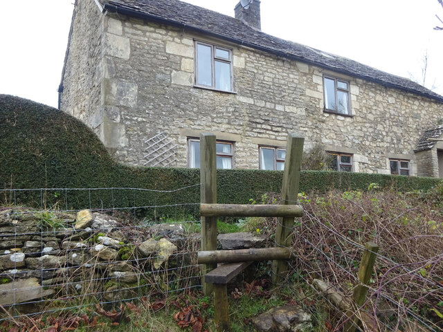
Horsley is dotted with traditional Cotswold stone cottages and historic buildings, adding to its rural charm. The parish church, St. Martin's, is a notable landmark and dates back to the 12th century. It serves as a focal point for the community and hosts various religious and community events throughout the year.

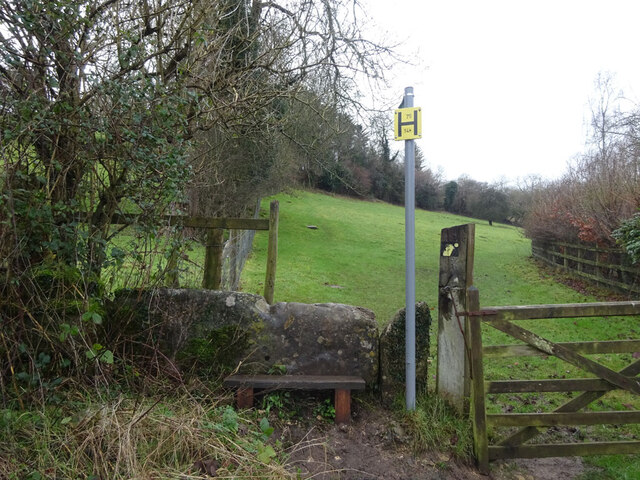
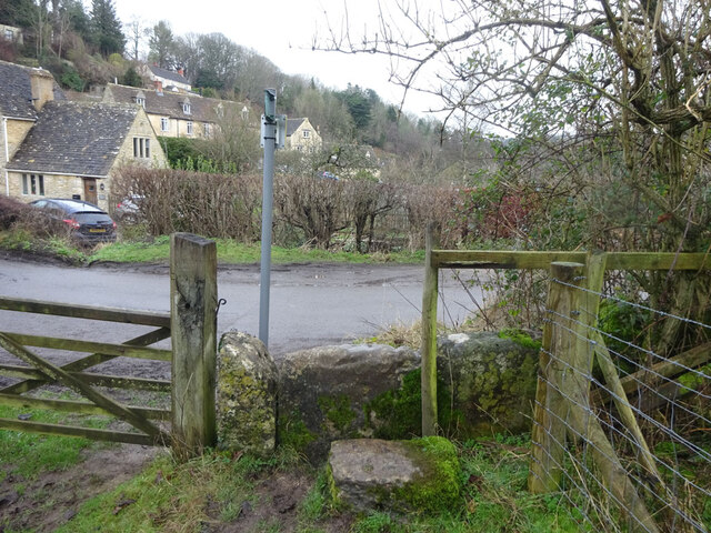
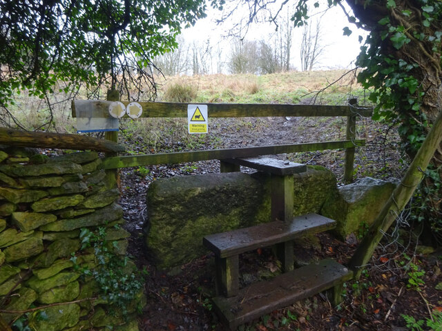
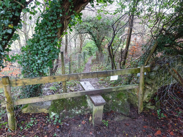
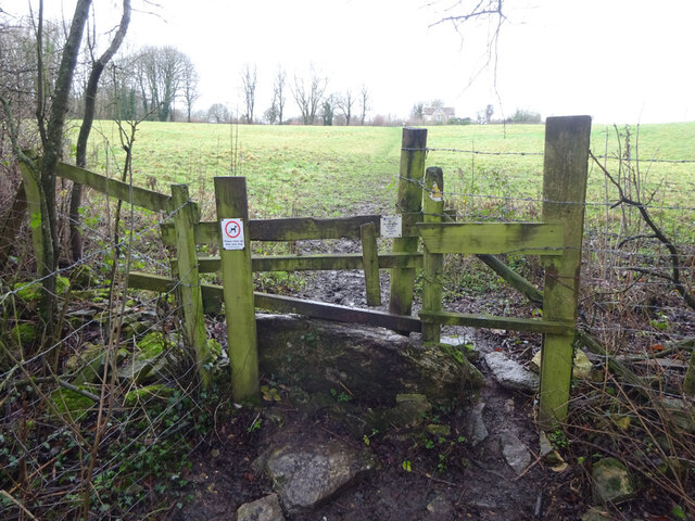
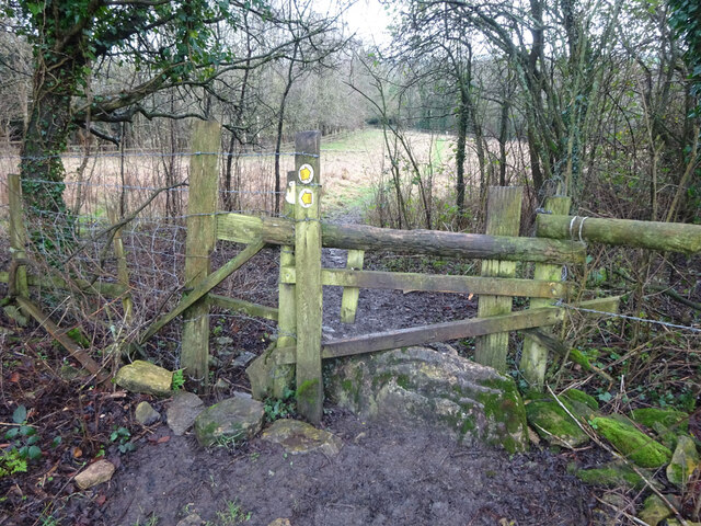
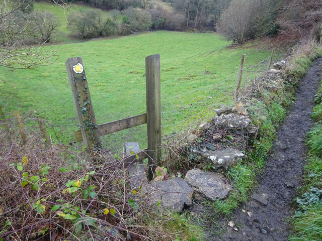
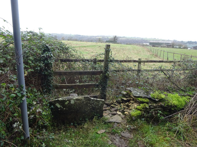
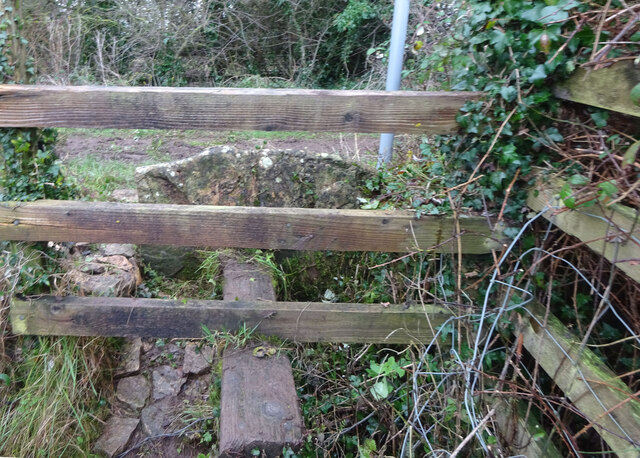
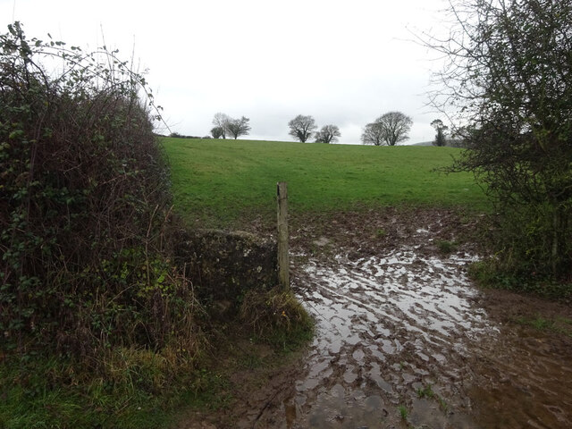
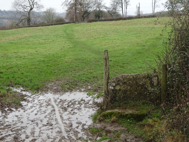
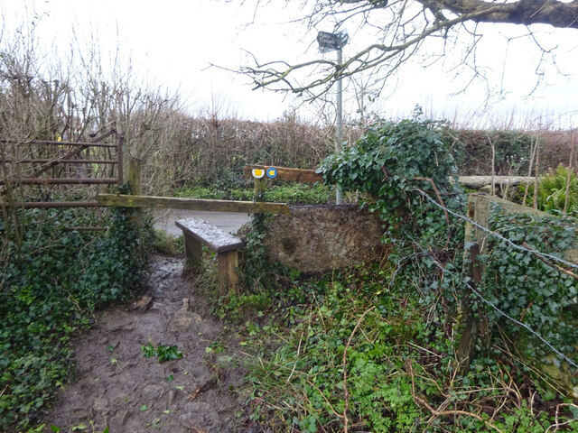
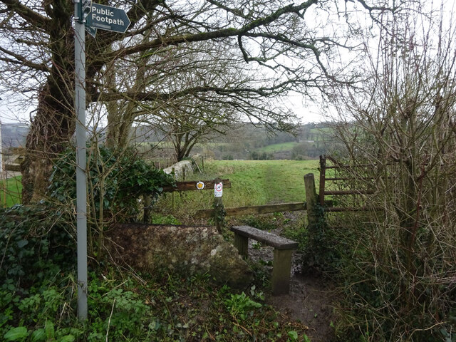
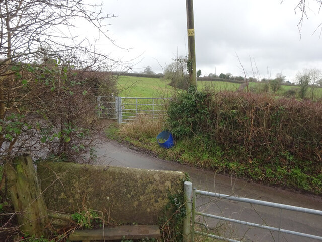
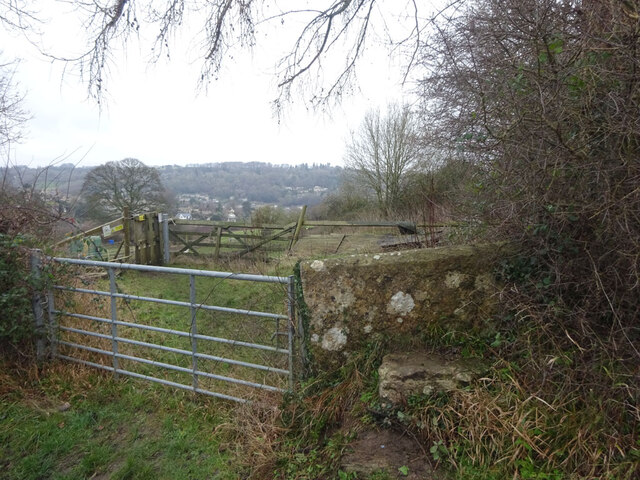
The surrounding countryside offers ample opportunities for outdoor activities and exploration. There are numerous walking and cycling trails that crisscross the area, allowing residents and visitors to enjoy the natural beauty of the Cotswolds. Horsley also benefits from its proximity to the Cotswold Way, a long-distance footpath that stretches for 102 miles and offers stunning views of the surrounding landscape.

Overall, Horsley is a tranquil and idyllic parish that provides a peaceful retreat from the hustle and bustle of city life. Its rich agricultural heritage, beautiful scenery, and strong sense of community make it a desirable place to live or visit for those seeking a quintessential English countryside experience.

If you have any feedback on the listing, please let us know in the comments section below.
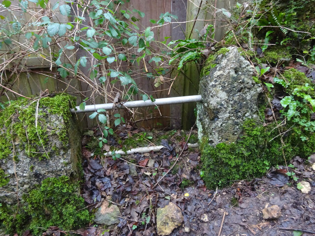
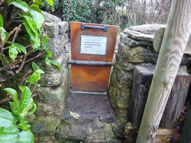
Horsley Images

Images are sourced within 2km of 51.676511/-2.229197 or Grid Reference ST8497. Thanks to Geograph Open Source API. All images are credited.

Stone Stile, Horsley Off Narrowcut Lane, on Gloucestershire footpath MHO75 looking West. The view looking East is <a href="https://www.geograph.org.uk/photo/7067457">ST8398 : Stone Stile, Horsley</a>.
Stone Stile, Horsley
Off Narrowcut Lane, on Gloucestershire footpath MHO75 looking West. The view looking East is ST8398 : Stone Stile, Horsley.
Stone Stile, Horsley Off Narrowcut Lane, on Gloucestershire footpath MHO75 looking East. The view looking West is <a href="https://www.geograph.org.uk/photo/7067455">ST8398 : Stone Stile, Horsley</a>.
Stone Stile, Horsley
Off Narrowcut Lane, on Gloucestershire footpath MHO75 looking East. The view looking West is ST8398 : Stone Stile, Horsley.
Stone Stile, Horsley At the junction of Gloucestershire footpaths MHO19 & MHO18, looking into the field. The view looking SW along MHO18 is <a href="https://www.geograph.org.uk/photo/7067498">ST8398 : Stone Stile, Horsley</a>.
Stone Stile, Horsley
At the junction of Gloucestershire footpaths MHO19 & MHO18, looking into the field. The view looking SW along MHO18 is ST8398 : Stone Stile, Horsley.
Stone Stile, Horsley At the junction of Gloucestershire footpaths MHO19 & MHO18, looking SW along MHO18. The view looking NE into the field is <a href="https://www.geograph.org.uk/photo/7067495">ST8398 : Stone Stile, Horsley</a>.
Stone Stile, Horsley
At the junction of Gloucestershire footpaths MHO19 & MHO18, looking SW along MHO18. The view looking NE into the field is ST8398 : Stone Stile, Horsley.
Stone Stile, Horsley Looking North into the top (rented by Ben) field on Gloucestershire footpaths MHO18 & MHO17. The view looking South is <a href="https://www.geograph.org.uk/photo/7067517">ST8398 : Stone Stile, Horsley</a>.
Stone Stile, Horsley
Looking North into the top (rented by Ben) field on Gloucestershire footpaths MHO18 & MHO17. The view looking South is ST8398 : Stone Stile, Horsley.
Stone Stile, Horsley Looking South from the top field (rented by Ben) on Gloucestershire footpaths MHO18 & MHO17. The view looking North is <a href="https://www.geograph.org.uk/photo/7067514">ST8398 : Stone Stile, Horsley</a>.
Stone Stile, Horsley
Looking South from the top field (rented by Ben) on Gloucestershire footpaths MHO18 & MHO17. The view looking North is ST8398 : Stone Stile, Horsley.
Stone Stile, Horsley A "gap in the wall" stile under the wooden structure. Looking NE on  Gloucestershire footpath MHO62 to MHO70. The view looking into the field is <a href="https://www.geograph.org.uk/photo/7067535">ST8398 : Stone Stile, Horsley</a>.
Stone Stile, Horsley
A "gap in the wall" stile under the wooden structure. Looking NE on Gloucestershire footpath MHO62 to MHO70. The view looking into the field is ST8398 : Stone Stile, Horsley.
Stone Stile, Horsley A "gap in the wall" stile under the wooden structure. Looking SW to  Gloucestershire footpath MHO62 from MHO70. The view looking from the field is <a href="https://www.geograph.org.uk/photo/7067532">ST8398 : Stone Stile, Horsley</a>.
Stone Stile, Horsley
A "gap in the wall" stile under the wooden structure. Looking SW to Gloucestershire footpath MHO62 from MHO70. The view looking from the field is ST8398 : Stone Stile, Horsley.
Stone Stile, Horsley Stile to Gloucestershire footpath MHO68, off a farm track looking SE. The view looking to the track is <a href="https://www.geograph.org.uk/photo/7067615">ST8398 : Stone Stile, Horsley</a>.
Stone Stile, Horsley
Stile to Gloucestershire footpath MHO68, off a farm track looking SE. The view looking to the track is ST8398 : Stone Stile, Horsley.
Stone Stile, Horsley Stile to Gloucestershire footpath MHO68, looking NW to a farm track. The view looking from the track is <a href="https://www.geograph.org.uk/photo/7067609">ST8398 : Stone Stile, Horsley</a>.
Stone Stile, Horsley
Stile to Gloucestershire footpath MHO68, looking NW to a farm track. The view looking from the track is ST8398 : Stone Stile, Horsley.
Stone Stile, Nailsworth On Gloucestershire footpath ZNA19 looking West. The view looking East is <a href="https://www.geograph.org.uk/photo/7067668">ST8499 : Stone Stile, Nailsworth</a>. The gap is the source of a spring running downhill to the right.
Stone Stile, Nailsworth
On Gloucestershire footpath ZNA19 looking West. The view looking East is ST8499 : Stone Stile, Nailsworth. The gap is the source of a spring running downhill to the right.
Stone Stile, Nailsworth On Gloucestershire footpath ZNA19 looking East. The view looking West is <a href="https://www.geograph.org.uk/photo/7067662">ST8499 : Stone Stile, Nailsworth</a>. The gap is the source of a spring running downhill to the left.
Stone Stile, Nailsworth
On Gloucestershire footpath ZNA19 looking East. The view looking West is ST8499 : Stone Stile, Nailsworth. The gap is the source of a spring running downhill to the left.
Stone Stile, Nailsworth Looking West on Gloucestershire footpaths ZNA19 & MHO14 to the u/c road. The view from the road is <a href="https://www.geograph.org.uk/photo/7067689">ST8499 : Stone Stile, Nailsworth</a>.
Stone Stile, Nailsworth
Looking West on Gloucestershire footpaths ZNA19 & MHO14 to the u/c road. The view from the road is ST8499 : Stone Stile, Nailsworth.
Stone Stile, Nailsworth Looking East on Gloucestershire footpaths ZNA19 & MHO14 from the u/c road. The view from the field is <a href="https://www.geograph.org.uk/photo/7067687">ST8499 : Stone Stile, Nailsworth</a>.
Stone Stile, Nailsworth
Looking East on Gloucestershire footpaths ZNA19 & MHO14 from the u/c road. The view from the field is ST8499 : Stone Stile, Nailsworth.
Stone Stile, Nailsworth To the North of "Cleves" on Gloucestershire footpath ZNA20. The view from the road is <a href="https://www.geograph.org.uk/photo/7067716">ST8499 : Stone Stile, Nailsworth</a>.
Stone Stile, Nailsworth
To the North of "Cleves" on Gloucestershire footpath ZNA20. The view from the road is ST8499 : Stone Stile, Nailsworth.
Stone Stile, Nailsworth To the North of "Cleves" on Gloucestershire footpath ZNA20. The view from the field is <a href="https://www.geograph.org.uk/photo/7067714">ST8499 : Stone Stile, Nailsworth</a>.
Stone Stile, Nailsworth
To the North of "Cleves" on Gloucestershire footpath ZNA20. The view from the field is ST8499 : Stone Stile, Nailsworth.
Stone Stile, Nailsworth Private "gap in the wall" stile off Gloucestershire footpath ZNA18. There is a door to a subsequently built shed coincident with it, obviously intended as an emergency exit.
Stone Stile, Nailsworth
Private "gap in the wall" stile off Gloucestershire footpath ZNA18. There is a door to a subsequently built shed coincident with it, obviously intended as an emergency exit.
Stone Stile, Horsley A "gap in the wall" stile with a removable gate on  Gloucestershire footpath MHO15. The inscription reads "Please replace board. To prevent our dogs getting onto the road. Thank You."
The view from the road is <a href="https://www.geograph.org.uk/photo/7067751">ST8498 : Stone Stile, Horsley</a>.
Stone Stile, Horsley
A "gap in the wall" stile with a removable gate on Gloucestershire footpath MHO15. The inscription reads "Please replace board. To prevent our dogs getting onto the road. Thank You." The view from the road is ST8498 : Stone Stile, Horsley.
Show me another place!

Horsley is located at Grid Ref: ST8497 (Lat: 51.676511, Lng: -2.229197)

Administrative County: Gloucestershire

District: Stroud

Police Authority: Gloucestershire

What 3 Words

///flows.wiggling.taking. Near Nailsworth, Gloucestershire

Related Wikis

Barton End

Barton End is a village just south of Nailsworth, Gloucestershire, England.

Horsley Priory

Horsley Priory was a medieval, monastic house in Gloucestershire, England. Goda owned an estate at Horsley, in 1066. It was granted to Troarn Abbey by...

Horsley, Gloucestershire

Horsley is a village and civil parish about one and a half miles south-west of the small Cotswold market town of Nailsworth. The origins of the name Horsley...

Kingscote and Horsley Woods

Kingscote and Horsley Woods (grid reference ST831971) is a 43.79-hectare (108.2-acre) biological Site of Special Scientific Interest in Gloucestershire...

Shortwood United F.C.

Shortwood United Football Club is a football club based in Nailsworth, Gloucestershire, England. The club are currently members of the Hellenic League...

Nailsworth Town Hall

Nailsworth Town Hall is a municipal building in Old Bristol Road in Nailsworth, Gloucestershire, England. The structure currently operates as the meeting...

Newmarket, Gloucestershire

Newmarket is a hamlet in the parish of Horsley, Gloucestershire, England. == References ==

Nailsworth

Nailsworth is a town and civil parish in the Stroud District in Gloucestershire, England, lying in one of the Stroud Valleys in the Cotswolds, on the A46...

Nearby Amenities

Located within 500m of 51.676511,-2.229197
Bus Stop
Tipputs Inn
Bus: yes
Naptan AtcoCode: 1600GL4797
Naptan Bearing: S
Naptan CommonName: Tipputs Inn
Naptan Indicator: Opp
Naptan NaptanCode: glodawjp
Naptan Street: A46
Naptan Verified: no
Public Transport: platform
Source: naptan_import
Lat/Long: 51.6731622/-2.2254249
Bus Stop
Tipputs Inn
Bus: yes
Naptan AtcoCode: 1600GL4798
Naptan Bearing: N
Naptan CommonName: Tipputs Inn
Naptan NaptanCode: glodawdt
Naptan Street: A46
Naptan Verified: no
Public Transport: platform
Source: naptan_import
Lat/Long: 51.6725137/-2.2260001
Barrier: stile
Lat/Long: 51.6754409/-2.2318835
Barrier: stile
Lat/Long: 51.67719/-2.2324037
Power: pole
Lat/Long: 51.6736144/-2.2337818
Power: pole
Lat/Long: 51.674453/-2.2338751
Power: pole
Lat/Long: 51.6751599/-2.2339985
Power: pole
Lat/Long: 51.6742534/-2.2352886
Power: pole
Lat/Long: 51.6739499/-2.2339247
Power: pole
Lat/Long: 51.673485/-2.2319439
Power: pole
Lat/Long: 51.673129/-2.2303802
Power: pole
Lat/Long: 51.672482/-2.227993
Barrier: stile
Lat/Long: 51.6783481/-2.2353283
Barrier: stile
Lat/Long: 51.6806773/-2.2272939
Fixme: line possibly incomplete - where does it go next? survey needed
Lat/Long: 51.6758887/-2.2306084
Power: pole
Lat/Long: 51.6755408/-2.2306933
Power: pole
Lat/Long: 51.674912/-2.2302916
Fixme: line possibly incomplete - where does it go next? survey needed
Power: pole
Lat/Long: 51.6735489/-2.2279343
Power: pole
Lat/Long: 51.6739683/-2.229481
Power: pole
Lat/Long: 51.6741307/-2.2305316
Power: pole
Lat/Long: 51.6743629/-2.2319921
Power: pole
Lat/Long: 51.6790494/-2.2254836
Power: pole
Lat/Long: 51.6787845/-2.227124
Power: pole
Lat/Long: 51.6787628/-2.2272419
Power: pole
Lat/Long: 51.6786715/-2.2278256
Power: pole
Lat/Long: 51.6783109/-2.230069
Power: pole
Lat/Long: 51.6781305/-2.2311983
Power: pole
Lat/Long: 51.6779005/-2.2326339
Power: pole
Lat/Long: 51.6769145/-2.2335766
Power: pole
Lat/Long: 51.6759061/-2.2338185
Power: pole
Lat/Long: 51.6737715/-2.2331536
Power: pole
Lat/Long: 51.6733661/-2.2337778
Power: pole
Lat/Long: 51.6802372/-2.2272875
Barrier: stile
Lat/Long: 51.6772071/-2.2327836
Barrier: stile
Lat/Long: 51.6769906/-2.2327315
Artwork Type: sculpture
Material: wood
Tourism: artwork
Wikimedia Commons: File:Wooden sculpture at Hartley Bridge Mill.jpg
Lat/Long: 51.6804465/-2.2315776
The data included in this document is from www.openstreetmap.org. The data is made available under ODbL.

Have you been to Horsley?

Leave your review of Horsley below (or comments, questions and feedback).