Blackhill Clump
Wood, Forest in Dorset
England
Blackhill Clump
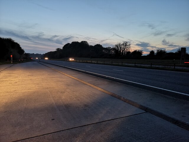
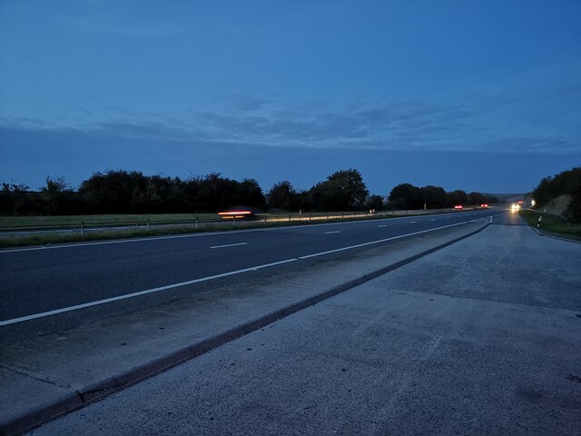
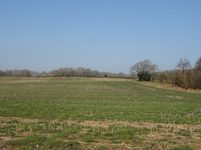
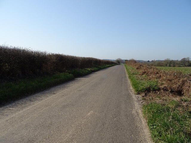
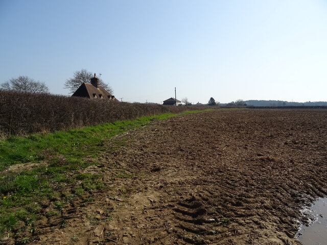
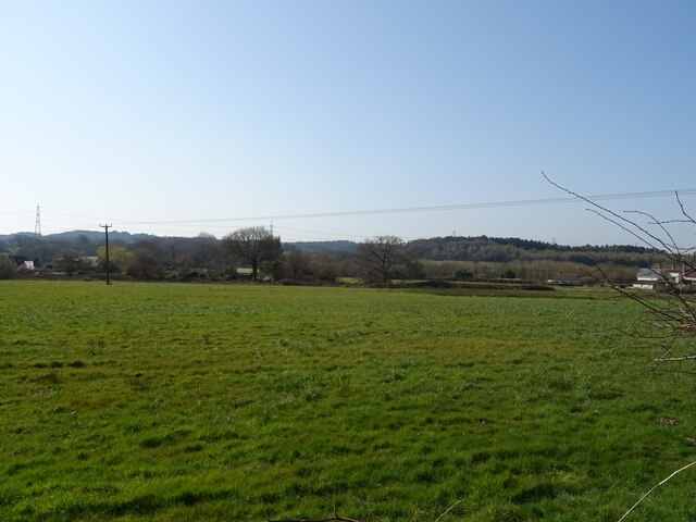
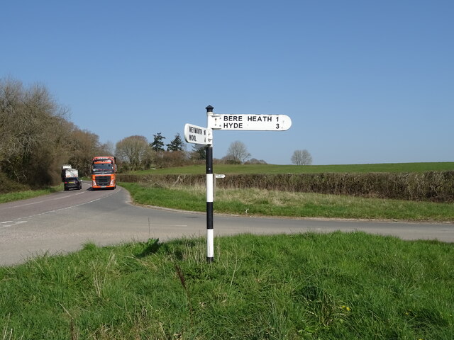
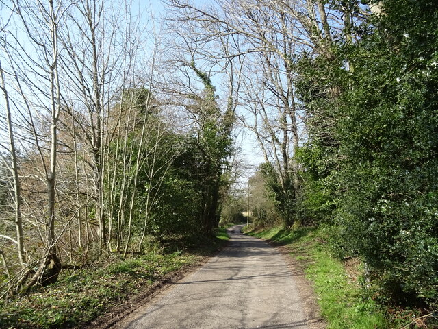
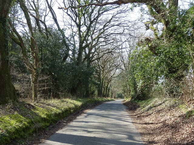
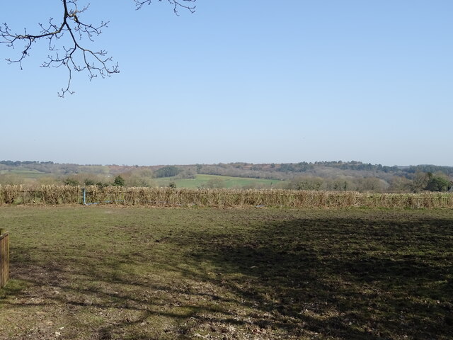
Blackhill Clump is a picturesque woodland located in the county of Dorset, England. It is situated near the village of Shillingstone, approximately 10 miles north of the town of Blandford Forum. Covering an area of around 50 acres, the clump is a popular destination for nature enthusiasts, hikers, and birdwatchers.
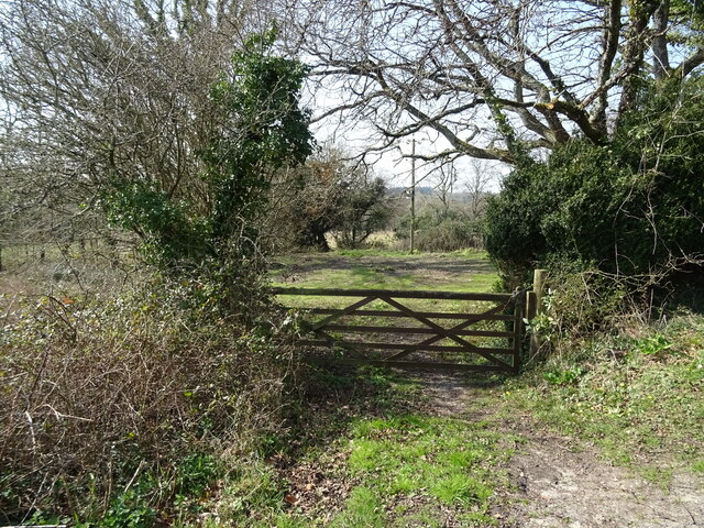
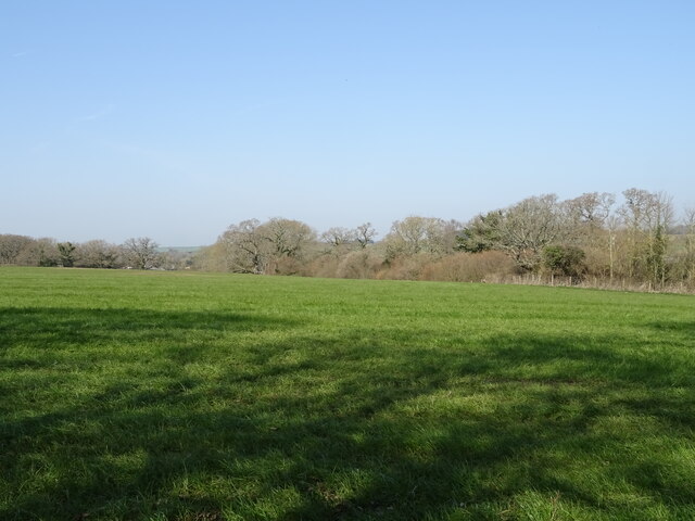
The woodland is predominantly composed of mature broadleaf trees, such as oak, beech, and ash, which create a dense canopy providing shade and shelter to a diverse range of flora and fauna. Bluebells and wild garlic carpet the forest floor during spring, creating a stunning visual display. The variety of tree species also attracts numerous bird species, including woodpeckers, tits, and warblers.
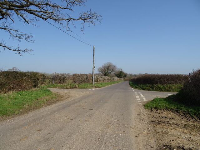
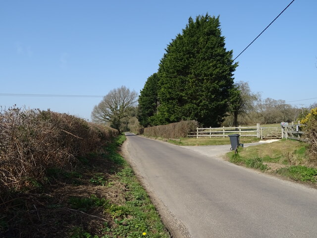
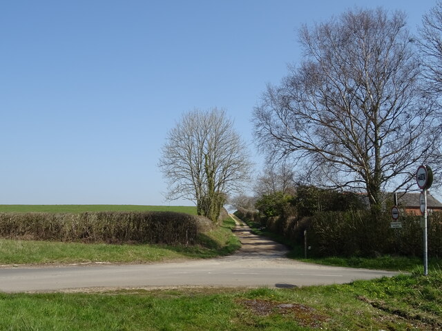
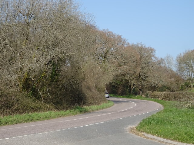
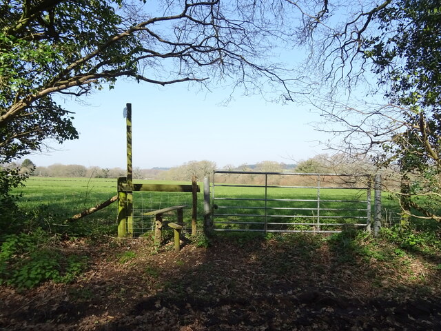
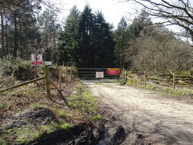
Blackhill Clump offers several walking trails, allowing visitors to explore the woodland and enjoy its tranquil atmosphere. The paths wind through the trees, offering glimpses of the surrounding countryside and occasional views of the nearby River Stour. These trails cater to different abilities, ranging from short, easy walks suitable for families to longer, more challenging routes for experienced hikers.
The clump is managed by a local conservation group, ensuring the preservation of its natural beauty and wildlife. The woodland is home to a diverse array of wildlife, including deer, badgers, and foxes, making it an ideal spot for wildlife enthusiasts and photographers.
Blackhill Clump is a hidden gem in Dorset, offering a peaceful retreat for those seeking solace in nature's embrace. Whether it's a leisurely stroll or an immersive wildlife experience, this woodland provides a captivating escape for all who venture within its leafy confines.
If you have any feedback on the listing, please let us know in the comments section below.
Blackhill Clump Images
Images are sourced within 2km of 50.742093/-2.2266205 or Grid Reference SY8493. Thanks to Geograph Open Source API. All images are credited.
Blackhill Clump is located at Grid Ref: SY8493 (Lat: 50.742093, Lng: -2.2266205)
Unitary Authority: Dorset
Police Authority: Dorset
What 3 Words
///senses.iteration.bounded. Near Bere Regis, Dorset
Nearby Locations
Related Wikis

Black Hill Heath
Black Hill Heath (grid reference SY835943) is a 69.67 hectare biological Site of Special Scientific Interest in Dorset, notified in 1989. == Sources... ==

Turners Puddle
Turners Puddle is a village and former civil parish, now in the parish of Affpuddle and Turnerspuddle, in the Dorset district, in the ceremonial county...

Bere Regis
Bere Regis () is a village and civil parish in Dorset, England, situated 6 miles (9.7 km) north-west of Wareham. In the 2011 census the civil parish had...
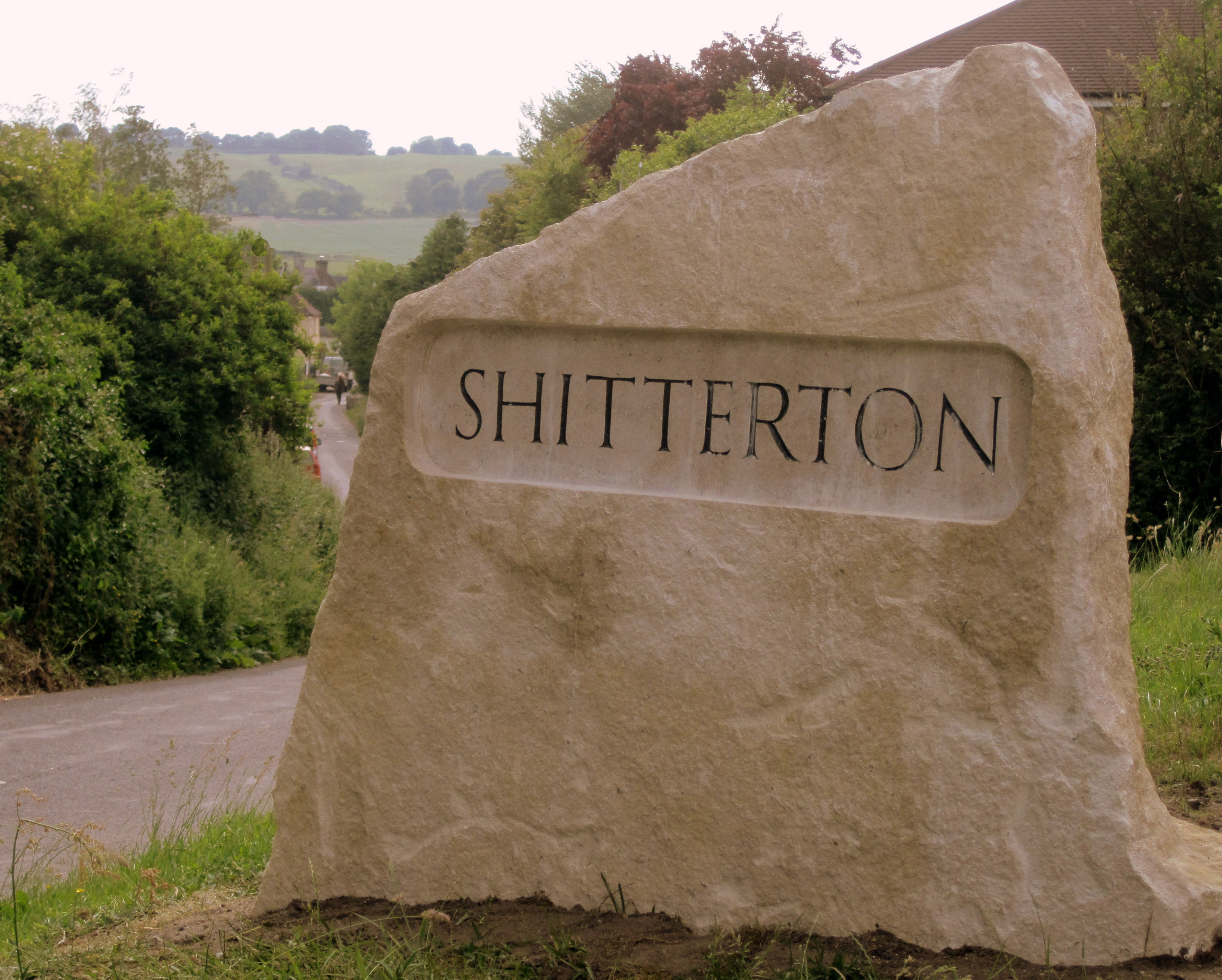
Shitterton
Shitterton is a hamlet in Bere Regis Dorset, England. It includes a collection of historic thatched buildings dating back to the 18th century and earlier...

Woodbury Hill, Dorset
Woodbury Hill is a hill near Bere Regis in Dorset, England. It is the site of an Iron Age hillfort (a scheduled monument), and the location of an annual...
Bere Stream
Bere Stream (grid reference SY860926) is an 11.2 hectare biological Site of Special Scientific Interest in Dorset, notified in 1977. == Sources == English...

Briantspuddle
Briantspuddle is a small village in the Piddle Valley in Dorset, England, near the villages of Affpuddle and Tolpuddle and about 8 miles (13 km) east of...

Cull-Peppers Dish
Cull-Peppers Dish (grid reference SY814926) is a 0.9-hectare (2.2-acre) geological Site of Special Scientific Interest in Dorset, notified in 1989. �...
Nearby Amenities
Located within 500m of 50.742093,-2.2266205Have you been to Blackhill Clump?
Leave your review of Blackhill Clump below (or comments, questions and feedback).