Hundred Barrow

Heritage Site in Dorset

England

Hundred Barrow

Subble field
Subble field Credit: JThomas

Hundred Barrow, located in Dorset, England, is a significant heritage site that holds historical and archaeological importance. This ancient monument is an earthwork dating back to the Bronze Age, approximately 4,000 years ago.

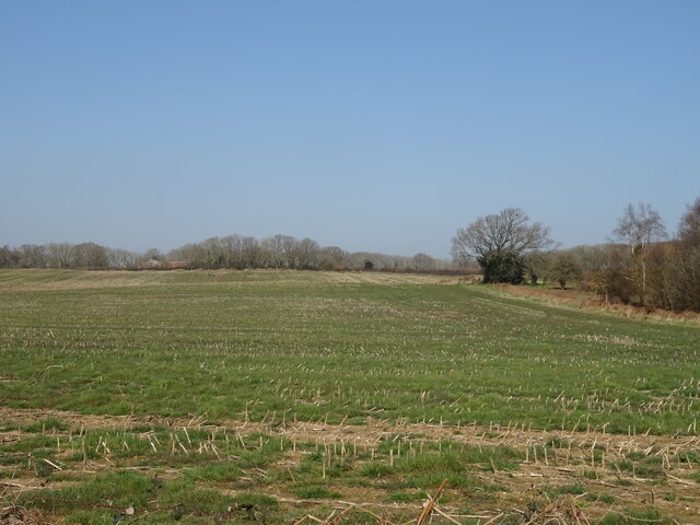
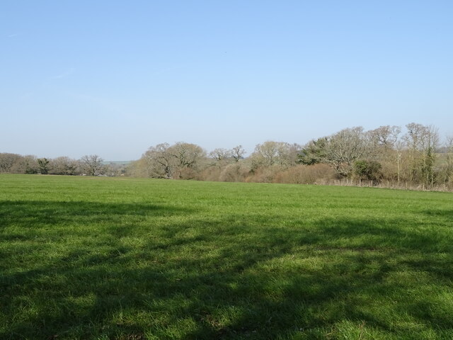
The site consists of a large circular enclosure, surrounded by a ditch and bank, creating a distinctive barrow shape. The earthworks encompass an area of about 2.5 hectares and stand at an impressive height of 3 meters. The original purpose of Hundred Barrow is uncertain, but it is believed to have served as a burial mound or a ritual site.

Archaeological excavations have revealed several intriguing artifacts within the enclosure, including pottery, flint tools, and even human remains. These discoveries provide valuable insights into the lives and practices of the people who once inhabited this area.

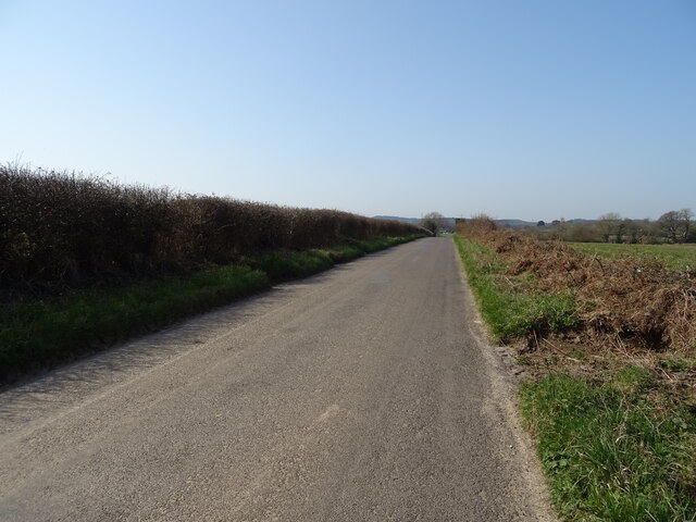
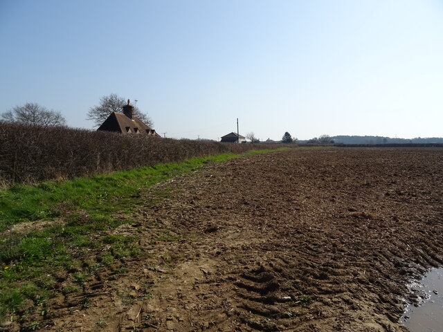
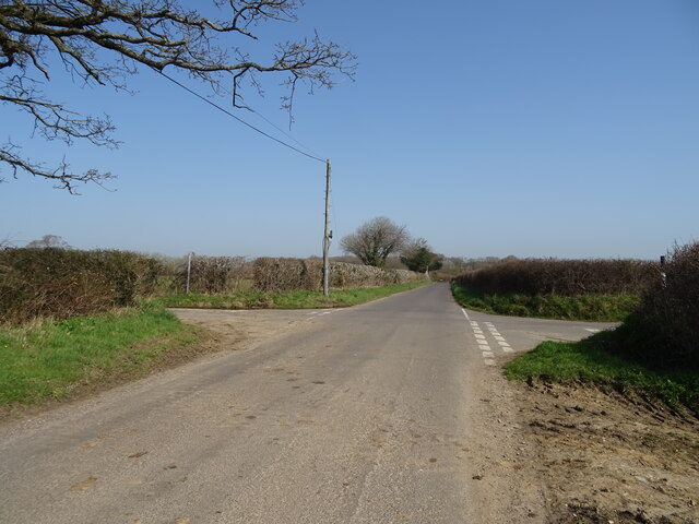
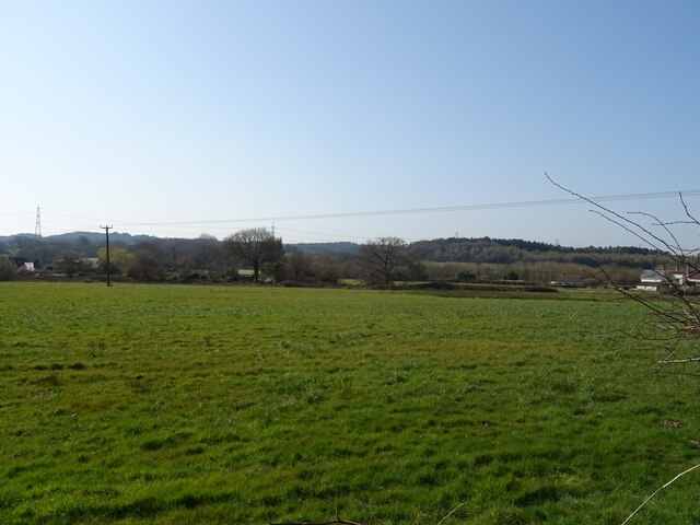
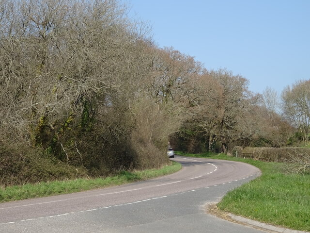
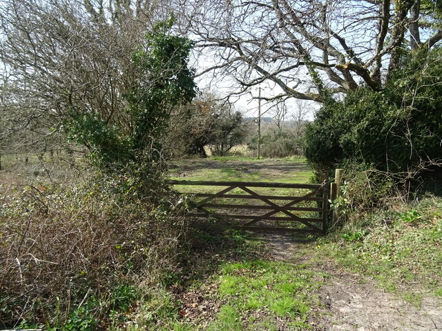
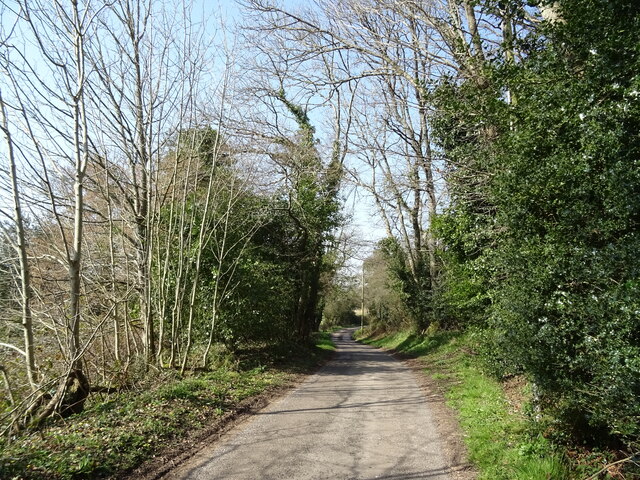
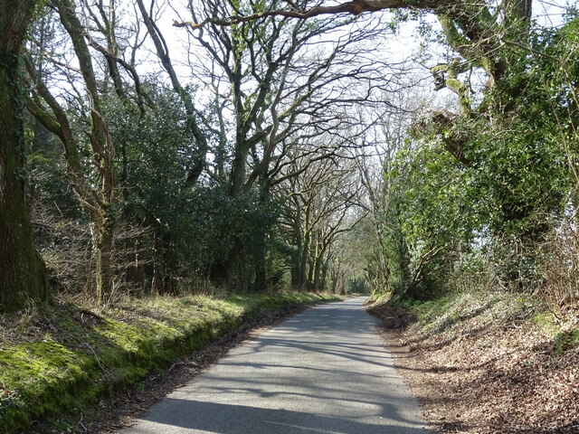
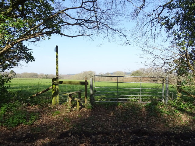
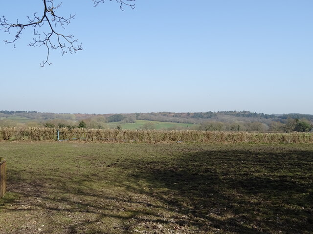
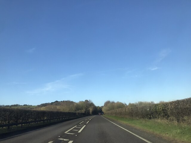
Hundred Barrow's location in the beautiful Dorset countryside adds to its allure. Surrounded by lush green fields and rolling hills, the site offers panoramic views of the surrounding landscape. It attracts visitors from all over the world, including history enthusiasts, archaeologists, and nature lovers.

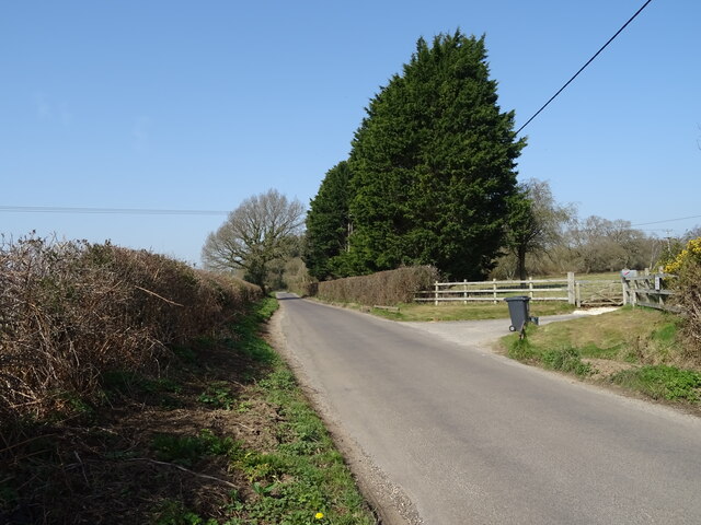
The site is easily accessible and well-preserved, allowing visitors to explore the earthworks and immerse themselves in the ancient atmosphere. Interpretive panels and signage provide informative details about the history and significance of Hundred Barrow, enhancing the visitor experience.

Hundred Barrow stands as a testament to the rich cultural and historical heritage of Dorset, inviting visitors to step back in time and connect with the ancient past.

If you have any feedback on the listing, please let us know in the comments section below.

Hundred Barrow Images

Images are sourced within 2km of 50.74/-2.22 or Grid Reference SY8493. Thanks to Geograph Open Source API. All images are credited.

Subble field
Subble field
Minor road towards Lane End
Field and hedgerow, Chapel Cross
Chapel Cross
Chapel Cross
Grazing, Lane End
Grazing, Lane End
Minor road towards Yearlings Farm
Fingerpost, Yearlings' Bottom
Track (bridleway) towards Hollow Oak
Minor road towards Bere Regis
Field entrance, Mintern's Ferry
Lane towards Turners Puddle
Grazing towards Brockhill Coppice
Minor road, Brockhill
Field entrance and footpath, Brockhill
Grazing and hedgerow near Brockhill
A35 near Shitterton
A35 near Shitterton
Toll Gate Cottage, Bere Regis A former Toll House at 72 West Street, on the corner of Butt Lane. Used by the Wimborne and Piddletown Turnpike Trust, up to the mid 19ᵗʰ C.

Milestone Society National ID: DO.BER
Toll Gate Cottage, Bere Regis
A former Toll House at 72 West Street, on the corner of Butt Lane. Used by the Wimborne and Piddletown Turnpike Trust, up to the mid 19ᵗʰ C. Milestone Society National ID: DO.BER
Road junction on A35 east of Bere Regis The minor side road and A35 both have long straight stretches on each side of this junction.  They meet at a sharp acute angle, so for safety the junction has been altered to be staggered with the roads square to each other.  The former route is on the right, above the traffic bollard
Road junction on A35 east of Bere Regis
The minor side road and A35 both have long straight stretches on each side of this junction. They meet at a sharp acute angle, so for safety the junction has been altered to be staggered with the roads square to each other. The former route is on the right, above the traffic bollard
Show me another place!

Hundred Barrow is located at Grid Ref: SY8493 (Lat: 50.74, Lng: -2.22)

Unitary Authority: Dorset

Police Authority: Dorset

What 3 Words

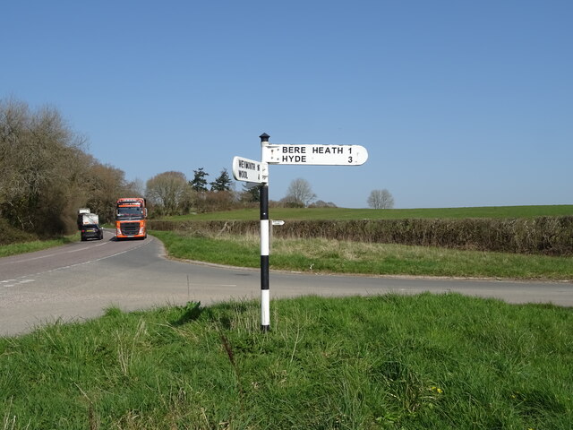
///crown.limiting.newlywed. Near Bere Regis, Dorset

Related Wikis

Turners Puddle

Turners Puddle is a village and former civil parish, now in the parish of Affpuddle and Turnerspuddle, in the Dorset district, in the ceremonial county...

Black Hill Heath

Black Hill Heath (grid reference SY835943) is a 69.67 hectare biological Site of Special Scientific Interest in Dorset, notified in 1989. == Sources... ==

Bere Regis

Bere Regis () is a village and civil parish in Dorset, England, situated 6 miles (9.7 km) north-west of Wareham. In the 2011 census the civil parish had...

Bere Stream

Bere Stream (grid reference SY860926) is an 11.2 hectare biological Site of Special Scientific Interest in Dorset, notified in 1977. == Sources == English...
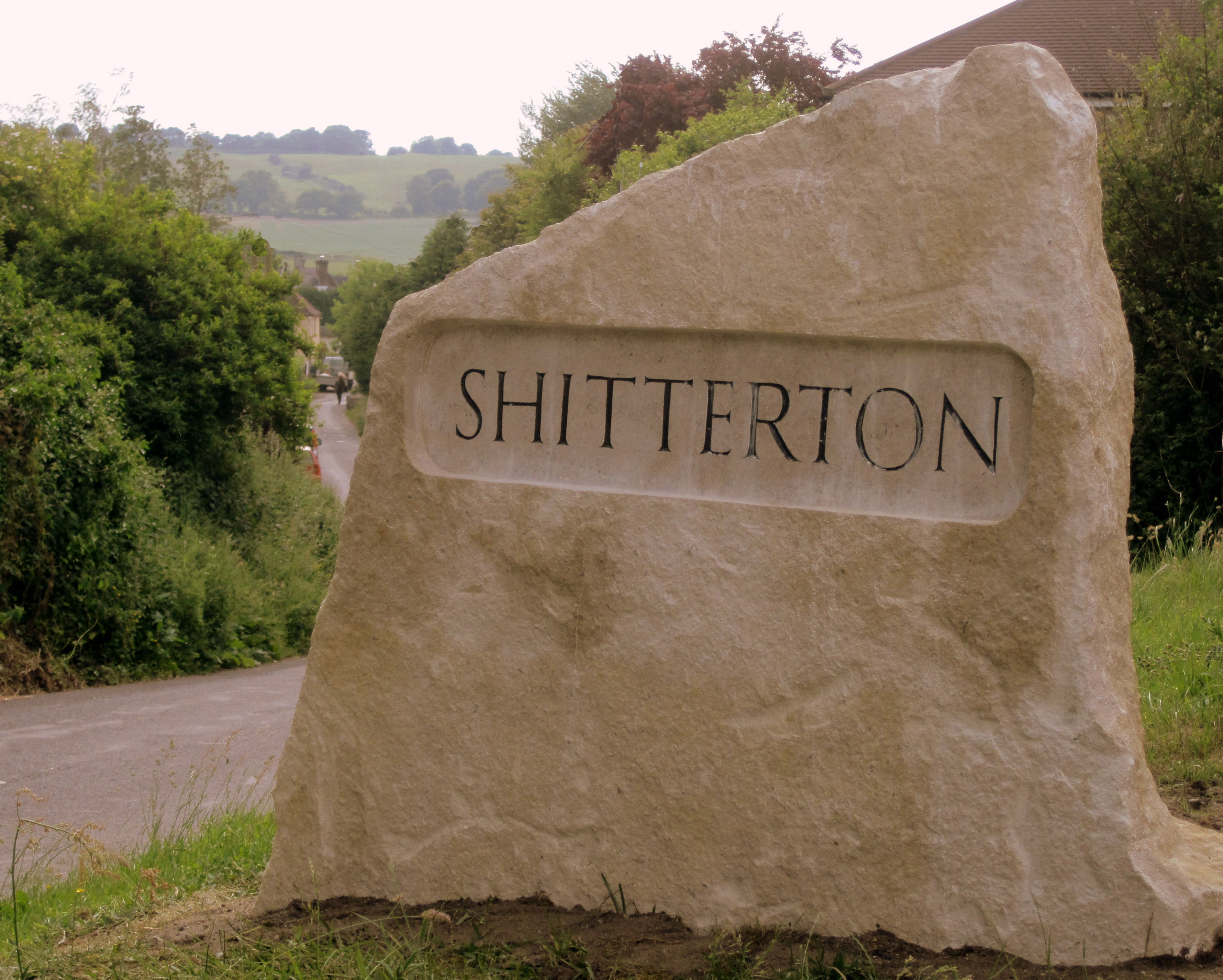
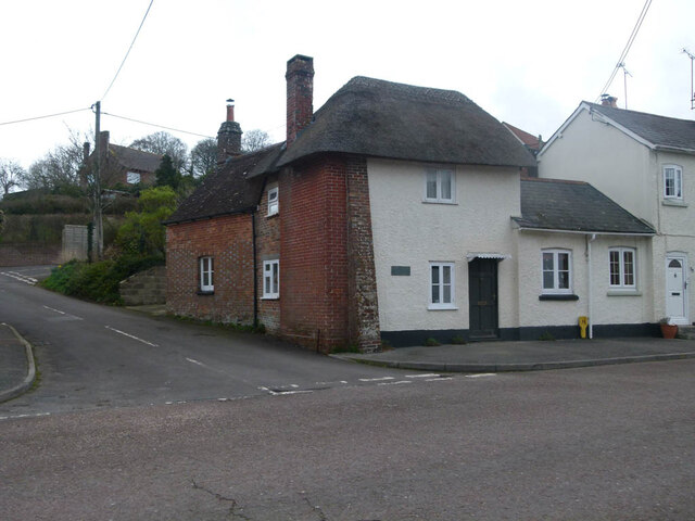
Shitterton

Shitterton is a hamlet in Bere Regis Dorset, England. It includes a collection of historic thatched buildings dating back to the 18th century and earlier...

Woodbury Hill, Dorset

Woodbury Hill is a hill near Bere Regis in Dorset, England. It is the site of an Iron Age hillfort (a scheduled monument), and the location of an annual...

Briantspuddle

Briantspuddle is a small village in the Piddle Valley in Dorset, England, near the villages of Affpuddle and Tolpuddle and about 8 miles (13 km) east of...

Cull-Peppers Dish

Cull-Peppers Dish (grid reference SY814926) is a 0.9-hectare (2.2-acre) geological Site of Special Scientific Interest in Dorset, notified in 1989. �...

Nearby Amenities

Located within 500m of 50.74,-2.22
Rowlands Wait Touring Park
Source: ACSI
Tourism: camp_site
Lat/Long: 50.7437066/-2.2239699
Material: wood
Power: pole
Source: bing
Lat/Long: 50.7363173/-2.2183364
Material: wood
Power: pole
Source: bing
Lat/Long: 50.7377013/-2.218955
Antenna: yes
Material: wood
Note: Has switch and recloser on same pole
Power: pole
Source: survey
Switch: circuit_breaker;mechanical
Lat/Long: 50.7385226/-2.218251
Material: wood
Power: pole
Source: bing
Lat/Long: 50.7393477/-2.217551
Material: wood
Power: pole
Source: bing
Lat/Long: 50.7400277/-2.2179971
Material: wood
Power: pole
Source: bing
Lat/Long: 50.7400464/-2.216018
Material: wood
Power: pole
Source: bing
Lat/Long: 50.7411182/-2.2212359
Material: wood
Power: pole
Source: bing
Lat/Long: 50.7422616/-2.222014
Material: wood
Power: pole
Source: bing
Lat/Long: 50.7430987/-2.223431
Material: wood
Power: pole
Source: bing
Lat/Long: 50.7433263/-2.2237805
Material: wood
Power: pole
Source: bing;survey
Lat/Long: 50.7380116/-2.2255053
Power: pole
Lat/Long: 50.7376662/-2.2248885
Power: pole
Lat/Long: 50.737123/-2.2239119
Power: pole
Lat/Long: 50.7365883/-2.2228372
Power: pole
Lat/Long: 50.7361776/-2.2220431
Material: wood
Power: pole
Source: bing
Lat/Long: 50.7408284/-2.2143932
Material: wood
Power: pole
Source: bing
Transformer: distribution
Lat/Long: 50.7411811/-2.213572
Man Made: antenna
Material: metal
Operator: Wessex Water
Lat/Long: 50.7418579/-2.2210515
Yearling's Drove Rye Hill
Power: pole
Ref: 57301169
Source: survey
Transformer: distribution
Voltage Primary: 11000
Voltage Secondary: 400
Voltage Tertiary: 230
Lat/Long: 50.7418394/-2.2217019
Power: pole
Source: bing
Lat/Long: 50.738925/-2.2197291
Power: pole
Source: bing
Lat/Long: 50.7400742/-2.2204882
Location Transition: yes
Man Made: utility_pole
Material: wood
Operator: BT OpenReach
Ref: DP 20
Source: survey
Utility: telecom
Lat/Long: 50.7416943/-2.221891
Man Made: utility_pole
Material: wood
Operator: BT OpenReach
Source: bing
Utility: telecom
Lat/Long: 50.741354/-2.2223389
Man Made: utility_pole
Material: wood
Operator: BT OpenReach
Source: bing
Utility: telecom
Lat/Long: 50.740967/-2.2228351
Man Made: utility_pole
Material: wood
Operator: BT OpenReach
Source: survey
Utility: telecom
Lat/Long: 50.7395946/-2.2218977
Man Made: utility_pole
Material: wood
Operator: BT OpenReach
Source: survey
Utility: telecom
Lat/Long: 50.7399494/-2.222406
Man Made: utility_pole
Material: wood
Operator: BT OpenReach
Source: survey
Utility: telecom
Lat/Long: 50.7402626/-2.2228552
Man Made: utility_pole
Material: wood
Operator: BT OpenReach
Source: survey
Utility: telecom
Lat/Long: 50.7405723/-2.2233193
Man Made: utility_pole
Material: wood
Operator: BT OpenReach
Ref: DP 199
Source: survey
Utility: telecom
Lat/Long: 50.7382299/-2.2262476
Give Way
Lat/Long: 50.7424258/-2.2206279
Give Way
Lat/Long: 50.7381875/-2.2264089
Give Way
Lat/Long: 50.7398357/-2.2192781
The data included in this document is from www.openstreetmap.org. The data is made available under ODbL.

Have you been to Hundred Barrow?

Leave your review of Hundred Barrow below (or comments, questions and feedback).