Hollow Oak
Settlement in Dorset
England
Hollow Oak
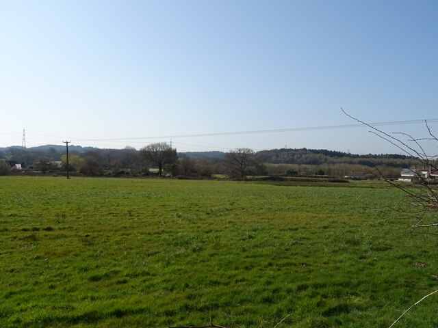
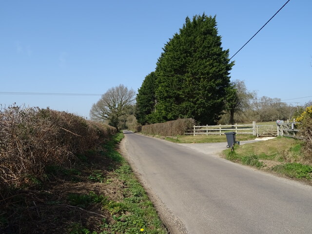
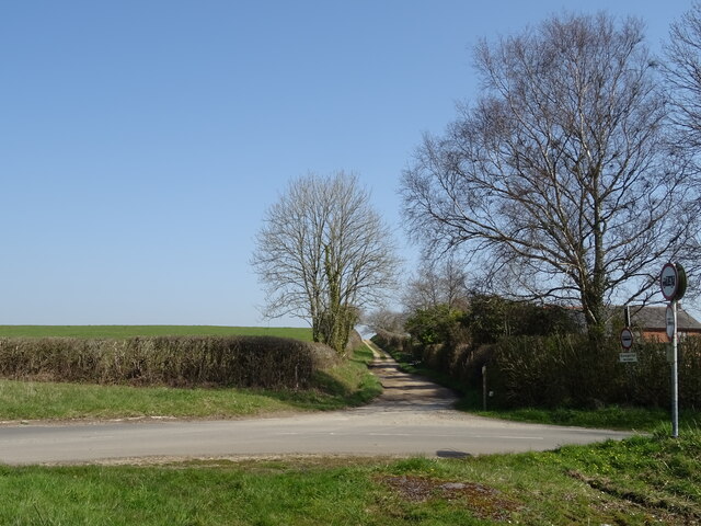
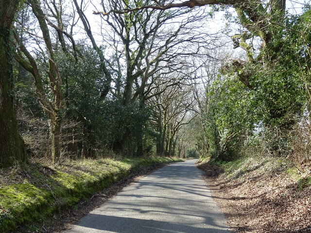
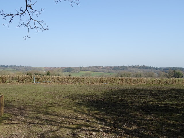
Hollow Oak is a small village located in the county of Dorset, England. Situated amidst picturesque countryside, it is known for its tranquil atmosphere and natural beauty. The village is nestled in a valley, surrounded by rolling hills and lush greenery, providing a peaceful and idyllic setting.
With a population of around 500 residents, Hollow Oak epitomizes the charm of a traditional English village. The architecture predominantly consists of quaint cottages made from local stone, showcasing the area's rich history and heritage. The village is adorned with a scattering of beautifully maintained gardens, adding color and vibrancy to the surroundings.
Despite its small size, Hollow Oak offers a range of amenities for its residents and visitors. The village boasts a local pub, The Oak Inn, which serves as a focal point for social gatherings and offers traditional British cuisine. Additionally, there is a village shop, providing essential groceries and supplies.
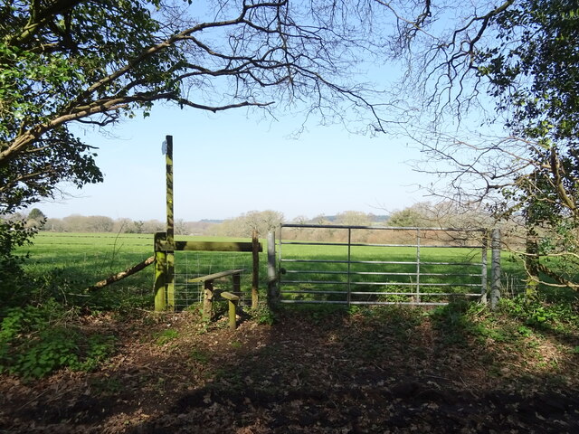
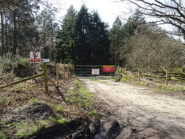
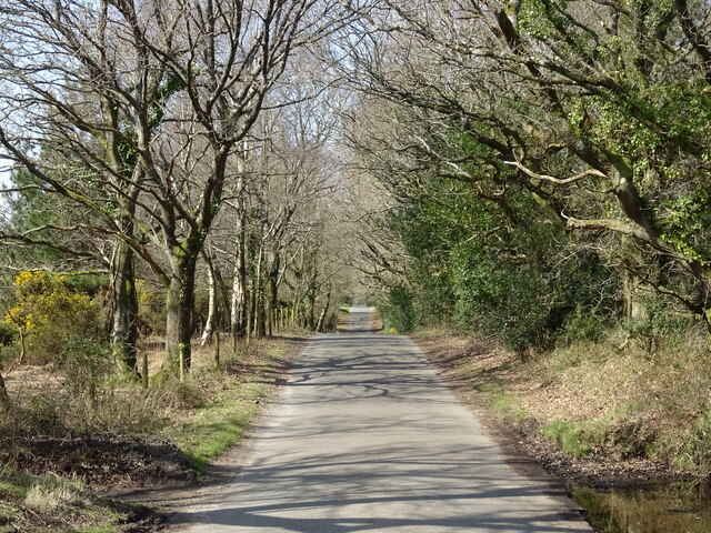
For outdoor enthusiasts, Hollow Oak offers numerous opportunities to explore nature. The village is surrounded by scenic walking trails and cycle routes, allowing visitors to immerse themselves in the stunning countryside. Notably, the nearby Hollow Oak Forest is a popular destination for nature lovers, featuring a variety of wildlife and flora.
Hollow Oak is also conveniently located near other attractions in Dorset. The historic market town of Dorchester is just a short drive away, offering further amenities and cultural experiences. Additionally, the stunning Jurassic Coast, a UNESCO World Heritage Site, is within easy reach, allowing visitors to enjoy breathtaking coastal landscapes and fossil hunting.
In summary, Hollow Oak is a charming village in Dorset that showcases the best of rural England. With its peaceful ambiance and natural beauty, it offers a delightful escape for those seeking a slower pace of life and a connection with nature.
If you have any feedback on the listing, please let us know in the comments section below.
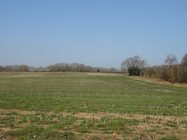
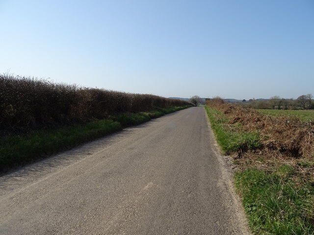
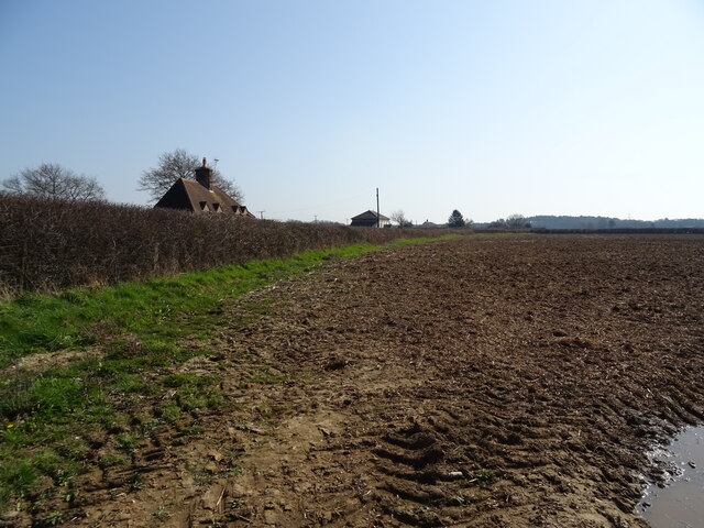
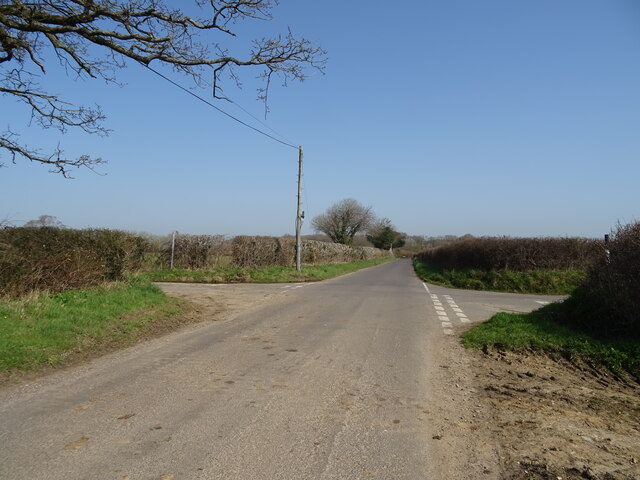
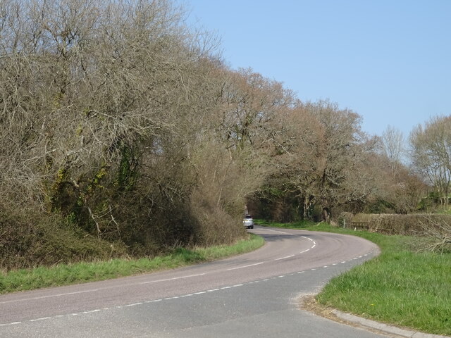
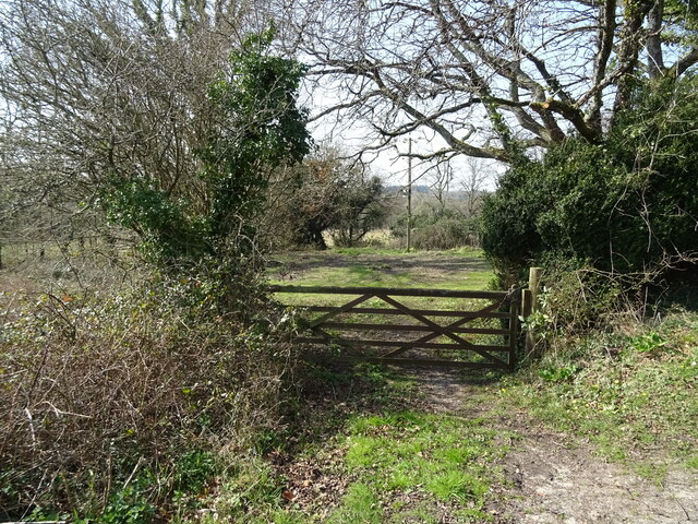
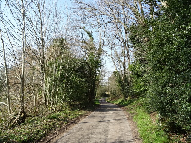
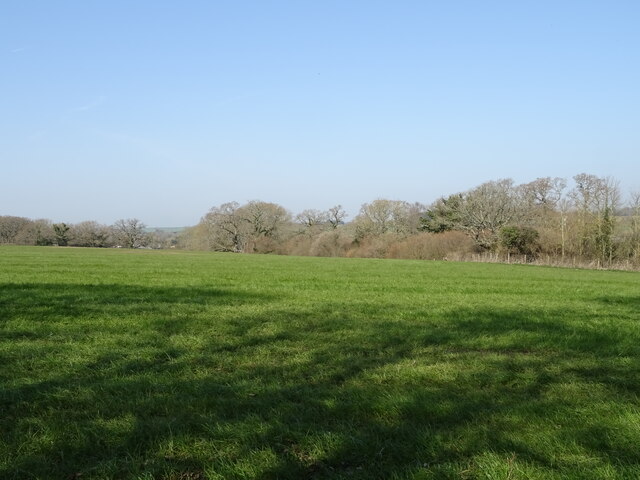
Hollow Oak Images
Images are sourced within 2km of 50.736389/-2.2280951 or Grid Reference SY8493. Thanks to Geograph Open Source API. All images are credited.

Hollow Oak is located at Grid Ref: SY8493 (Lat: 50.736389, Lng: -2.2280951)
Unitary Authority: Dorset
Police Authority: Dorset
What 3 Words
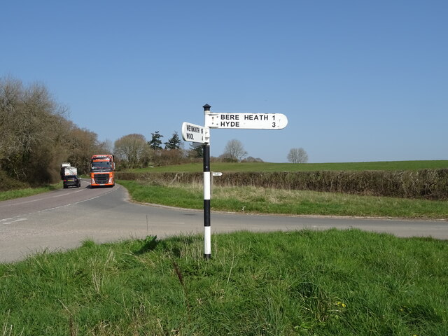
///imperious.finer.parrot. Near Bere Regis, Dorset
Nearby Locations
Related Wikis

Turners Puddle
Turners Puddle is a village and former civil parish, now in the parish of Affpuddle and Turnerspuddle, in the Dorset district, in the ceremonial county...

Black Hill Heath
Black Hill Heath (grid reference SY835943) is a 69.67 hectare biological Site of Special Scientific Interest in Dorset, notified in 1989. == Sources... ==

Bere Regis
Bere Regis () is a village and civil parish in Dorset, England, situated 6 miles (9.7 km) north-west of Wareham. In the 2011 census the civil parish had...
Bere Stream
Bere Stream (grid reference SY860926) is an 11.2 hectare biological Site of Special Scientific Interest in Dorset, notified in 1977. == Sources == English...
Nearby Amenities
Located within 500m of 50.736389,-2.2280951Have you been to Hollow Oak?
Leave your review of Hollow Oak below (or comments, questions and feedback).