Hollow Street

Settlement in Kent Canterbury

England

Hollow Street

Drainage channel
Drainage channel Credit: N Chadwick

Hollow Street is a charming and picturesque village located in the county of Kent, England. Situated on the outskirts of the historic city of Canterbury, this quaint village offers a serene and peaceful escape from the bustling city life.

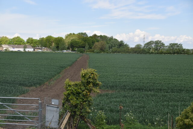
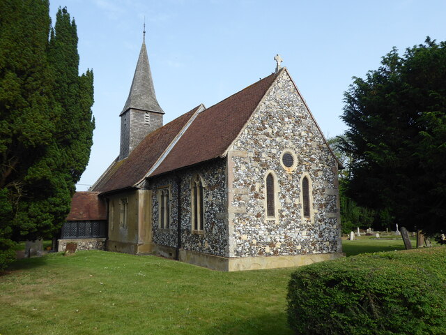
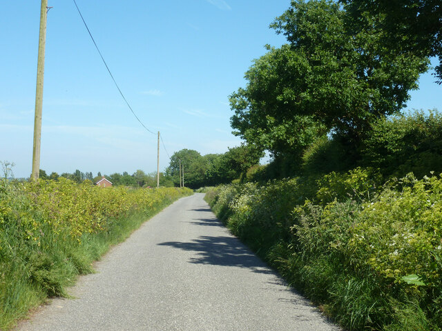
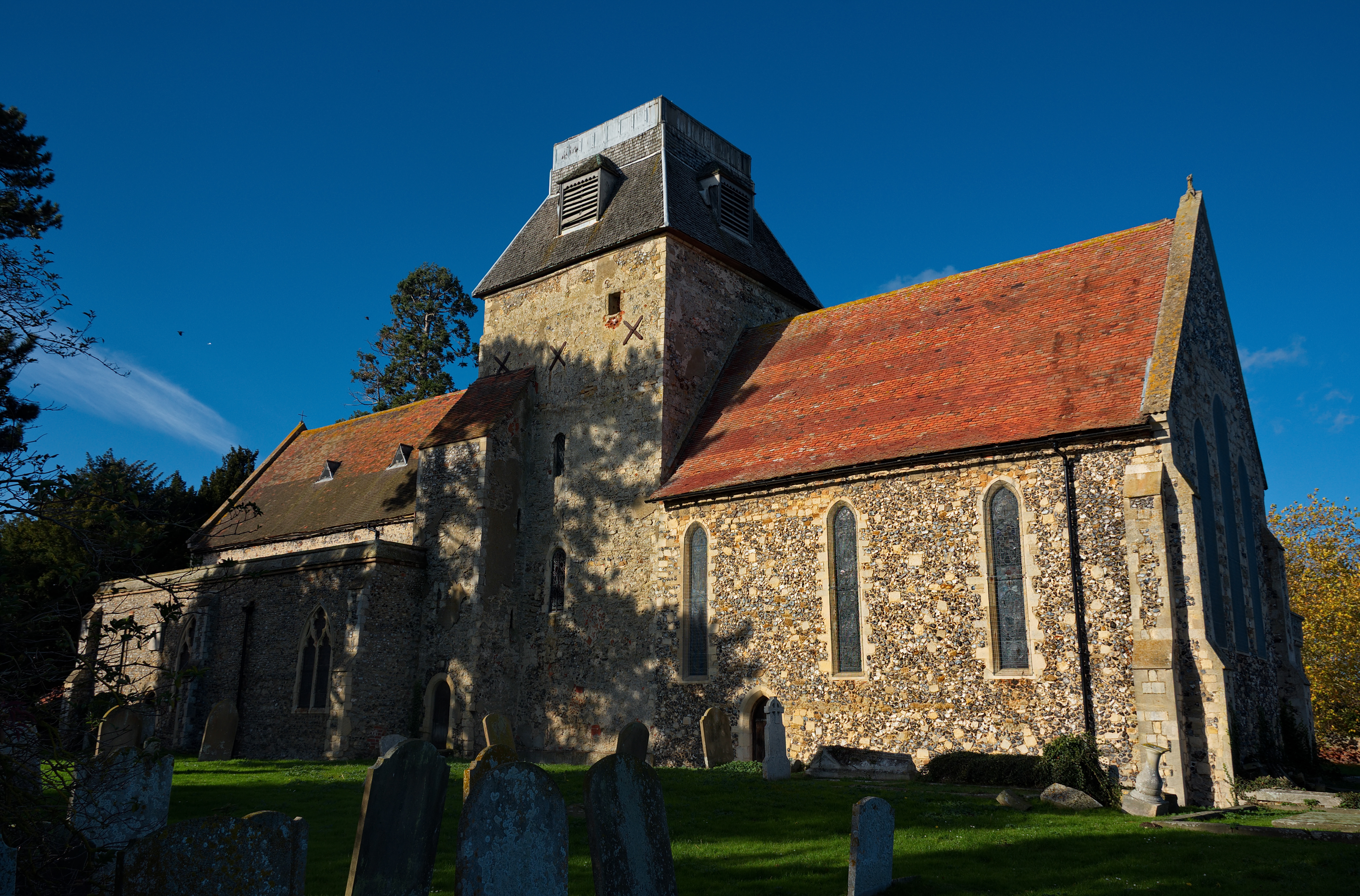
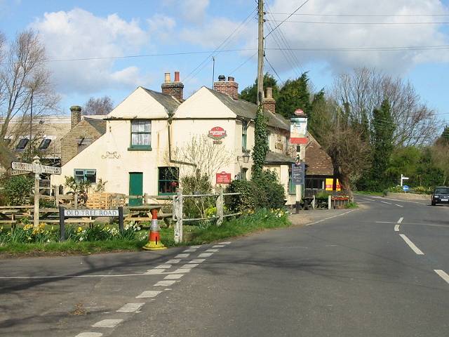
The narrow, winding streets of Hollow Street are lined with a variety of traditional, well-preserved cottages, giving the area a distinct and timeless feel. The village is known for its beautiful architecture, with many of the buildings dating back several centuries. The well-maintained gardens and vibrant flower displays further enhance the visual appeal of this idyllic village.

Hollow Street is also renowned for its sense of community and friendly atmosphere. The locals take great pride in their village and actively participate in various events and activities organized throughout the year. The village hall serves as a hub for social gatherings, including fairs, concerts, and other community events that bring residents and visitors together.

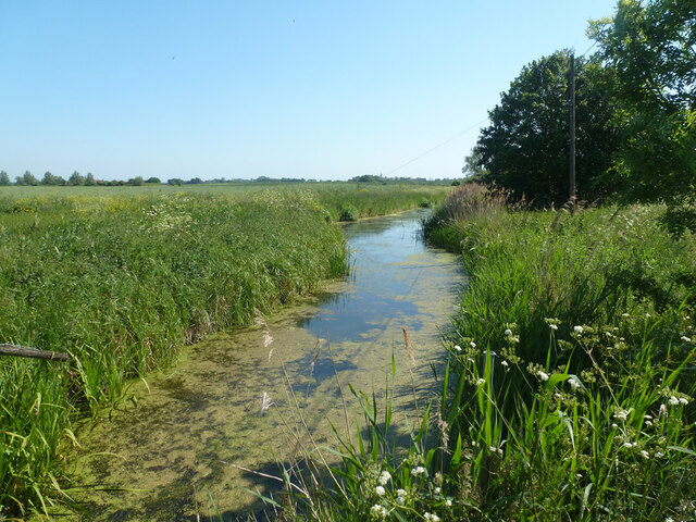
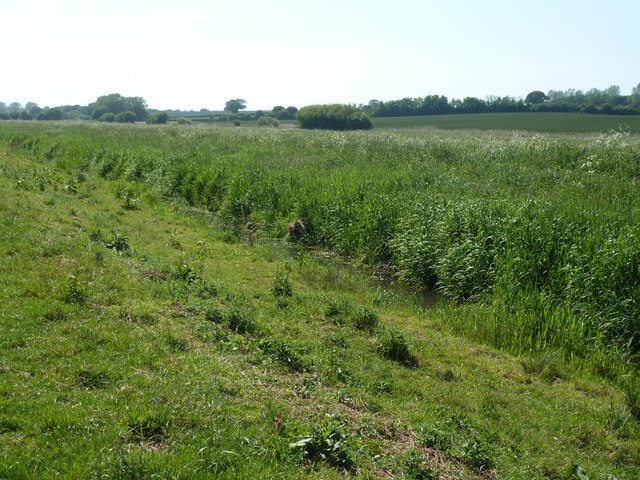
Nature enthusiasts will appreciate Hollow Street's close proximity to the stunning Kent Downs, an Area of Outstanding Natural Beauty. The rolling hills, meandering footpaths, and panoramic views make it an ideal location for hiking, cycling, and exploring the great outdoors.

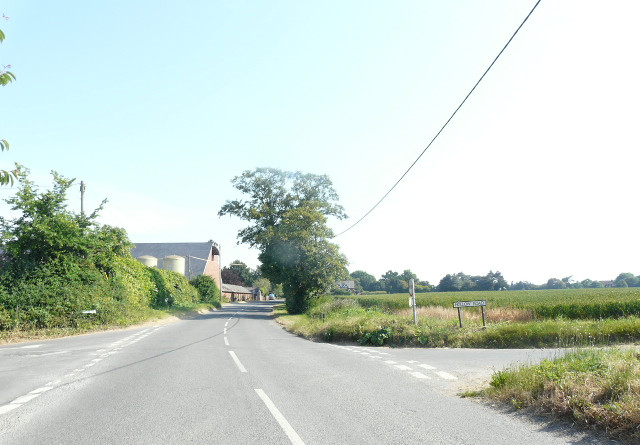
Despite its serene and rural setting, Hollow Street benefits from easy access to amenities and transport links. The nearby city of Canterbury offers a wide range of shops, restaurants, and cultural attractions, while excellent road and rail connections provide convenient access to other parts of Kent and beyond.

In summary, Hollow Street is a delightful village that seamlessly combines natural beauty, historic charm, and a strong sense of community, making it an appealing destination for both residents and visitors seeking a tranquil and picturesque slice of English countryside.

If you have any feedback on the listing, please let us know in the comments section below.

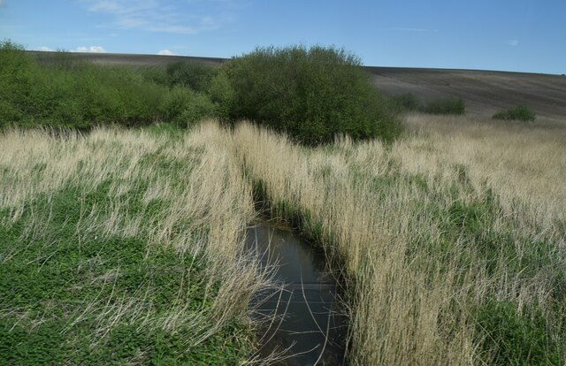
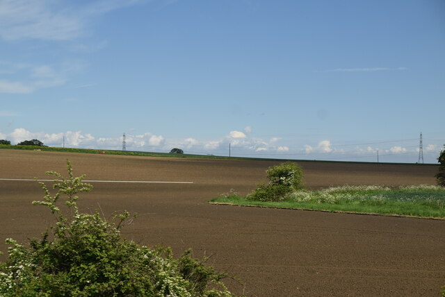
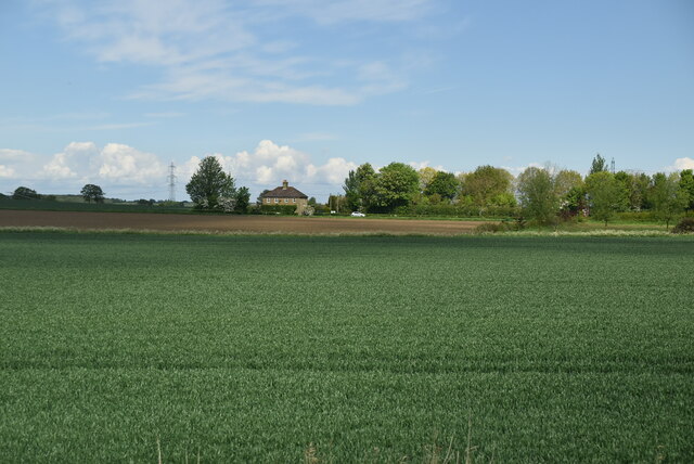
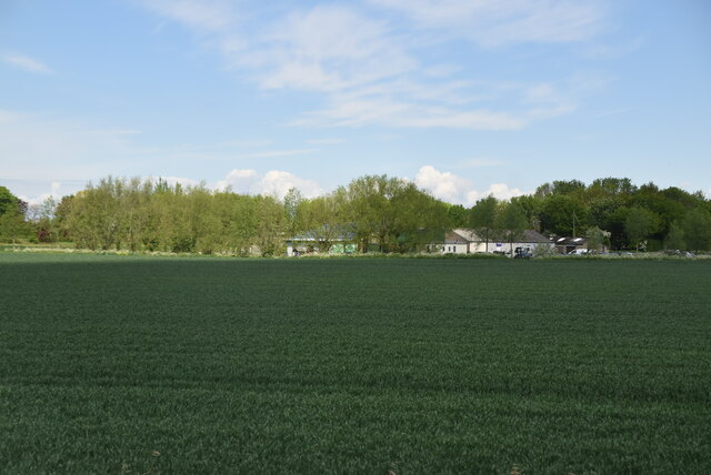
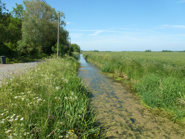
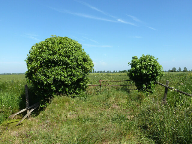
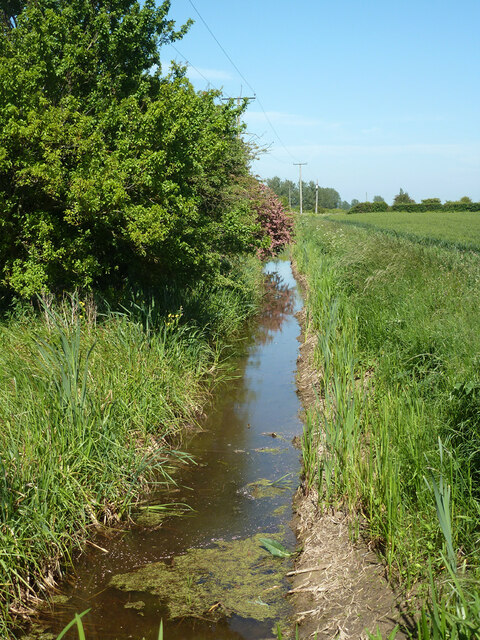
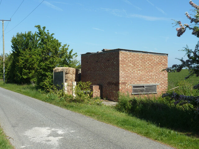
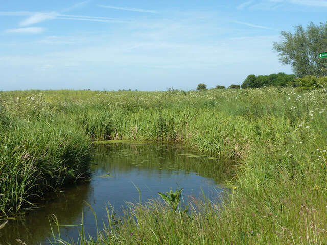
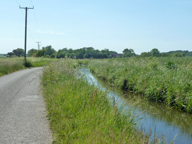
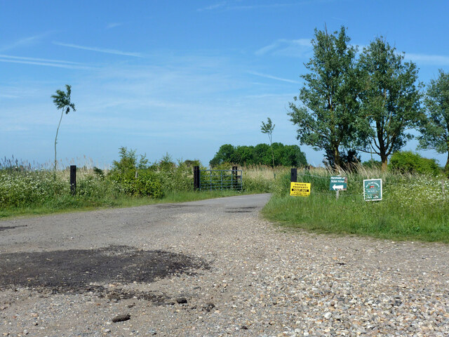
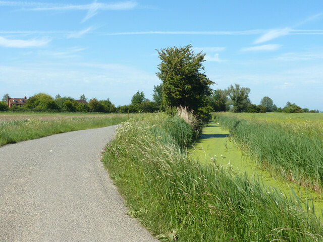
Hollow Street Images

Images are sourced within 2km of 51.332008/1.189794 or Grid Reference TR2264. Thanks to Geograph Open Source API. All images are credited.

Drainage channel
Drainage channel
Farmland in Stour Valley
Arable fields
Arable fields
Wall End Farm
Wall End Farm
Footpath crossing field
Hoath, Holy Cross
Hoath, Holy Cross
Chislet Court Farm Viewed from Church Lane near to the junction with Hollow Road.
Chislet Court Farm
Viewed from Church Lane near to the junction with Hollow Road.
North Stream, Marshside Looking upstream, with little flow in June.
North Stream, Marshside
Looking upstream, with little flow in June.
North Stream, Marshside Looking downstream, with little flow in June.
North Stream, Marshside
Looking downstream, with little flow in June.
Bridge over North Stream, Marshside Apparently disused for field access.
Bridge over North Stream, Marshside
Apparently disused for field access.
Drain by Chitty Lane The lane is to the left.
Drain by Chitty Lane
The lane is to the left.
Pump house by Chitty Lane Later demolished.  There is a pipe passing under the lane to the drain on the other side.  It looks a bit home-made, not a drainage authority feature.  It was replaced by a modern trailed irrigation pump.
Pump house by Chitty Lane
Later demolished. There is a pipe passing under the lane to the drain on the other side. It looks a bit home-made, not a drainage authority feature. It was replaced by a modern trailed irrigation pump.
Drain by Chitty Lane
Start of Tipper Drove A private road off Chitty Lane, the way to Marshside Fishery.
Start of Tipper Drove
A private road off Chitty Lane, the way to Marshside Fishery.
Drain by Chitty Lane
Chitty Lane, Chislet Towards Chitty.
Chitty Lane, Chislet
Towards Chitty.
Nethergong Penn A rather overgrown but important drainage channel.
Nethergong Penn
A rather overgrown but important drainage channel.
Show me another place!

Hollow Street is located at Grid Ref: TR2264 (Lat: 51.332008, Lng: 1.189794)

Administrative County: Kent

District: Canterbury

Police Authority: Kent

What 3 Words

///expecting.cabin.varieties. Near Sturry, Kent

Related Wikis

Chislet

Chislet is an English village and civil parish in northeast Kent between Canterbury and the Isle of Thanet. The parish is the second largest in the district...

Upstreet

Upstreet is a village in the civil parish of Chislet in Kent, England. It is in the local government district of Canterbury, and the electoral ward of...

Grove Ferry and Upstreet railway station

Grove Ferry and Upstreet was a railway station in east Kent. It was opened by South Eastern Railway (SER), on the Ashford to Ramsgate (via Canterbury West...

Boyden Gate

Boyden Gate is a village in the civil parish of Chislet in Kent, England. == External links == Media related to Boyden Gate at Wikimedia Commons

Nearby Amenities

Located within 500m of 51.332008,1.189794
Chislet
Is In: Kent,England,UK
Place: hamlet
Lat/Long: 51.3343213/1.1915536
Post Box
Collection Times: Mo-Fr 09:00; Sa 07:00
Image: https://www.bing.com/maps?osid=75bbdfce-9b24-4af3-b57b-8f3e10632bba&cp=51.334206~1.19145&lvl=19&dir=248.57794&pi=-2.5142024&style=x&mo=z.0&v=2&sV=2&form=S00027
Operator: Royal Mail
Operator Wikidata: Q638098
Post Box Mounting: metal_post
Post Box Type: lamp
Postal Code: CT3
Ref: CT3 172
Royal Cypher: EIIR
Royal Cypher Wikidata: Q33102113
Source: survey
Lat/Long: 51.3341239/1.1913428
Church
Disused Highway: bus_stop
Disused Public Transport: platform
Flag: no
Naptan AtcoCode: 2400A070740A
Naptan Bearing: N
Naptan BusStopType: CUS
Naptan CommonName: Church
Naptan Indicator: opp
Naptan Landmark: Church
Naptan NaptanCode: kntgdjmg
Naptan RevisionNumber: 4
Naptan Status: del
Naptan Street: Church Lane
Naptan Verified: no
Source: naptan_import
Source Date: 2016-04-29
Lat/Long: 51.3338175/1.1913284
Church
Disused Highway: bus_stop
Disused Public Transport: platform
Flag: no
Naptan AtcoCode: 2400A070750A
Naptan Bearing: S
Naptan BusStopType: CUS
Naptan CommonName: Church
Naptan Indicator: adj
Naptan Landmark: Church
Naptan NaptanCode: kntgdjmj
Naptan RevisionNumber: 4
Naptan Status: del
Naptan Street: Church Lane
Naptan Verified: no
Ref: kntgdjmj
Source: naptan_import
Source Date: 2016-04-29
Lat/Long: 51.3337583/1.1915183
SH FID 26
Power: tower
Lat/Long: 51.329279/1.1905979
SH FID 27
Power: tower
Lat/Long: 51.331349/1.1957332
Bench
Lat/Long: 51.3341452/1.1915409
Defibrillator
Booth: KX100
Covered: booth
Defibrillator Location: In disused KX100 telephone kiosk opposite church in Chislet
Disused Amenity: telephone
Emergency: defibrillator
Indoor: no
Man Made: telephone_box
Lat/Long: 51.334136/1.1913163
The data included in this document is from www.openstreetmap.org. The data is made available under ODbL.

Have you been to Hollow Street?

Leave your review of Hollow Street below (or comments, questions and feedback).