Chitty
Settlement in Kent Canterbury
England
Chitty
Chitty is a small village located in the county of Kent, in southeastern England. With a population of around 500 residents, it is a relatively quiet and close-knit community. The village sits on the edge of the North Downs, a range of chalk hills that stretch across the county.
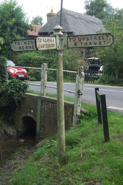
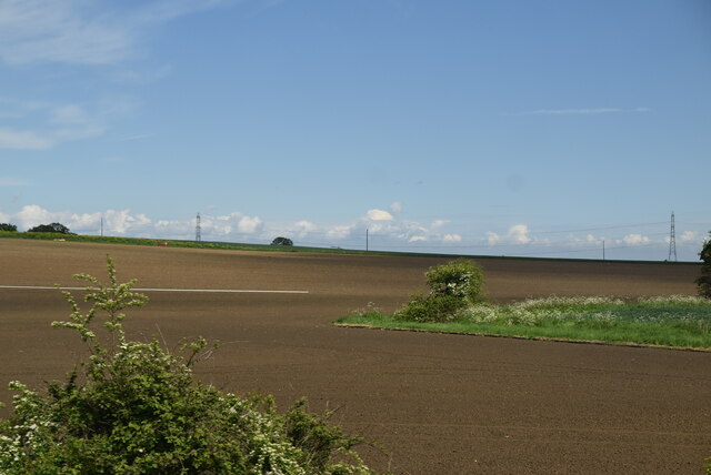
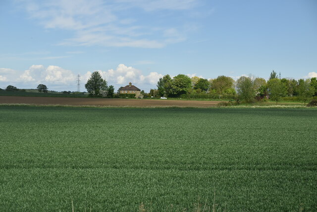
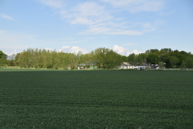
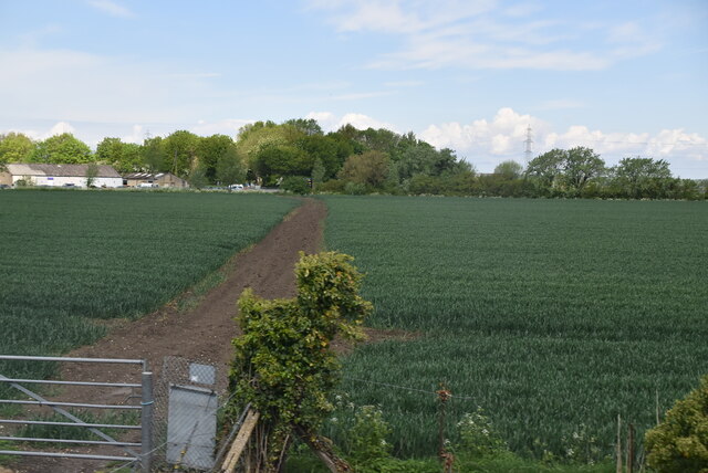
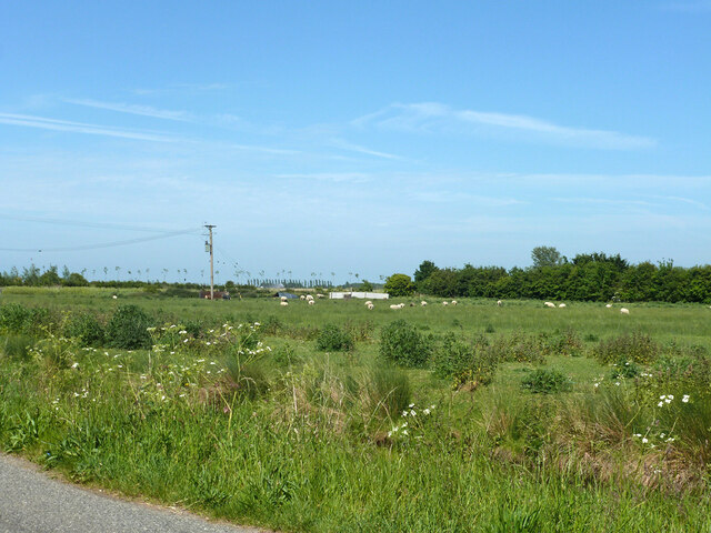
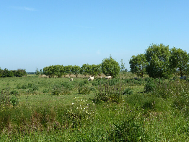
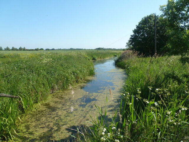
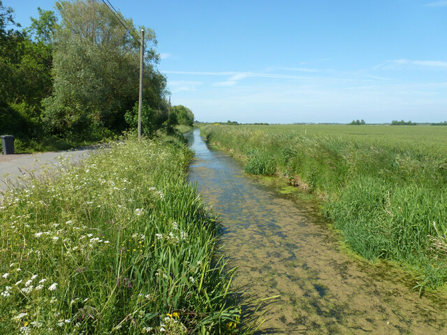
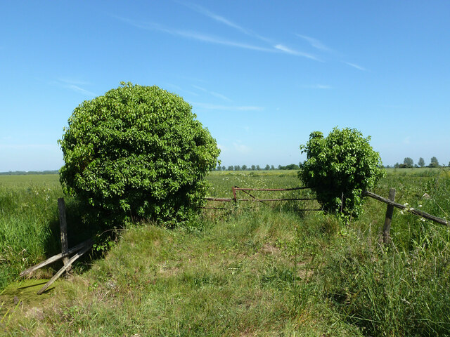
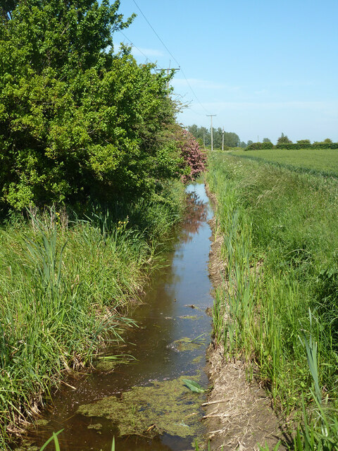
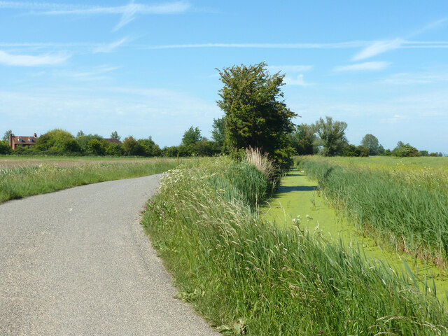
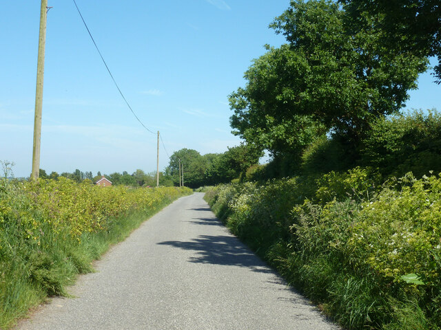
Chitty is mostly known for its picturesque countryside, with rolling hills, meadows, and woodlands surrounding the village. The landscape offers stunning views and is ideal for outdoor activities such as hiking, cycling, and horse riding. The nearby Pilgrims' Way, an ancient track used by pilgrims traveling to Canterbury, passes through the village, attracting history enthusiasts and walkers alike.
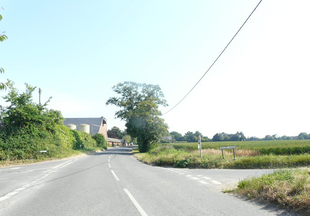
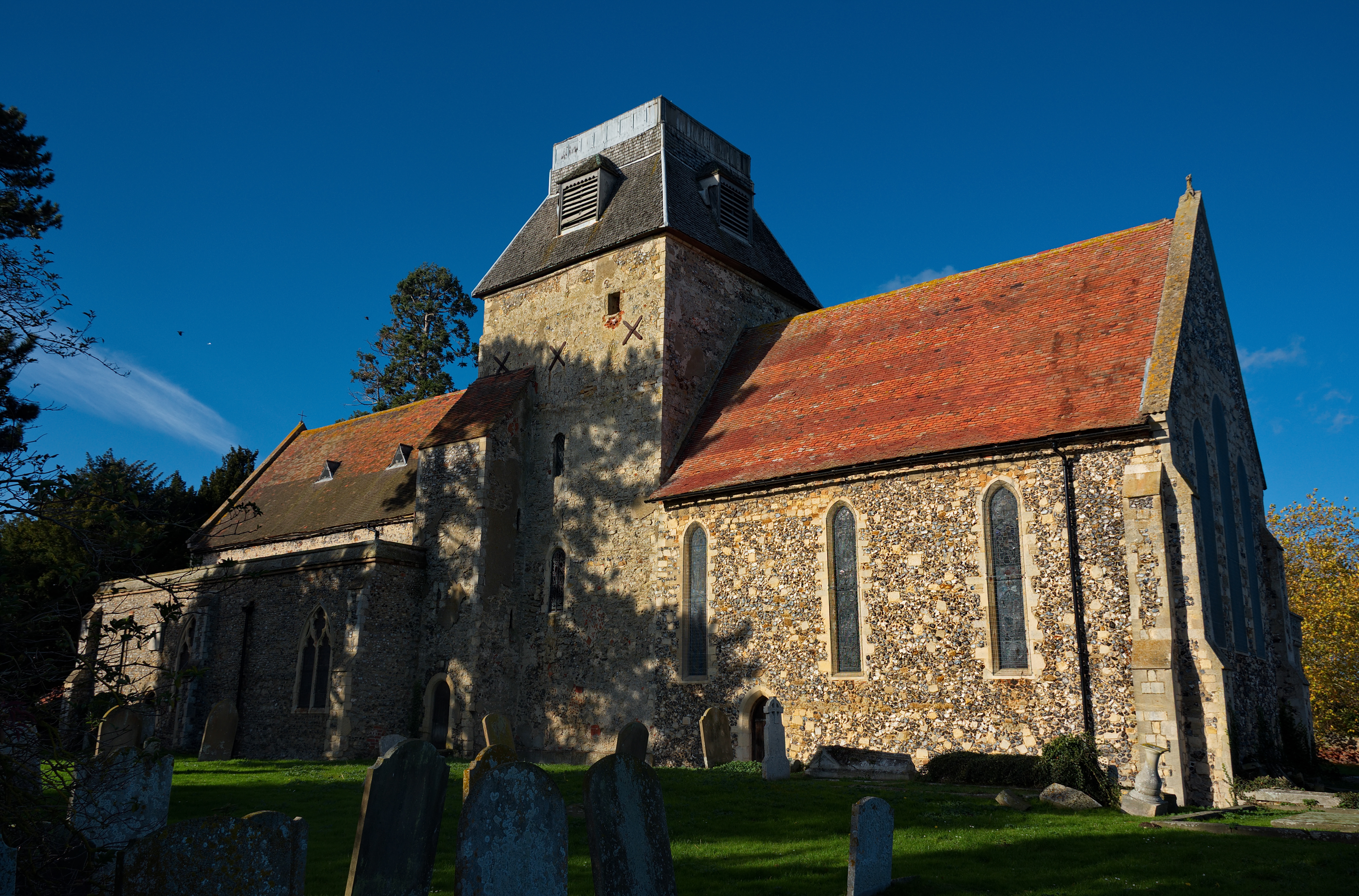
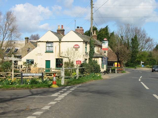
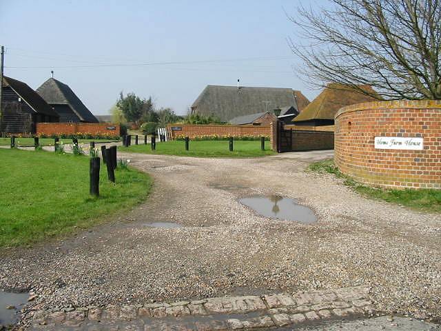
The village itself is characterized by its charming rural architecture, with many historic cottages and buildings dating back several centuries. The local community takes pride in preserving the village's heritage and maintaining its traditional character.
Despite its rural setting, Chitty is conveniently located within easy reach of larger towns and cities. The market town of Maidstone is only a short drive away, providing residents with access to a wider range of amenities, including shops, schools, and healthcare facilities.
Overall, Chitty offers a peaceful and idyllic setting for those seeking a tranquil village lifestyle, surrounded by natural beauty and a strong sense of community.
If you have any feedback on the listing, please let us know in the comments section below.
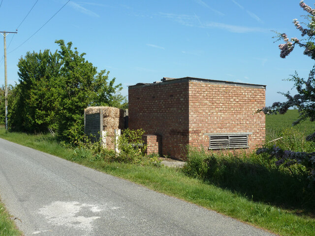
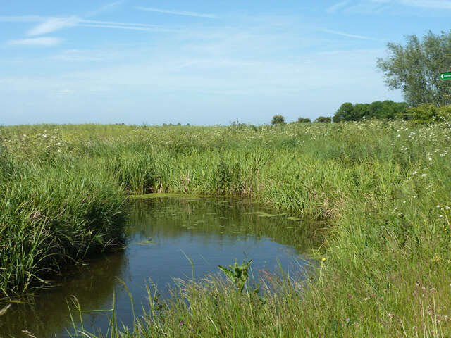
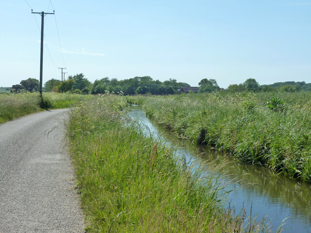
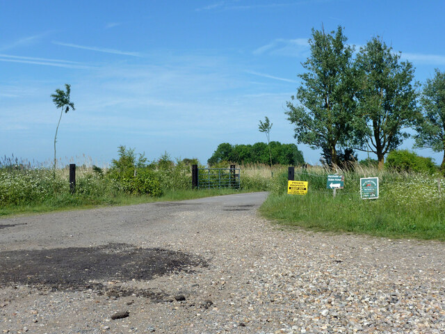
Chitty Images
Images are sourced within 2km of 51.33716/1.198768 or Grid Reference TR2264. Thanks to Geograph Open Source API. All images are credited.
Chitty is located at Grid Ref: TR2264 (Lat: 51.33716, Lng: 1.198768)
Administrative County: Kent
District: Canterbury
Police Authority: Kent
What 3 Words
///logbook.fury.storeroom. Near Herne Bay, Kent
Nearby Locations
Related Wikis
Chislet
Chislet is an English village and civil parish in northeast Kent between Canterbury and the Isle of Thanet. The parish is the second largest in the district...
Boyden Gate
Boyden Gate is a village in the civil parish of Chislet in Kent, England. == External links == Media related to Boyden Gate at Wikimedia Commons

Upstreet
Upstreet is a village in the civil parish of Chislet in Kent, England. It is in the local government district of Canterbury, and the electoral ward of...

Grove Ferry and Upstreet railway station
Grove Ferry and Upstreet was a railway station in east Kent. It was opened by South Eastern Railway (SER), on the Ashford to Ramsgate (via Canterbury West...
Marshside, Kent
Marshside is a hamlet in the county of Kent, England. It is in the parish of Chislet alongside the Chislet Marshes southeast of Herne Bay. == Governance... ==

Grove Ferry Picnic Area
The Grove Ferry Picnic Area is near Upstreet, in Kent, England, on the site of an old hand-drawn ferry that once crossed the River Stour here. The area...

Highstead
Highstead is a village near Chislet, off the A299 road, in the Canterbury District, in the English county of Kent. It is near the town of Herne Bay. Highstead...

Sarre Penn
Sarre Penn is a tributary of the River Stour in Kent, England, joining with the River Wantsum near Sarre, where it is known locally as the Fishbourne...
Nearby Amenities
Located within 500m of 51.33716,1.198768Have you been to Chitty?
Leave your review of Chitty below (or comments, questions and feedback).