Chitts Hills

Settlement in Essex Colchester

England

Chitts Hills

Houses on London Road, Stanway
Houses on London Road, Stanway Credit: David Howard

Chitts Hills is a small village located in the county of Essex, England. Situated approximately 10 miles northeast of the town of Chelmsford, it is surrounded by picturesque countryside and offers a tranquil and idyllic setting for its residents.

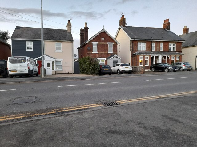
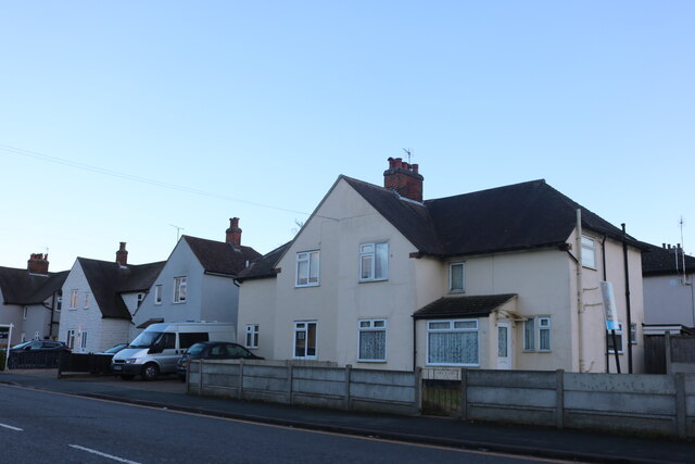
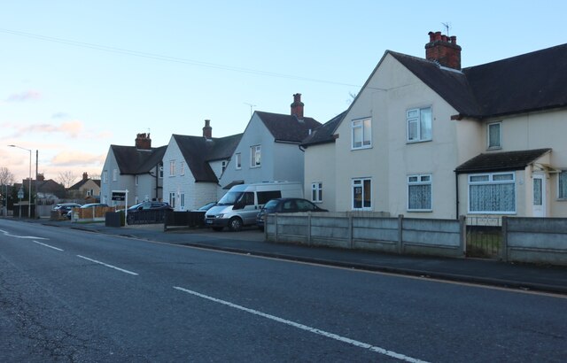
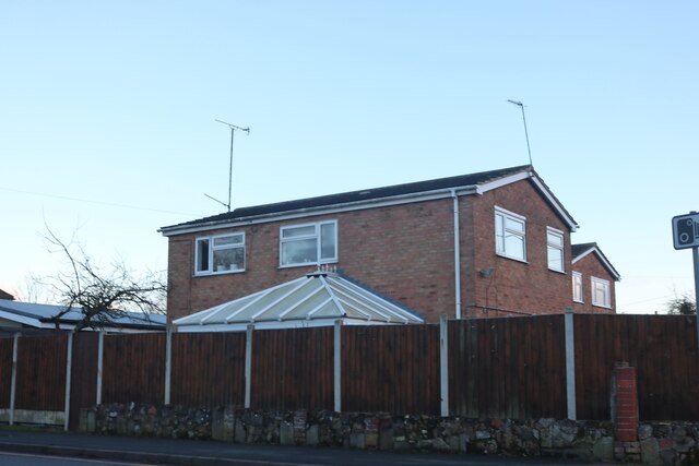
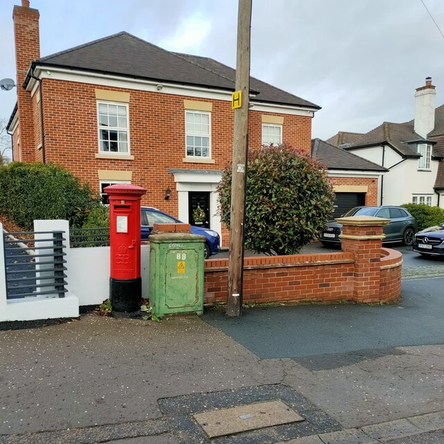
The village is known for its charming and traditional English architecture, characterized by rows of quaint cottages and historic buildings. The heart of Chitts Hills is its village square, where a local market is held every Saturday, offering a variety of fresh produce and handmade crafts.

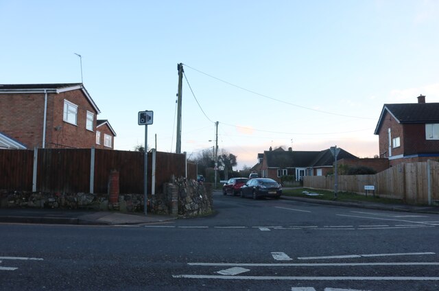
One of the key attractions of Chitts Hills is its natural beauty. The village is nestled within the rolling hills of Essex, providing breathtaking views and ample opportunities for outdoor activities. Numerous walking and cycling trails meander through the surrounding countryside, offering residents and visitors the chance to explore the area's stunning landscapes.

In terms of amenities, Chitts Hills boasts a range of facilities to cater to the needs of its residents. The village is home to a small primary school, a local convenience store, and a post office. Additionally, there are several quaint pubs and restaurants where locals and visitors can enjoy a hearty meal or a refreshing drink.

Overall, Chitts Hills offers a peaceful and picturesque escape from the hustle and bustle of city life. Its charming architecture, natural beauty, and community spirit make it an appealing place to live or visit for those seeking a slower pace of life in the heart of the Essex countryside.

If you have any feedback on the listing, please let us know in the comments section below.
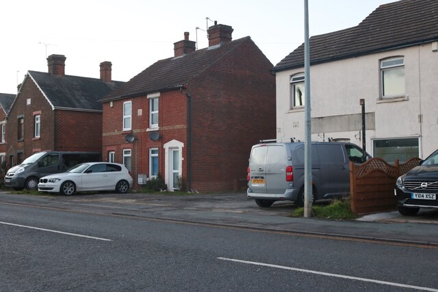
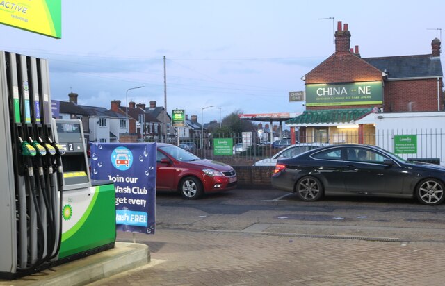
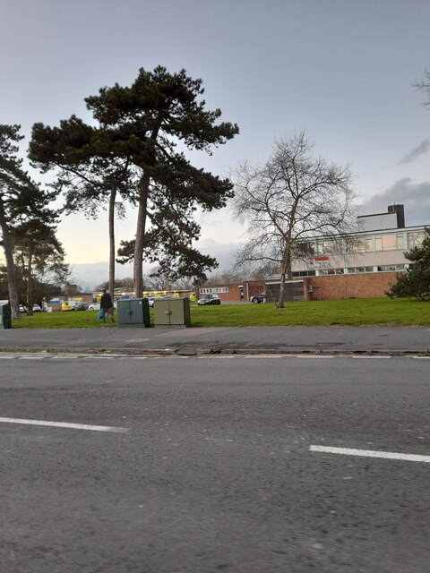
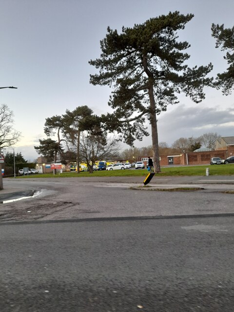
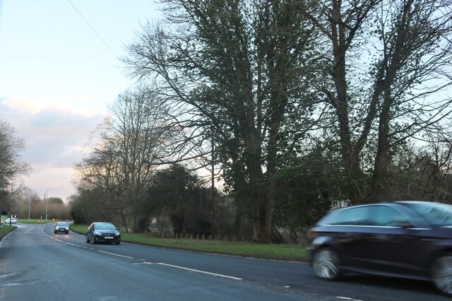
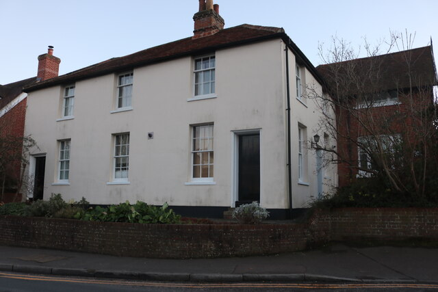
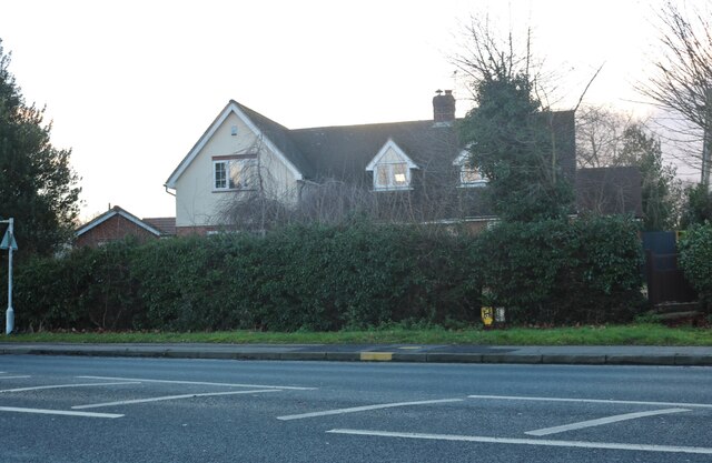
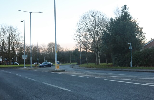
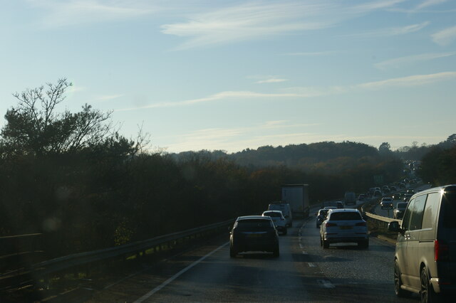
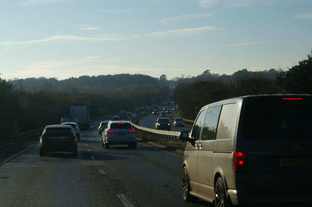
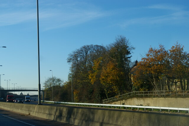
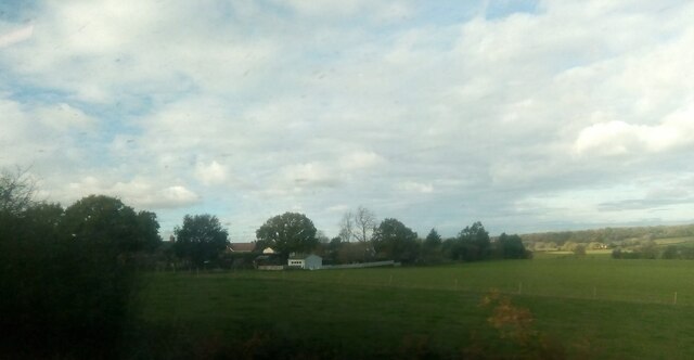
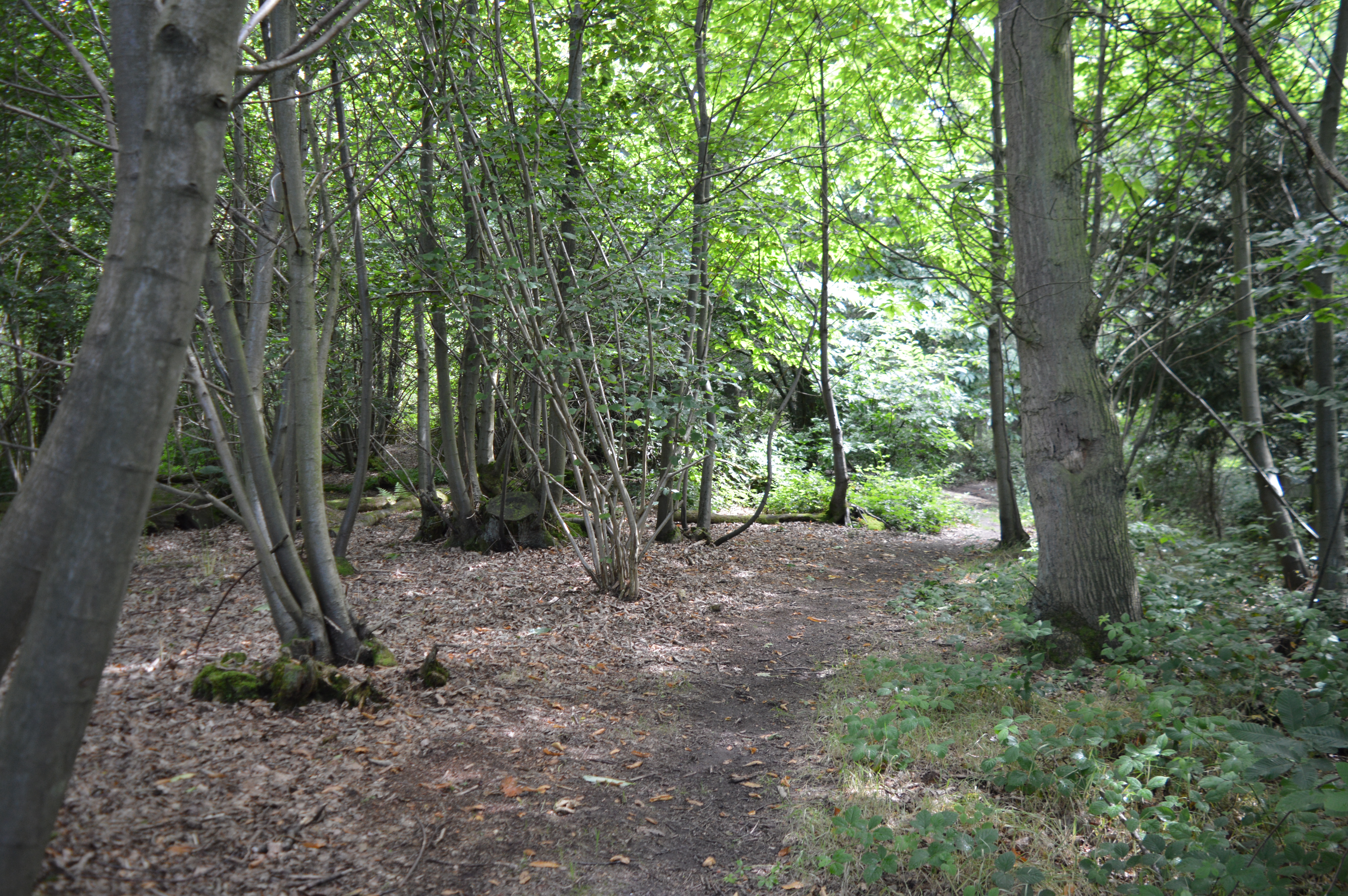
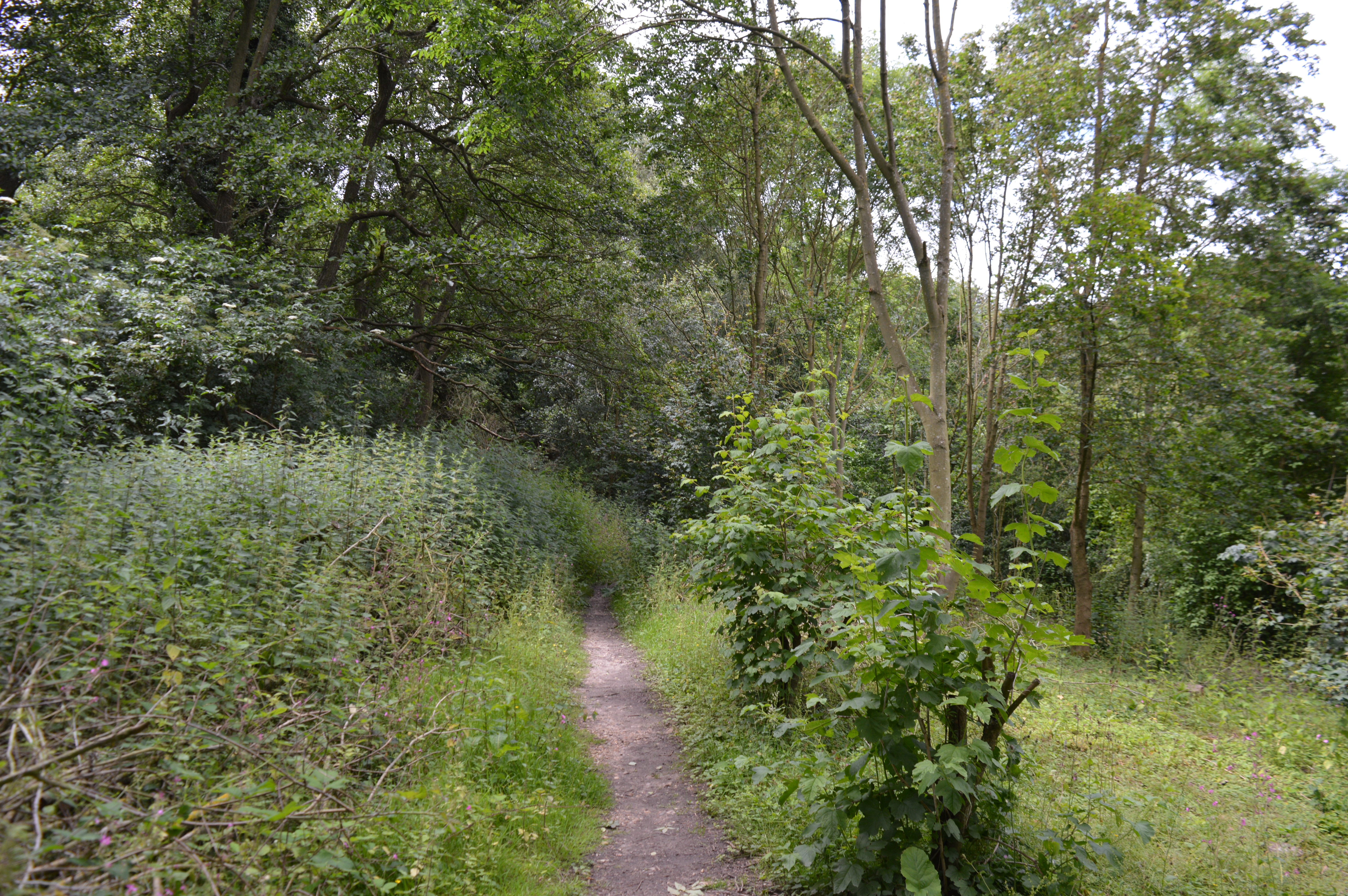
Chitts Hills Images

Images are sourced within 2km of 51.896859/0.843259 or Grid Reference TL9525. Thanks to Geograph Open Source API. All images are credited.

Houses on London Road, Stanway
Petrol station on London Road, Stanway
London Road, Lexden Looking towards the fire station
London Road, Lexden
Looking towards the fire station
London Road, Lexden Opposite the fire station ahead.
London Road, Lexden
Opposite the fire station ahead.
London Road, Stanway
London Road at the junction of Millers Lane
Houses on London Road, Lexden
London Road, Lexden
London Road, Lexden
Cymbeline Way, Colchester
Houses on London Road, Lexden
House on Halstead Road, Eight Ash Green
Roundabout on Halstead Road, Eight Ash Green
House by London Road, Stanway The front is on Millers Lane
House by London Road, Stanway
The front is on Millers Lane
Edward VIII Postbox, Glen Avenue, Colchester
A12 Colchester bypass dipping into the Colne valley The A12 is a 129 mile long trunk road from London to Great Yarmouth. It runs through Greater London, Essex, Suffolk and Norfolk. It passes by Brentwood, Colchester and Ipswich as well as passing through Lowestoft.
<span class="nowrap"><a title="http://www.sabre-roads.org.uk/wiki/index.php?title=A12" rel="nofollow ugc noopener" href="http://www.sabre-roads.org.uk/wiki/index.php?title=A12">Link</a><img style="margin-left:2px;" alt="External link" title="External link - shift click to open in new window" src="https://s1.geograph.org.uk/img/external.png" width="10" height="10"/></span> 
Wikipedia: <span class="nowrap"><a title="http://en.wikipedia.org/wiki/A12_road_(England)" rel="nofollow ugc noopener" href="http://en.wikipedia.org/wiki/A12_road_(England)">Link</a><img style="margin-left:2px;" alt="External link" title="External link - shift click to open in new window" src="https://s1.geograph.org.uk/img/external.png" width="10" height="10"/></span>
A12 Colchester bypass dipping into the Colne valley
The A12 is a 129 mile long trunk road from London to Great Yarmouth. It runs through Greater London, Essex, Suffolk and Norfolk. It passes by Brentwood, Colchester and Ipswich as well as passing through Lowestoft. LinkExternal link Wikipedia: LinkExternal link
A12 Colchester bypass The A12 is a 129 mile long trunk road from London to Great Yarmouth. It runs through Greater London, Essex, Suffolk and Norfolk. It passes by Brentwood, Colchester and Ipswich as well as passing through Lowestoft.
<span class="nowrap"><a title="http://www.sabre-roads.org.uk/wiki/index.php?title=A12" rel="nofollow ugc noopener" href="http://www.sabre-roads.org.uk/wiki/index.php?title=A12">Link</a><img style="margin-left:2px;" alt="External link" title="External link - shift click to open in new window" src="https://s1.geograph.org.uk/img/external.png" width="10" height="10"/></span> 
Wikipedia: <span class="nowrap"><a title="http://en.wikipedia.org/wiki/A12_road_(England)" rel="nofollow ugc noopener" href="http://en.wikipedia.org/wiki/A12_road_(England)">Link</a><img style="margin-left:2px;" alt="External link" title="External link - shift click to open in new window" src="https://s1.geograph.org.uk/img/external.png" width="10" height="10"/></span>
A12 Colchester bypass
The A12 is a 129 mile long trunk road from London to Great Yarmouth. It runs through Greater London, Essex, Suffolk and Norfolk. It passes by Brentwood, Colchester and Ipswich as well as passing through Lowestoft. LinkExternal link Wikipedia: LinkExternal link
Houses on Chits Hill from the railway
Show me another place!

Chitts Hills is located at Grid Ref: TL9525 (Lat: 51.896859, Lng: 0.843259)

Administrative County: Essex

District: Colchester

Police Authority: Essex

What 3 Words

///crops.jeeps.mouth. Near Eight Ash Green, Essex

Nearby Locations

Chitts Hills Beacon End

Related Wikis

Iron Latch

Iron Latch is a 4.3-hectare (11-acre) nature reserve in Eight Ash Green, west of Colchester in Essex.The site consists of areas of species-rich grassland...

Lexden Gathering Grounds

Lexden Gathering Grounds is an 8.9-hectare (22-acre) nature reserve in Lexden, a suburb of Colchester in Essex. It is owned by Anglian Water and managed...

Stanway Rovers F.C.

Stanway Rovers Football Club is a football club based in Stanway, near Colchester, in Essex, England. They are currently members of the Essex Senior League...

Eight Ash Green

Eight Ash Green is a village and civil parish in the City of Colchester district of Essex, England. It is on the A1124 road, near Junction 26 (Eight Ash...

Nearby Amenities

Located within 500m of 51.896859,0.843259
Railway: level_crossing
Lat/Long: 51.8966219/0.8449856
Railway: level_crossing
Lat/Long: 51.8966516/0.8449778
Generator Method: photovoltaic
Generator Output Electricity: yes
Generator Source: solar
Generator Type: solar_photovoltaic_panel
Location: roof
Power: generator
Lat/Long: 51.8948444/0.845958
Generator Method: photovoltaic
Generator Output Electricity: yes
Generator Source: solar
Generator Type: solar_photovoltaic_panel
Location: roof
Power: generator
Lat/Long: 51.8934374/0.8465937
Turning Circle
Lat/Long: 51.8951143/0.8412863
The data included in this document is from www.openstreetmap.org. The data is made available under ODbL.

Have you been to Chitts Hills?

Leave your review of Chitts Hills below (or comments, questions and feedback).