Beacon End

Settlement in Essex Colchester

England

Beacon End

Houses on London Road, Stanway
Houses on London Road, Stanway Credit: David Howard

Beacon End is a small village located in the county of Essex, England. Situated in the district of Uttlesford, the village is nestled amidst beautiful countryside and offers a peaceful and picturesque setting. With a population of around 500 residents, Beacon End has managed to maintain its rural charm and community spirit.

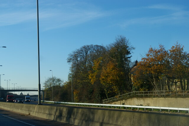
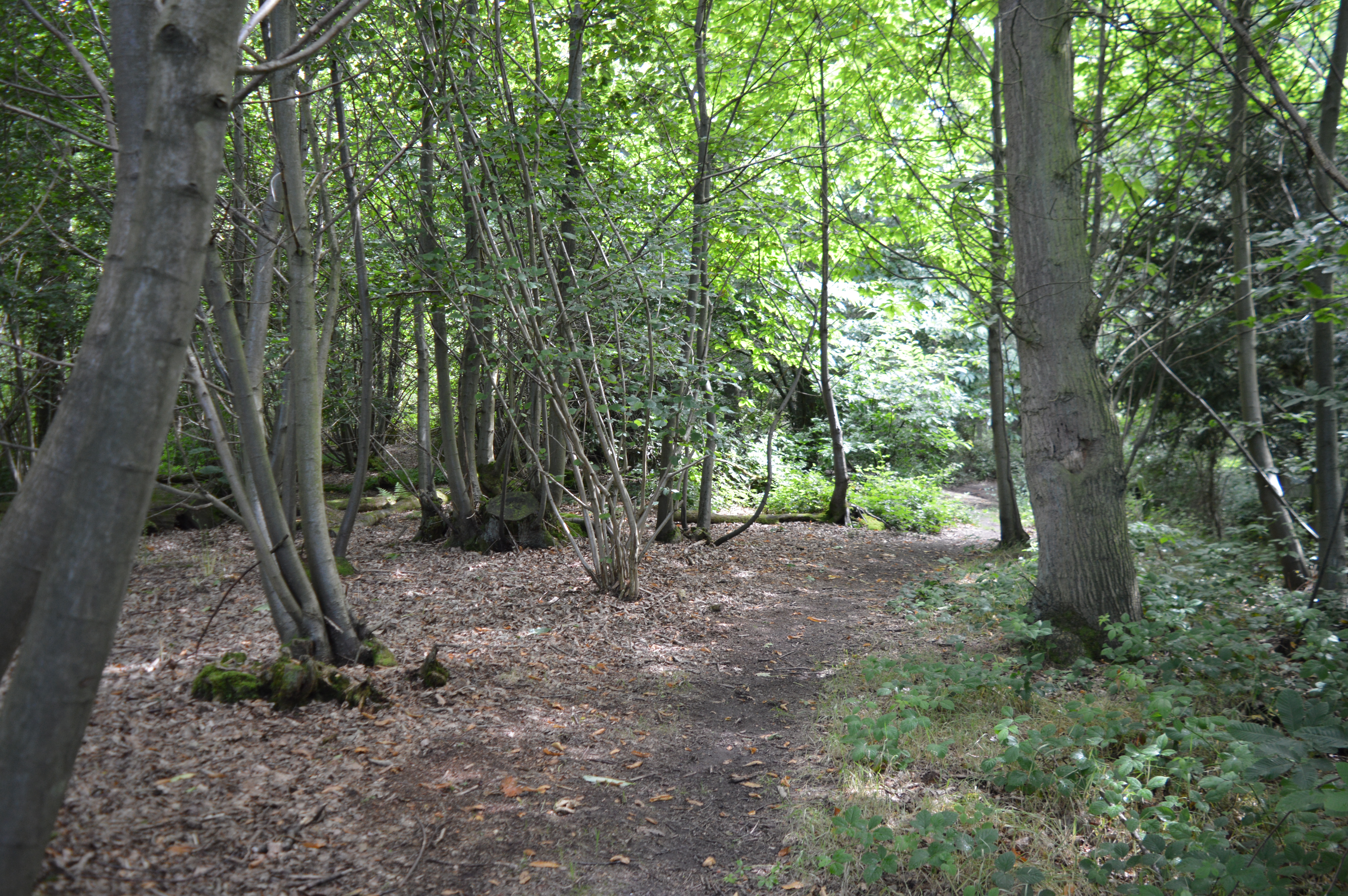
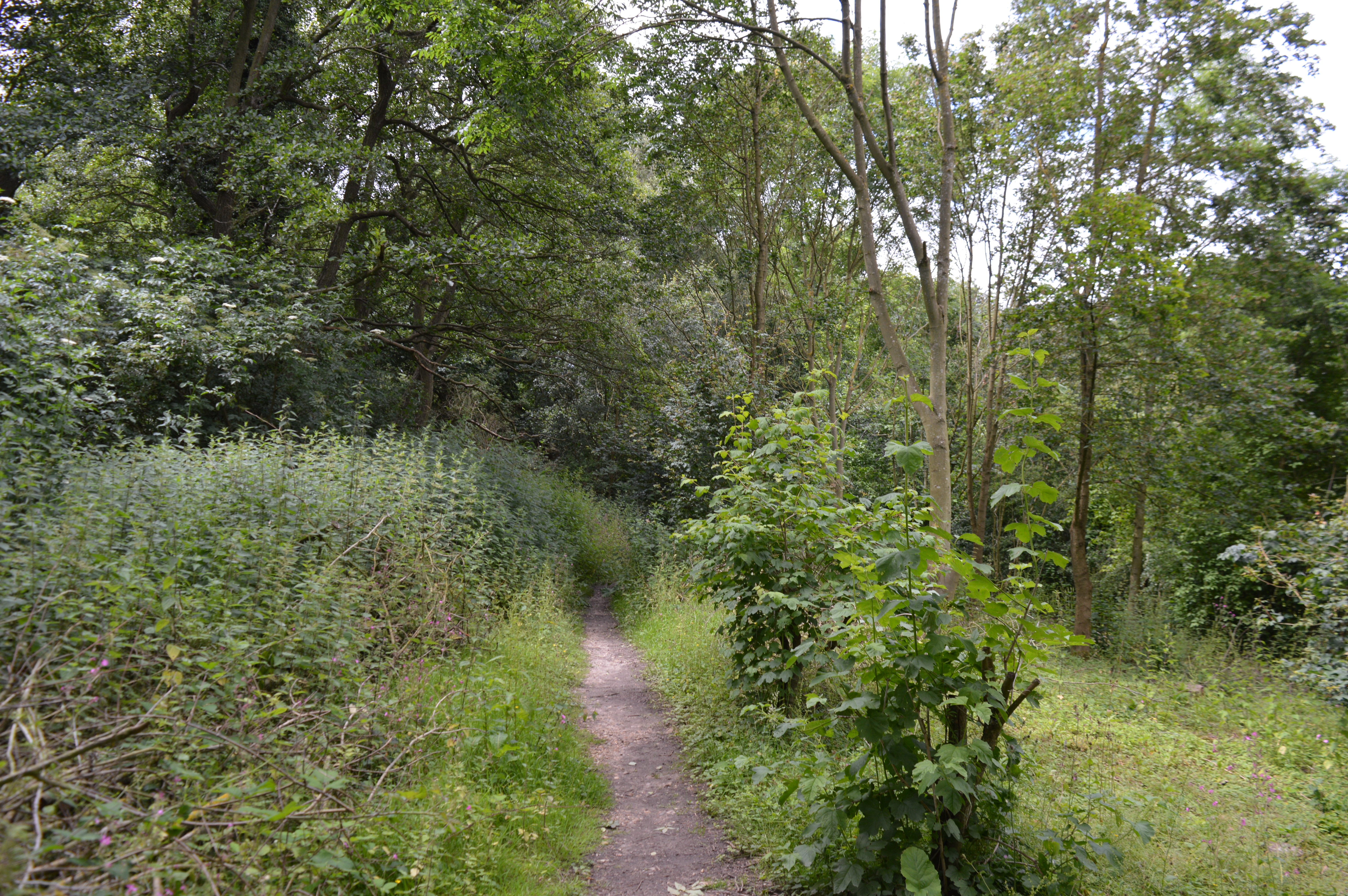
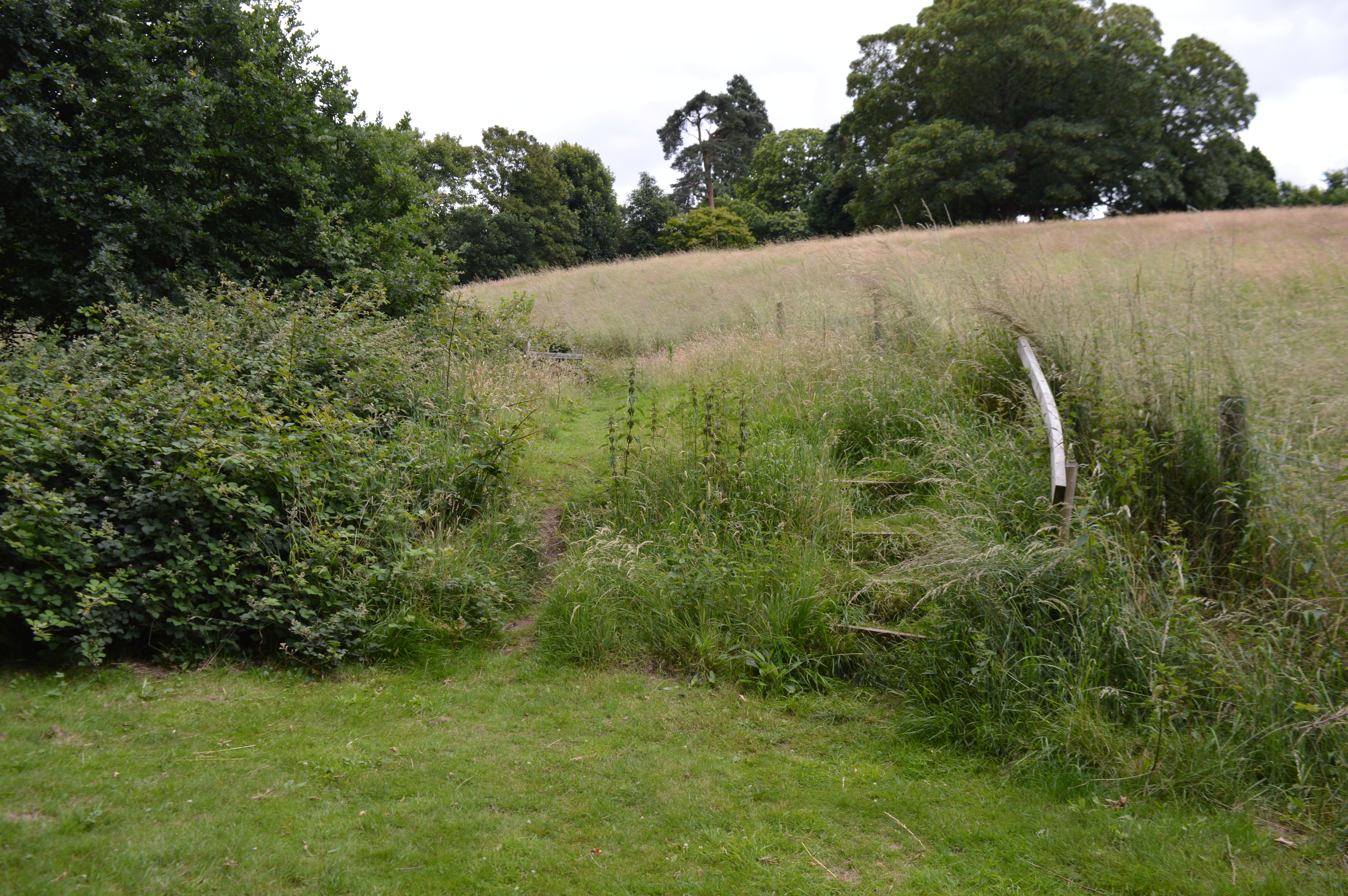
The village is known for its stunning natural surroundings, with rolling hills, farmland, and woodlands dominating the landscape. The area is rich in wildlife, making it a haven for nature lovers and outdoor enthusiasts. The village is home to several walking and cycling trails, providing opportunities to explore the countryside and enjoy the tranquility it offers.

Beacon End boasts a close-knit community that actively participates in various village events and activities. The village hall serves as the hub for social gatherings, hosting regular events such as fairs, concerts, and community meetings. The local pub, The Beacon Inn, is a popular spot for residents and visitors alike, offering a friendly atmosphere and traditional pub fare.

While Beacon End is primarily a residential area, it benefits from its proximity to nearby towns and amenities. The village is within easy reach of larger towns such as Saffron Walden and Bishop's Stortford, where residents can find a wider range of shops, schools, and leisure facilities.

Overall, Beacon End provides a tranquil and idyllic countryside retreat for its residents, offering a close community and natural beauty that epitomizes the charm of rural England.

If you have any feedback on the listing, please let us know in the comments section below.
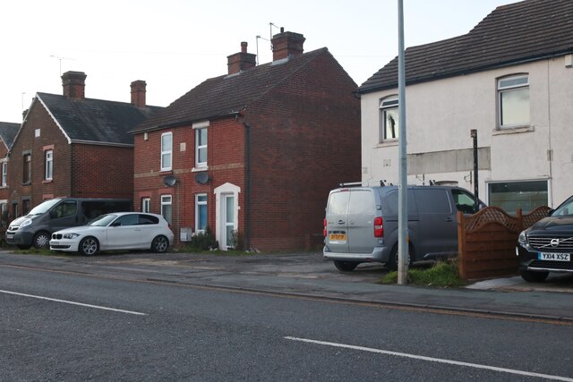
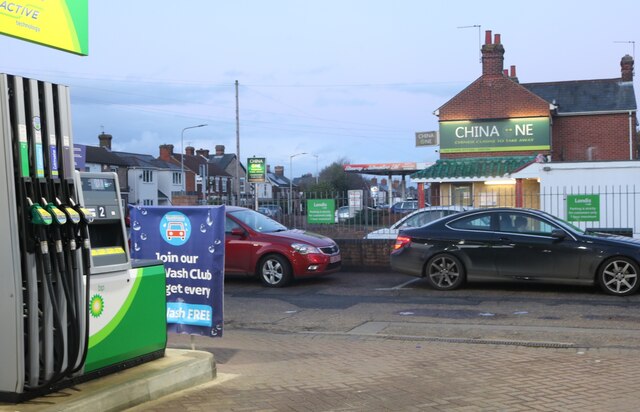
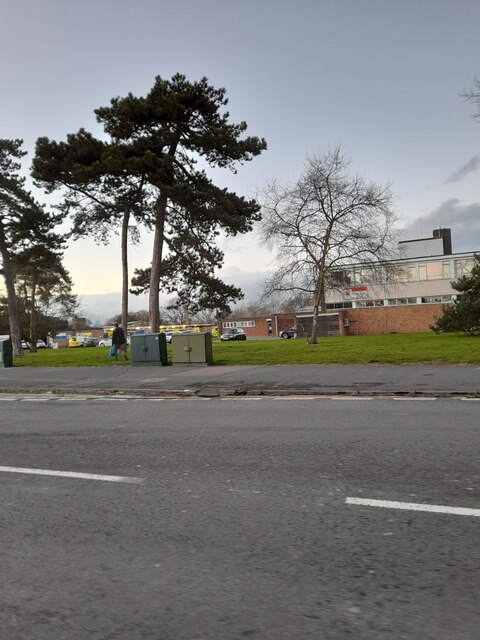
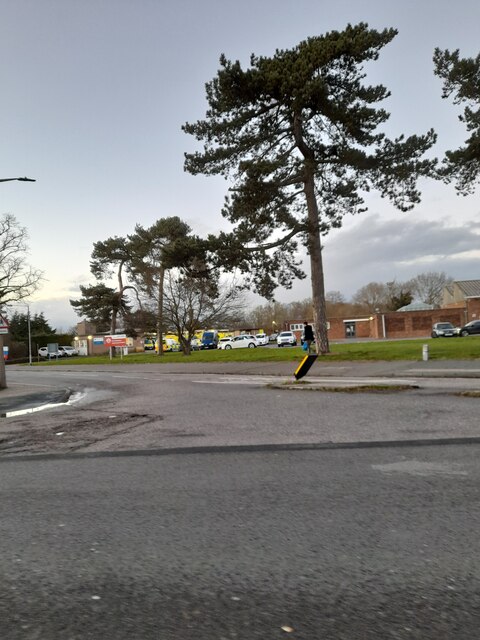
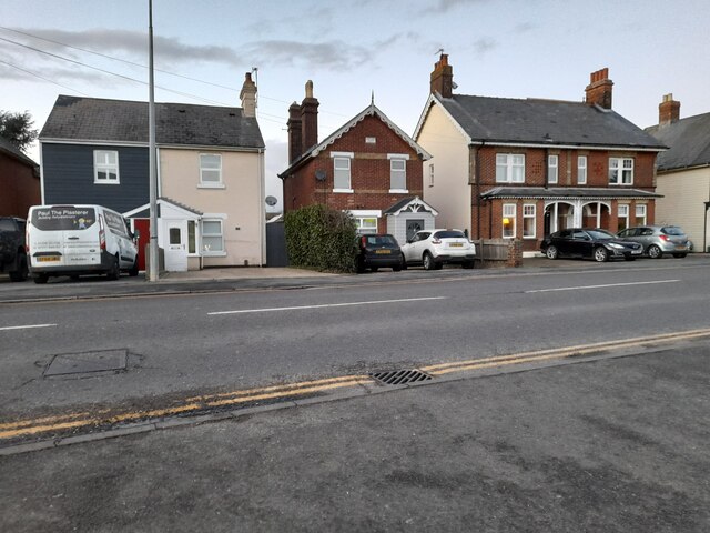
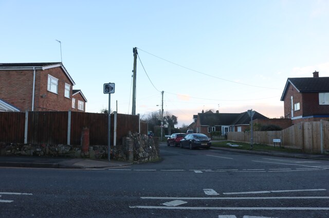
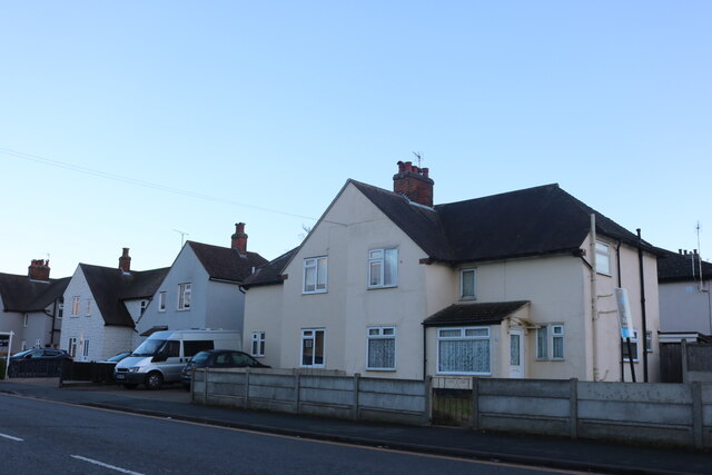
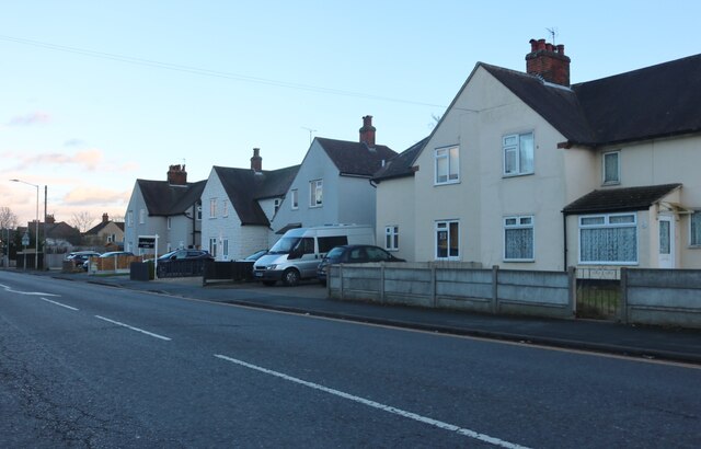
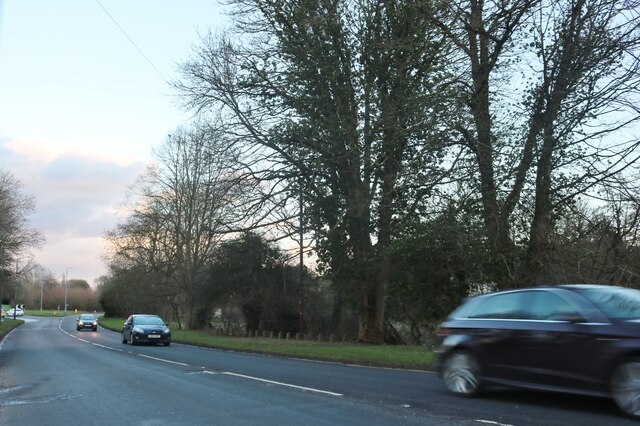
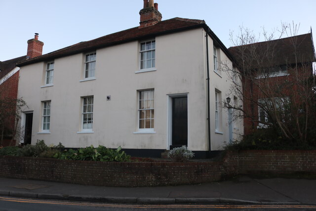
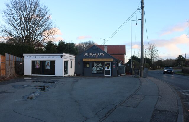
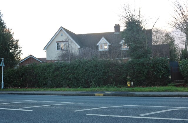
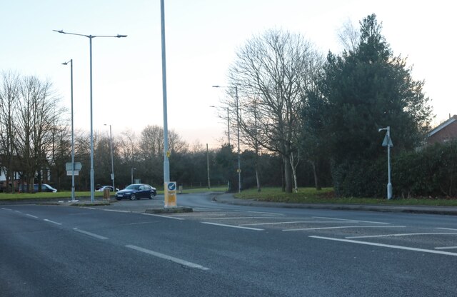
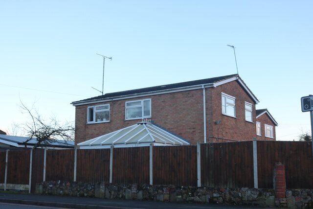
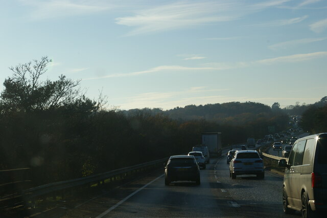
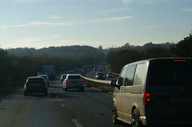
Beacon End Images

Images are sourced within 2km of 51.892555/0.838234 or Grid Reference TL9525. Thanks to Geograph Open Source API. All images are credited.

Houses on London Road, Stanway
Petrol station on London Road, Stanway
London Road, Lexden Looking towards the fire station
London Road, Lexden
Looking towards the fire station
London Road, Lexden Opposite the fire station ahead.
London Road, Lexden
Opposite the fire station ahead.
London Road, Stanway
London Road at the junction of Millers Lane
Houses on London Road, Lexden
London Road, Lexden
London Road, Lexden
Cymbeline Way, Colchester
Houses on London Road, Lexden
Shops on Halstead Road, Eight Ash Green
House on Halstead Road, Eight Ash Green
Roundabout on Halstead Road, Eight Ash Green
House by London Road, Stanway The front is on Millers Lane
House by London Road, Stanway
The front is on Millers Lane
A12 Colchester bypass dipping into the Colne valley The A12 is a 129 mile long trunk road from London to Great Yarmouth. It runs through Greater London, Essex, Suffolk and Norfolk. It passes by Brentwood, Colchester and Ipswich as well as passing through Lowestoft.
<span class="nowrap"><a title="http://www.sabre-roads.org.uk/wiki/index.php?title=A12" rel="nofollow ugc noopener" href="http://www.sabre-roads.org.uk/wiki/index.php?title=A12">Link</a><img style="margin-left:2px;" alt="External link" title="External link - shift click to open in new window" src="https://s1.geograph.org.uk/img/external.png" width="10" height="10"/></span> 
Wikipedia: <span class="nowrap"><a title="http://en.wikipedia.org/wiki/A12_road_(England)" rel="nofollow ugc noopener" href="http://en.wikipedia.org/wiki/A12_road_(England)">Link</a><img style="margin-left:2px;" alt="External link" title="External link - shift click to open in new window" src="https://s1.geograph.org.uk/img/external.png" width="10" height="10"/></span>
A12 Colchester bypass dipping into the Colne valley
The A12 is a 129 mile long trunk road from London to Great Yarmouth. It runs through Greater London, Essex, Suffolk and Norfolk. It passes by Brentwood, Colchester and Ipswich as well as passing through Lowestoft. LinkExternal link Wikipedia: LinkExternal link
A12 Colchester bypass The A12 is a 129 mile long trunk road from London to Great Yarmouth. It runs through Greater London, Essex, Suffolk and Norfolk. It passes by Brentwood, Colchester and Ipswich as well as passing through Lowestoft.
<span class="nowrap"><a title="http://www.sabre-roads.org.uk/wiki/index.php?title=A12" rel="nofollow ugc noopener" href="http://www.sabre-roads.org.uk/wiki/index.php?title=A12">Link</a><img style="margin-left:2px;" alt="External link" title="External link - shift click to open in new window" src="https://s1.geograph.org.uk/img/external.png" width="10" height="10"/></span> 
Wikipedia: <span class="nowrap"><a title="http://en.wikipedia.org/wiki/A12_road_(England)" rel="nofollow ugc noopener" href="http://en.wikipedia.org/wiki/A12_road_(England)">Link</a><img style="margin-left:2px;" alt="External link" title="External link - shift click to open in new window" src="https://s1.geograph.org.uk/img/external.png" width="10" height="10"/></span>
A12 Colchester bypass
The A12 is a 129 mile long trunk road from London to Great Yarmouth. It runs through Greater London, Essex, Suffolk and Norfolk. It passes by Brentwood, Colchester and Ipswich as well as passing through Lowestoft. LinkExternal link Wikipedia: LinkExternal link
Houses on Chits Hill from the railway
Show me another place!

Beacon End is located at Grid Ref: TL9525 (Lat: 51.892555, Lng: 0.838234)

Administrative County: Essex

District: Colchester

Police Authority: Essex

What 3 Words

///fend.snake.fluid. Near Eight Ash Green, Essex

Nearby Locations

Chitts Hills Beacon End

Related Wikis

Iron Latch

Iron Latch is a 4.3-hectare (11-acre) nature reserve in Eight Ash Green, west of Colchester in Essex.The site consists of areas of species-rich grassland...

Stanway Rovers F.C.

Stanway Rovers Football Club is a football club based in Stanway, near Colchester, in Essex, England. They are currently members of the Essex Senior League...

Beacon End

Beacon End is a village in Essex, England. == External links == Media related to Beacon End at Wikimedia Commons

The Stanway School

The Stanway School is a mixed secondary school located in Stanway in the English county of Essex.The school was converted to academy status in May 2013...

Eight Ash Green

Eight Ash Green is a village and civil parish in the City of Colchester district of Essex, England. It is on the A1124 road, near Junction 26 (Eight Ash...

Lexden Gathering Grounds

Lexden Gathering Grounds is an 8.9-hectare (22-acre) nature reserve in Lexden, a suburb of Colchester in Essex. It is owned by Anglian Water and managed...

Stanway Pegasus F.C.

Stanway Pegasus Football Club is a football club based in Stanway, England. They are currently members of the Eastern Counties League Division One North...

Spring Lane Meadows

Spring Lane Meadows or Lexden Springs is a 2-hectare (4.9-acre) Local Nature Reserve in Lexden, a suburb of Colchester in Essex. It is owned and managed...

Nearby Amenities

Located within 500m of 51.892555,0.838234
Motorway Junction
Eight Ash Green Interchange
Ref: 26
Lat/Long: 51.890629/0.8333556
Turning Circle
Lat/Long: 51.8922778/0.8401792
Turning Circle
Lat/Long: 51.8904343/0.8339345
Post Box
Operator: Royal Mail
Ref: CO3 292
Lat/Long: 51.8927736/0.8368096
Post Box
Operator: Royal Mail
Ref: CO3 414
Lat/Long: 51.8896508/0.841287
Bus Stop
Peace Road
Naptan AtcoCode: 150033091004
Naptan Bearing: W
Naptan CommonName: Peace Road
Naptan Indicator: Adj
Naptan Landmark: Peace Road
Naptan NaptanCode: esxamagw
Naptan PlusbusZoneRef: CLCHSTR
Naptan Street: Halstead Road
Naptan Verified: no
Public Transport: platform
Source: naptan_import
Lat/Long: 51.8910131/0.8443476
Bus Stop
Tudor Rose Close
Naptan AtcoCode: 150033091005
Naptan Bearing: E
Naptan CommonName: Tudor Rose Close
Naptan Crossing: Tudor Rose Close
Naptan Indicator: Opp
Naptan Landmark: Tudor Rose Close
Naptan NaptanCode: esxamajd
Naptan PlusbusZoneRef: CLCHSTR
Naptan Street: Halstead Road
Naptan Verified: no
Public Transport: platform
Source: naptan_import
Lat/Long: 51.89253/0.8388907
Bus Stop
Tudor Rose Close
Naptan AtcoCode: 150033091006
Naptan Bearing: W
Naptan CommonName: Tudor Rose Close
Naptan Crossing: Tudor Rose Close
Naptan Indicator: Adj
Naptan Landmark: Tudor Rose Close
Naptan NaptanCode: esxamaja
Naptan PlusbusZoneRef: CLCHSTR
Naptan Street: Halstead Road
Naptan Verified: no
Public Transport: platform
Source: naptan_import
Lat/Long: 51.8926558/0.8377794
Bus Stop
Cornflower Close
Naptan AtcoCode: 150033091007
Naptan Bearing: E
Naptan CommonName: Cornflower Close
Naptan Indicator: Adj
Naptan Landmark: Cornflower Close
Naptan NaptanCode: esxamajg
Naptan PlusbusZoneRef: CLCHSTR
Naptan Street: Halstead Road
Naptan Verified: no
Public Transport: platform
Source: naptan_import
Lat/Long: 51.8929734/0.8361714
Bus Stop
Warren Farm
Naptan AtcoCode: 150033091008
Naptan Bearing: E
Naptan CommonName: Warren Farm
Naptan Indicator: o/s
Naptan Landmark: Warren Farm
Naptan NaptanCode: esxamajm
Naptan PlusbusZoneRef: CLCHSTR
Naptan Street: Halstead Road
Naptan Verified: no
Public Transport: platform
Source: naptan_import
Lat/Long: 51.8928337/0.8321351
Barrier: bollard
Lat/Long: 51.8881752/0.8370658
Turning Circle
Lat/Long: 51.8888255/0.8355316
Turning Circle
Lat/Long: 51.890287/0.8360885
Turning Circle
Lat/Long: 51.8901391/0.836556
Turning Circle
Lat/Long: 51.8907002/0.8428336
Turning Circle
Lat/Long: 51.8907154/0.8417783
Turning Circle
Lat/Long: 51.8907764/0.843855
Barrier: bollard
Lat/Long: 51.8903582/0.8339586
Barrier: bollard
Lat/Long: 51.8914403/0.8317918
Power: substation
Lat/Long: 51.8918398/0.8375803
Turning Circle
Lat/Long: 51.8918435/0.8363548
Turning Circle
Lat/Long: 51.8920055/0.8418949
Turning Circle
Lat/Long: 51.889982/0.8331118
Barrier: bollard
Lat/Long: 51.8902763/0.8335058
Barrier: bollard
Lat/Long: 51.8882269/0.8400758
Turning Circle
Lat/Long: 51.8885332/0.8395572
Power: substation
Lat/Long: 51.8897378/0.833207
Parking
Parking: street_side
Lat/Long: 51.8909956/0.8399883
Addr City: Colchester
Addr Country: GB
Addr Housenumber: 187
Addr Street: Halstead Road
Lat/Long: 51.892633/0.831361
Addr City: Colchester
Addr Country: GB
Addr Housenumber: 133
Addr Street: Halstead Road
Lat/Long: 51.8928436/0.8362011
Addr City: Colchester
Addr Country: GB
Addr Housenumber: 135
Addr Street: Halstead Road
Lat/Long: 51.8928285/0.8359611
Addr City: Colchester
Addr Country: GB
Addr Housenumber: 128
Addr Street: Halstead Road
Lat/Long: 51.8924895/0.8395038
Addr City: Colchester
Addr Country: GB
Addr Housenumber: 99
Addr Street: Halstead Road
Lat/Long: 51.8923497/0.8391363
Addr City: Colchester
Addr Country: GB
Addr Housenumber: 109
Addr Street: Halstead Road
Lat/Long: 51.8924789/0.8384097
Addr City: Colchester
Addr Country: GB
Addr Housenumber: 111
Addr Street: Halstead Road
Lat/Long: 51.8925169/0.8381344
Addr City: Colchester
Addr Country: GB
Addr Housenumber: 104
Addr Street: Halstead Road
Lat/Long: 51.8921775/0.841708
Cornflower Close
Naptan AtcoCode: 1500330910Y7
Naptan BusStopType: CUS
Naptan NaptanCode: esxjpdjw
Naptan PlusbusZoneRef: CLCHSTR
Public Transport: platform
Source: naptan
Lat/Long: 51.8929599/0.8357884
Generator Method: photovoltaic
Generator Output Electricity: yes
Generator Source: solar
Generator Type: solar_photovoltaic_panel
Location: roof
Power: generator
Lat/Long: 51.8902575/0.844126
Generator Method: photovoltaic
Generator Output Electricity: yes
Generator Source: solar
Generator Type: solar_photovoltaic_panel
Location: roof
Power: generator
Lat/Long: 51.8905208/0.8430344
Generator Method: photovoltaic
Generator Output Electricity: yes
Generator Source: solar
Generator Type: solar_photovoltaic_panel
Location: roof
Power: generator
Lat/Long: 51.8903056/0.8420446
Generator Method: photovoltaic
Generator Output Electricity: yes
Generator Source: solar
Generator Type: solar_photovoltaic_panel
Location: roof
Power: generator
Lat/Long: 51.8884532/0.8408779
Generator Method: photovoltaic
Generator Output Electricity: yes
Generator Source: solar
Generator Type: solar_photovoltaic_panel
Location: roof
Power: generator
Lat/Long: 51.8889945/0.8424041
Generator Method: photovoltaic
Generator Output Electricity: yes
Generator Source: solar
Generator Type: solar_photovoltaic_panel
Location: roof
Power: generator
Lat/Long: 51.8890657/0.8424202
Generator Method: photovoltaic
Generator Output Electricity: yes
Generator Source: solar
Generator Type: solar_photovoltaic_panel
Location: roof
Power: generator
Lat/Long: 51.8904347/0.8415082
Generator Method: photovoltaic
Generator Output Electricity: yes
Generator Source: solar
Generator Type: solar_photovoltaic_panel
Location: roof
Power: generator
Lat/Long: 51.8904463/0.841594
Generator Method: photovoltaic
Generator Output Electricity: yes
Generator Source: solar
Generator Type: solar_photovoltaic_panel
Location: roof
Power: generator
Lat/Long: 51.8906532/0.8385444
Generator Method: photovoltaic
Generator Output Electricity: yes
Generator Source: solar
Generator Type: solar_photovoltaic_panel
Location: roof
Power: generator
Lat/Long: 51.8906598/0.8385926
Generator Method: photovoltaic
Generator Output Electricity: yes
Generator Source: solar
Generator Type: solar_photovoltaic_panel
Location: roof
Power: generator
Lat/Long: 51.8900771/0.8395824
Generator Method: photovoltaic
Generator Output Electricity: yes
Generator Source: solar
Generator Type: solar_photovoltaic_panel
Location: roof
Power: generator
Lat/Long: 51.890039/0.8390298
Generator Method: photovoltaic
Generator Output Electricity: yes
Generator Source: solar
Generator Type: solar_photovoltaic_panel
Location: roof
Power: generator
Lat/Long: 51.8900275/0.8389413
Generator Method: photovoltaic
Generator Output Electricity: yes
Generator Source: solar
Generator Type: solar_photovoltaic_panel
Location: roof
Power: generator
Lat/Long: 51.889996/0.8345103
Generator Method: photovoltaic
Generator Output Electricity: yes
Generator Source: solar
Generator Type: solar_photovoltaic_panel
Location: roof
Power: generator
Lat/Long: 51.888531/0.8365166
Generator Method: photovoltaic
Generator Output Electricity: yes
Generator Source: solar
Generator Type: solar_photovoltaic_panel
Location: roof
Power: generator
Lat/Long: 51.8884333/0.8371121
Generator Method: photovoltaic
Generator Output Electricity: yes
Generator Source: solar
Generator Type: solar_photovoltaic_panel
Location: roof
Power: generator
Lat/Long: 51.8893504/0.8382654
Generator Method: photovoltaic
Generator Output Electricity: yes
Generator Source: solar
Generator Type: solar_photovoltaic_panel
Location: roof
Power: generator
Lat/Long: 51.8899778/0.8364308
Generator Method: photovoltaic
Generator Output Electricity: yes
Generator Source: solar
Generator Type: solar_photovoltaic_panel
Location: roof
Power: generator
Lat/Long: 51.8901632/0.8351782
Generator Method: photovoltaic
Generator Output Electricity: yes
Generator Source: solar
Generator Type: solar_photovoltaic_panel
Location: roof
Power: generator
Lat/Long: 51.8890855/0.8345506
Turning Circle
Lat/Long: 51.8951143/0.8412863
The data included in this document is from www.openstreetmap.org. The data is made available under ODbL.

Have you been to Beacon End?

Leave your review of Beacon End below (or comments, questions and feedback).