Holloway

Settlement in Derbyshire Amber Va

England

Holloway

Footpath to Matlock Cliff From Littlemoor Lane
Footpath to Matlock Cliff Credit: Neil Theasby

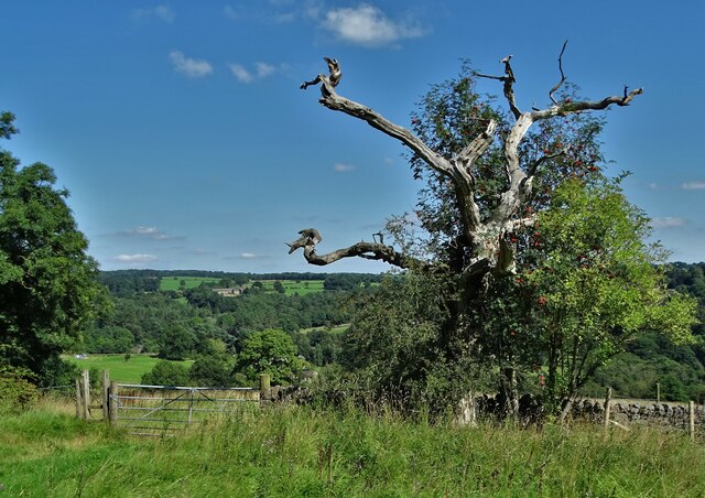
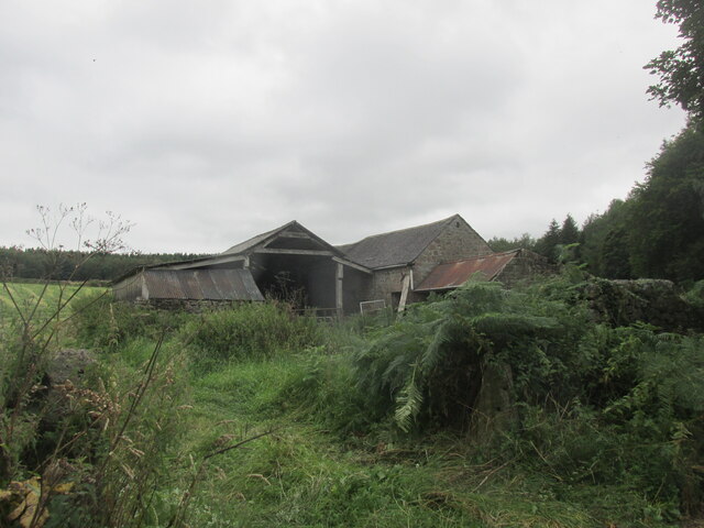
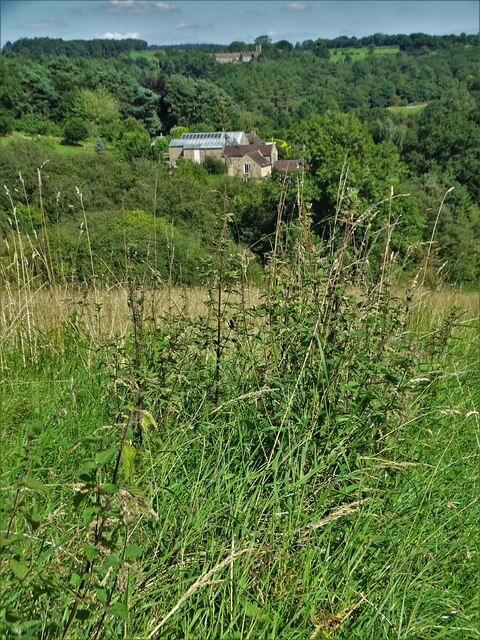
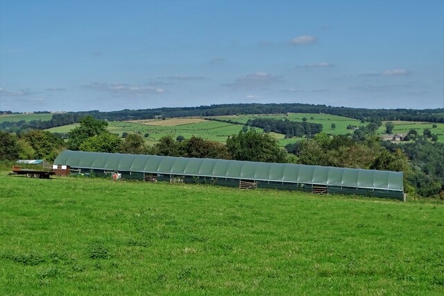
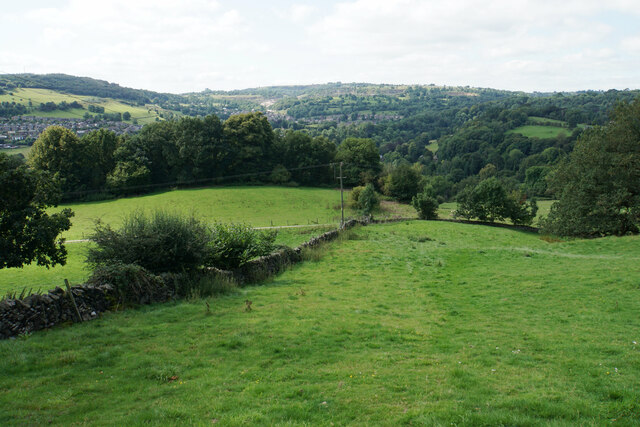
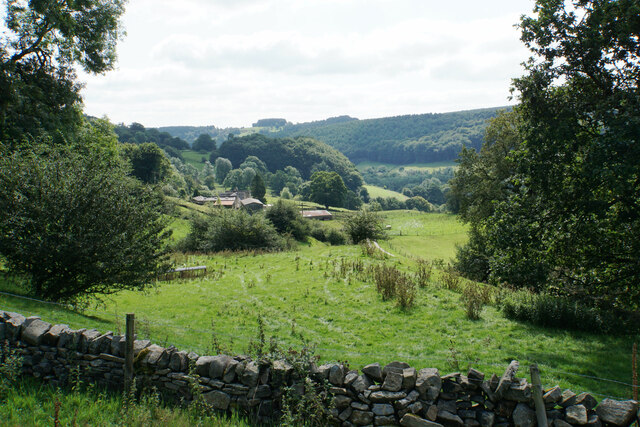
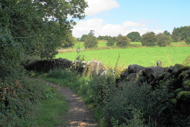
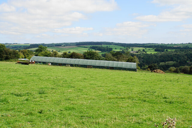
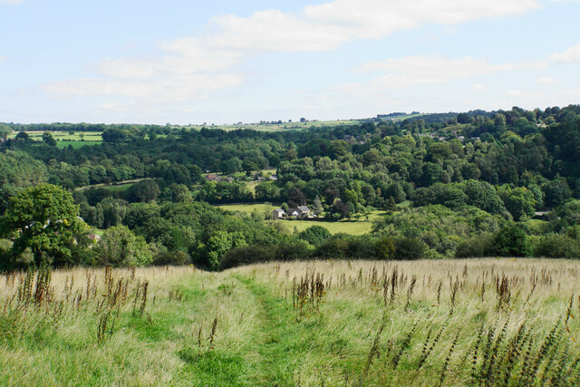
Holloway is a small village located in the county of Derbyshire, England. Situated in the heart of the Peak District National Park, it is surrounded by picturesque landscapes and offers a tranquil and rural setting. The village is nestled between the towns of Matlock and Bakewell, making it easily accessible for both locals and tourists alike.

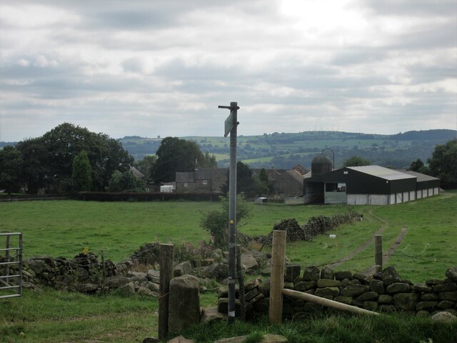
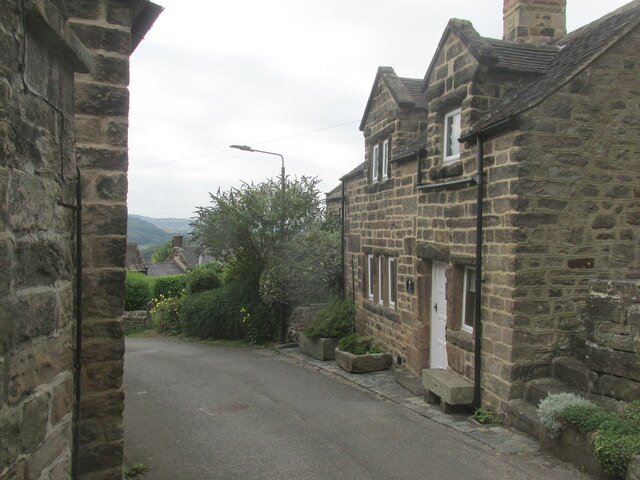
Holloway is known for its charming stone cottages and traditional architecture, which add to its rural character. The village is home to a close-knit community, with a population of around 300 residents. The locals take great pride in preserving the village's heritage and maintaining its natural beauty.

One of the notable features in Holloway is the Lea Hurst House, the childhood home of Florence Nightingale, the famous British nurse and social reformer. The house attracts many visitors who come to explore its history and learn about Nightingale's significant contributions to healthcare.

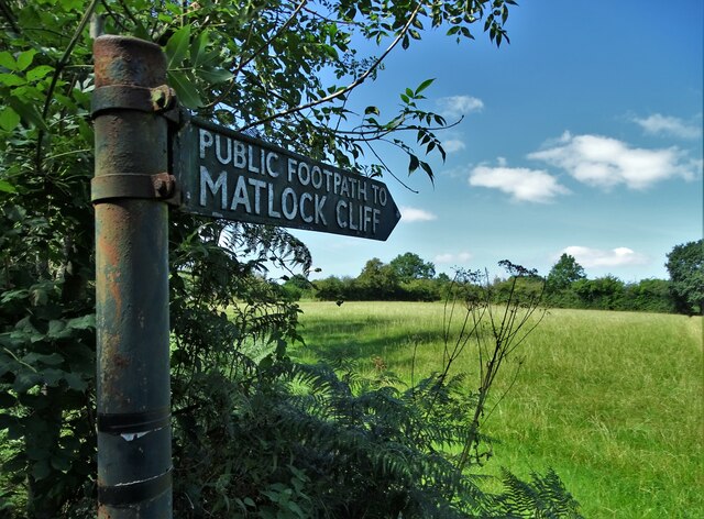
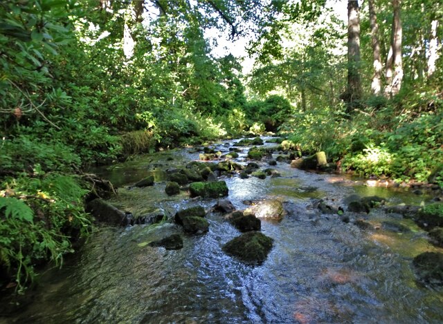
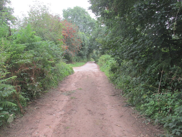
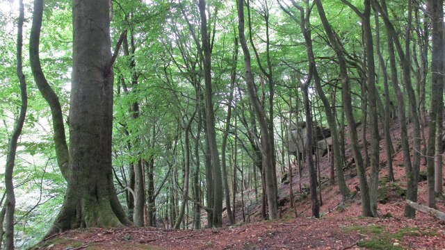
The village offers various recreational opportunities for outdoor enthusiasts. The surrounding countryside is a haven for hikers and nature lovers, with numerous walking trails and scenic viewpoints to discover. Additionally, Holloway is in close proximity to several notable attractions, including Chatsworth House, Haddon Hall, and the Heights of Abraham, making it an ideal base for exploring the wider Derbyshire area.

Despite its small size, Holloway boasts a welcoming community, stunning natural surroundings, and a rich historical heritage, making it an appealing destination for those seeking peace and tranquility amidst the beauty of the Peak District.

If you have any feedback on the listing, please let us know in the comments section below.

Holloway Images

Images are sourced within 2km of 53.104948/-1.5169968 or Grid Reference SK3256. Thanks to Geograph Open Source API. All images are credited.

Footpath to Matlock Cliff From Littlemoor Lane
Footpath to Matlock Cliff
From Littlemoor Lane
Mill House, Lea Mill With the old mill pond in the foreground now an attractive garden feature.
Mill House, Lea Mill
With the old mill pond in the foreground now an attractive garden feature.
Lea Brook Flowing through Upper Doe Carr Wood
Lea Brook
Flowing through Upper Doe Carr Wood
North of Coumbs Wood looking towards Dethick
Upper Holloway Farm Walking along the footpath that runs down towards the farm.
Upper Holloway Farm
Walking along the footpath that runs down towards the farm.
Cottages in Holloway Narrow street in the village.
Cottages in Holloway
Narrow street in the village.
Intake Lane Close to Birchwood Farm campsite.
Intake Lane
Close to Birchwood Farm campsite.
Old barn alongside the Midshires Way Intake Lane.
Old barn alongside the Midshires Way
Intake Lane.
Bauston Tor In the trees above the Incline.
Bauston Tor
In the trees above the Incline.
View to Low Leas House ...and beyond that to Dethick with its church tower peeping above the trees. Dethick was the home of Anthony Babington after whom The Babington Plot of 1586 was named. It was a plan born out of bitter religious competition that would have involved the assassination of Queen Elizabeth I.
View to Low Leas House
...and beyond that to Dethick with its church tower peeping above the trees. Dethick was the home of Anthony Babington after whom The Babington Plot of 1586 was named. It was a plan born out of bitter religious competition that would have involved the assassination of Queen Elizabeth I.
Matlock town sign on Littlemoor Lane
Modern barn on a hillside by High Leas Farm
Raised path along the street at Lea. A quiet little village.
Raised path along the street at Lea.
A quiet little village.
Hillside above Cromford A footpath from Lea descends into the Derwent valley here. Middleton Top is on the opposite hill.
Hillside above Cromford
A footpath from Lea descends into the Derwent valley here. Middleton Top is on the opposite hill.
Meadow Wood Farm The eastern side of the Derwent valley.
Meadow Wood Farm
The eastern side of the Derwent valley.
Hearthstone Lane An ancient route which climbs the ridge between Lea Brook and the River Derwent.
Hearthstone Lane
An ancient route which climbs the ridge between Lea Brook and the River Derwent.
Cloche by High Leas Farm The cloche is for the benefit of livestock and not for plants. The valley of Lea Brook is behind.
Cloche by High Leas Farm
The cloche is for the benefit of livestock and not for plants. The valley of Lea Brook is behind.
Footpath to Lea The village of Lea is in the trees on the other side of the valley. The valley of Lea Brook runs between.
Footpath to Lea
The village of Lea is in the trees on the other side of the valley. The valley of Lea Brook runs between.
Show me another place!

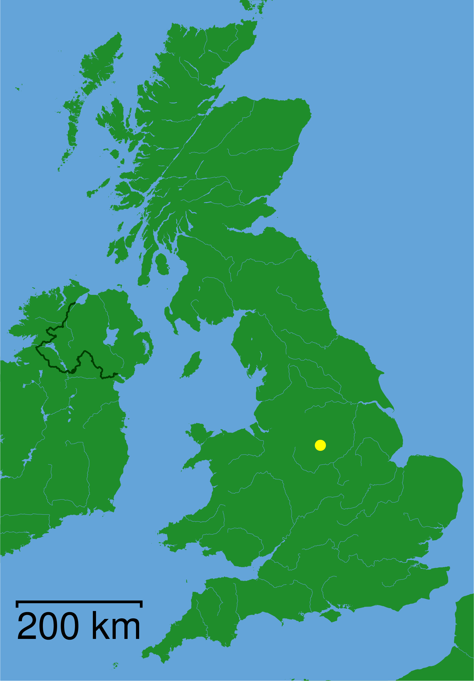
Holloway is located at Grid Ref: SK3256 (Lat: 53.104948, Lng: -1.5169968)

Administrative County: Derbyshire

District: Amber Va

Police Authority: Derbyshire

What 3 Words

///below.divisible.adopts. Near Tansley, Derbyshire

Related Wikis

Christ Church, Holloway

Christ Church, Holloway is a Grade II* listed parish church in the Church of England in Holloway, Derbyshire. == History == The foundation stone was laid...

High Peak Junction

High Peak Junction, near Cromford, Derbyshire, England, is the name now used to describe the site where the former Cromford and High Peak Railway (C&HPR...

Leawood Pump House

The Leawood Pump House (also known as High Peak Pump House) was built near Cromford, Derbyshire, England in 1849 to supply water to the Cromford Canal...

St John the Baptist's Church, Dethick

St John the Baptist's Church, Dethick is a Grade II* listed parish church in the Church of England in Dethick, Derbyshire. == History == The church was...
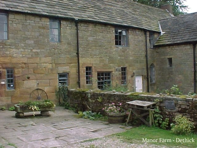
Dethick Manor

Dethick Manor is a 16th-century manor house, situated at Dethick, Amber Valley, Derbyshire, much altered in the 18th century and converted to use as a...

Wakebridge

Wakebridge is a hamlet in Derbyshire, England. It is located 1 mile north-west of Crich and lies close to Crich quarry.

St Michael and All Angels' Church, Littlethorpe

St Michael and All Angels’ Church, Littlethorpe is a Grade II listed parish church in the Church of England in Littlethorpe, North Yorkshire England....
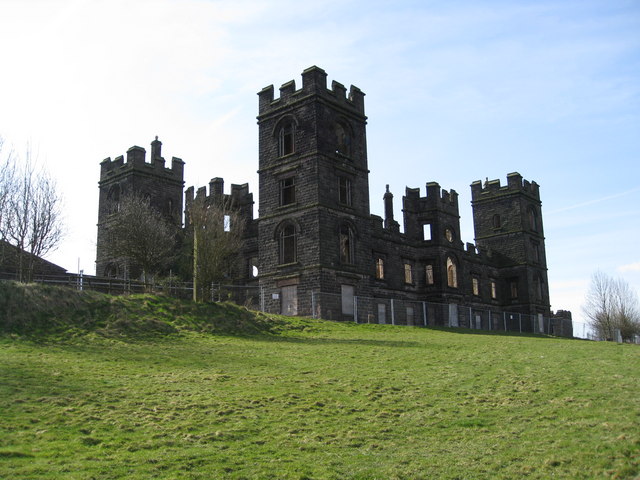
Riber

Riber is a hamlet in the civil parish of Matlock Town, in the Derbyshire Dales district, in the county of Derbyshire, England. It is situated high on a...

Nearby Amenities

Located within 500m of 53.104948,-1.5169968
Pipeline: valve
Source: Bing
Lat/Long: 53.1080858/-1.5202806
Holloway
Is In: Derbyshire, England, UK
Place: village
Wikidata: Q22121272
Lat/Long: 53.1029552/-1.5156399
Post Box
Brand: Royal Mail
Brand Wikidata: Q638098
Brand Wikipedia: en:Royal Mail
Operator: Royal Mail
Operator Wikidata: Q638098
Ref: DE4 977
Lat/Long: 53.1033132/-1.51678
Post Box
Brand: Royal Mail
Brand Wikidata: Q638098
Brand Wikipedia: en:Royal Mail
Operator: Royal Mail
Operator Wikidata: Q638098
Ref: DE4 950
Lat/Long: 53.1026552/-1.5134416
Post Box
Brand: Royal Mail
Brand Wikidata: Q638098
Brand Wikipedia: en:Royal Mail
Operator: Royal Mail
Operator Wikidata: Q638098
Post Box Type: wall
Ref: DE4 951
Royal Cypher: VR
Royal Cypher Wikidata: Q33102356
Lat/Long: 53.1056174/-1.5173742
Bus Stop
Bus: yes
Ele: 164.0000000
Public Transport: platform
Lat/Long: 53.1026235/-1.512906
Bus Stop
Bus: yes
Ele: 166.0000000
Naptan AtcoCode: 1000DHYTH728
Naptan NaptanCode: dbsdwjad
Public Transport: platform
Lat/Long: 53.1023805/-1.5125202
Ele: 201.0000000
Historic: memorial
Lat/Long: 53.1074832/-1.5160857
Bench
Ele: 202.0000000
Lat/Long: 53.1074268/-1.516116
Ele: 202.0000000
Lat/Long: 53.1074985/-1.5161494
Ele: 205.0000000
Lat/Long: 53.107515/-1.5161374
Ele: 202.0000000
Lat/Long: 53.1074751/-1.5161468
Ele: 185.0000000
Lat/Long: 53.1080149/-1.5170761
Ele: 177.0000000
Lat/Long: 53.1076549/-1.5171164
Ele: 172.0000000
Lat/Long: 53.1072045/-1.5172155
Ele: 203.0000000
Lat/Long: 53.1075305/-1.5161123
Barrier: kissing_gate
Source: survey;gps
Lat/Long: 53.1075508/-1.5160985
Bus Stop
Bus: yes
Ele: 155.0000000
Naptan AtcoCode: 1000DLCS2681
Naptan NaptanCode: dbsatdjp
Public Transport: platform
Lat/Long: 53.1077454/-1.5187208
Toilets
Ele: 155.0000000
Lat/Long: 53.107001/-1.5180096
Bench
Ele: 156.0000000
Lat/Long: 53.1068971/-1.5179144
Bus Stop
Bus: yes
Public Transport: platform
Lat/Long: 53.1070452/-1.5181585
Ele: 158.0000000
Lat/Long: 53.107009/-1.5179224
Ele: 160.0000000
Lat/Long: 53.1068979/-1.5176743
Ele: 161.0000000
Lat/Long: 53.1069115/-1.5176357
Ele: 164.0000000
Lat/Long: 53.1070839/-1.5176368
Ele: 165.0000000
Lat/Long: 53.1070943/-1.5175913
Ele: 155.0000000
Lat/Long: 53.1069969/-1.517956
Bus Stop
Bus: yes
Ele: 148.0000000
Public Transport: platform
Lat/Long: 53.1043207/-1.5164767
Bus Stop
Bus: yes
Ele: 148.0000000
Public Transport: platform
Lat/Long: 53.1044882/-1.5168844
Post Office
Holloway Post Office
Addr City: Matlock
Addr Housename: Mayfield Stores
Addr Housenumber: 7
Addr Postcode: DE4 5AY
Addr Street: Church Street
Addr Village: Holloway
Brand: Post Office
Brand Wikidata: Q1783168
Ele: 148
Old Fhrs Id: 777
Ref Pol Id: 14891
Website: https://www.postoffice.co.uk/branch-finder/4252071/holloway
Lat/Long: 53.1050421/-1.5172599
Place Of Worship
Holloway Methodist Chapel
Addr City: Matlock
Addr Postcode: DE4 5AY
Addr Village: Holloway
Denomination: methodist
Ele: 147.0000000
Religion: christian
Lat/Long: 53.1052997/-1.517453
Former Pub
Ele: 162.0000000
Old Name: Yew Tree Inn
Lat/Long: 53.1027302/-1.5142746
Bench
Ele: 220.0000000
Lat/Long: 53.1067316/-1.5151152
Bench
Ele: 221.0000000
Lat/Long: 53.1063996/-1.5148194
Ele: 180.0000000
Lat/Long: 53.1038112/-1.5141328
Ele: 182.0000000
Lat/Long: 53.1038557/-1.5140887
Ele: 189.0000000
Lat/Long: 53.104362/-1.5140071
Ele: 194.0000000
Lat/Long: 53.104565/-1.5140627
Ele: 119.0000000
Lat/Long: 53.1027603/-1.5219993
Barrier: kissing_gate
Ele: 118
Lat/Long: 53.1026726/-1.5224958
Barrier: kissing_gate
Lat/Long: 53.1018152/-1.5208322
Barrier: stile
Material: stone
Source: survey
Steps: 2
Stile: stepover
Lat/Long: 53.1013408/-1.5175177
Ele: 147.0000000
Lat/Long: 53.10343/-1.5172716
Ele: 148.0000000
Lat/Long: 53.103704/-1.5173157
Historic Operator: Derwent Valley Water Board
Note: Probably part of Derwent Aquedect (gate to east is a Derwent Aqueduct-style gate)
Operator: Severn Trent Water
Pipeline: valve
Lat/Long: 53.1013932/-1.5155207
Barrier: kissing_gate
Source: survey;gps
Lat/Long: 53.1012921/-1.5181987
Generator Method: photovoltaic
Generator Output Electricity: yes
Generator Source: solar
Generator Type: solar_photovoltaic_panel
Location: roof
Power: generator
Lat/Long: 53.1047197/-1.5170995
Generator Method: photovoltaic
Generator Output Electricity: yes
Generator Source: solar
Generator Type: solar_photovoltaic_panel
Location: roof
Power: generator
Lat/Long: 53.1025738/-1.5181755
Generator Method: photovoltaic
Generator Output Electricity: yes
Generator Source: solar
Generator Type: solar_photovoltaic_panel
Location: roof
Power: generator
Lat/Long: 53.1028136/-1.515032
Generator Method: photovoltaic
Generator Output Electricity: yes
Generator Source: solar
Generator Type: solar_photovoltaic_panel
Location: roof
Power: generator
Lat/Long: 53.1061607/-1.5179584
Generator Method: photovoltaic
Generator Output Electricity: yes
Generator Source: solar
Generator Type: solar_photovoltaic_panel
Location: roof
Power: generator
Lat/Long: 53.1061132/-1.5179337
Generator Method: photovoltaic
Generator Output Electricity: yes
Generator Source: solar
Generator Type: solar_photovoltaic_panel
Location: roof
Power: generator
Lat/Long: 53.10602/-1.5178893
Pipeline: valve
Lat/Long: 53.1080832/-1.5203232
Barrier: stile
Material: stone
Source: survey;gps
Stile: squeezer
Lat/Long: 53.1031041/-1.516102
Barrier: stile
Material: stone
Source: survey;gps
Stile: squeezer
Lat/Long: 53.1030178/-1.5160963
Pipeline: valve
Lat/Long: 53.1041488/-1.516591
Pipeline: valve
Lat/Long: 53.1058605/-1.5175966
The data included in this document is from www.openstreetmap.org. The data is made available under ODbL.

Have you been to Holloway?

Leave your review of Holloway below (or comments, questions and feedback).