Bowcroft Hill

Hill, Mountain in Dorset

England

Bowcroft Hill

Field and hedgerow near Lower Woodbury Farm
Field and hedgerow near Lower Woodbury Farm Credit: JThomas

Bowcroft Hill is a prominent landmark located in the county of Dorset, England. Situated near the village of Marnhull, it forms part of the picturesque landscape of the Blackmore Vale. Although referred to as a hill, Bowcroft Hill is more accurately classified as a small mountain due to its elevation and steep slopes.

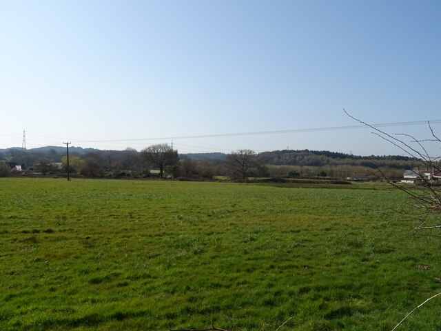
Rising to a height of approximately 195 meters (640 feet), Bowcroft Hill offers stunning panoramic views of the surrounding countryside. Its summit is adorned with lush greenery, with a mix of grasses, heather, and wildflowers covering the slopes. The hill is a haven for wildlife, providing a habitat for various bird species, including kestrels and buzzards, as well as small mammals such as rabbits and foxes.

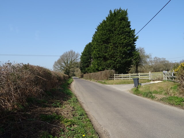
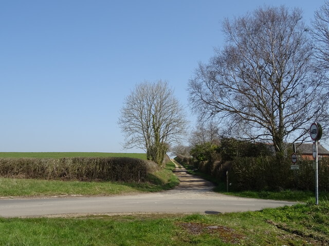
Access to Bowcroft Hill is available via footpaths that wind their way up the hillside, providing visitors with an opportunity to explore its natural beauty. The paths offer a moderately challenging hike, with some steeper sections that require a bit of effort to climb. On a clear day, the view from the top is breathtaking, stretching across the rolling hills and farmland of Dorset.

Bowcroft Hill is a popular destination for outdoor enthusiasts, including hikers, walkers, and nature lovers. Its tranquil setting and scenic vistas make it an ideal spot for picnics and photography. Whether enjoyed as part of a leisurely stroll or a more rigorous hike, a visit to Bowcroft Hill offers a chance to experience the natural wonders of Dorset's landscape.

If you have any feedback on the listing, please let us know in the comments section below.

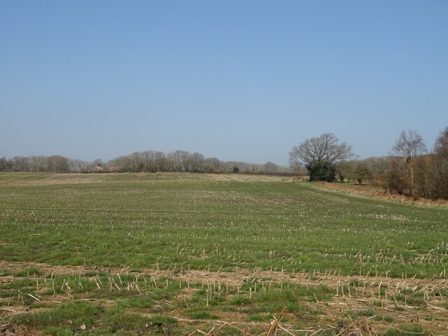
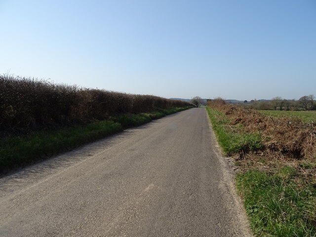
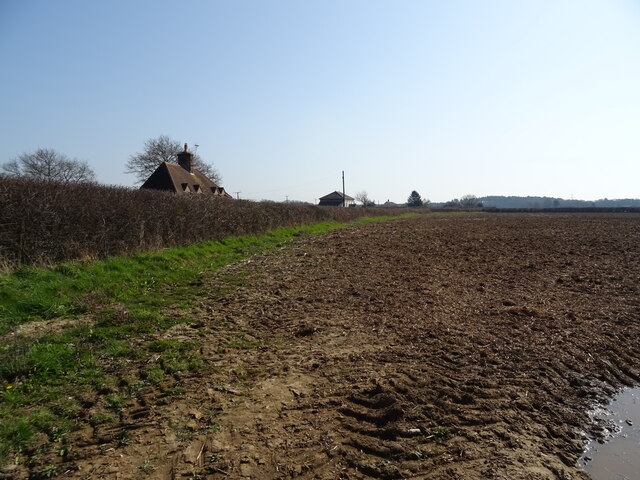
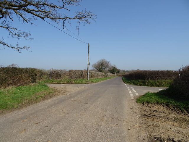
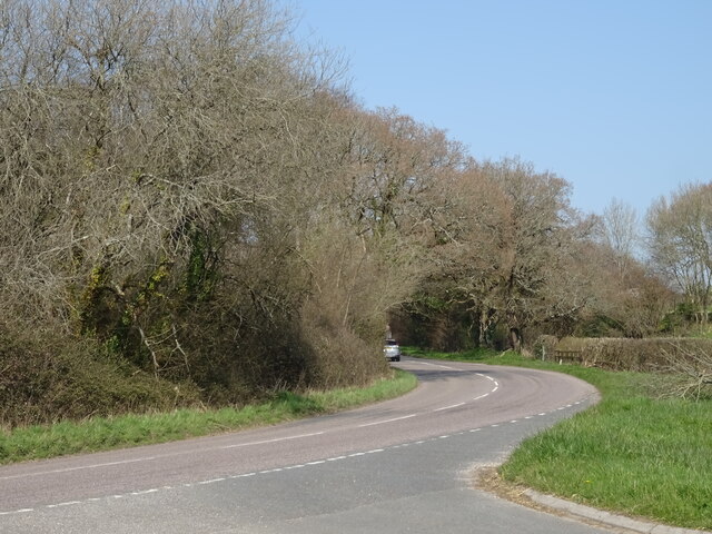
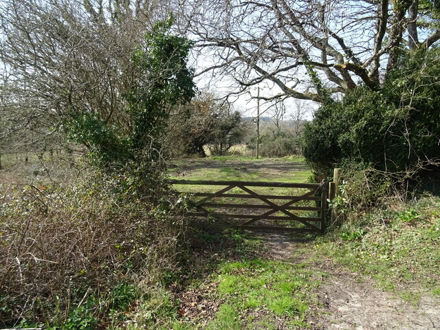
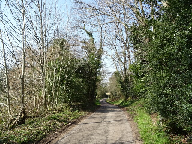
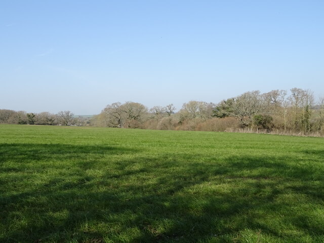
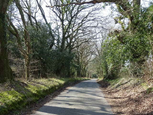
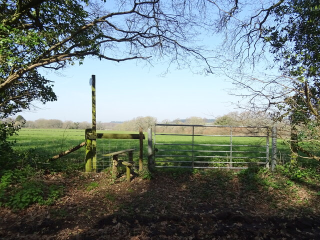
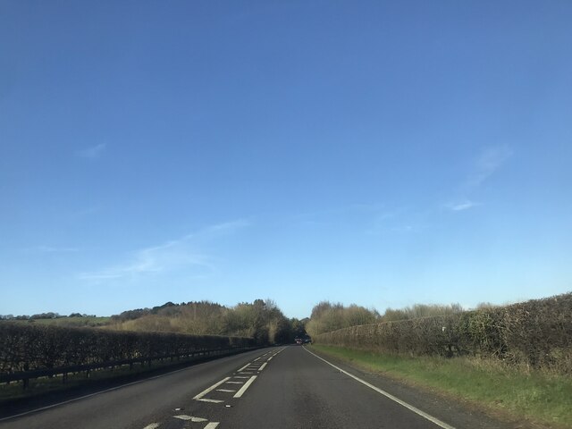
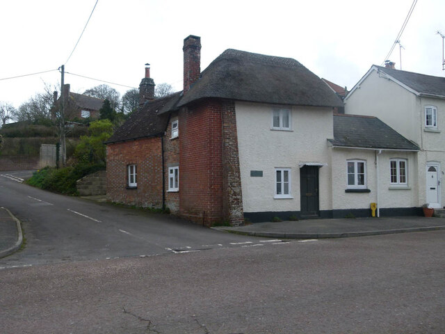
Bowcroft Hill Images

Images are sourced within 2km of 50.741972/-2.2192787 or Grid Reference SY8493. Thanks to Geograph Open Source API. All images are credited.

Field and hedgerow near Lower Woodbury Farm
Minor road towards Lane End
Subble field
Subble field
Minor road towards Lane End
Field and hedgerow, Chapel Cross
Chapel Cross
Chapel Cross
Grazing, Lane End
Grazing, Lane End
Minor road towards Yearlings Farm
Fingerpost, Yearlings' Bottom
Track (bridleway) towards Hollow Oak
Minor road towards Bere Regis
Field entrance, Mintern's Ferry
Lane towards Turners Puddle
Grazing towards Brockhill Coppice
Minor road, Brockhill
Field entrance and footpath, Brockhill
A35 near Shitterton
A35 near Shitterton
Toll Gate Cottage, Bere Regis A former Toll House at 72 West Street, on the corner of Butt Lane. Used by the Wimborne and Piddletown Turnpike Trust, up to the mid 19ᵗʰ C.

Milestone Society National ID: DO.BER
Toll Gate Cottage, Bere Regis
A former Toll House at 72 West Street, on the corner of Butt Lane. Used by the Wimborne and Piddletown Turnpike Trust, up to the mid 19ᵗʰ C. Milestone Society National ID: DO.BER
Show me another place!

Bowcroft Hill is located at Grid Ref: SY8493 (Lat: 50.741972, Lng: -2.2192787)

Unitary Authority: Dorset

Police Authority: Dorset

What 3 Words

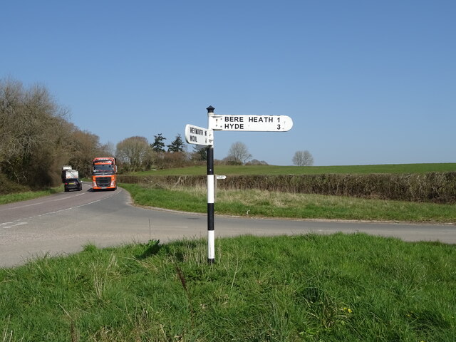
///ironic.impaled.contemplate. Near Bere Regis, Dorset

Related Wikis

Bere Regis

Bere Regis () is a village and civil parish in Dorset, England, situated 6 miles (9.7 km) north-west of Wareham. In the 2011 census the civil parish had...

Black Hill Heath

Black Hill Heath (grid reference SY835943) is a 69.67 hectare biological Site of Special Scientific Interest in Dorset, notified in 1989. == Sources... ==

Turners Puddle

Turners Puddle is a village and former civil parish, now in the parish of Affpuddle and Turnerspuddle, in the Dorset district, in the ceremonial county...
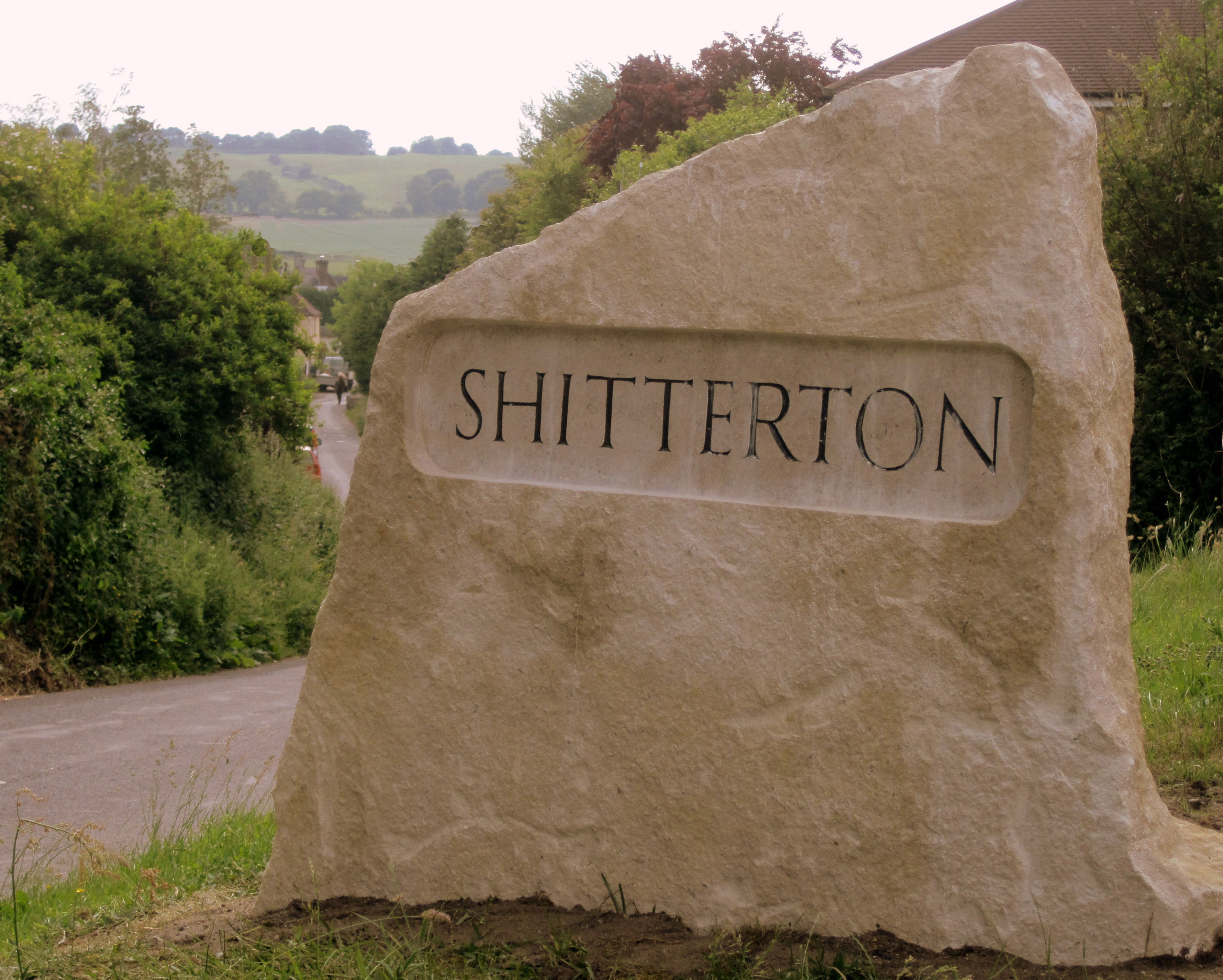
Shitterton

Shitterton is a hamlet in Bere Regis Dorset, England. It includes a collection of historic thatched buildings dating back to the 18th century and earlier...

Woodbury Hill, Dorset

Woodbury Hill is a hill near Bere Regis in Dorset, England. It is the site of an Iron Age hillfort (a scheduled monument), and the location of an annual...

Bere Stream

Bere Stream (grid reference SY860926) is an 11.2 hectare biological Site of Special Scientific Interest in Dorset, notified in 1977. == Sources == English...

Briantspuddle

Briantspuddle is a small village in the Piddle Valley in Dorset, England, near the villages of Affpuddle and Tolpuddle and about 8 miles (13 km) east of...

Cull-Peppers Dish

Cull-Peppers Dish (grid reference SY814926) is a 0.9-hectare (2.2-acre) geological Site of Special Scientific Interest in Dorset, notified in 1989. �...

Nearby Amenities

Located within 500m of 50.741972,-2.2192787
Post Box
Operator: Royal Mail
Post Box Type: lamp
Ref: BH20 325
Ref GB Uprn: 10015401925
Lat/Long: 50.745749/-2.2196653
Rowlands Wait Touring Park
Source: ACSI
Tourism: camp_site
Lat/Long: 50.7437066/-2.2239699
Material: wood
Power: pole
Source: bing
Lat/Long: 50.7377013/-2.218955
Antenna: yes
Material: wood
Note: Has switch and recloser on same pole
Power: pole
Source: survey
Switch: circuit_breaker;mechanical
Lat/Long: 50.7385226/-2.218251
Material: wood
Power: pole
Source: bing
Lat/Long: 50.7393477/-2.217551
Material: wood
Power: pole
Source: bing
Lat/Long: 50.7400277/-2.2179971
Material: wood
Power: pole
Source: bing
Lat/Long: 50.7400464/-2.216018
Material: wood
Power: pole
Source: bing
Lat/Long: 50.7411182/-2.2212359
Material: wood
Power: pole
Source: bing
Lat/Long: 50.7422616/-2.222014
Material: wood
Power: pole
Source: bing
Lat/Long: 50.7430987/-2.223431
Material: wood
Power: pole
Source: bing
Lat/Long: 50.7433263/-2.2237805
Material: wood
Power: pole
Source: bing
Lat/Long: 50.7457509/-2.2230858
Material: wood
Power: pole
Source: bing
Lat/Long: 50.7408284/-2.2143932
Material: wood
Power: pole
Source: bing
Transformer: distribution
Lat/Long: 50.7411811/-2.213572
Telephone
Booth: K6
Check Date: 2022-11-30
Covered: booth
Lat/Long: 50.7456706/-2.2196934
Man Made: antenna
Material: metal
Operator: Wessex Water
Lat/Long: 50.7418579/-2.2210515
Yearling's Drove Rye Hill
Power: pole
Ref: 57301169
Source: survey
Transformer: distribution
Voltage Primary: 11000
Voltage Secondary: 400
Voltage Tertiary: 230
Lat/Long: 50.7418394/-2.2217019
Power: pole
Source: bing
Lat/Long: 50.738925/-2.2197291
Power: pole
Source: bing
Lat/Long: 50.7400742/-2.2204882
Location Transition: yes
Man Made: utility_pole
Material: wood
Operator: BT OpenReach
Ref: DP 20
Source: survey
Utility: telecom
Lat/Long: 50.7416943/-2.221891
Man Made: utility_pole
Material: wood
Operator: BT OpenReach
Source: bing
Utility: telecom
Lat/Long: 50.741354/-2.2223389
Man Made: utility_pole
Material: wood
Operator: BT OpenReach
Source: bing
Utility: telecom
Lat/Long: 50.740967/-2.2228351
Man Made: utility_pole
Material: wood
Operator: BT OpenReach
Source: survey
Utility: telecom
Lat/Long: 50.7395946/-2.2218977
Man Made: utility_pole
Material: wood
Operator: BT OpenReach
Source: survey
Utility: telecom
Lat/Long: 50.7399494/-2.222406
Man Made: utility_pole
Material: wood
Operator: BT OpenReach
Source: survey
Utility: telecom
Lat/Long: 50.7402626/-2.2228552
Man Made: utility_pole
Material: wood
Operator: BT OpenReach
Source: survey
Utility: telecom
Lat/Long: 50.7405723/-2.2233193
Give Way
Lat/Long: 50.7424258/-2.2206279
Give Way
Lat/Long: 50.7398357/-2.2192781
The data included in this document is from www.openstreetmap.org. The data is made available under ODbL.

Have you been to Bowcroft Hill?

Leave your review of Bowcroft Hill below (or comments, questions and feedback).