Spear's Coppice
Wood, Forest in Dorset
England
Spear's Coppice

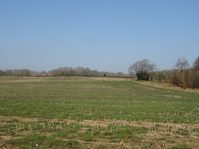
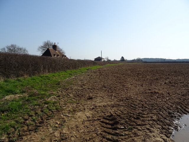
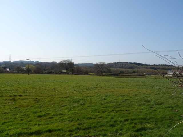
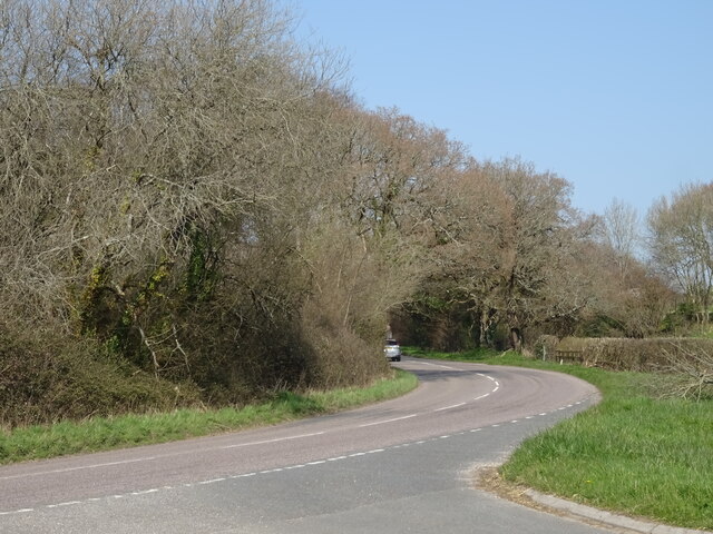
Spear's Coppice, located in the county of Dorset, England, is a captivating wood known for its natural beauty and diverse ecosystem. This enchanting forest covers an expansive area and is a popular destination for nature enthusiasts and hikers.
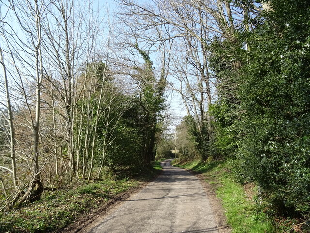
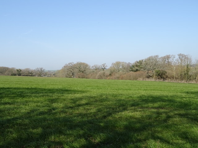
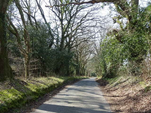
The coppice is characterized by its lush greenery, comprising a mix of towering trees, including oak, beech, and ash, which create a dense canopy overhead. The forest floor is carpeted with a vibrant array of wildflowers, ferns, and mosses, creating a picturesque and tranquil environment.
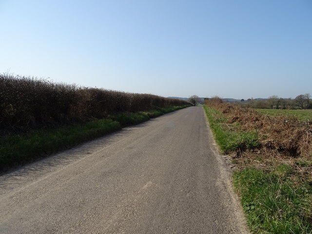
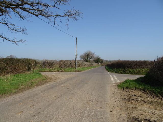
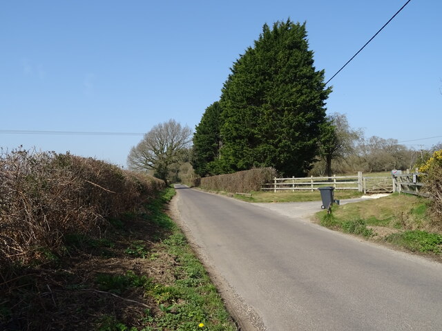
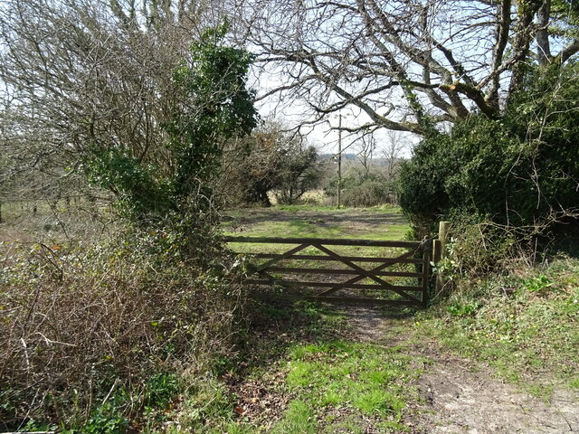
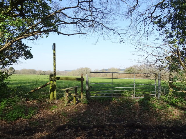
Spear's Coppice offers a variety of walking trails, ranging from easy strolls to more challenging hikes, allowing visitors to explore the wood's vast expanse at their own pace. These paths wind through the forest, revealing breathtaking views of sun-dappled glades, babbling brooks, and meandering streams.
The forest is home to a diverse range of wildlife, including deer, badgers, foxes, and an abundance of bird species. Birdwatchers can delight in spotting resident and migratory birds, such as woodpeckers, jays, and thrushes, nestled within the woodland's trees.
Spear's Coppice also holds historical significance, with remnants of ancient earthworks and archaeological sites scattered throughout the wood. This adds an element of intrigue and fascination for those interested in the area's past.
Visitors to Spear's Coppice can immerse themselves in the tranquility of nature, experiencing the sights, sounds, and scents of this captivating forest.
If you have any feedback on the listing, please let us know in the comments section below.
Spear's Coppice Images
Images are sourced within 2km of 50.743767/-2.2165375 or Grid Reference SY8493. Thanks to Geograph Open Source API. All images are credited.

Spear's Coppice is located at Grid Ref: SY8493 (Lat: 50.743767, Lng: -2.2165375)
Unitary Authority: Dorset
Police Authority: Dorset
What 3 Words
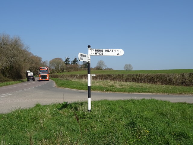
///fluid.engrossed.transit. Near Bere Regis, Dorset
Nearby Locations
Related Wikis

Bere Regis
Bere Regis () is a village and civil parish in Dorset, England, situated 6 miles (9.7 km) north-west of Wareham. In the 2011 census the civil parish had...

Woodbury Hill, Dorset
Woodbury Hill is a hill near Bere Regis in Dorset, England. It is the site of an Iron Age hillfort (a scheduled monument), and the location of an annual...

Black Hill Heath
Black Hill Heath (grid reference SY835943) is a 69.67 hectare biological Site of Special Scientific Interest in Dorset, notified in 1989. == Sources... ==
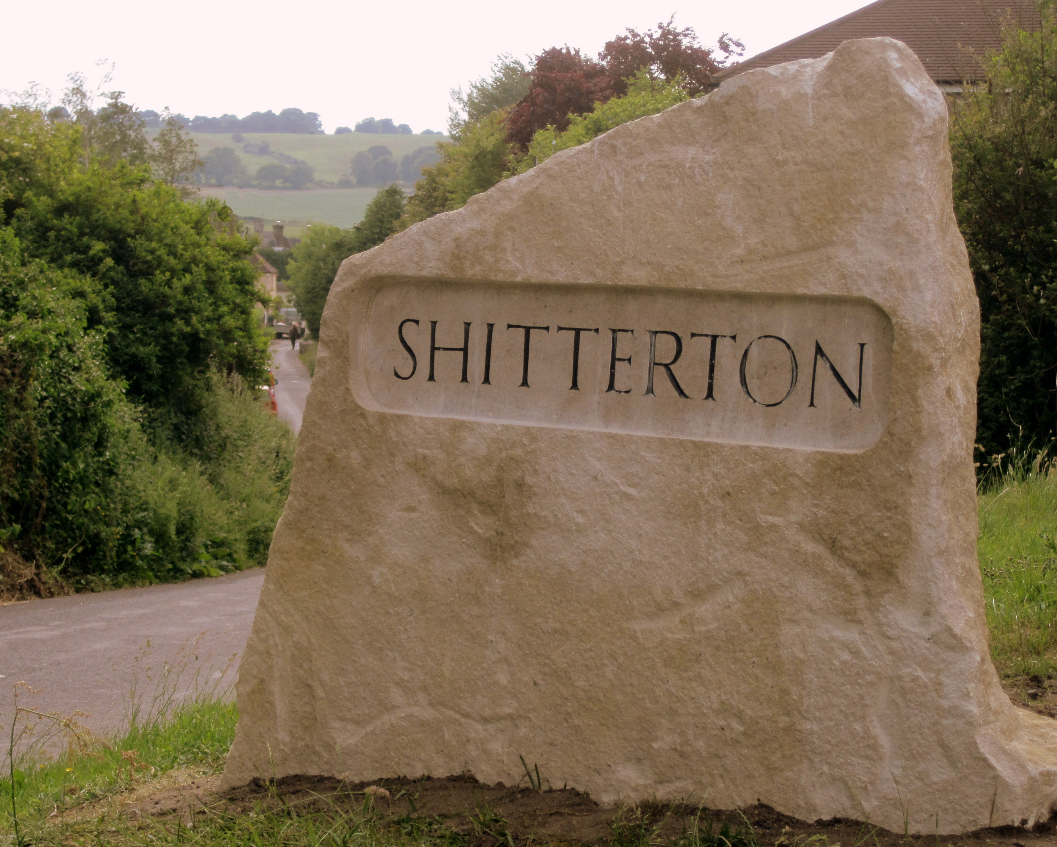
Shitterton
Shitterton is a hamlet in Bere Regis Dorset, England. It includes a collection of historic thatched buildings dating back to the 18th century and earlier...

Turners Puddle
Turners Puddle is a village and former civil parish, now in the parish of Affpuddle and Turnerspuddle, in the Dorset district, in the ceremonial county...
Bere Stream
Bere Stream (grid reference SY860926) is an 11.2 hectare biological Site of Special Scientific Interest in Dorset, notified in 1977. == Sources == English...

Briantspuddle
Briantspuddle is a small village in the Piddle Valley in Dorset, England, near the villages of Affpuddle and Tolpuddle and about 8 miles (13 km) east of...
Bloxworth House
Bloxworth House is a Grade I listed manor house just northwest of the village of Bloxworth in Dorset, England. It was built in 1608 by George Savage and...
Nearby Amenities
Located within 500m of 50.743767,-2.2165375Have you been to Spear's Coppice?
Leave your review of Spear's Coppice below (or comments, questions and feedback).