Barton Court
Settlement in Herefordshire
England
Barton Court
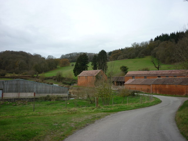
Barton Court is an exquisite country estate located in the picturesque region of Herefordshire, England. Situated amidst lush greenery and rolling hills, this historic property spans over 6,000 acres of idyllic countryside. The estate is renowned for its stunning Georgian architecture, boasting a grand manor house that has stood proudly since the 18th century.
The manor house at Barton Court is a striking example of Georgian design, featuring elegant symmetry, large sash windows, and a beautifully landscaped garden. The interiors exude opulence, with grand reception rooms, period furnishings, and intricate detailing throughout. The estate also includes several outbuildings, including a charming chapel and a range of converted cottages.
Surrounded by unspoiled natural beauty, Barton Court offers a peaceful retreat for visitors. The estate is home to a diverse range of flora and fauna, making it a haven for nature enthusiasts. The meandering River Wye flows through the grounds, providing a serene backdrop for leisurely walks or fishing trips.
In addition to its natural beauty, Barton Court offers a variety of outdoor activities for guests to enjoy. The estate boasts extensive parkland, perfect for picnics and outdoor games. There are also tennis courts, a swimming pool, and a private lake for boating and swimming.
Barton Court is an enchanting destination that seamlessly blends history, luxury, and natural beauty. Whether seeking a tranquil escape or an active outdoor adventure, this Herefordshire gem offers an unforgettable experience for all who visit.
If you have any feedback on the listing, please let us know in the comments section below.
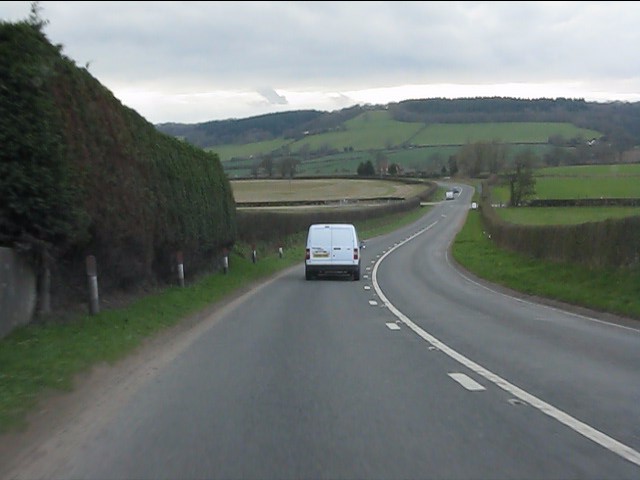
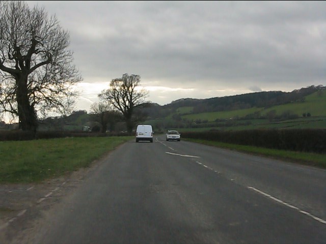
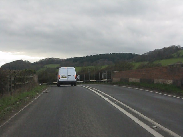
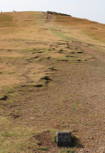
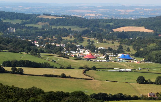
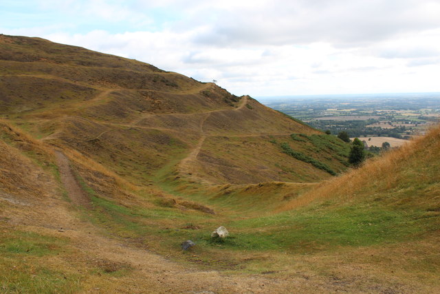
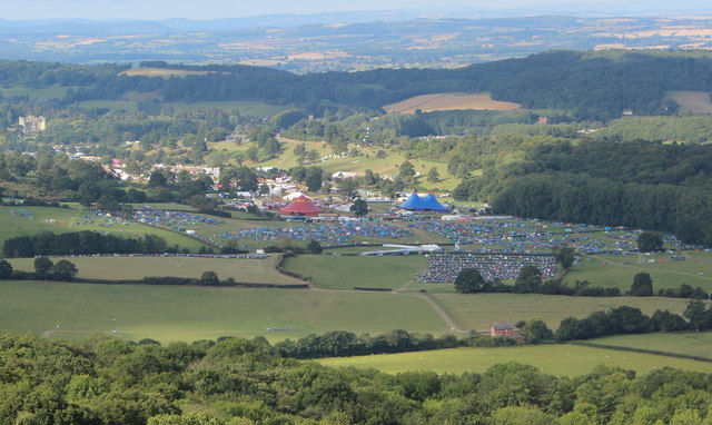
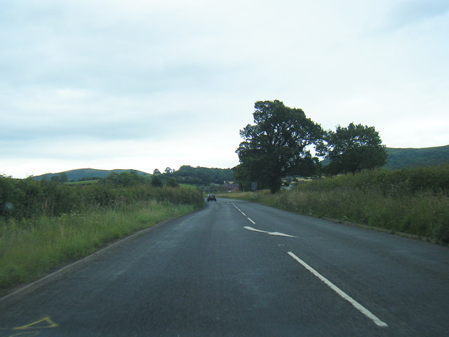
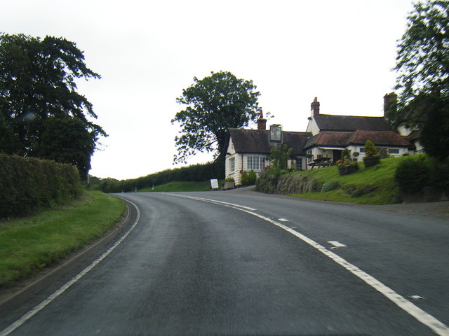
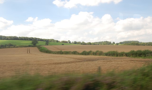
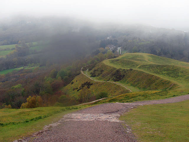
Barton Court Images
Images are sourced within 2km of 52.057766/-2.3806201 or Grid Reference SO7440. Thanks to Geograph Open Source API. All images are credited.

Barton Court is located at Grid Ref: SO7440 (Lat: 52.057766, Lng: -2.3806201)
Unitary Authority: County of Herefordshire
Police Authority: West Mercia
What 3 Words
///navigate.carry.revamping. Near Ledbury, Herefordshire
Nearby Locations
Related Wikis
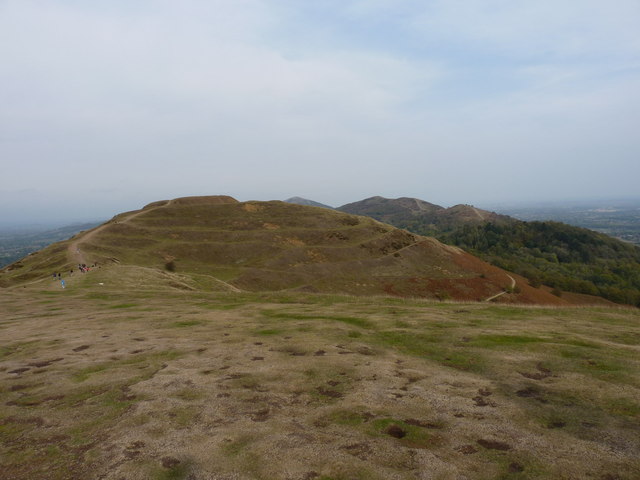
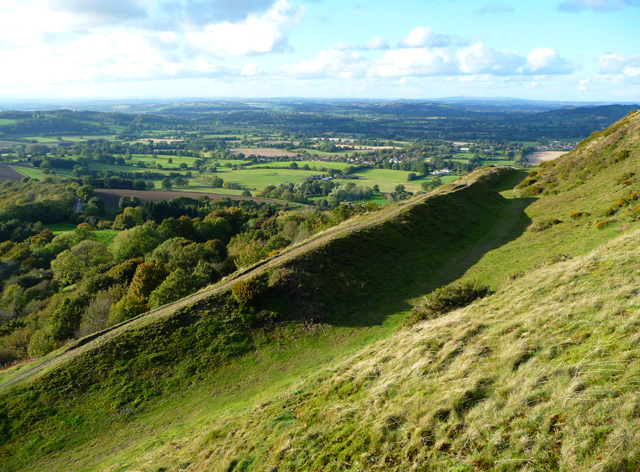
Herefordshire Beacon
The Herefordshire Beacon is one of the highest peaks of the Malvern Hills. It is surrounded by a British Iron Age hill fort earthwork known as British...

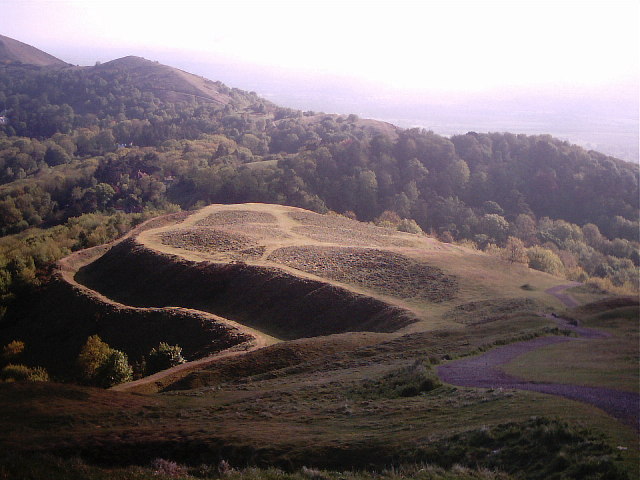
British Camp
British Camp is an Iron Age hill fort located at the top of Herefordshire Beacon in the Malvern Hills. The hill fort is protected as a Scheduled Ancient...

The Elms School, Colwall
The Elms School is a co-educational private boarding prep school located in Colwall, Herefordshire, England. Including the Early Years and Pre-Prep departments...

Electromagnetic Field (festival)
Electromagnetic Field (also known as EMF, or EMF Camp) is a camping festival in the UK, held every two years, for hackers, geeks, engineers and scientists...
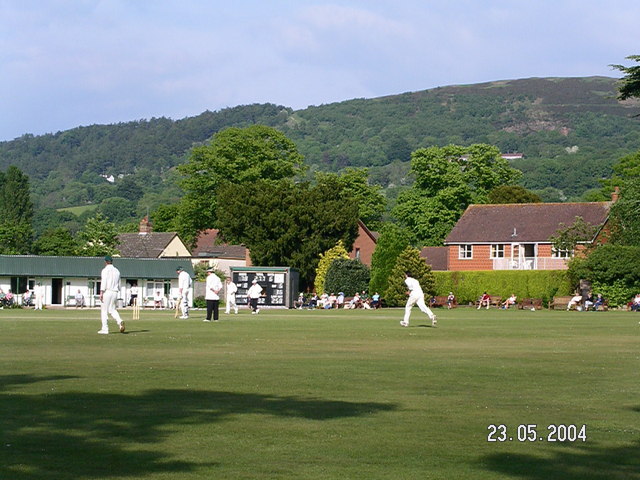
Stowe Lane
Stowe Lane is a cricket ground in Colwall, Herefordshire. The first recorded county match on the ground was in 1974, when the Worcestershire Second XI...

Hope End
Hope End is an area and former estate of Herefordshire, England, near the Malvern Hills, noted for its literary associations. As described by a 19th-century...
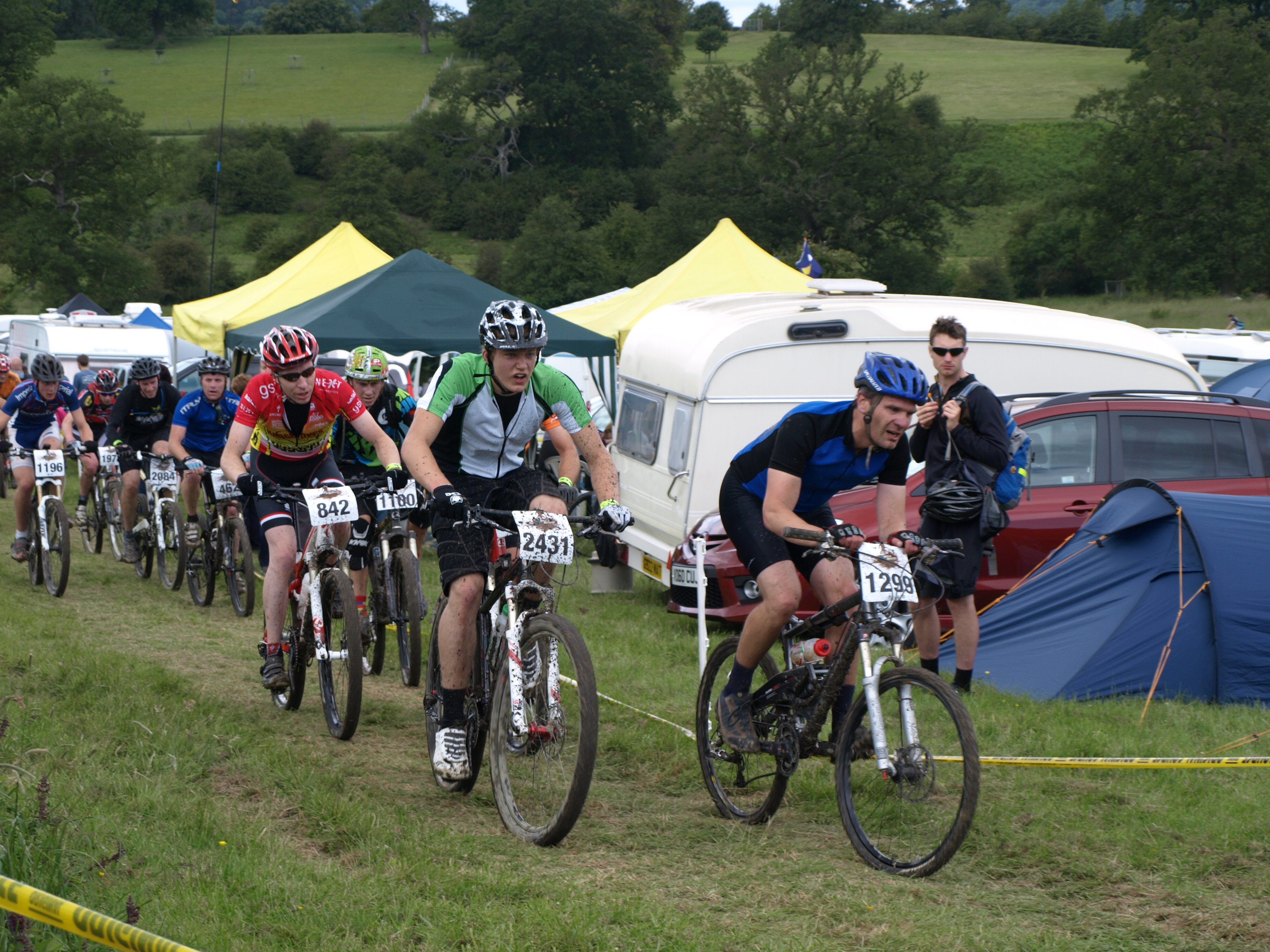
Mountain Mayhem
Mountain Mayhem is a 24-hour mountain bike race held in the UK. It has been held annually since 1998 and usually occurs on the weekend nearest to midsummer...

Colwall Park Racecourse
Colwall Park Racecourse was a British horse racing venue which operated from 1900 to 1939. It was known as one of England’s prettiest racecourses.The course...
Nearby Amenities
Located within 500m of 52.057766,-2.3806201Have you been to Barton Court?
Leave your review of Barton Court below (or comments, questions and feedback).