Gipsy Bottom
Valley in Essex Brentwood
England
Gipsy Bottom
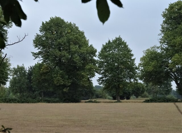
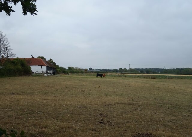
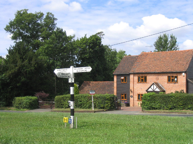
Gipsy Bottom, also known as Gipsy Valley, is a small village located in the county of Essex, England. Situated in the southeastern part of the country, it falls within the administrative district of Epping Forest. The village is nestled in a picturesque valley, surrounded by rolling hills and lush greenery.
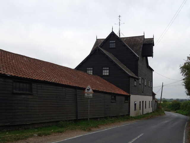
The history of Gipsy Bottom dates back several centuries, with evidence of human settlement found in the area. The village retains a charming rural character, with traditional thatched cottages and historic buildings dotting the landscape. The local community is tightly knit, and the village has a strong sense of community spirit.
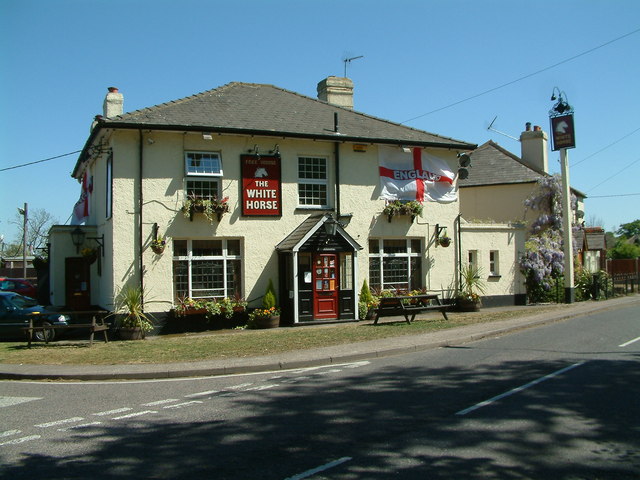
Despite its small size, Gipsy Bottom offers a range of amenities to its residents. These include a village hall, a primary school, and a local pub, providing gathering places for social interactions. The village is also home to a number of small businesses, including shops and local services, catering to the needs of the community.
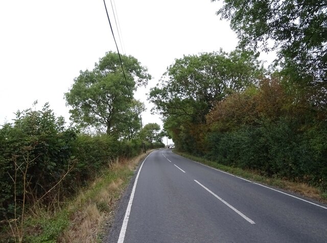
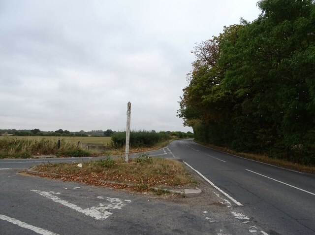
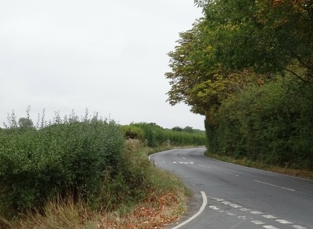
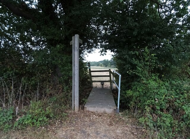
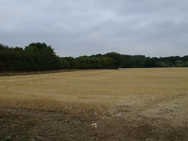
The surrounding countryside offers ample opportunities for outdoor activities, with a network of footpaths and trails for walking and hiking enthusiasts. The area is known for its beautiful scenery, attracting nature lovers and photographers alike.
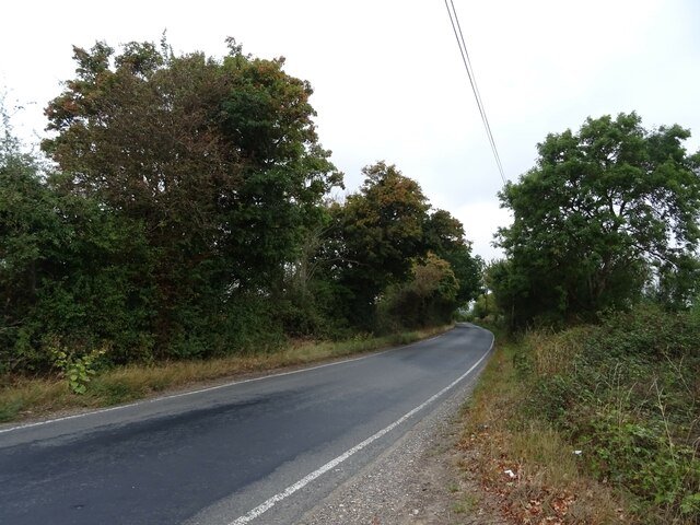
Gipsy Bottom benefits from its close proximity to larger towns and cities, with easy access to transportation links such as major roads and railway stations. This allows residents to enjoy the tranquility of village life while still having convenient access to urban amenities and employment opportunities.
In summary, Gipsy Bottom is a charming village in Essex, boasting a rich history, a close-knit community, and beautiful natural surroundings. It offers a peaceful and idyllic lifestyle for its residents, while still providing access to necessary amenities and transport connections.
If you have any feedback on the listing, please let us know in the comments section below.
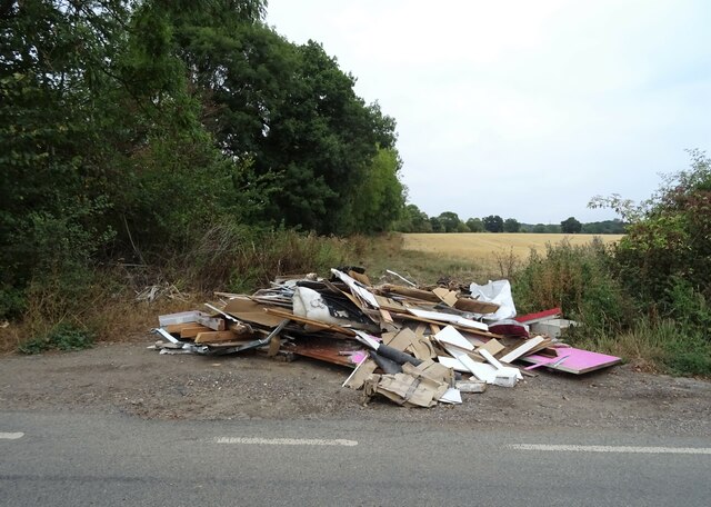
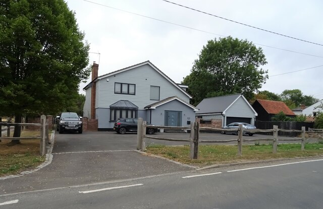
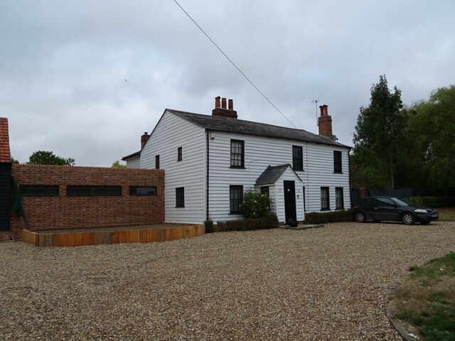
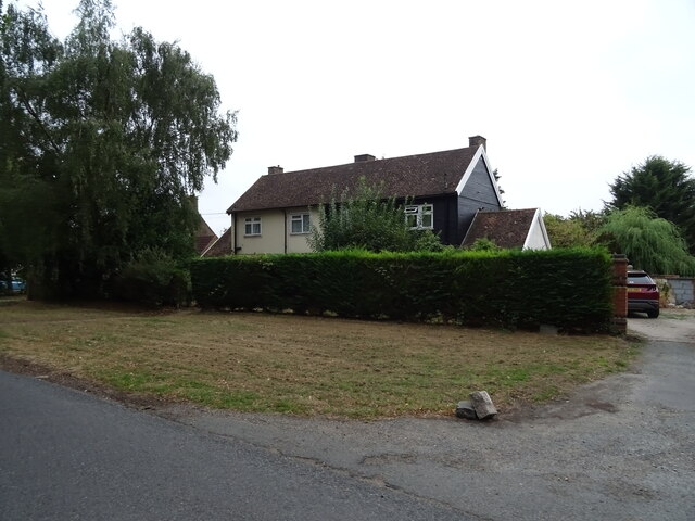
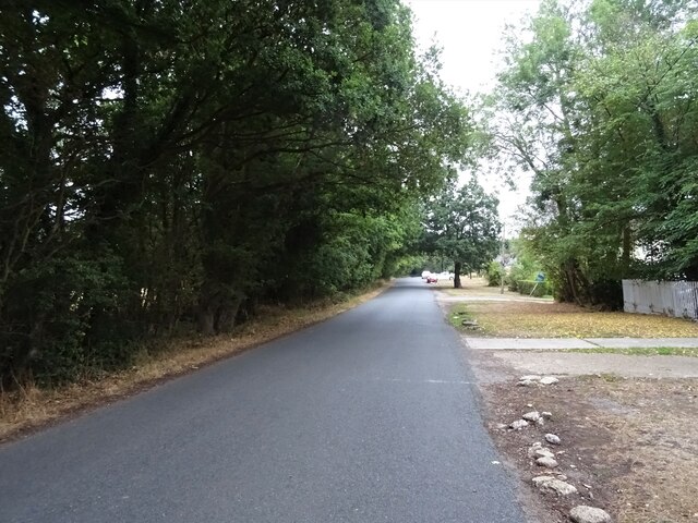
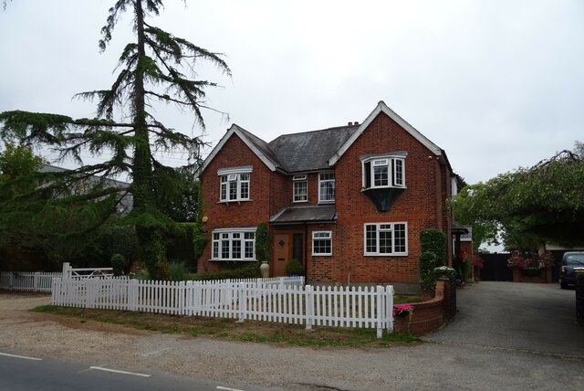
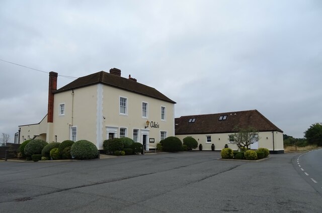
Gipsy Bottom Images
Images are sourced within 2km of 51.655051/0.24386657 or Grid Reference TQ5597. Thanks to Geograph Open Source API. All images are credited.


Gipsy Bottom is located at Grid Ref: TQ5597 (Lat: 51.655051, Lng: 0.24386657)
Administrative County: Essex
District: Brentwood
Police Authority: Essex
What 3 Words
///mock.deputy.metals. Near Kelvedon Hatch, Essex
Nearby Locations
Related Wikis

Abbotswick
Abbotswick (or Abbotswick Hall) at Navestock Side, in the English county of Essex, is a small country house standing in a well-timbered garden with a small...
Navestock Side
Navestock Side is a hamlet near the A128 road, in the Navestock civil parish of the Brentwood District, in the county of Essex, England. It is about three...

Navestock
Navestock is a civil parish in the Borough of Brentwood in south Essex, in the East of England region of the United Kingdom. It is located approximately...
Coxtie Green
Coxtie Green is a small settlement in the Borough of Brentwood in Essex, England.
Trinity School, Brentwood
Trinity School (formerly Peniel Academy) was an independent school in Essex, England. The school was located in Brentwood and was closely linked to Trinity...

Kelvedon Hatch Secret Nuclear Bunker
The Kelvedon Hatch Secret Nuclear Bunker at Kelvedon Hatch, in the Borough of Brentwood in the English county of Essex, is a large underground bunker maintained...

St Nicholas Church, Kelvedon Hatch
St Nicholas Church is the Church of England parish church in the Essex village of Kelvedon Hatch. It was first recorded around 1254, when the rectory of...
Trinity Church (Brentwood)
Trinity Church (formerly Peniel Pentecostal Church) is a church in Pilgrims Hatch in England. The church was founded by Michael Reid, who served as pastor...
Have you been to Gipsy Bottom?
Leave your review of Gipsy Bottom below (or comments, questions and feedback).