Hayward's Bottom
Valley in Sussex Wealden
England
Hayward's Bottom
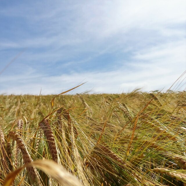
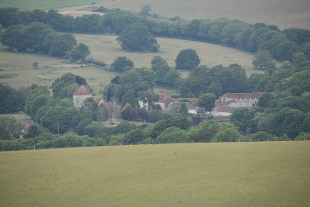
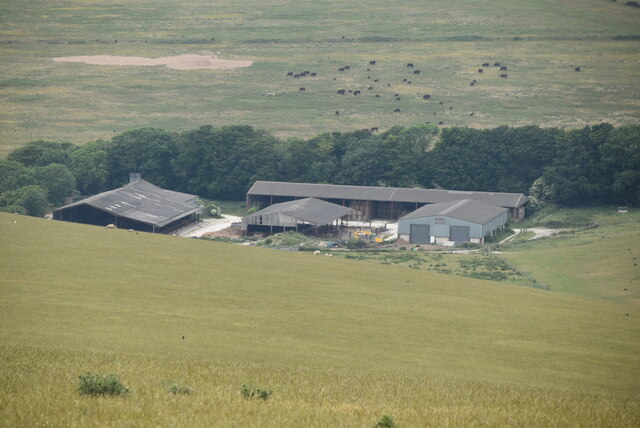
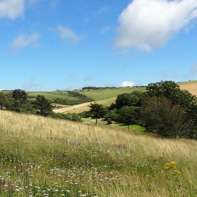
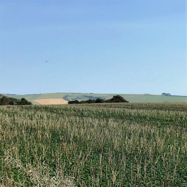
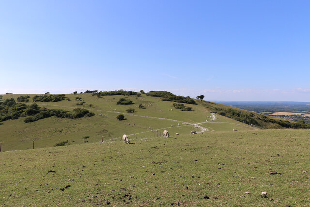
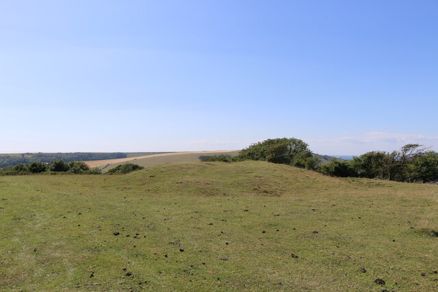
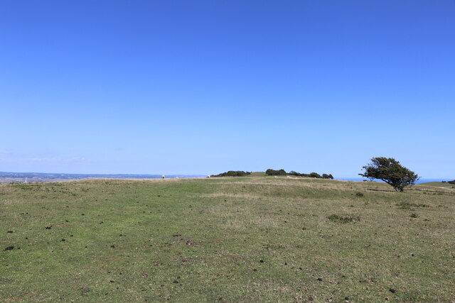
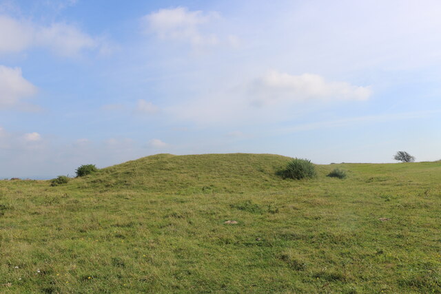
Hayward's Bottom is a small village located in the Wealden district of East Sussex, England. Situated in the picturesque countryside of the Sussex Weald, it lies in a valley known as Hayward's Bottom Valley, which gives the village its name. The village is surrounded by rolling hills, meandering streams, and lush green fields, offering a serene and tranquil atmosphere.
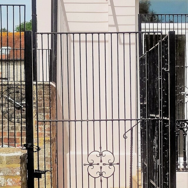
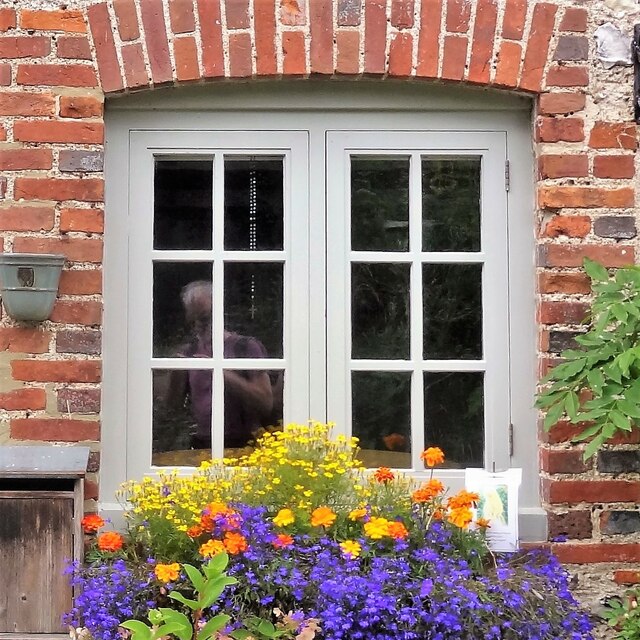
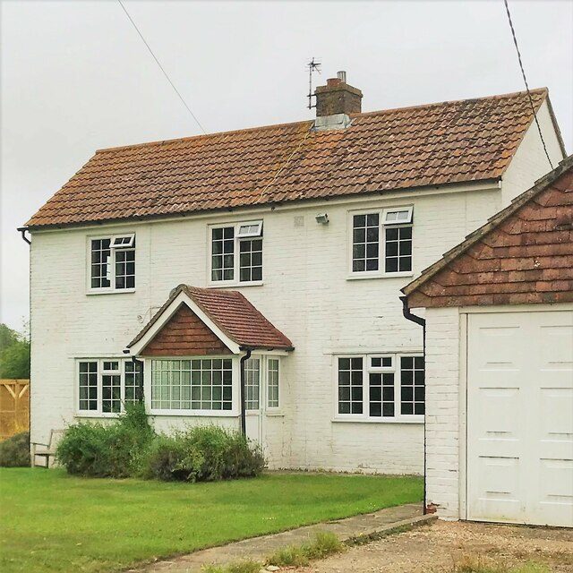
The settlement itself is relatively small, with a population of around 300 residents. It primarily consists of charming traditional cottages, some of which date back several centuries, showcasing the village's rich historical heritage. The architecture reflects the rural character of the area, with timber-framed buildings and thatched roofs adding to its quaint charm.
Hayward's Bottom is known for its strong sense of community and friendly residents. The village has a close-knit atmosphere and hosts regular social events and gatherings, bringing the locals together. The nearby parish church, St. Peter's, is a focal point for the community and adds to the village's cultural and historical significance.
The surrounding countryside offers ample opportunities for outdoor activities such as walking, cycling, and horse riding. Hayward's Bottom Valley is crisscrossed by footpaths and bridleways, allowing visitors to explore the stunning natural beauty of the area. The village also benefits from its proximity to larger towns and cities, with the historic town of Lewes and the coastal city of Brighton both within easy reach.
Overall, Hayward's Bottom is a charming and idyllic village, offering a peaceful retreat from the hustle and bustle of modern life. Its natural beauty, strong community spirit, and historical charm make it a desirable place to live or visit in Sussex.
If you have any feedback on the listing, please let us know in the comments section below.
Hayward's Bottom Images
Images are sourced within 2km of 50.799934/0.20667995 or Grid Reference TQ5502. Thanks to Geograph Open Source API. All images are credited.


Hayward's Bottom is located at Grid Ref: TQ5502 (Lat: 50.799934, Lng: 0.20667995)
Administrative County: East Sussex
District: Wealden
Police Authority: Sussex
What 3 Words
///daring.under.neck. Near Friston, East Sussex
Nearby Locations
Related Wikis
Wilmington Downs
Wilmington Downs is a 209.8-hectare (518-acre) biological Site of Special Scientific Interest north-west of Eastbourne in East Sussex. The site includes...

Folkington Reservoir
Folkington Reservoir is a 5.8-hectare (14-acre) biological Site of Special Scientific Interest south-west of Polegate in East Sussex.The banks of the reservoir...

Church of St Peter ad Vincula, Folkington
The Church of St Peter ad Vincula, Folkington, East Sussex is a parish church dating from the 13th century. Built of flint and rubble, it is a Grade I...

Folkington Manor
Folkington Manor (pronounced Fo'ington) is a grade II* listed country house situated in the village of Folkington two miles (3.2 km) west of Polegate,...
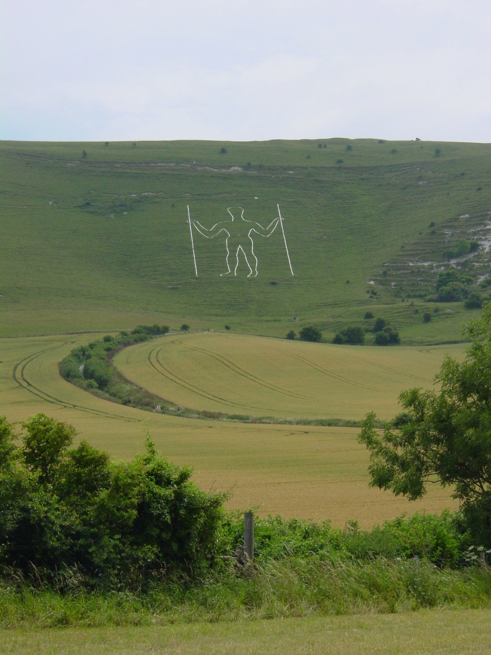
Long Man of Wilmington
The Long Man of Wilmington or Wilmington Giant is a hill figure on the steep slopes of Windover Hill near Wilmington, East Sussex, England. It is 6 miles...

Combe Hill, East Sussex
Combe Hill is a causewayed enclosure, near Eastbourne in East Sussex, on the northern edge of the South Downs. It consists of an inner circuit of ditches...

Lullington Heath
Lullington Heath is a 72.7-hectare (180-acre) biological Site of Special Scientific Interest west of Eastbourne in East Sussex. It is a national nature...
Willingdon Down
Willingdon Down is a 67.5-hectare (167-acre) biological Site of Special Scientific Interest west of Willingdon, a suburb of Eastbourne in East Sussex....
Have you been to Hayward's Bottom?
Leave your review of Hayward's Bottom below (or comments, questions and feedback).