Teddard's Bottom
Valley in Sussex Wealden
England
Teddard's Bottom
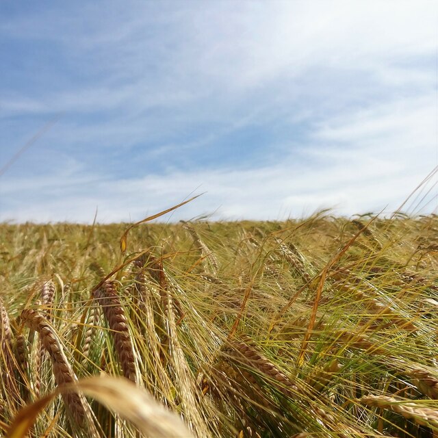
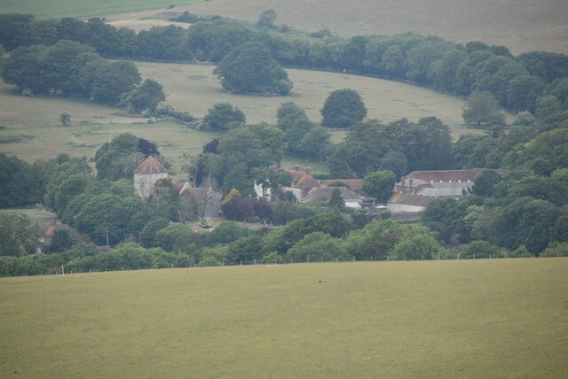
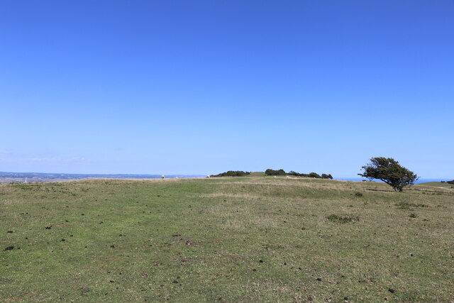
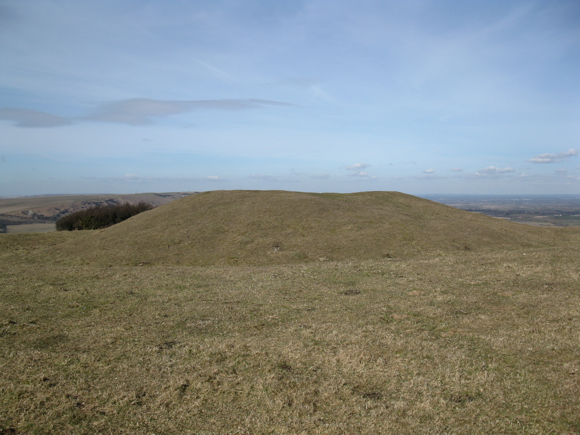
Teddard's Bottom is a quaint valley located in the county of Sussex, England. Nestled amidst the rolling hills, this picturesque area is renowned for its idyllic countryside charm and stunning natural beauty.
Situated near the village of Teddard, the Bottom is characterized by its lush green meadows, babbling brooks, and dense woodlands. The valley spans over several acres, providing a serene and tranquil environment for visitors and locals alike.
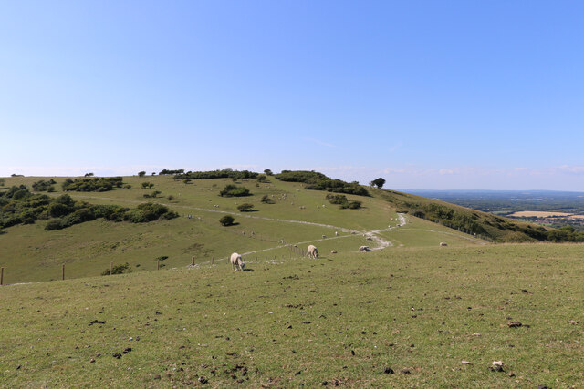
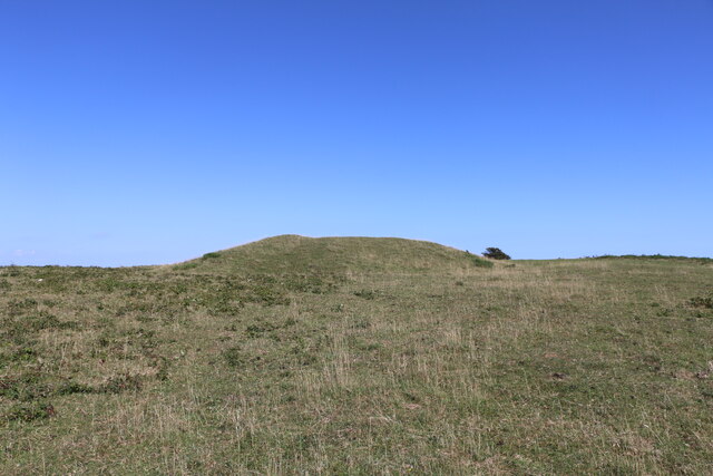
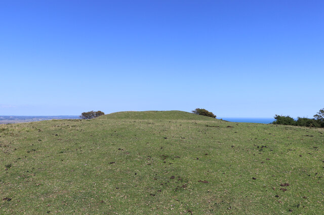
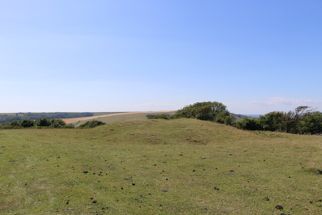
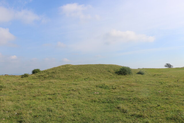
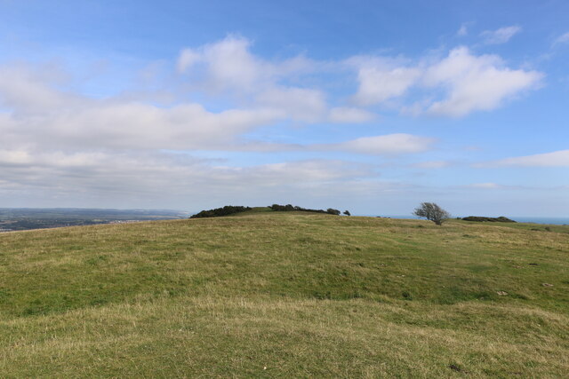
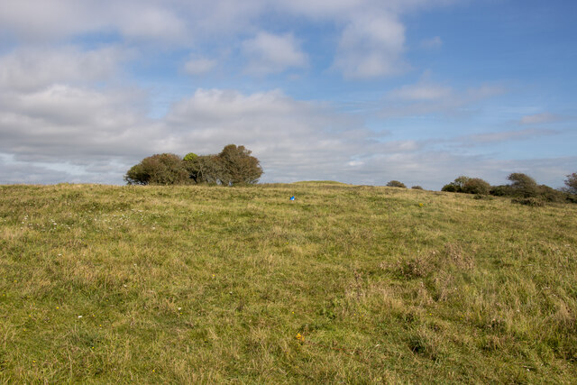
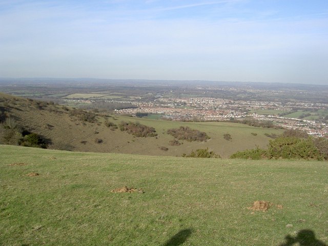
The landscape of Teddard's Bottom is varied and captivating. The valley boasts a gentle slope, which enhances its scenic appeal and offers breathtaking panoramic views. Tall and majestic oak trees dot the area, providing shade and a haven for various bird species.
The valley is also home to a diverse range of wildlife, including rabbits, deer, and foxes. Birdwatchers will be delighted to spot numerous species, such as blue tits, blackbirds, and robins, in their natural habitat.
Teddard's Bottom is a haven for outdoor enthusiasts. Hiking and walking trails meander through the valley, allowing visitors to immerse themselves in the surrounding beauty. The valley's meadows are perfect for picnics or simply relaxing and enjoying the tranquility.
The local community takes pride in preserving the natural heritage of Teddard's Bottom. Conservation efforts have helped maintain the valley's pristine condition and ensure its long-term sustainability.
In summary, Teddard's Bottom in Sussex is a charming and scenic valley, offering a peaceful retreat from the hustle and bustle of everyday life. Its natural beauty, diverse wildlife, and recreational opportunities make it an ideal destination for nature lovers and those seeking a tranquil escape.
If you have any feedback on the listing, please let us know in the comments section below.
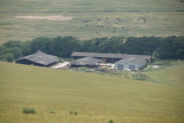
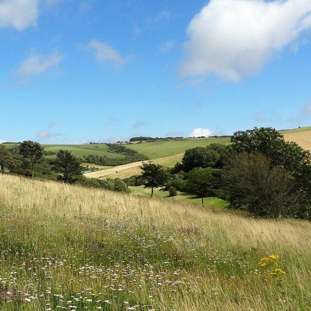
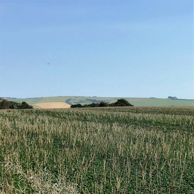
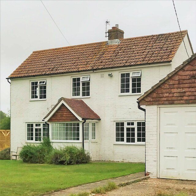
Teddard's Bottom Images
Images are sourced within 2km of 50.802205/0.21213758 or Grid Reference TQ5502. Thanks to Geograph Open Source API. All images are credited.


Teddard's Bottom is located at Grid Ref: TQ5502 (Lat: 50.802205, Lng: 0.21213758)
Administrative County: East Sussex
District: Wealden
Police Authority: Sussex
What 3 Words
///dogs.person.filled. Near Friston, East Sussex
Nearby Locations
Related Wikis

Folkington Reservoir
Folkington Reservoir is a 5.8-hectare (14-acre) biological Site of Special Scientific Interest south-west of Polegate in East Sussex.The banks of the reservoir...

Church of St Peter ad Vincula, Folkington
The Church of St Peter ad Vincula, Folkington, East Sussex is a parish church dating from the 13th century. Built of flint and rubble, it is a Grade I...

Folkington Manor
Folkington Manor (pronounced Fo'ington) is a grade II* listed country house situated in the village of Folkington two miles (3.2 km) west of Polegate,...

Combe Hill, East Sussex
Combe Hill is a causewayed enclosure, near Eastbourne in East Sussex, on the northern edge of the South Downs. It consists of an inner circuit of ditches...
Wilmington Downs
Wilmington Downs is a 209.8-hectare (518-acre) biological Site of Special Scientific Interest north-west of Eastbourne in East Sussex. The site includes...
Willingdon Down
Willingdon Down is a 67.5-hectare (167-acre) biological Site of Special Scientific Interest west of Willingdon, a suburb of Eastbourne in East Sussex....
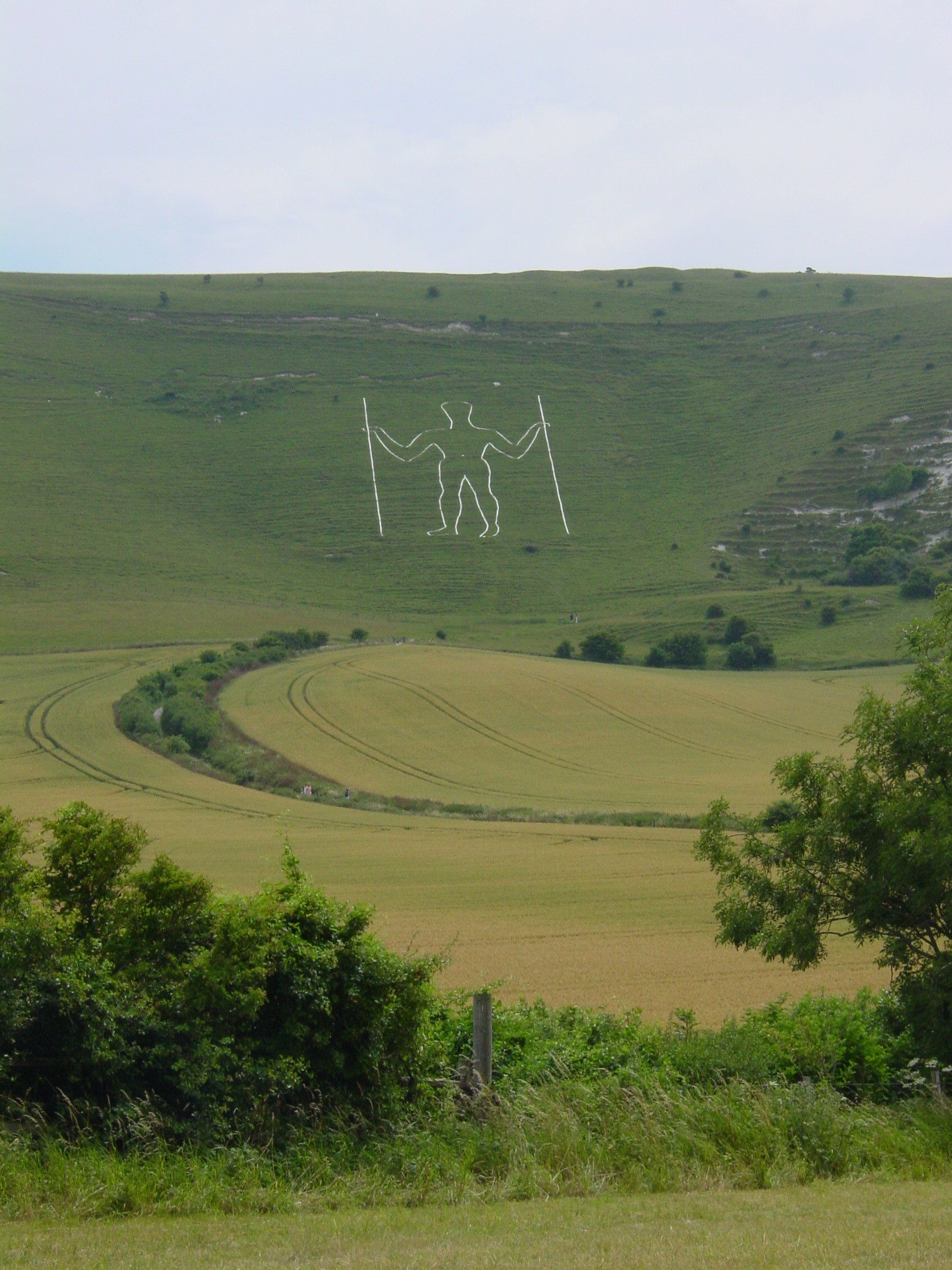
Long Man of Wilmington
The Long Man of Wilmington or Wilmington Giant is a hill figure on the steep slopes of Windover Hill near Wilmington, East Sussex, England. It is 6 miles...
Willingdon Community School
Willingdon Community School is an 11–16 coeducational secondary school located in the Lower Willingdon area of Eastbourne in the English county of East...
Nearby Amenities
Located within 500m of 50.802205,0.21213758Have you been to Teddard's Bottom?
Leave your review of Teddard's Bottom below (or comments, questions and feedback).