Smithfield Bottom

Valley in Essex Uttlesford

England

Smithfield Bottom

Debden Bridle Path This bridle path runs to the south of the former Debden Aerodrome. Hedges and earth banks prevented any sight of the field but judging from the row at least part of the airfield is now used for (go)carting
Debden Bridle Path Credit: Glyn Baker

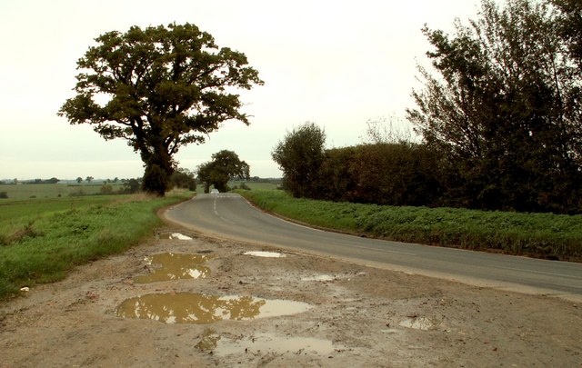
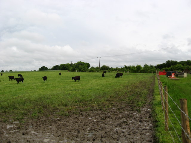
Smithfield Bottom, also known as Valley, is a small village located in the county of Essex in England. Situated in the southeastern part of the county, it is nestled within the picturesque countryside, surrounded by rolling hills and lush green fields.

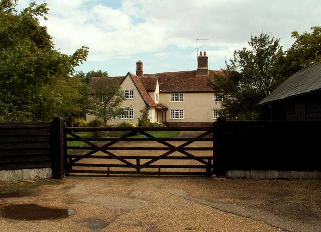
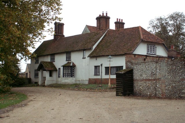
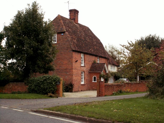
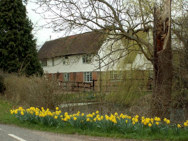
The village is home to a close-knit community of approximately 300 residents. The architecture of Smithfield Bottom reflects its historical significance, with many traditional timber-framed buildings dating back several centuries. The village center is characterized by a quaint, village green, where locals often gather for community events and festivities.

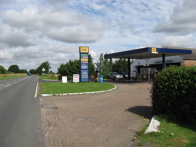
Despite its small size, Smithfield Bottom offers a range of amenities to its residents. The village boasts a primary school, a post office, and a local convenience store, providing essential services to the community. Additionally, the village is well-served by public transportation, with regular bus services connecting it to nearby towns and cities.

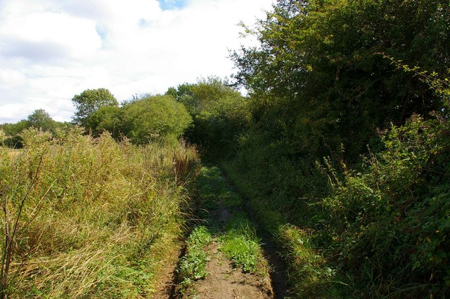
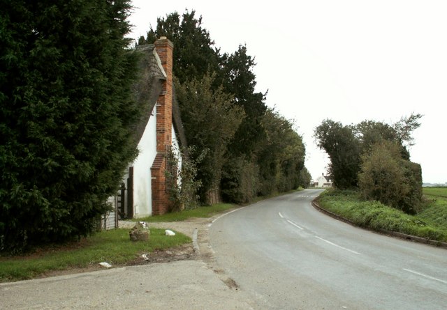
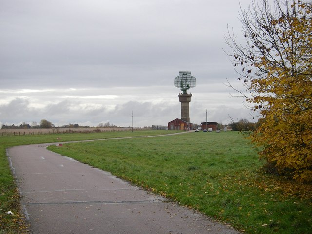
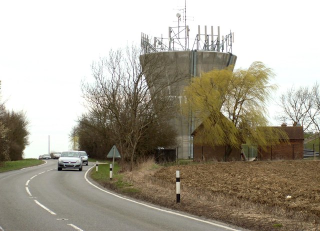
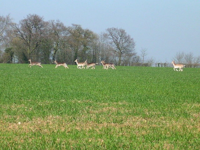
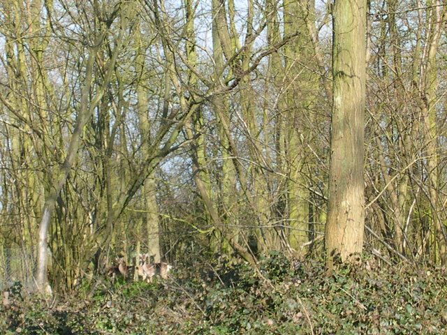
Nature lovers will appreciate the stunning surroundings of Smithfield Bottom. The village is located near several nature reserves and designated areas of natural beauty, offering ample opportunities for hiking, cycling, and wildlife spotting. The nearby river provides a peaceful setting for fishing and boating enthusiasts.

Overall, Smithfield Bottom, Essex (Valley) is a charming village that combines historical charm with a peaceful rural setting. Its close-knit community, picturesque countryside, and range of amenities make it an attractive place to live for those seeking a quieter pace of life.

If you have any feedback on the listing, please let us know in the comments section below.

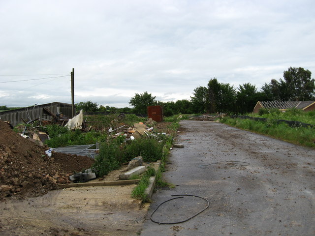
Smithfield Bottom Images

Images are sourced within 2km of 51.998274/0.27139383 or Grid Reference TL5635. Thanks to Geograph Open Source API. All images are credited.

Debden Bridle Path This bridle path runs to the south of the former Debden Aerodrome. Hedges and earth banks prevented any sight of the field but judging from the row at least part of the airfield is now used for (go)carting
Debden Bridle Path
This bridle path runs to the south of the former Debden Aerodrome. Hedges and earth banks prevented any sight of the field but judging from the row at least part of the airfield is now used for (go)carting
Carver Barracks nee RAF Debden This is Carver Barracks it occupies the site of the former RAF Debden. It became operational in April of 1937. It was a sector airfield of 12 Group during the Battle of Britain and was home to one of the "Eagle Squadrons" of American volunteer RAF pilots. The RAF vacated and USAAF took up residence in 1942. The base remained in RAF service until 1975. As can be guessed from the photo the 33rd Engineer Regiment now in residence are concerned with bomb disposal. To go to the next field in an alphabetical tour of Essex WW2 airfields click on <a href="https://www.geograph.org.uk/photo/149989">TL8427 : Earls Colne Airfield</a>. Much information was gleaned from Graham Smith’s book “Essex Airfields In The Second World War”.
<span class="nowrap"><a title="https://books.google.co.uk/books/about/Essex_Airfields_in_the_Second_World_War.html?id=u3atAAAACAAJ&redir_esc=y" rel="nofollow ugc noopener" href="https://books.google.co.uk/books/about/Essex_Airfields_in_the_Second_World_War.html?id=u3atAAAACAAJ&redir_esc=y">Link</a><img style="margin-left:2px;" alt="External link" title="External link - shift click to open in new window" src="https://s1.geograph.org.uk/img/external.png" width="10" height="10"/></span>
Carver Barracks nee RAF Debden
This is Carver Barracks it occupies the site of the former RAF Debden. It became operational in April of 1937. It was a sector airfield of 12 Group during the Battle of Britain and was home to one of the "Eagle Squadrons" of American volunteer RAF pilots. The RAF vacated and USAAF took up residence in 1942. The base remained in RAF service until 1975. As can be guessed from the photo the 33rd Engineer Regiment now in residence are concerned with bomb disposal. To go to the next field in an alphabetical tour of Essex WW2 airfields click on TL8427 : Earls Colne Airfield. Much information was gleaned from Graham Smith’s book “Essex Airfields In The Second World War”. LinkExternal link
Thunderley Parsonage Farmhouse, Cole End, Essex
Debden Road looking towards Saffron Walden, Essex
Farmhouse at The Roos
Debden Road at Purton End
Junction where Debden Road meets Water Lane
Farmhouse at Burnt House Farm
Debden Radar A site chosen to dominate the local landscape - and it does!
Debden Radar
A site chosen to dominate the local landscape - and it does!
Bears Hall This stands along Cole End Lane, just south of Sewards End.
Bears Hall
This stands along Cole End Lane, just south of Sewards End.
Water tower along the B.184 This is the view seen heading towards Saffron Walden.
Water tower along the B.184
This is the view seen heading towards Saffron Walden.
Oh Deer! A bit camera shy.  This picture was taken just after the "Bunch of Deer" picture
Oh Deer!
A bit camera shy. This picture was taken just after the "Bunch of Deer" picture
Bunch of Deer Good eye?
Bunch of Deer
Good eye?
Industrial site at Veermans Park There used to be a lovely little glasshouse nursery and garden centre here but it has been bulldozed and the site is being 'developed' for light industrial units. Such is the inexorable march of progress.
Industrial site at Veermans Park
There used to be a lovely little glasshouse nursery and garden centre here but it has been bulldozed and the site is being 'developed' for light industrial units. Such is the inexorable march of progress.
Pastoral scene at Cole End Farm Nice to see some grazing in this area; a relief from the seemingly endless fields of cereals and oilseed-rape.
Pastoral scene at Cole End Farm
Nice to see some grazing in this area; a relief from the seemingly endless fields of cereals and oilseed-rape.
Brooklands Garage Garage and filling station opposite Carver Barracks, Wimbish
Brooklands Garage
Garage and filling station opposite Carver Barracks, Wimbish
Civic Amenity Site This is part of the new Civic Amenity site, or what used to be known as a Tip. It replaces a very cramped site a short distance away.
Civic Amenity Site
This is part of the new Civic Amenity site, or what used to be known as a Tip. It replaces a very cramped site a short distance away.
Brooklands Garage on B184
Show me another place!

Smithfield Bottom is located at Grid Ref: TL5635 (Lat: 51.998274, Lng: 0.27139383)

Administrative County: Essex

District: Uttlesford

Police Authority: Essex

What 3 Words

///remainder.savers.organic. Near Saffron Walden, Essex

Related Wikis

RAF Debden

Royal Air Force Debden or more simply RAF Debden is a former Royal Air Force station located 3 miles (4.8 km) southeast of Saffron Walden and approximately...
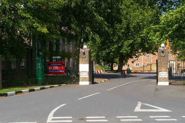
Carver Barracks

Carver Barracks is a British Army base on the former site of RAF Debden, approximately 1 mile north of the village of Debden, in Essex. The nearest town...

Debden Windmill

Debden Windmill is a grade II listed Tower mill at Debden, Essex, England which has been converted to residential use. == History == Debden Windmill was...

Debden, Uttlesford

Debden is a small rural village in the Uttlesford district of Essex in the East of England. It is located 4 miles (6 km) from Saffron Walden and 17 miles...

Debden Hall, Uttlesford

There was another Debden Hall in Essex, in Epping ForestDebden Hall was a country house in the north-west of the county of Essex, in England. It was demolished...

Sewards End

Sewards End is a village and civil parish in the Uttlesford district of Essex, England. Its area is 1211 acres. It is set in the rolling countryside...

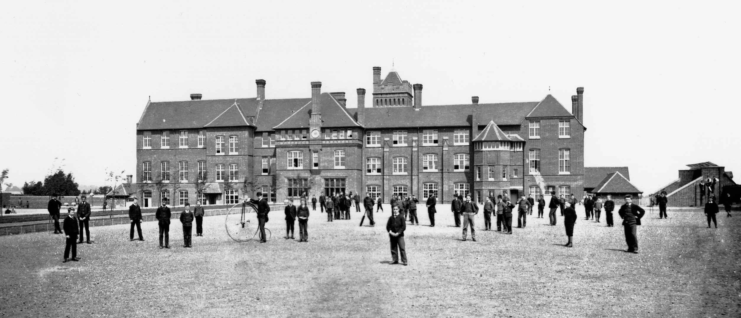
Friends' School, Saffron Walden

Friends' School (known as Walden School from 2016–17) was a Quaker independent school located in Saffron Walden, Essex, situated approximately 12 miles...

Audley End Airfield

Audley End Airfield is located to the south west of Saffron Walden near to Saffron Walden County High School in the Uttlesford district of Essex, England...

Have you been to Smithfield Bottom?

Leave your review of Smithfield Bottom below (or comments, questions and feedback).