Holt Bottom
Valley in Sussex Wealden
England
Holt Bottom
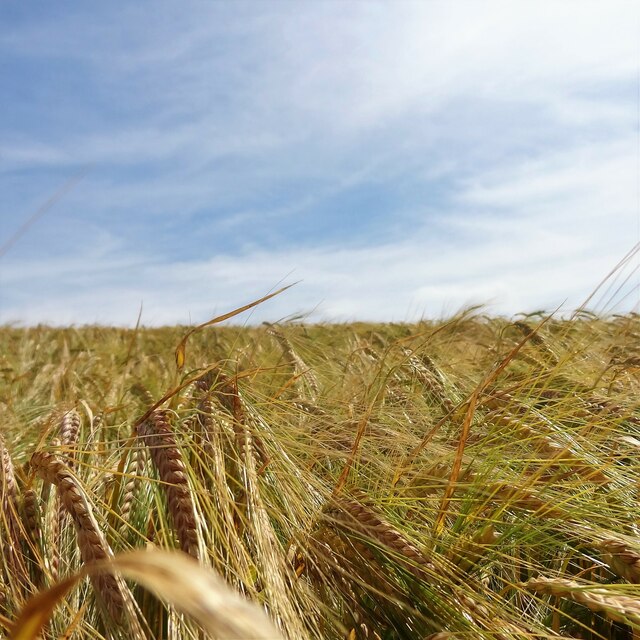
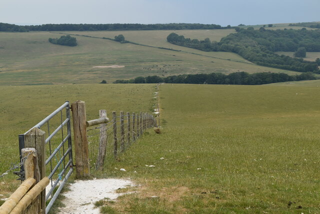
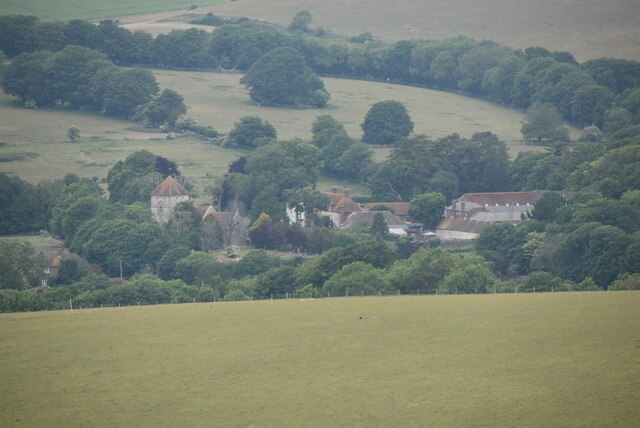
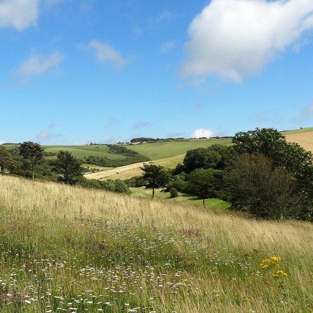
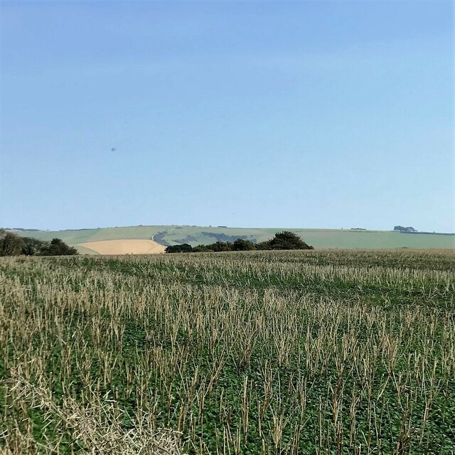
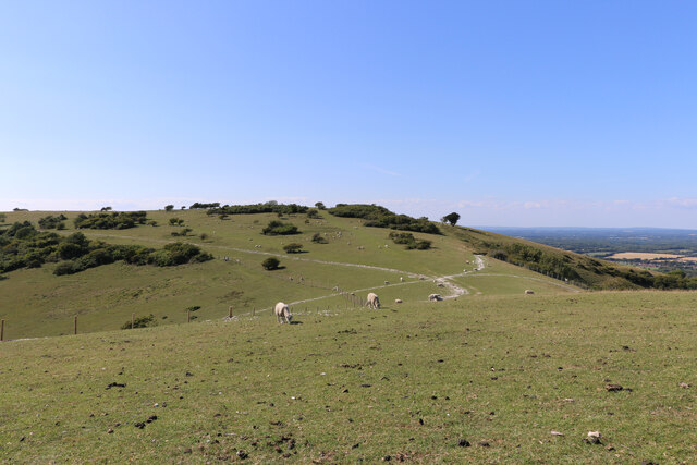
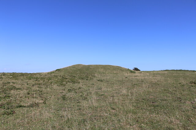
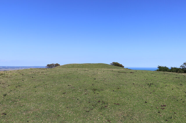
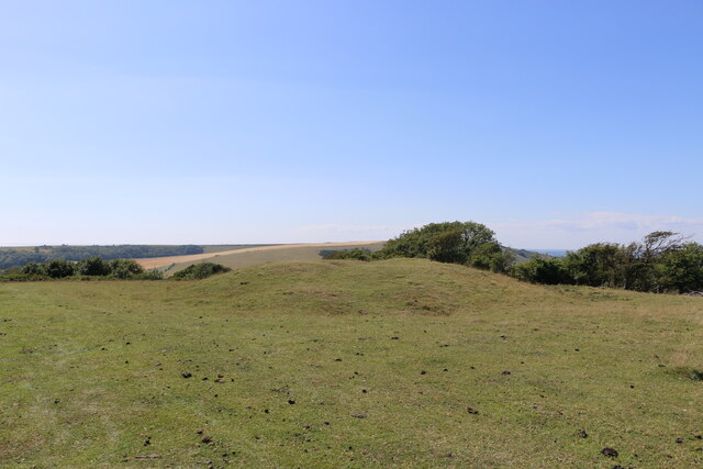
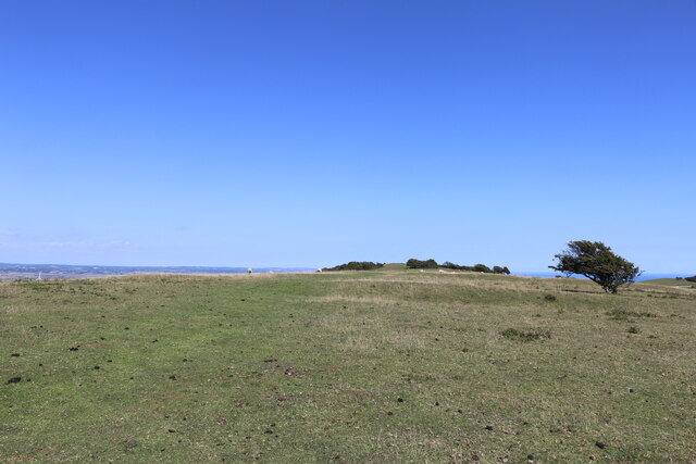
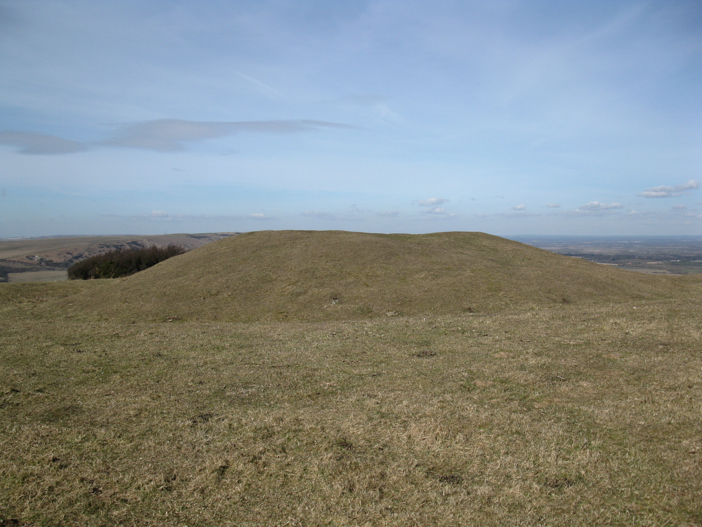
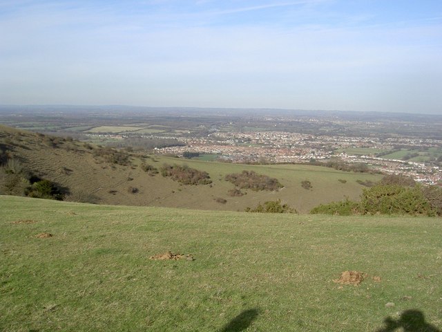
Holt Bottom, located in Sussex County, England, is a picturesque valley that offers a serene and idyllic setting for nature lovers and outdoor enthusiasts. Nestled between rolling hills and surrounded by lush greenery, Holt Bottom is renowned for its stunning natural beauty and tranquil atmosphere.
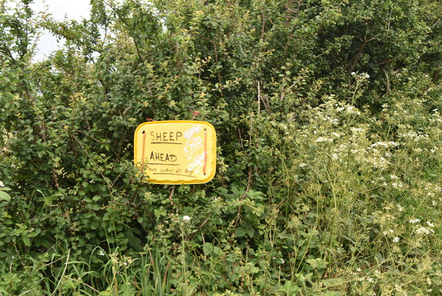
The valley is characterized by its meandering river, which carves its way through the landscape, creating a series of small waterfalls and pools along its course. The river provides a habitat for a diverse range of plant and animal species, making Holt Bottom a haven for wildlife enthusiasts and birdwatchers.
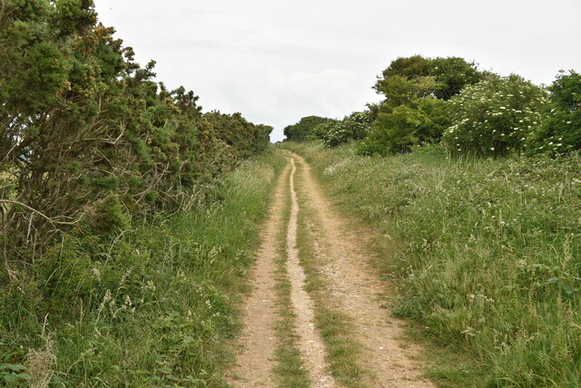
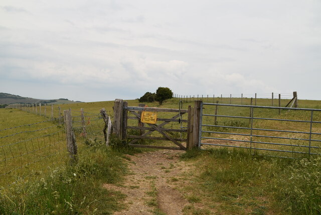
The valley is also home to several walking trails and hiking routes, allowing visitors to explore its enchanting surroundings. The trails wind through ancient woodlands, meadows bursting with wildflowers, and offer breathtaking views of the valley from elevated viewpoints.
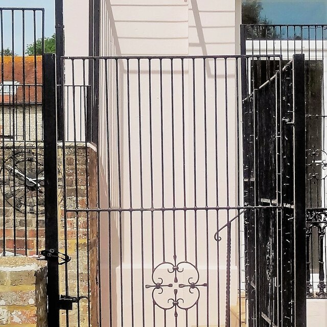
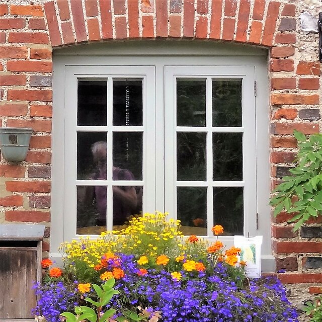
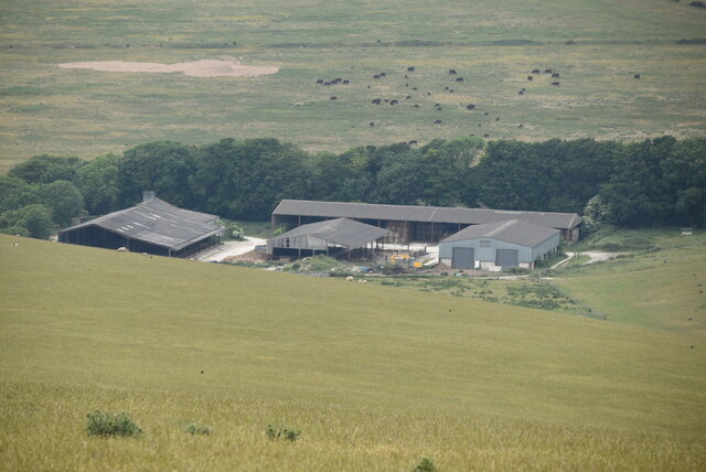
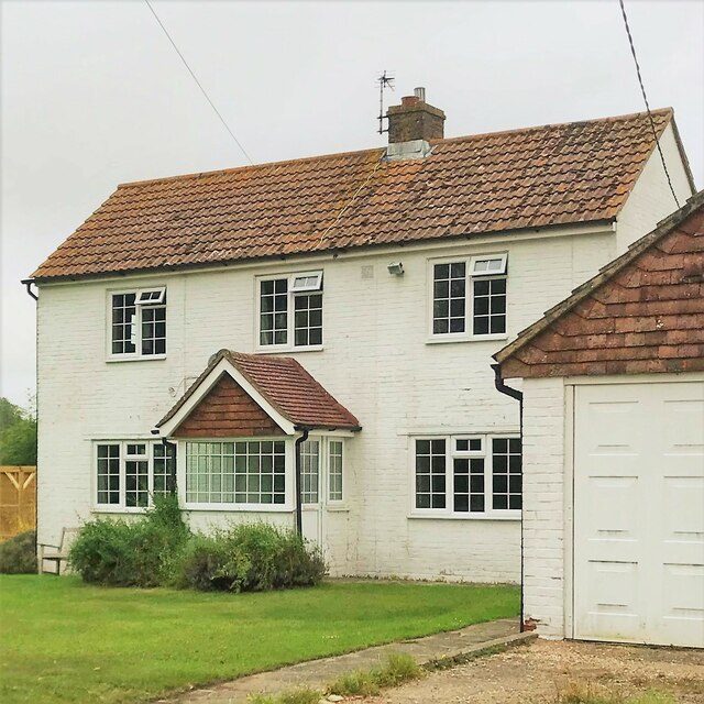
Holt Bottom is steeped in history, with several historic landmarks scattered throughout the area. The ruins of an old mill can still be seen, serving as a reminder of the valley's industrial past. Additionally, the valley is dotted with charming cottages and farmhouses, showcasing traditional Sussex architecture.
For those seeking a peaceful retreat away from the hustle and bustle of city life, Holt Bottom offers a perfect escape. Its stunning natural landscapes, diverse wildlife, and rich history make it a truly captivating destination for visitors of all ages.
If you have any feedback on the listing, please let us know in the comments section below.
Holt Bottom Images
Images are sourced within 2km of 50.797087/0.21071803 or Grid Reference TQ5502. Thanks to Geograph Open Source API. All images are credited.

Holt Bottom is located at Grid Ref: TQ5502 (Lat: 50.797087, Lng: 0.21071803)
Administrative County: East Sussex
District: Wealden
Police Authority: Sussex
What 3 Words
///scale.hoping.excuse. Near Friston, East Sussex
Nearby Locations
Related Wikis

Folkington Reservoir
Folkington Reservoir is a 5.8-hectare (14-acre) biological Site of Special Scientific Interest south-west of Polegate in East Sussex.The banks of the reservoir...

Combe Hill, East Sussex
Combe Hill is a causewayed enclosure, near Eastbourne in East Sussex, on the northern edge of the South Downs. It consists of an inner circuit of ditches...

Church of St Peter ad Vincula, Folkington
The Church of St Peter ad Vincula, Folkington, East Sussex is a parish church dating from the 13th century. Built of flint and rubble, it is a Grade I...
Wilmington Downs
Wilmington Downs is a 209.8-hectare (518-acre) biological Site of Special Scientific Interest north-west of Eastbourne in East Sussex. The site includes...
Willingdon Down
Willingdon Down is a 67.5-hectare (167-acre) biological Site of Special Scientific Interest west of Willingdon, a suburb of Eastbourne in East Sussex....

Folkington Manor
Folkington Manor (pronounced Fo'ington) is a grade II* listed country house situated in the village of Folkington two miles (3.2 km) west of Polegate,...
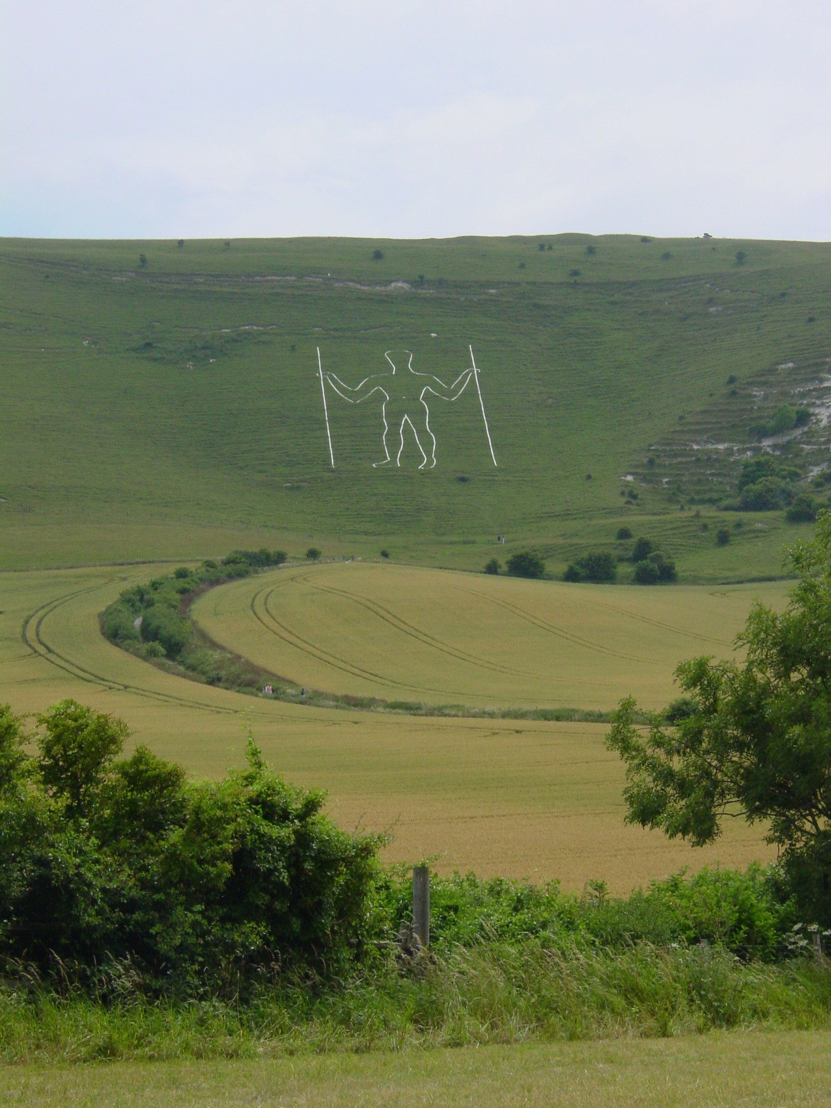
Long Man of Wilmington
The Long Man of Wilmington or Wilmington Giant is a hill figure on the steep slopes of Windover Hill near Wilmington, East Sussex, England. It is 6 miles...
More Radio Eastbourne
More Radio Eastbourne, formerly Sovereign FM, is an Independent Local Radio station serving Eastbourne, Hailsham, Polegate and surrounding areas. It is...
Nearby Amenities
Located within 500m of 50.797087,0.21071803Have you been to Holt Bottom?
Leave your review of Holt Bottom below (or comments, questions and feedback).