Upper Boishall Wood
Wood, Forest in Essex Brentwood
England
Upper Boishall Wood
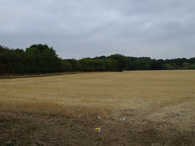
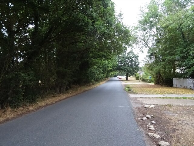
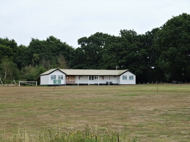
Upper Boishall Wood is a peaceful and picturesque woodland located in the county of Essex, England. Situated in the rural village of Boishall, the wood covers an area of approximately 50 acres and is part of a larger forested area.
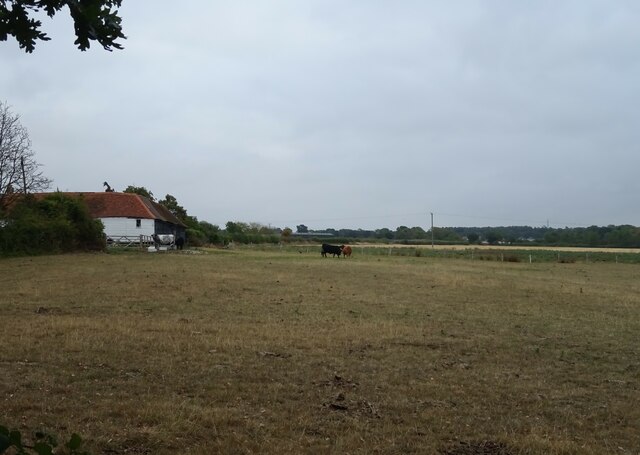
The wood is primarily composed of native deciduous trees, including oak, beech, and ash, which provide a rich and diverse habitat for various wildlife species. The dense canopy of the trees creates a cool and shaded environment, perfect for a leisurely walk or a relaxing picnic.
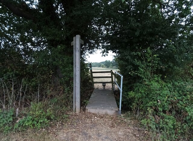
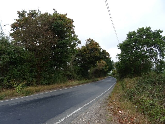
Visitors to Upper Boishall Wood can enjoy a network of well-maintained footpaths that meander through the woodland, allowing them to explore the natural beauty at their own pace. These paths are suitable for all levels of walkers, making it an ideal location for families and nature enthusiasts alike.
Wildlife enthusiasts will be delighted to discover a wide range of flora and fauna within the wood. The forest is home to a variety of bird species, including woodpeckers, owls, and various songbirds. Additionally, sightings of deer, rabbits, and squirrels are common, adding to the charm and tranquility of the area.
Upper Boishall Wood offers a serene escape from the hustle and bustle of everyday life. Whether you are seeking a peaceful stroll, a chance to reconnect with nature, or an opportunity to observe wildlife in their natural habitat, this woodland provides a perfect retreat in the heart of Essex.
If you have any feedback on the listing, please let us know in the comments section below.
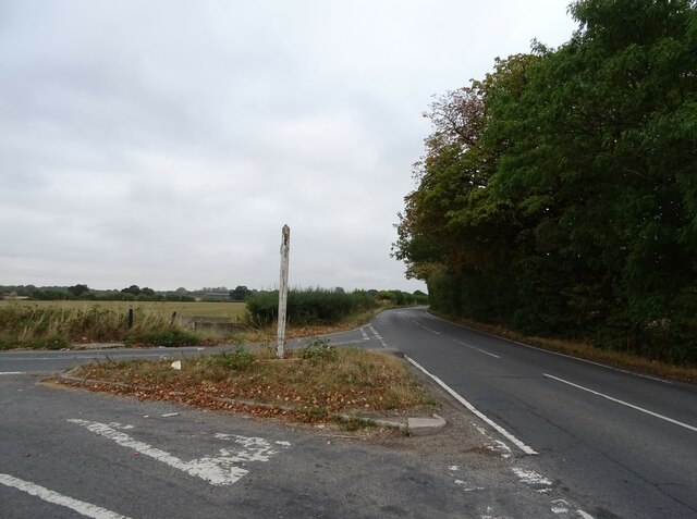
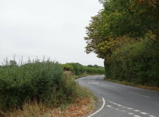
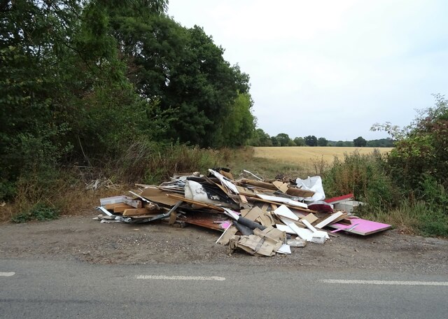
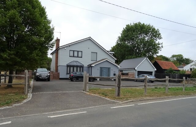
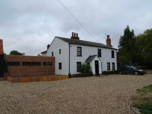
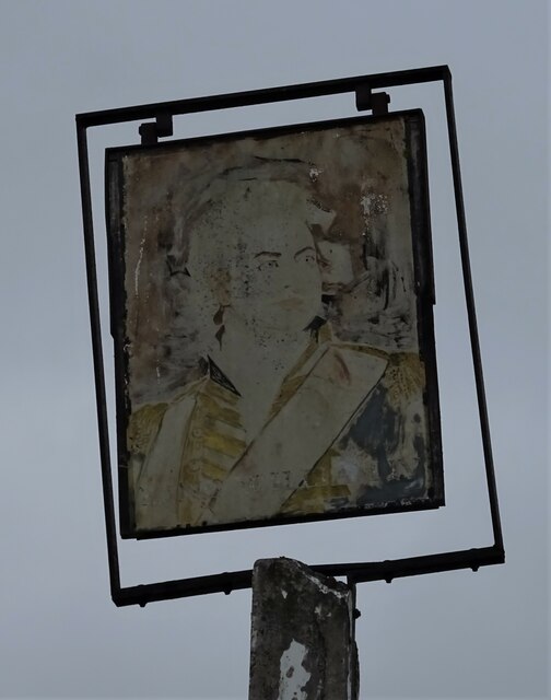
Upper Boishall Wood Images
Images are sourced within 2km of 51.657902/0.24809922 or Grid Reference TQ5597. Thanks to Geograph Open Source API. All images are credited.

Upper Boishall Wood is located at Grid Ref: TQ5597 (Lat: 51.657902, Lng: 0.24809922)
Administrative County: Essex
District: Brentwood
Police Authority: Essex
What 3 Words
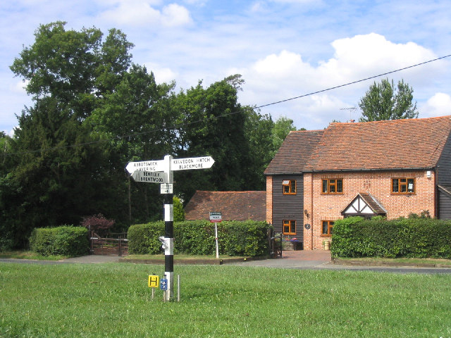
///foster.mull.chips. Near Kelvedon Hatch, Essex
Nearby Locations
Related Wikis

Abbotswick
Abbotswick (or Abbotswick Hall) at Navestock Side, in the English county of Essex, is a small country house standing in a well-timbered garden with a small...
Navestock Side
Navestock Side is a hamlet near the A128 road, in the Navestock civil parish of the Brentwood District, in the county of Essex, England. It is about three...

Navestock
Navestock is a civil parish in the Borough of Brentwood in south Essex, in the East of England region of the United Kingdom. It is located approximately...
Trinity School, Brentwood
Trinity School (formerly Peniel Academy) was an independent school in Essex, England. The school was located in Brentwood and was closely linked to Trinity...

Kelvedon Hatch Secret Nuclear Bunker
The Kelvedon Hatch Secret Nuclear Bunker at Kelvedon Hatch, in the Borough of Brentwood in the English county of Essex, is a large underground bunker maintained...

St Nicholas Church, Kelvedon Hatch
St Nicholas Church is the Church of England parish church in the Essex village of Kelvedon Hatch. It was first recorded around 1254, when the rectory of...
Coxtie Green
Coxtie Green is a small settlement in the Borough of Brentwood in Essex, England.
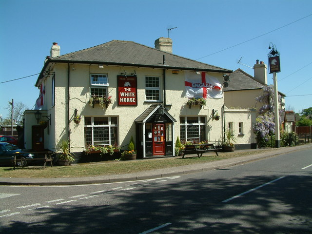
Kelvedon Hatch
Kelvedon Hatch is a village and civil parish in the Borough of Brentwood in south Essex, England. It is situated just north of Pilgrims Hatch, approximately...
Related Videos

Headshot at Dragons Lair #airsoft #airsoftsniper #headshot #airsoftvideo #mdr
A quick highlights video from the famous 'fall back' game at Dragons Lair. Each team must clear each section, quickest team to ...
Opposition pov👏🏻 #airsoft #headshot #ghillie #airsoftnation #airsoftshorts #airsoftinternational
The opposition (TC3) took the time to send me this clip a while back of me hitting him. Rather nice of him.
Have you been to Upper Boishall Wood?
Leave your review of Upper Boishall Wood below (or comments, questions and feedback).