Hog Wood

Wood, Forest in Kent Sevenoaks

England

Hog Wood

Brands Hatch paralympics - shuttle buses One of the buses had brought rail passengers from Sevenoaks station, the other operated a park-and-ride service from a field of the A20 a few miles away.
Brands Hatch paralympics - shuttle buses Credit: Stephen Craven

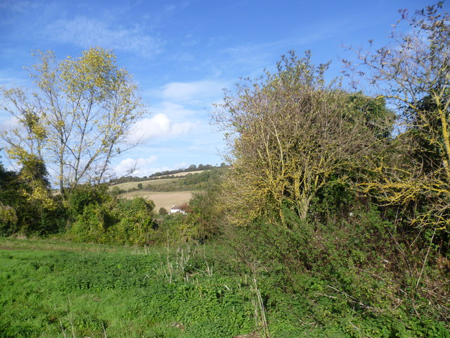
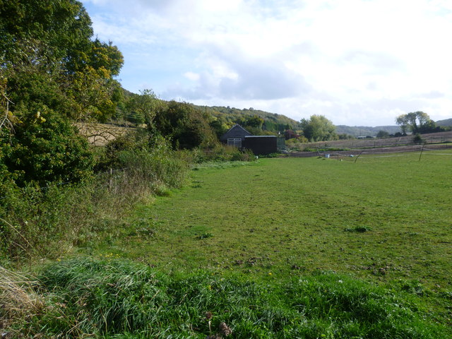
Hog Wood, located in the county of Kent, England, is a picturesque forest renowned for its natural beauty and diverse wildlife. Stretching over an area of approximately 100 acres, this woodland is a haven for nature enthusiasts and outdoor adventurers alike.

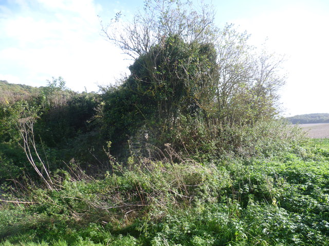
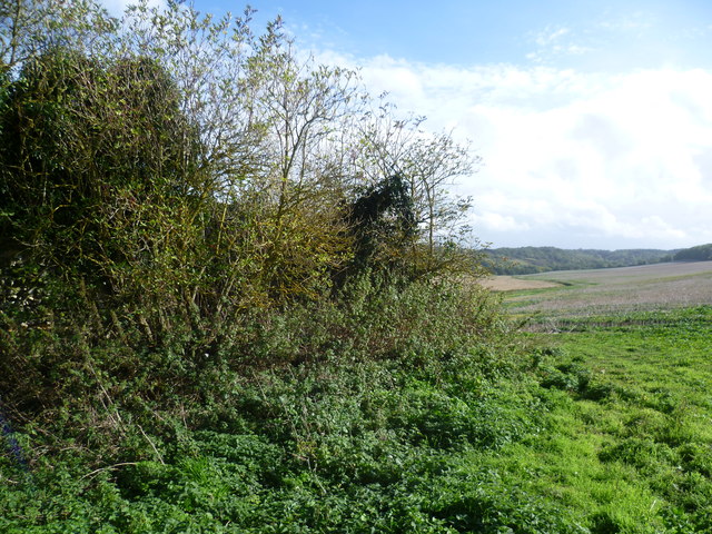
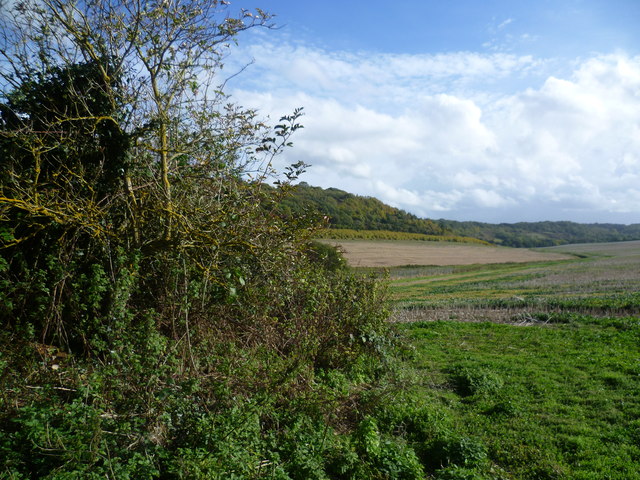
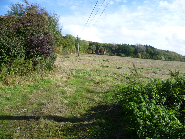
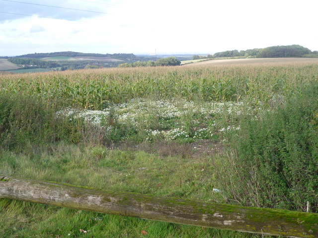
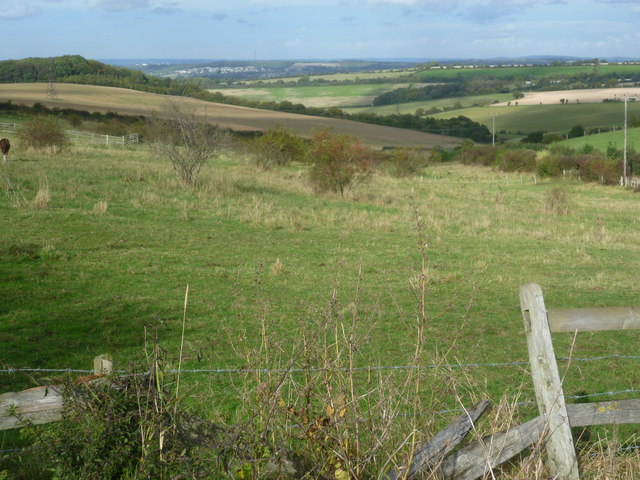
The forest is primarily composed of a variety of native trees, including oak, beech, and birch, which create a dense canopy overhead. These trees provide a habitat for a wide range of species, such as birds, butterflies, and small mammals, making it an ideal spot for birdwatching and wildlife spotting. The forest floor is carpeted with a rich assortment of wildflowers and ferns, adding to its enchanting atmosphere.

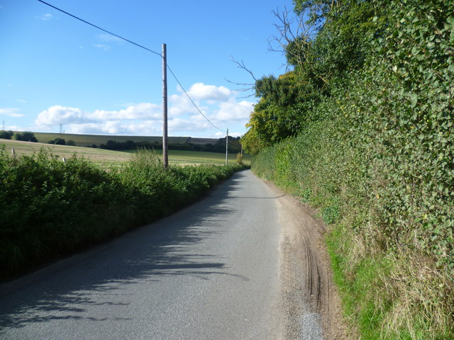
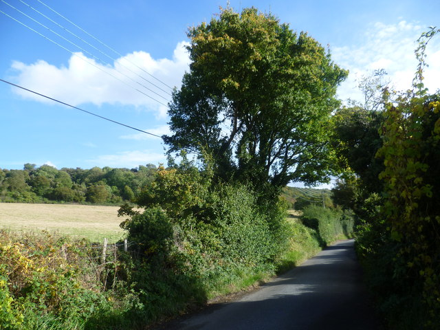
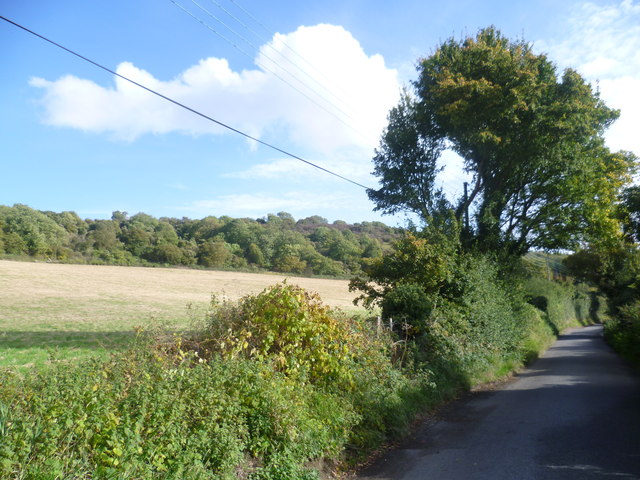
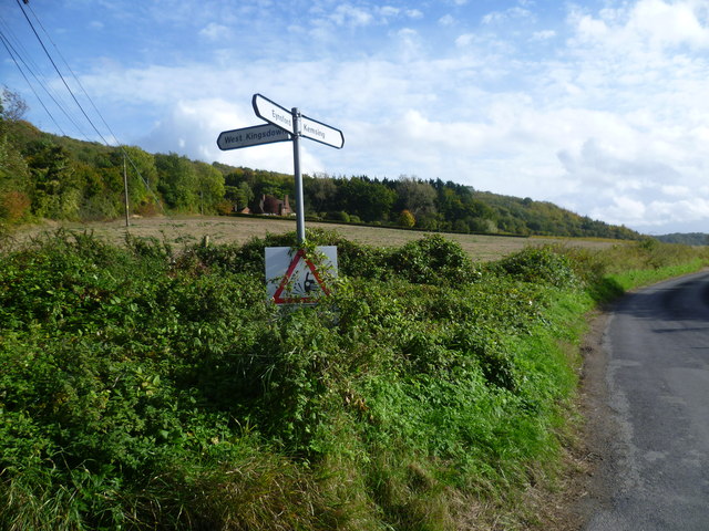
Hog Wood is crisscrossed by a network of well-maintained footpaths, allowing visitors to explore its hidden corners and discover its hidden treasures. There are several designated walking trails, ranging from short leisurely strolls to longer hikes, catering to different preferences and fitness levels. These paths wind through the forest, offering glimpses of babbling brooks and peaceful ponds along the way.

In addition to its natural wonders, Hog Wood also boasts a number of amenities for visitors. There is a visitor center at the entrance, providing information about the woodland's history, flora, and fauna. The center also offers guided tours and educational programs for school groups and nature enthusiasts. Furthermore, there are picnic areas and benches scattered throughout the forest, inviting visitors to relax and immerse themselves in the tranquility of their surroundings.

Overall, Hog Wood in Kent is a captivating forest that offers a unique opportunity to connect with nature and experience the wonders of the British countryside.

If you have any feedback on the listing, please let us know in the comments section below.
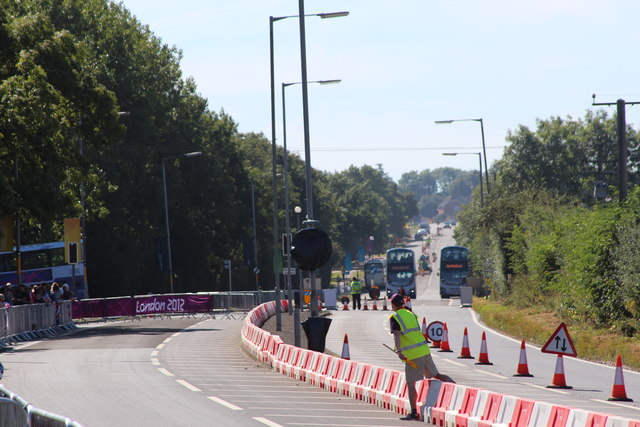
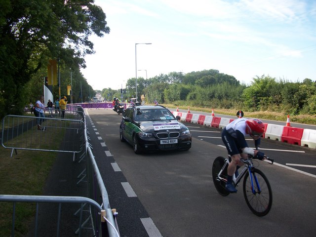
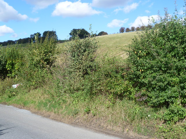
Hog Wood Images

Images are sourced within 2km of 51.345996/0.23262672 or Grid Reference TQ5563. Thanks to Geograph Open Source API. All images are credited.

Brands Hatch paralympics - shuttle buses One of the buses had brought rail passengers from Sevenoaks station, the other operated a park-and-ride service from a field of the A20 a few miles away.
Brands Hatch paralympics - shuttle buses
One of the buses had brought rail passengers from Sevenoaks station, the other operated a park-and-ride service from a field of the A20 a few miles away.
Brands Hatch paralympics - banners These banners on the approach to the venue displayed the Paralympic logo ("agitos") and an image of a hand cyclist.

For the buses behind, see <a href="https://www.geograph.org.uk/photo/3120667">TQ5664 : Brands Hatch paralympics - shuttle buses</a>.
Brands Hatch paralympics - banners
These banners on the approach to the venue displayed the Paralympic logo ("agitos") and an image of a hand cyclist. For the buses behind, see TQ5664 : Brands Hatch paralympics - shuttle buses.
Women's road racing, Colin Chapman Way
Men's Paralympic Cycling Jon-Allan Butterworth In the Men's C5 Time Trial
Men's Paralympic Cycling
Jon-Allan Butterworth In the Men's C5 Time Trial
Maplescombe Valley The road which leads away from Eynsford Road at Farningham feels very remote as it heads up a steep sided valley, initially via Maplescombe Lane and then Knatts Valley Road. This is the view of the north side of the valley from Maplescombe Lane, just as the small hamlet of Maplescombe is reached.
Maplescombe Valley
The road which leads away from Eynsford Road at Farningham feels very remote as it heads up a steep sided valley, initially via Maplescombe Lane and then Knatts Valley Road. This is the view of the north side of the valley from Maplescombe Lane, just as the small hamlet of Maplescombe is reached.
Maplescombe Lane The road which leads away from Eynsford Road at Farningham feels very remote as it heads up a steep sided valley parallel to the A20, initially via Maplescombe Lane and then Knatts Valley Road. This is the view looking back down the valley along Maplescombe Lane, just as the small hamlet of Maplescombe is reached.
Maplescombe Lane
The road which leads away from Eynsford Road at Farningham feels very remote as it heads up a steep sided valley parallel to the A20, initially via Maplescombe Lane and then Knatts Valley Road. This is the view looking back down the valley along Maplescombe Lane, just as the small hamlet of Maplescombe is reached.
Site of Maplescombe Church The site of Maplescombe Church is next to a footpath up the side of the Knatts Valley opposite Botsom Lane. Maplescombe was mentioned in the Domesday Book but its Anglo-Saxon church is now reduced to a chunk of flint wall almost completely enveloped in vegetation. It is hidden by the trees on the right here. The parish was united with West Kingsdown in 1638.
Site of Maplescombe Church
The site of Maplescombe Church is next to a footpath up the side of the Knatts Valley opposite Botsom Lane. Maplescombe was mentioned in the Domesday Book but its Anglo-Saxon church is now reduced to a chunk of flint wall almost completely enveloped in vegetation. It is hidden by the trees on the right here. The parish was united with West Kingsdown in 1638.
Remains of Maplescombe Church The site of Maplescombe Church is next to a footpath up the side of the Knatts Valley opposite Botsom Lane. Maplescombe was mentioned in the Domesday Book but its Anglo-Saxon church is now reduced to a chunk of flint wall almost completely enveloped in vegetation. It is just visible in the centre here. The parish was united with West Kingsdown in 1638.
Remains of Maplescombe Church
The site of Maplescombe Church is next to a footpath up the side of the Knatts Valley opposite Botsom Lane. Maplescombe was mentioned in the Domesday Book but its Anglo-Saxon church is now reduced to a chunk of flint wall almost completely enveloped in vegetation. It is just visible in the centre here. The parish was united with West Kingsdown in 1638.
Site of Maplescombe Church The site of Maplescombe Church is next to a footpath up the side of the Knatts Valley opposite Botsom Lane. Maplescombe was mentioned in the Domesday Book but its Anglo-Saxon church is now reduced to a chunk of flint wall almost completely enveloped in vegetation. It is hidden by the trees on the left here. The parish was united with West Kingsdown in 1638. The Knatts Valley stretches into the distance here. Considering West Kingsdown and the A20 are just up the top of the valley to the left this countryside feels incredibly remote.
Site of Maplescombe Church
The site of Maplescombe Church is next to a footpath up the side of the Knatts Valley opposite Botsom Lane. Maplescombe was mentioned in the Domesday Book but its Anglo-Saxon church is now reduced to a chunk of flint wall almost completely enveloped in vegetation. It is hidden by the trees on the left here. The parish was united with West Kingsdown in 1638. The Knatts Valley stretches into the distance here. Considering West Kingsdown and the A20 are just up the top of the valley to the left this countryside feels incredibly remote.
Knatts Valley from Maplescombe Church The site of Maplescombe Church is next to a footpath up the side of the Knatts Valley opposite Botsom Lane. Maplescombe was mentioned in the Domesday Book but its Anglo-Saxon church is now reduced to a chunk of flint wall almost completely enveloped in vegetation. It is hidden by the trees on the left here. The parish was united with West Kingsdown in 1638. The Knatts Valley stretches into the distance here. Considering West Kingsdown and the A20 are just up the top of the valley to the left this countryside feels incredibly remote.
Knatts Valley from Maplescombe Church
The site of Maplescombe Church is next to a footpath up the side of the Knatts Valley opposite Botsom Lane. Maplescombe was mentioned in the Domesday Book but its Anglo-Saxon church is now reduced to a chunk of flint wall almost completely enveloped in vegetation. It is hidden by the trees on the left here. The parish was united with West Kingsdown in 1638. The Knatts Valley stretches into the distance here. Considering West Kingsdown and the A20 are just up the top of the valley to the left this countryside feels incredibly remote.
Maplescombe Farm This field belongs to Maplescombe Farm. Maplescombe Lane is to the left of the hedge. Knatts Valley is in the distance.
Maplescombe Farm
This field belongs to Maplescombe Farm. Maplescombe Lane is to the left of the hedge. Knatts Valley is in the distance.
Maplescombe Lane This view of Maplescombe Lane as it runs through its remote valley is just south of Maplescombe Farm.
Maplescombe Lane
This view of Maplescombe Lane as it runs through its remote valley is just south of Maplescombe Farm.
Maplescombe Valley This view of Maplescombe Lane as it runs through its remote valley is just south of Maplescombe Farm.
Maplescombe Valley
This view of Maplescombe Lane as it runs through its remote valley is just south of Maplescombe Farm.
Looking up the side of Knatts Valley This view is from the bottom of Botsom Lane which runs up the hillside on the left to reach West Kingsdown. Knatts Valley stretches away to the right. Considering West Kingsdown and the A20 are just up the top of the valley this countryside feels incredibly remote.
Looking up the side of Knatts Valley
This view is from the bottom of Botsom Lane which runs up the hillside on the left to reach West Kingsdown. Knatts Valley stretches away to the right. Considering West Kingsdown and the A20 are just up the top of the valley this countryside feels incredibly remote.
The start of Knatts Valley This view is from the bottom of Botsom Lane which runs up the hillside on the left to reach West Kingsdown. Knatts Valley Road stretches away ahead along Knatts Valley. Considering West Kingsdown and the A20 are just up the top of the valley to the left this countryside feels incredibly remote.
The start of Knatts Valley
This view is from the bottom of Botsom Lane which runs up the hillside on the left to reach West Kingsdown. Knatts Valley Road stretches away ahead along Knatts Valley. Considering West Kingsdown and the A20 are just up the top of the valley to the left this countryside feels incredibly remote.
View from Bower Lane On the right are the woods above Maplescombe Lane while on the left horizon is Farningham Wood. The chimney of Littlebrook Power Station by the Thames at Dartford is in the far distance.
View from Bower Lane
On the right are the woods above Maplescombe Lane while on the left horizon is Farningham Wood. The chimney of Littlebrook Power Station by the Thames at Dartford is in the far distance.
View from Bower Lane After leaving Eynsford, Bower Lane rises steadily to eventually give fine views back towards Thamesside. In this view Darenth Wood and Ladies Wood are on the horizon left of centre with the houses of Darenth in front of them. Just ahead here to the right is the Maplescombe Valley.
View from Bower Lane
After leaving Eynsford, Bower Lane rises steadily to eventually give fine views back towards Thamesside. In this view Darenth Wood and Ladies Wood are on the horizon left of centre with the houses of Darenth in front of them. Just ahead here to the right is the Maplescombe Valley.
Show me another place!

Hog Wood is located at Grid Ref: TQ5563 (Lat: 51.345996, Lng: 0.23262672)

Administrative County: Kent

District: Sevenoaks

Police Authority: Kent

What 3 Words

///vocab.headed.native. Near West Kingsdown, Kent

Nearby Locations

Courtfield Shaw Hog Wood

Related Wikis

East Hill, Kent

East Hill is a hamlet in the civil parish of West Kingsdown, in the Sevenoaks District, in the county of Kent in England. == Location == East Hill is about...

Maplescombe

Maplescombe is a hamlet in the West Kingsdown civil parish, in the Sevenoaks District, in the county of Kent, England. == Location == It is about eight...

West Kingsdown

West Kingsdown is a village and civil parish in the Sevenoaks district of Kent, England, on the A20 5 miles (8 km) southeast of Swanley, 5.5 miles (9 km...

Knatts Valley

Knatts Valley is a hamlet situated in the West Kingsdown civil parish in the county of Kent, England. It was originally a rural community consisting mainly...

Romney Street

Romney Street is a hamlet in the civil parish of Shoreham, in the Sevenoaks district, in the English county of Kent. == Location == It is about 4 miles...

Magpie Bottom

Magpie Bottom is a 51.9-hectare (128-acre) biological Site of Special Scientific Interest north of Sevenoaks in Kent.This steeply sloping area of chalk...

Brands Hatch

Brands Hatch is a motor racing circuit in West Kingsdown, Kent, England, United Kingdom. Originally used as a grasstrack motorcycle circuit on farmland...

Eynsford

Eynsford ( or ) is a village and civil parish in the Sevenoaks District of Kent, England. It is located 3.3 miles (5 km) south east of Swanley, 7 miles...

Nearby Amenities

Located within 500m of 51.345996,0.23262672
Turning Loop
Lat/Long: 51.3437649/0.2332355
The data included in this document is from www.openstreetmap.org. The data is made available under ODbL.

Have you been to Hog Wood?

Leave your review of Hog Wood below (or comments, questions and feedback).