Payne's Shaw
Wood, Forest in Essex Brentwood
England
Payne's Shaw
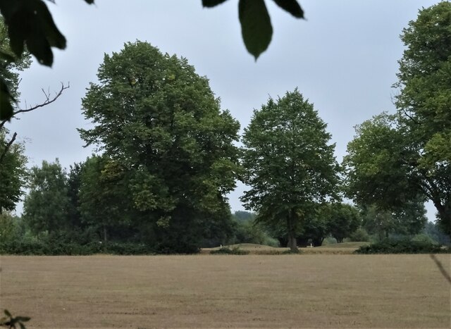
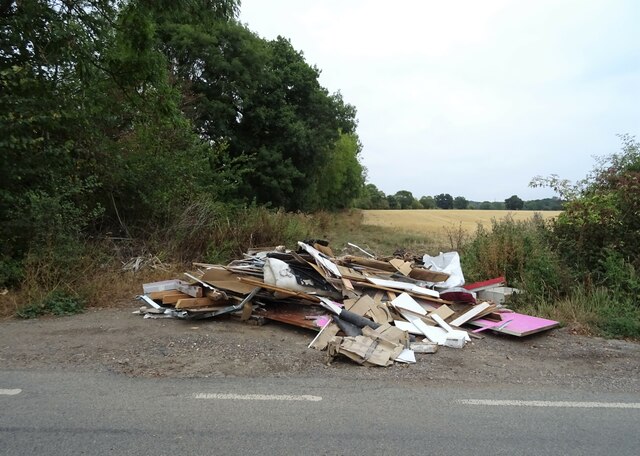
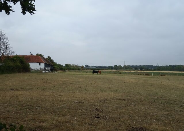
Payne's Shaw is a picturesque woodland located in the county of Essex, England. Situated in the district of Epping Forest, this area of natural beauty is a popular destination for nature enthusiasts and outdoor lovers alike.
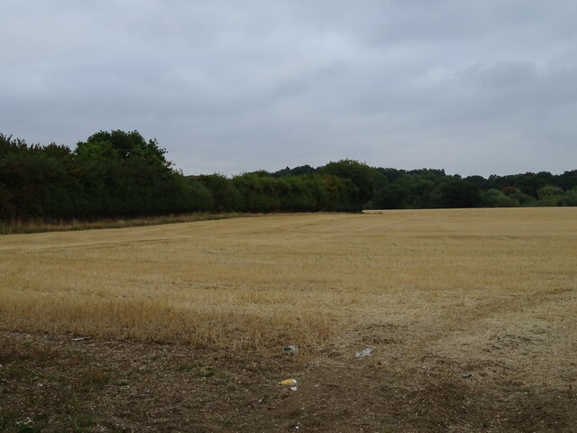
Covering an extensive area, Payne's Shaw is characterized by its dense, ancient woodland and diverse range of plant and animal species. The forest is predominantly made up of oak and beech trees, which create a stunning canopy above the forest floor. The woodland is also home to a variety of wildflowers, including bluebells and primroses, which add a burst of color to the landscape during springtime.
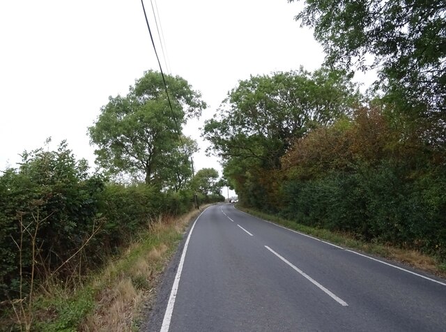
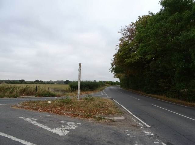
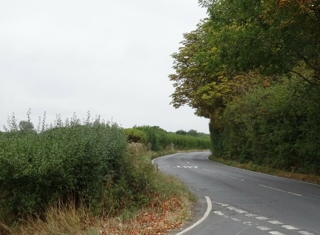
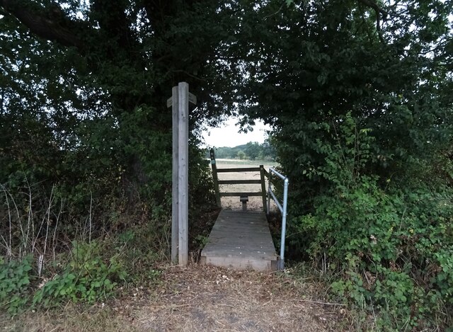
One of the main features of Payne's Shaw is its network of walking trails and footpaths, which allow visitors to explore the forest at their own pace. The trails are well-maintained and offer different routes to suit all abilities, from leisurely strolls to more challenging hikes. Along the way, visitors may have the chance to spot local wildlife, such as deer, foxes, and a wide array of bird species.
Additionally, Payne's Shaw offers a range of recreational activities for visitors to enjoy. These include picnicking, cycling, and horse riding, with designated areas provided for each. The serene atmosphere of the woodland also makes it a popular spot for photography and nature art.
Overall, Payne's Shaw, Essex is a stunning woodland that offers a tranquil retreat for those seeking to escape the hustle and bustle of everyday life. With its diverse flora and fauna, well-maintained trails, and array of recreational activities, it is a must-visit destination for both locals and tourists alike.
If you have any feedback on the listing, please let us know in the comments section below.
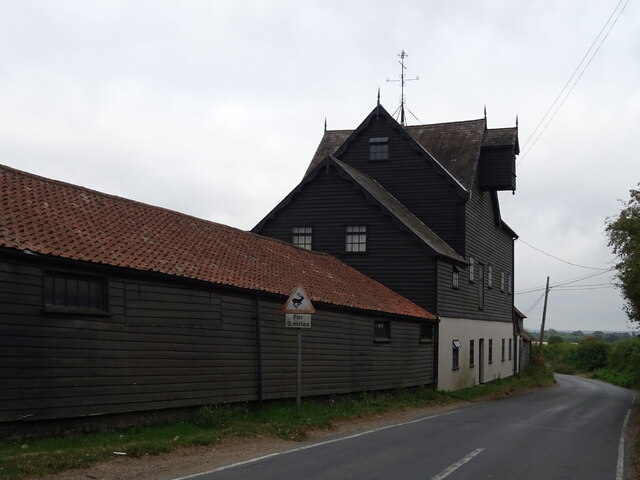
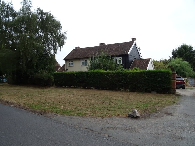
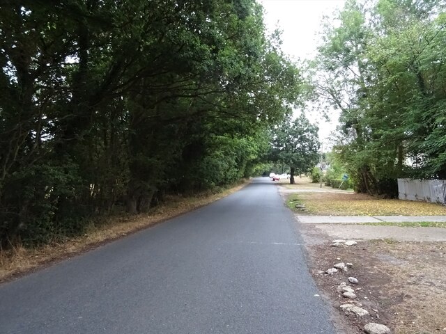
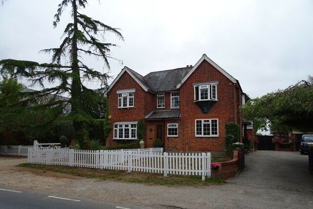
Payne's Shaw Images
Images are sourced within 2km of 51.65568/0.25095314 or Grid Reference TQ5597. Thanks to Geograph Open Source API. All images are credited.

Payne's Shaw is located at Grid Ref: TQ5597 (Lat: 51.65568, Lng: 0.25095314)
Administrative County: Essex
District: Brentwood
Police Authority: Essex
What 3 Words
///lifts.locate.spoken. Near Kelvedon Hatch, Essex
Nearby Locations
Related Wikis
Navestock Side
Navestock Side is a hamlet near the A128 road, in the Navestock civil parish of the Brentwood District, in the county of Essex, England. It is about three...

Abbotswick
Abbotswick (or Abbotswick Hall) at Navestock Side, in the English county of Essex, is a small country house standing in a well-timbered garden with a small...

Navestock
Navestock is a civil parish in the Borough of Brentwood in south Essex, in the East of England region of the United Kingdom. It is located approximately...
Trinity School, Brentwood
Trinity School (formerly Peniel Academy) was an independent school in Essex, England. The school was located in Brentwood and was closely linked to Trinity...
Coxtie Green
Coxtie Green is a small settlement in the Borough of Brentwood in Essex, England.

St Nicholas Church, Kelvedon Hatch
St Nicholas Church is the Church of England parish church in the Essex village of Kelvedon Hatch. It was first recorded around 1254, when the rectory of...

Kelvedon Hatch Secret Nuclear Bunker
The Kelvedon Hatch Secret Nuclear Bunker at Kelvedon Hatch, in the Borough of Brentwood in the English county of Essex, is a large underground bunker maintained...
Kelvedon Hatch
Kelvedon Hatch is a village and civil parish in the Borough of Brentwood in south Essex, England. It is situated just north of Pilgrims Hatch, approximately...
Nearby Amenities
Located within 500m of 51.65568,0.25095314Have you been to Payne's Shaw?
Leave your review of Payne's Shaw below (or comments, questions and feedback).