Lower Boishall Wood
Wood, Forest in Essex Brentwood
England
Lower Boishall Wood
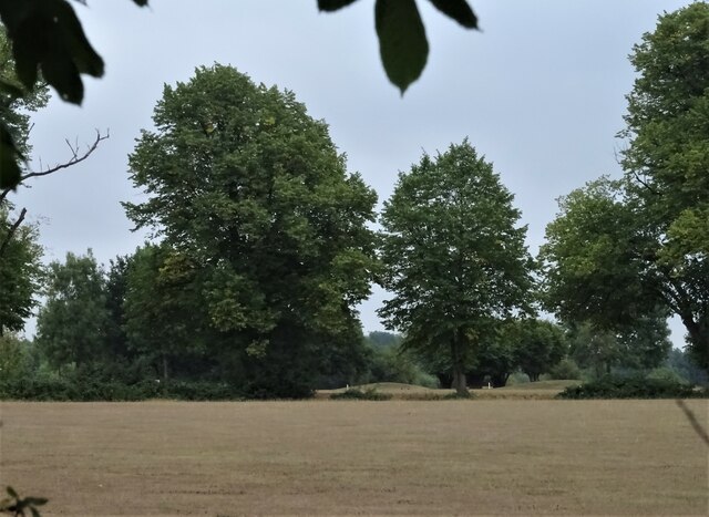
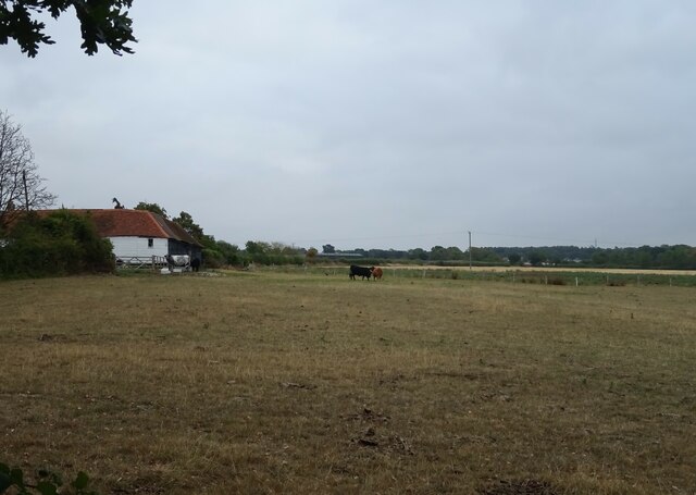
Lower Boishall Wood is a picturesque forest located in Essex, England. Spanning over a vast area, it is renowned for its rich biodiversity and stunning natural beauty. The wood is situated in close proximity to the village of Boishall, making it easily accessible to both locals and visitors.
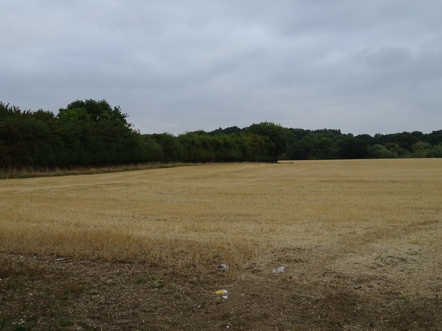
The forest boasts a diverse range of flora and fauna, with numerous species of trees, plants, and wildlife calling it home. The tree canopy is dominated by a mixture of oak, beech, and birch trees, creating a dense and enchanting woodland atmosphere. The forest floor is carpeted with an array of wildflowers, adding bursts of color to the serene surroundings.
Lower Boishall Wood is a haven for nature enthusiasts and birdwatchers, offering a variety of bird species to observe. From common woodland birds such as robins and blackbirds to more elusive species like woodpeckers and owls, the forest is a paradise for bird lovers.
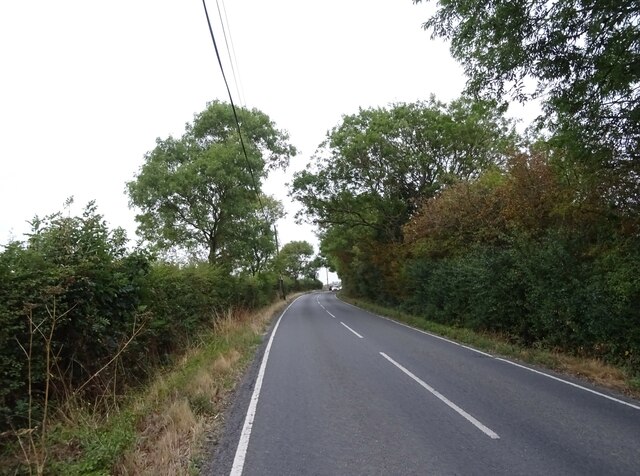
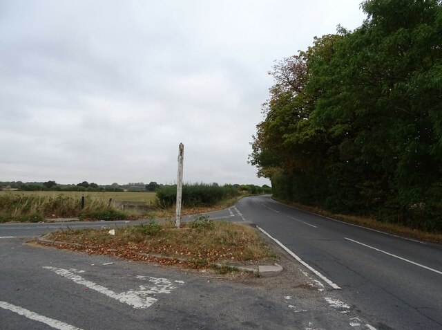
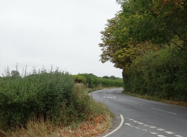
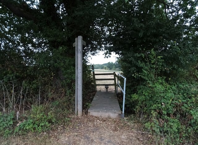
The wood is also home to a diverse range of mammals, including deer, foxes, and badgers. These animals can often be spotted during early morning or late evening walks through the forest. In addition to the wildlife, the wood is home to a network of footpaths and trails, providing ample opportunities for hiking, jogging, and exploring.
Lower Boishall Wood is a cherished natural gem in Essex, providing a peaceful and tranquil escape from the hustle and bustle of city life. Its breathtaking beauty and diverse ecosystem make it a must-visit destination for nature lovers and those seeking solace in the great outdoors.
If you have any feedback on the listing, please let us know in the comments section below.
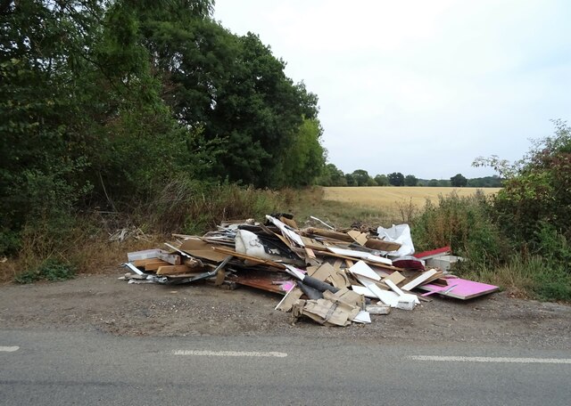
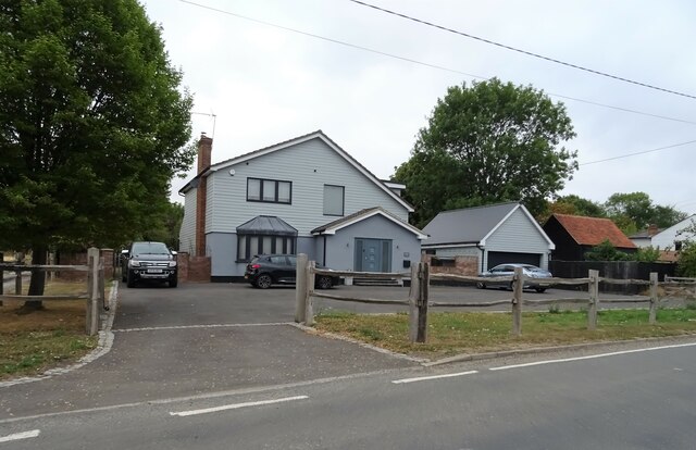
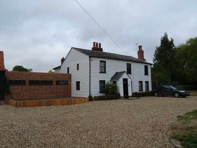
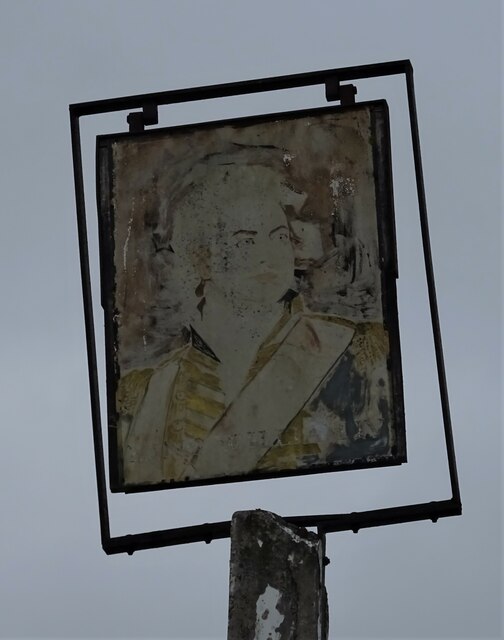
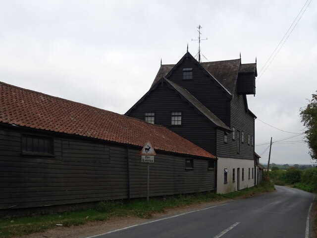
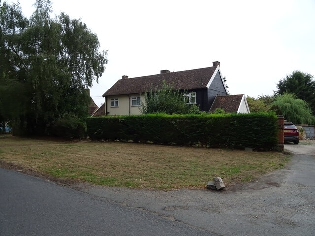
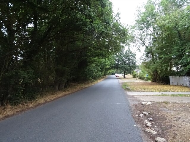
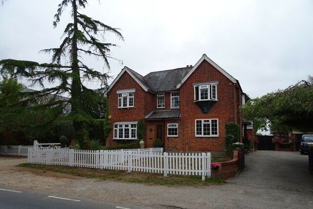
Lower Boishall Wood Images
Images are sourced within 2km of 51.655984/0.24444761 or Grid Reference TQ5597. Thanks to Geograph Open Source API. All images are credited.

Lower Boishall Wood is located at Grid Ref: TQ5597 (Lat: 51.655984, Lng: 0.24444761)
Administrative County: Essex
District: Brentwood
Police Authority: Essex
What 3 Words
///solar.dogs.data. Near Kelvedon Hatch, Essex
Nearby Locations
Related Wikis

Abbotswick
Abbotswick (or Abbotswick Hall) at Navestock Side, in the English county of Essex, is a small country house standing in a well-timbered garden with a small...
Navestock Side
Navestock Side is a hamlet near the A128 road, in the Navestock civil parish of the Brentwood District, in the county of Essex, England. It is about three...

Navestock
Navestock is a civil parish in the Borough of Brentwood in south Essex, in the East of England region of the United Kingdom. It is located approximately...
Coxtie Green
Coxtie Green is a small settlement in the Borough of Brentwood in Essex, England.
Trinity School, Brentwood
Trinity School (formerly Peniel Academy) was an independent school in Essex, England. The school was located in Brentwood and was closely linked to Trinity...

Kelvedon Hatch Secret Nuclear Bunker
The Kelvedon Hatch Secret Nuclear Bunker at Kelvedon Hatch, in the Borough of Brentwood in the English county of Essex, is a large underground bunker maintained...

St Nicholas Church, Kelvedon Hatch
St Nicholas Church is the Church of England parish church in the Essex village of Kelvedon Hatch. It was first recorded around 1254, when the rectory of...

Kelvedon Hall
Kelvedon Hall is a country house in the village of Kelvedon Hatch, near Brentwood, Essex, England. Originally the site of an important medieval manor,...
Have you been to Lower Boishall Wood?
Leave your review of Lower Boishall Wood below (or comments, questions and feedback).