Howe Plantation

Wood, Forest in Cambridgeshire East Cambridgeshire

England

Howe Plantation

Farmland at Commercial End
Farmland at Commercial End Credit: Mr Ignavy

Howe Plantation is a pristine woodland area located in Cambridgeshire, England. Spanning over acres of land, this plantation is renowned for its picturesque beauty and diverse range of flora and fauna. The plantation is nestled within the heart of the county, making it easily accessible for nature enthusiasts and locals alike.

The woodland is predominantly composed of native British tree species, including oak, birch, and beech trees. These majestic trees create a dense canopy, providing a tranquil and shaded environment for visitors. The forest floor is adorned with a vibrant carpet of mosses, ferns, and wildflowers, adding to the overall enchanting ambiance.

Howe Plantation is home to a wide variety of wildlife. Birdwatchers flock to the area to catch glimpses of numerous avian species, such as woodpeckers, jays, and tawny owls. Small mammals, including squirrels and rabbits, can be spotted scurrying through the undergrowth, while deer occasionally wander through the trees, adding a touch of elegance to the landscape.

The plantation offers an extensive network of walking trails, allowing visitors to explore the woodland at their own pace. These paths lead to hidden gems, such as a tranquil pond and a secluded picnic area, where visitors can relax and immerse themselves in the natural surroundings. Additionally, the plantation hosts educational programs and guided tours, providing visitors with opportunities to learn more about the local ecosystem.

Overall, Howe Plantation is a captivating woodland retreat in Cambridgeshire, offering a haven for nature lovers and a chance to reconnect with the beauty of the natural world.

If you have any feedback on the listing, please let us know in the comments section below.

Howe Plantation Images

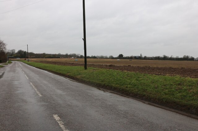
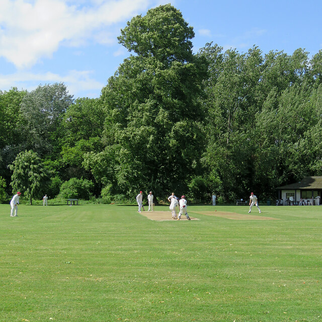
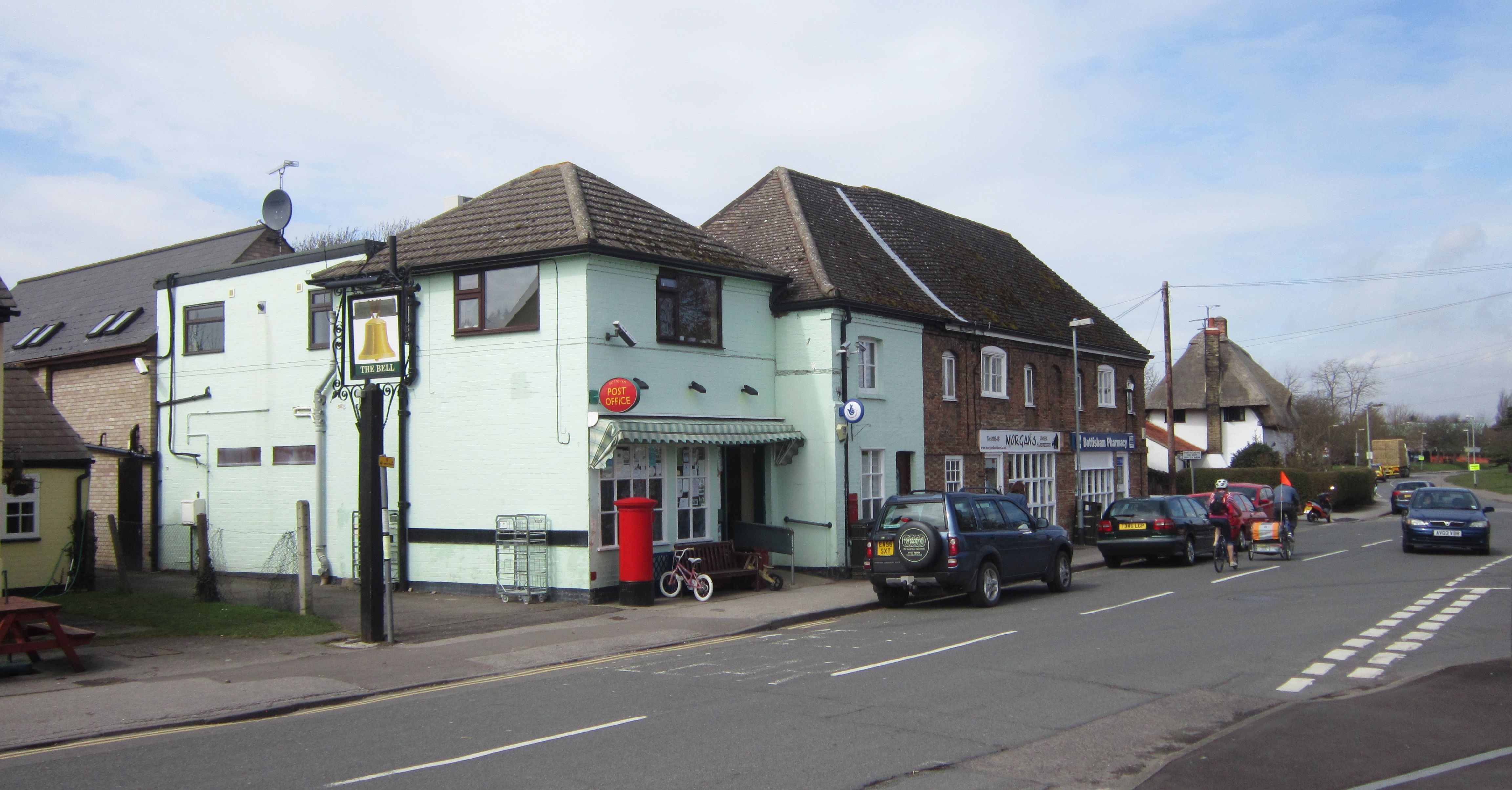
Images are sourced within 2km of 52.22836/0.27689811 or Grid Reference TL5561. Thanks to Geograph Open Source API. All images are credited.

Farmland at Commercial End
Heath Road, Swaffham Bulbeck This is typical fen scenery.
Heath Road, Swaffham Bulbeck
This is typical fen scenery.
Field by Heath Road, Swaffham Bulbeck
Swaffham Bulbeck: Commercial End Commercial End was, until the arrival of the railway in 1884, a river port, connected to the River Cam by Swaffham Bulbeck Lode. The buildings to the left of the terrace, a warehouse and The Merchant's House, are some of many Grade II listed buildings in the village.

<a href="https://www.geograph.org.uk/photo/6486492">TL5563 : Swaffham Bulbeck: the north end of Commercial End</a>
<a href="https://www.geograph.org.uk/photo/6486481">TL5563 : Swaffham Bulbeck: The Merchant's House, Commercial End</a>
Swaffham Bulbeck: Commercial End
Commercial End was, until the arrival of the railway in 1884, a river port, connected to the River Cam by Swaffham Bulbeck Lode. The buildings to the left of the terrace, a warehouse and The Merchant's House, are some of many Grade II listed buildings in the village. TL5563 : Swaffham Bulbeck: the north end of Commercial End TL5563 : Swaffham Bulbeck: The Merchant's House, Commercial End
Long Meadow: Haynes' Yard Haynes' Yard is the base for a number of businesses, including the Cambridge Tours coach-hire company.
Long Meadow: Haynes' Yard
Haynes' Yard is the base for a number of businesses, including the Cambridge Tours coach-hire company.
Bottisham: a Mustang at the Airfield Museum The museum's website explains that it "was opened in 2009 to commemorate the sometimes forgotten role of the airfield at Bottisham in World War Two. It is the only UK museum dedicated to the Royal Air Force, United States 8th Army Air Force and Belgian Air Forces.  We are now operating out of the last remaining airfield buildings to exist within the airfield’s original perimeter."

For more about the restored P51 Mustang fighter, see <span class="nowrap"><a title="https://www.bottishamairfieldmuseum.org.uk/general/progress-on-the-bottisham-p51-mustang/" rel="nofollow ugc noopener" href="https://www.bottishamairfieldmuseum.org.uk/general/progress-on-the-bottisham-p51-mustang/">Link</a><img style="margin-left:2px;" alt="External link" title="External link - shift click to open in new window" src="https://s1.geograph.org.uk/img/external.png" width="10" height="10"/></span> .
Bottisham: a Mustang at the Airfield Museum
The museum's website explains that it "was opened in 2009 to commemorate the sometimes forgotten role of the airfield at Bottisham in World War Two. It is the only UK museum dedicated to the Royal Air Force, United States 8th Army Air Force and Belgian Air Forces. We are now operating out of the last remaining airfield buildings to exist within the airfield’s original perimeter." For more about the restored P51 Mustang fighter, see LinkExternal link .
Swaffham Bulbeck: St Mary - chancel and chancel arch The church is "mostly C14" according to Nikolaus Pevsner. "The chancel E window of five lights [has] the flowing tracery of the second quarter of the century." Cool winter sunlight flooded the building late on a January morning.
Swaffham Bulbeck: St Mary - chancel and chancel arch
The church is "mostly C14" according to Nikolaus Pevsner. "The chancel E window of five lights [has] the flowing tracery of the second quarter of the century." Cool winter sunlight flooded the building late on a January morning.
Swaffham Bulbeck: Ram Cottage, Commercial End Timber-framed Ram Cottage dates from 1630 and is Grade II listed.
Swaffham Bulbeck: Ram Cottage, Commercial End
Timber-framed Ram Cottage dates from 1630 and is Grade II listed.
Swaffham Bulbeck: Commercial End Commercial End has a mixture of quite grand houses and humbler cottages.
Swaffham Bulbeck: Commercial End
Commercial End has a mixture of quite grand houses and humbler cottages.
Swaffham Bulbeck: The Malt House, Commercial End The malt kiln is now part of a house, whose elaborate doorway is dated 1697. The house, largely hidden from the street by a substantial wall, is Grade II listed.

Commercial End flourished from the 17th century onwards, when goods were brought along the Lode from the Cam. River traffic dwindled after the coming of the railway,
Swaffham Bulbeck: The Malt House, Commercial End
The malt kiln is now part of a house, whose elaborate doorway is dated 1697. The house, largely hidden from the street by a substantial wall, is Grade II listed. Commercial End flourished from the 17th century onwards, when goods were brought along the Lode from the Cam. River traffic dwindled after the coming of the railway,
Swaffham Bulbeck: winter sunlight, Commercial End The Malt House is on the left, with the grand 17th-century Merchant's House beyond it and The Granary straight ahead. These all date from the time before the coming of the railway, when Commercial End was a thriving river port, connected to the River Cam by Swaffham Bulbeck Lode.

<a href="https://www.geograph.org.uk/photo/7386899">TL5563 : Swaffham Bulbeck: The Malt House, Commercial End</a>
<a href="https://www.geograph.org.uk/photo/6486481">TL5563 : Swaffham Bulbeck: The Merchant's House, Commercial End</a>
<a href="https://www.geograph.org.uk/photo/6486492">TL5563 : Swaffham Bulbeck: the north end of Commercial End</a>
Swaffham Bulbeck: winter sunlight, Commercial End
The Malt House is on the left, with the grand 17th-century Merchant's House beyond it and The Granary straight ahead. These all date from the time before the coming of the railway, when Commercial End was a thriving river port, connected to the River Cam by Swaffham Bulbeck Lode. TL5563 : Swaffham Bulbeck: The Malt House, Commercial End TL5563 : Swaffham Bulbeck: The Merchant's House, Commercial End TL5563 : Swaffham Bulbeck: the north end of Commercial End
Bottisham: Holy Trinity Winter, when most of the churchyard trees are bare, is the best time to try to photograph all of this uncommonly interesting church, much admired by Nikolaus Pevsner. For comparison, see <a href="https://www.geograph.org.uk/photo/4112448">TL5460 : Bottisham: Holy Trinity - north side</a> (August 2014).
Bottisham: Holy Trinity
Winter, when most of the churchyard trees are bare, is the best time to try to photograph all of this uncommonly interesting church, much admired by Nikolaus Pevsner. For comparison, see TL5460 : Bottisham: Holy Trinity - north side (August 2014).
Bottisham: Holy Trinity - from the east A view over the wall from the footpath which skirts the churchyard. The church is mediaeval and extremely interesting. The three lancet windows at the east end of the chancel date from 1875, however, and their glass honours Captain (later Colonel) Soame Gambier Jenyns of Bottisham Hall (1826-73), a survivor of the Charge of the Light Brigade at Balaclava, who had received a hero's welcome in the village on his return from Crimea.
Bottisham: Holy Trinity - from the east
A view over the wall from the footpath which skirts the churchyard. The church is mediaeval and extremely interesting. The three lancet windows at the east end of the chancel date from 1875, however, and their glass honours Captain (later Colonel) Soame Gambier Jenyns of Bottisham Hall (1826-73), a survivor of the Charge of the Light Brigade at Balaclava, who had received a hero's welcome in the village on his return from Crimea.
Bottisham: Holy Trinity - south side Winter, when the churchyard's deciduous trees are bare, is the best time to try to photograph all of a mediaeval church which Nikolaus Pevsner thought "one of the most interesting churches of Cambridgeshire, and in addition an architecturally very satisfactory building".
Bottisham: Holy Trinity - south side
Winter, when the churchyard's deciduous trees are bare, is the best time to try to photograph all of a mediaeval church which Nikolaus Pevsner thought "one of the most interesting churches of Cambridgeshire, and in addition an architecturally very satisfactory building".
Swaffham Bulbeck: cricket on the village green Camden (Cambridge) batting first against Bottisham-Lode in a Cambridgeshire Cricket Association league match. Camden made 162 for 7. Despite being 140 for 5 after only 21 overs, BottLode lost their last five wickets for only 15 runs and Camden won, somewhat unexpectedly, by 7 runs.
Swaffham Bulbeck: cricket on the village green
Camden (Cambridge) batting first against Bottisham-Lode in a Cambridgeshire Cricket Association league match. Camden made 162 for 7. Despite being 140 for 5 after only 21 overs, BottLode lost their last five wickets for only 15 runs and Camden won, somewhat unexpectedly, by 7 runs.
Swaffham Bulbeck: Post Office, cottage and pub Left to right: the village shop, including a Post Office, Bolebec Cottage and The Black Horse Inn. The timber-framed house dates from 1587 and is Grade II listed.
Swaffham Bulbeck: Post Office, cottage and pub
Left to right: the village shop, including a Post Office, Bolebec Cottage and The Black Horse Inn. The timber-framed house dates from 1587 and is Grade II listed.
Show me another place!

Howe Plantation is located at Grid Ref: TL5561 (Lat: 52.22836, Lng: 0.27689811)

Administrative County: Cambridgeshire

District: East Cambridgeshire

Police Authority: Cambridgeshire

What 3 Words

///repeats.suiting.beeline. Near Bottisham, Cambridgeshire

Related Wikis

Swaffham Bulbeck

Swaffham Bulbeck is a small village in East Cambridgeshire, England. Swaffham Bulbeck is located about 8 miles (13 km) from the city of Cambridge, and...

Bottisham Hall

Bottisham Hall is a country house in Bottisham, Cambridgeshire, England. Built in 1797 for the Reverend George Leonard Jenyns to replace the family's previous...

Bottisham

Bottisham is a village and civil parish in the East Cambridgeshire district of Cambridgeshire, England, about 6 miles (10 km) east of Cambridge, halfway...

RAF Bottisham

Royal Air Force Bottisham or more simply RAF Bottisham is a former Royal Air Force station located 5 miles (8 km) east of Cambridge, Cambridgeshire, England...

Nearby Amenities

Located within 500m of 52.22836,0.27689811
Power: pole
Lat/Long: 52.2320479/0.274292
Power: pole
Lat/Long: 52.2321354/0.2741403
Power: pole
Lat/Long: 52.2302672/0.2751085
Power: pole
Lat/Long: 52.2323781/0.2736374
Power: pole
Lat/Long: 52.2309408/0.2759561
Power: pole
Lat/Long: 52.2317162/0.276868
Power: pole
Lat/Long: 52.2325144/0.2777749
Power: pole
Lat/Long: 52.2315082/0.2750765
The data included in this document is from www.openstreetmap.org. The data is made available under ODbL.

Have you been to Howe Plantation?

Leave your review of Howe Plantation below (or comments, questions and feedback).