The Alders
Wood, Forest in Kent Sevenoaks
England
The Alders
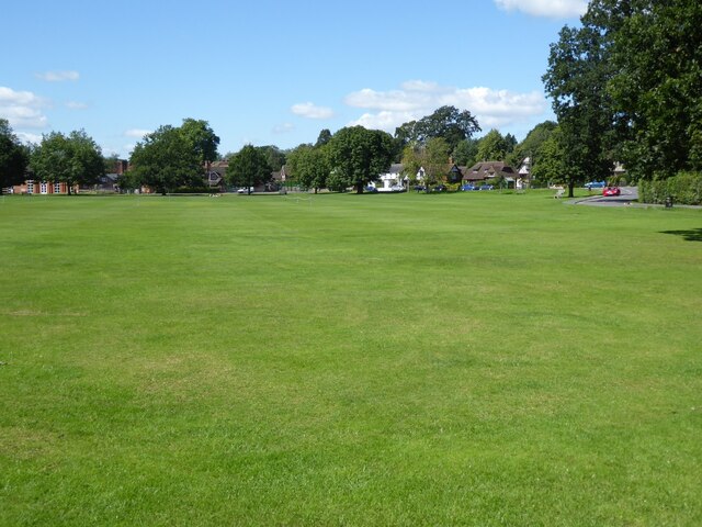
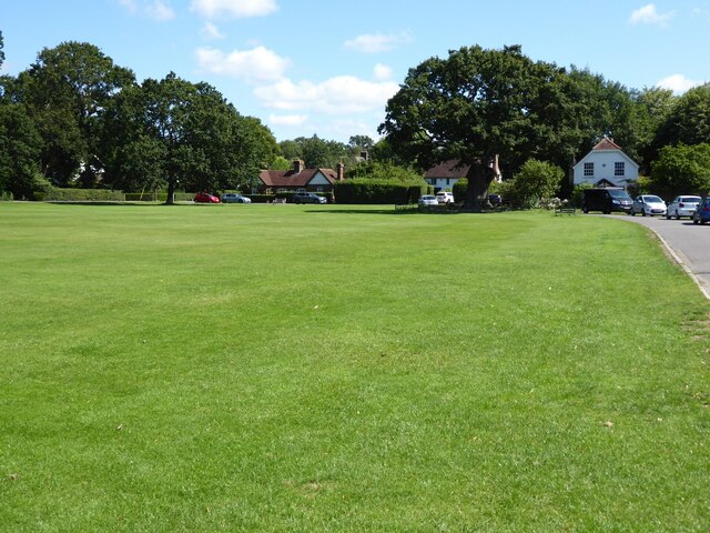
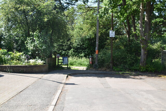
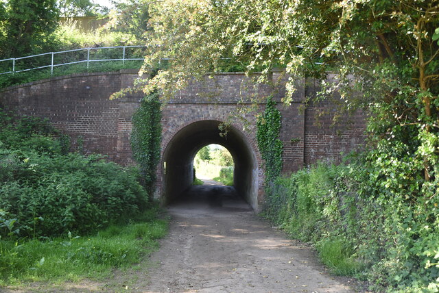
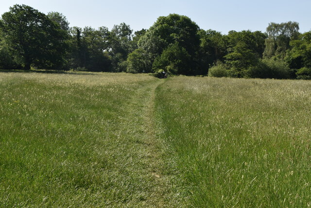
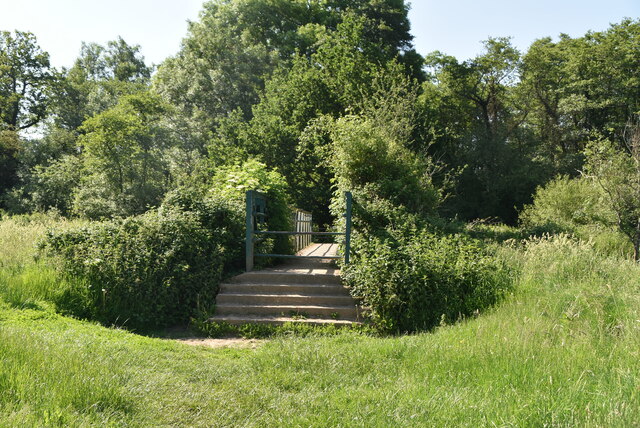
The Alders, located in Kent, England, is a picturesque woodland area known for its dense population of alder trees. Spanning several acres, this forested region is a haven for nature enthusiasts, offering a tranquil and serene environment.
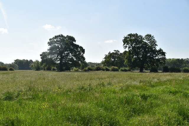
One of the defining features of The Alders is its rich biodiversity. The area is home to a wide variety of plant and animal species, making it an ideal destination for wildlife enthusiasts and birdwatchers. The alder trees themselves are a prominent feature, known for their distinctive dark bark and heart-shaped leaves. These trees thrive in the damp conditions of the woodland, creating a unique and vibrant ecosystem.
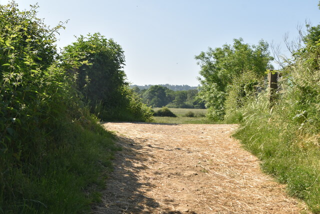
The forest floor of The Alders is carpeted with a diverse range of flora, including ferns, mosses, and wildflowers. These provide a beautiful contrast against the tall, slender trunks of the alder trees. The presence of a small stream running through the woods adds to the enchanting atmosphere, providing a water source for the wildlife and adding to the overall natural beauty.
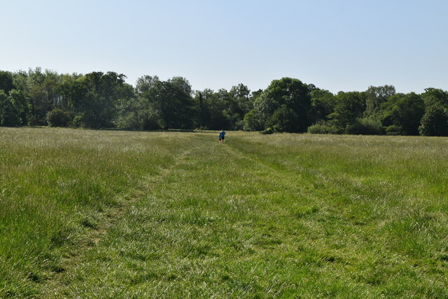
In addition to its natural beauty, The Alders offers numerous recreational opportunities. Visitors can explore the forest through a network of well-maintained trails, which wind their way through the trees and provide breathtaking views of the surrounding landscape. The area is also popular for camping and picnicking, with designated areas provided for these activities.
Overall, The Alders in Kent is a stunning woodland area that offers a peaceful retreat from the hustle and bustle of everyday life. Its lush vegetation, diverse wildlife, and recreational opportunities make it a must-visit destination for nature lovers and outdoor enthusiasts.
If you have any feedback on the listing, please let us know in the comments section below.
The Alders Images
Images are sourced within 2km of 51.204594/0.22603892 or Grid Reference TQ5547. Thanks to Geograph Open Source API. All images are credited.
The Alders is located at Grid Ref: TQ5547 (Lat: 51.204594, Lng: 0.22603892)
Administrative County: Kent
District: Sevenoaks
Police Authority: Kent
What 3 Words
///shot.option.glue. Near Tonbridge, Kent
Nearby Locations
Related Wikis

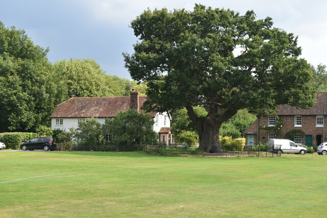
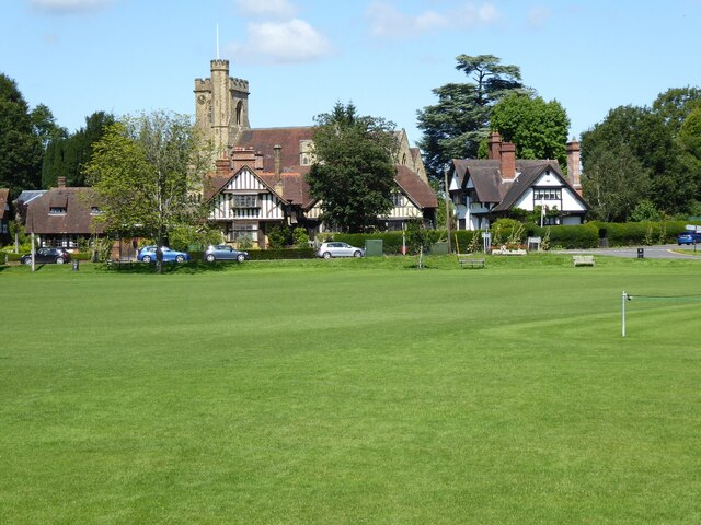
Leigh, Kent
Leigh , historically spelled Lyghe, is a village and a civil parish located in the Sevenoaks district of Kent, England. It is located six miles (10 km...

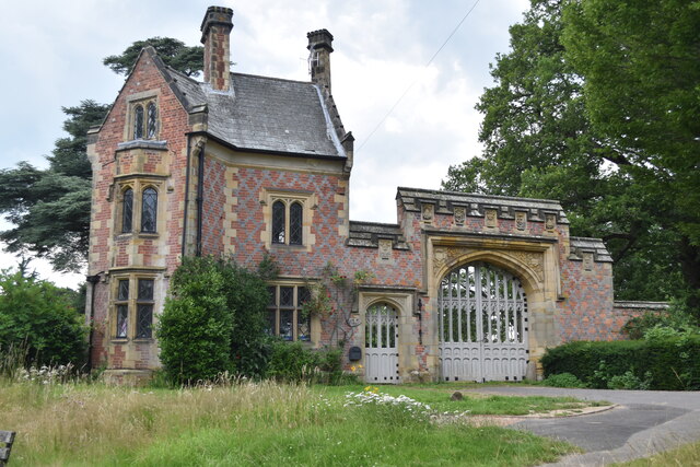
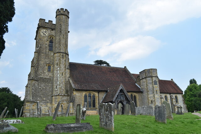
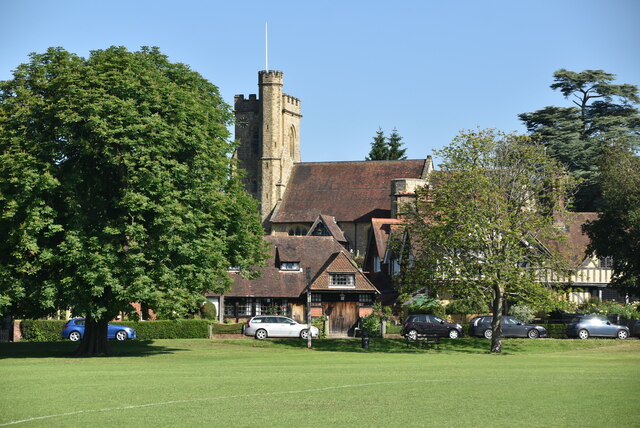
St Mary's Church, Leigh
St Mary's Church is a parish church in Leigh, Kent. The current church was originally completed in the 13th century, although a church is believed to have...
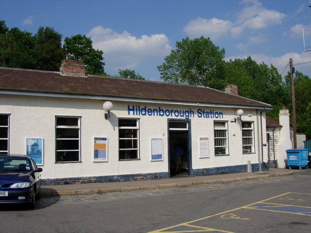
Hildenborough railway station
Hildenborough railway station is on the South Eastern Main Line in England, serving Hildenborough, Kent, and the surrounding villages. It is 27 miles 2...

Sackville School, Hildenborough
Sackville School is a small profit-making coeducational independent school located in the village of Hildenborough, in Kent, England. == History == Sackville...

Hildenborough
Hildenborough is a village and rural parish in the borough of Tonbridge and Malling in Kent, England. It is located 2 miles (3.2 km) north-west of Tonbridge...

Leigh railway station
Leigh railway station is on the Redhill to Tonbridge Line and serves Leigh in Kent, England. It is 39 miles 56 chains (39.70 miles, 63.89 km) measured...
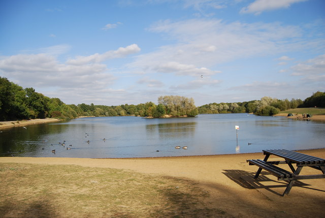
Haysden Country Park
Haysden Country Park is a 64-hectare (160-acre) country park and Local Nature Reserve on the outskirts of Tonbridge in Kent. It is owned by Tonbridge...

Lullingstone Country Park
Lullingstone Country Park is near Eynsford, in Kent, England. A former deer park of a large estate, it was later sold to become an open-space and woodland...
Nearby Amenities
Located within 500m of 51.204594,0.22603892Have you been to The Alders?
Leave your review of The Alders below (or comments, questions and feedback).