Lackenhurst Gill

Valley in Sussex Horsham

England

Lackenhurst Gill

Rear of house on Marlpost Road The house is called "Woodlands" according to the large-scale map. This is also a cross-grid shot. The camera was just in the square to the west.
Rear of house on Marlpost Road Credit: Ian Cunliffe

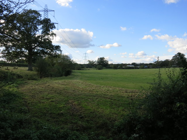
Lackenhurst Gill is a picturesque valley located in the county of Sussex, England. Nestled within the South Downs National Park, the gill is renowned for its natural beauty and diverse wildlife, attracting visitors from far and wide.

The valley is characterized by its gently sloping sides and lush greenery, with dense woodlands covering much of the area. A meandering stream, known as Lackenhurst Gill, flows through the valley, providing a serene ambiance and adding to its charm.

The gill is home to a wide variety of flora and fauna, making it a significant ecological habitat. Rare species of plants such as wood sorrel and bluebells can be found here, along with a range of native trees including oak, ash, and beech. The valley also supports a diverse array of wildlife, including badgers, foxes, and a plethora of bird species.

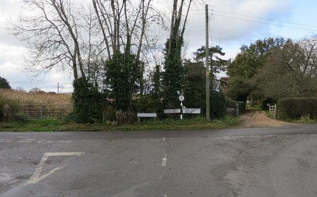
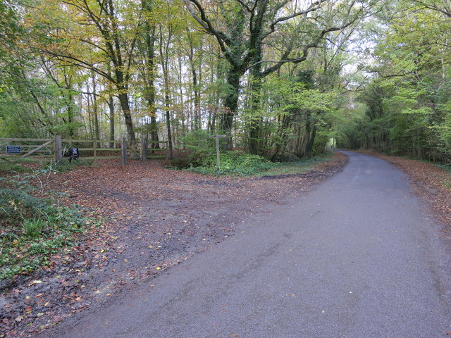
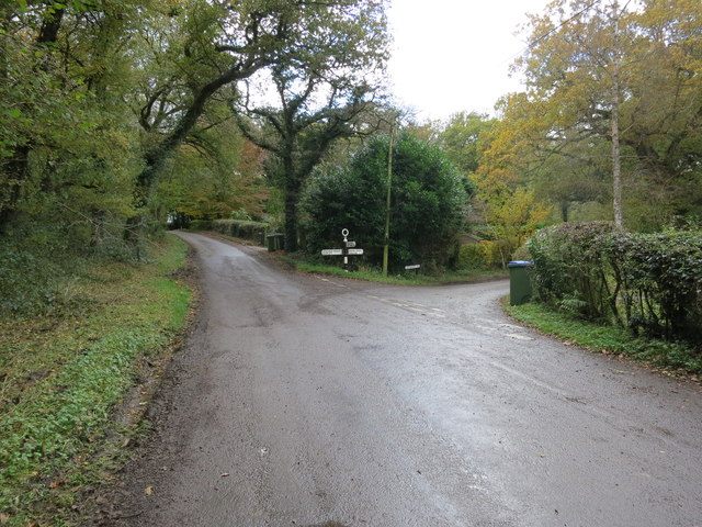
Lackenhurst Gill offers numerous walking trails and footpaths, allowing visitors to explore its natural wonders at their own pace. These trails lead through the enchanting woodlands and offer breathtaking views of the surrounding countryside. The gill is especially popular during the spring and summer months when the valley is adorned with vibrant wildflowers and the songs of birds fill the air.

Overall, Lackenhurst Gill is a hidden gem in Sussex, offering a tranquil retreat in the heart of nature. Its idyllic setting, rich biodiversity, and stunning vistas make it a must-visit destination for nature enthusiasts and those seeking a peaceful escape from the hustle and bustle of everyday life.

If you have any feedback on the listing, please let us know in the comments section below.

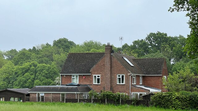
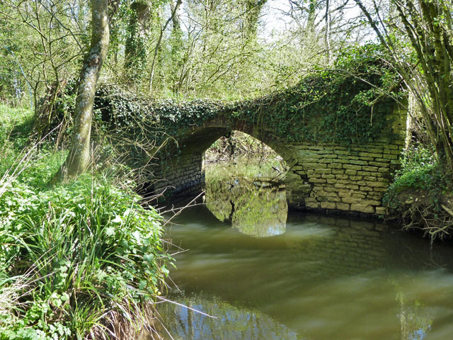
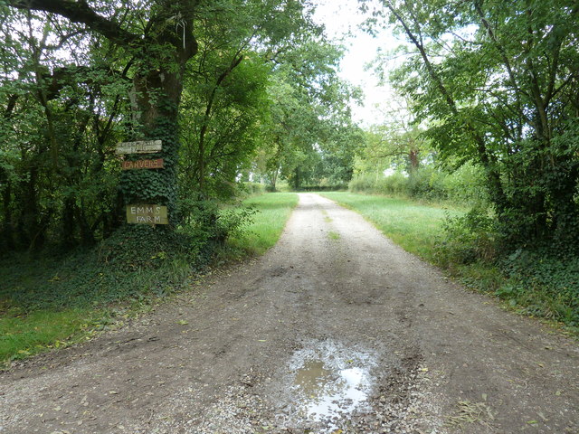
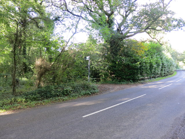
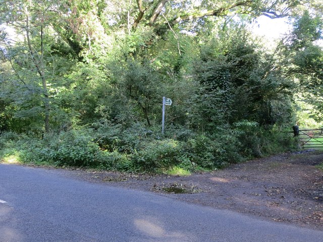
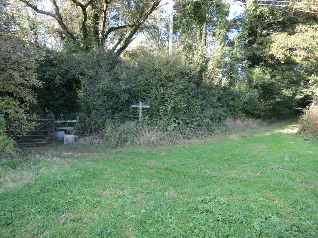
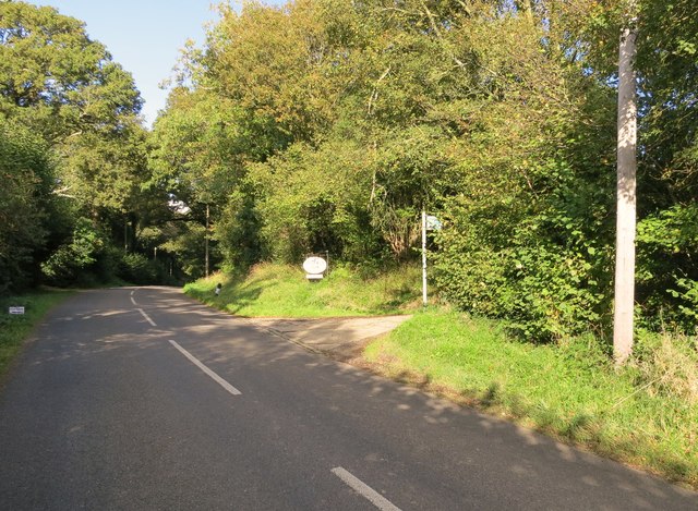
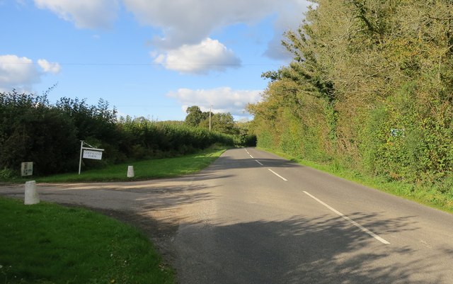
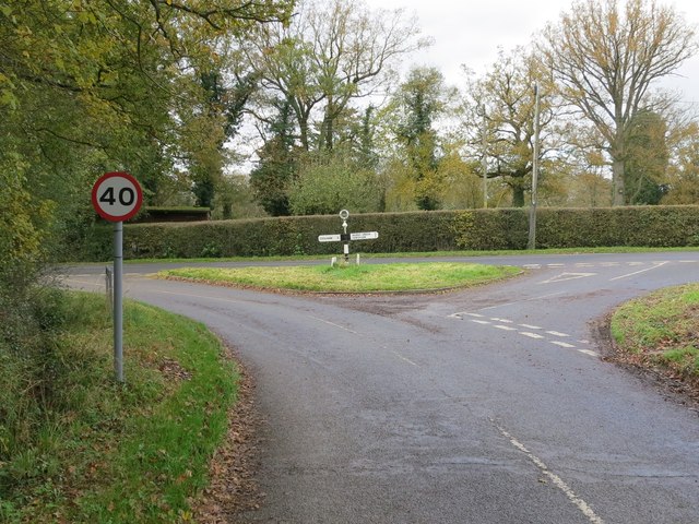
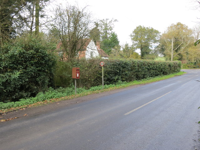
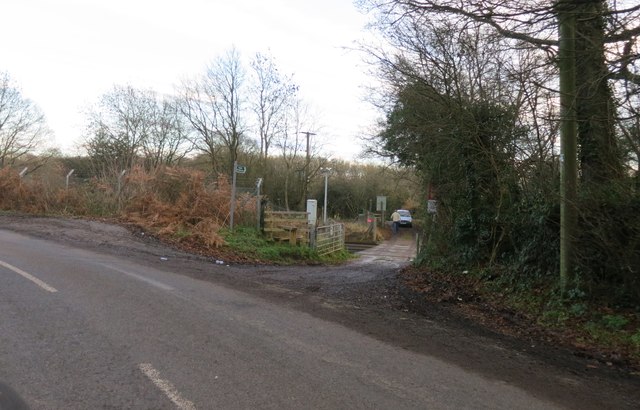
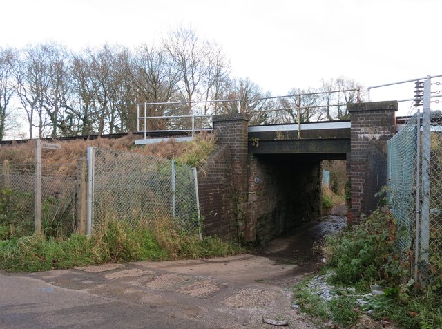
Lackenhurst Gill Images

Images are sourced within 2km of 51.011749/-0.38320267 or Grid Reference TQ1324. Thanks to Geograph Open Source API. All images are credited.

Rear of house on Marlpost Road The house is called "Woodlands" according to the large-scale map. This is also a cross-grid shot. The camera was just in the square to the west.
Rear of house on Marlpost Road
The house is called "Woodlands" according to the large-scale map. This is also a cross-grid shot. The camera was just in the square to the west.
View north across fields west of Madgeland Farm It had begun to rain lightly when I took this shot.
View north across fields west of Madgeland Farm
It had begun to rain lightly when I took this shot.
Crumbling bridge This bridge carrying a farm track and Bridleway 1911 over a young River Adur could be in better repair.
Crumbling bridge
This bridge carrying a farm track and Bridleway 1911 over a young River Adur could be in better repair.
Valewood Farmhouse Grade II listed.  <span class="nowrap"><a title="http://www.britishlistedbuildings.co.uk/en-299292-valewood-itchingfield" rel="nofollow ugc noopener" href="http://www.britishlistedbuildings.co.uk/en-299292-valewood-itchingfield">Link</a><img style="margin-left:2px;" alt="External link" title="External link - shift click to open in new window" src="https://s1.geograph.org.uk/img/external.png" width="10" height="10"/></span>
Valewood Farmhouse
Grade II listed. LinkExternal link
Footpath 1904/2 to Emms Farm and Courtlands Farm
Bridleway BW1891 Off Shipley Road
Bridleway BW1891
Off Shipley Road
Public Footpath FP2815 Off Shipley Road
Public Footpath FP2815
Off Shipley Road
Public Footpath Junction In the Delph. The junction of Footpaths FP2815 and FP2804.
Public Footpath Junction
In the Delph. The junction of Footpaths FP2815 and FP2804.
Bridleway BW2815/2 Off Shipley Road through Brick kiln farm to A24.
Bridleway BW2815/2
Off Shipley Road through Brick kiln farm to A24.
Bridleway BW1894 Off Shipley Road through Goffsland Farm (sign is almost hidden in the hedgerow)
Bridleway BW1894
Off Shipley Road through Goffsland Farm (sign is almost hidden in the hedgerow)
Goffsland Farm From Hartsgravel Bridge on Shipley Road
Goffsland Farm
From Hartsgravel Bridge on Shipley Road
Road Junction Church Lane and Marlpost Road.
Road Junction
Church Lane and Marlpost Road.
Bridleway BW3214/1 Crosses Marlpost Road into Marlpost Wood
Bridleway BW3214/1
Crosses Marlpost Road into Marlpost Wood
Lane Junction Oldhouse Lane, Lackenhurst Lane and Baker's Lane
Lane Junction
Oldhouse Lane, Lackenhurst Lane and Baker's Lane
Road Junction Lackenhurst Lane, Trout Lane and Coolham Road
Road Junction
Lackenhurst Lane, Trout Lane and Coolham Road
Post Box RH13 57 Brook Green (Horsham)
Post Box
RH13 57 Brook Green (Horsham)
End of Bridleway BW1911 At the Three Bridges to Havant Railway line
End of Bridleway BW1911
At the Three Bridges to Havant Railway line
Railway subway To Public Footpath FP1904
Railway subway
To Public Footpath FP1904
Show me another place!

Lackenhurst Gill is located at Grid Ref: TQ1324 (Lat: 51.011749, Lng: -0.38320267)

Administrative County: West Sussex

District: Horsham

Police Authority: Sussex

What 3 Words

///guru.cadet.deck. Near Southwater, West Sussex

Related Wikis

Newbuildings Place

Newbuildings Place is a 17th-century Artisan Mannerist house near Shipley, West Sussex. The house is a former home of Wilfrid Scawen Blunt, who is buried...

Brooks Green

Brooks Green is a hamlet in the Shipley civil parish of the Horsham District of West Sussex, England. It is in the north-west of the parish, approximately...

Dragon's Green

Dragon's Green is a hamlet in the civil parish of Shipley, and the Horsham district of West Sussex, England. The hamlet is 5 miles (8 km) south from the...

Parson's Brook

Parson's Brook is a minor river (brook) located in the Horsham District of West Sussex, England. It is a tributary to the River Adur. == Course == The...

Holy Innocents Church, Southwater

Holy Innocents Church is the Anglican parish church of Southwater, a village in the Horsham District of West Sussex, England. Built in 1849, the church...

Billingshurst (electoral division)

Billingshurst is an electoral division of West Sussex in the United Kingdom and returns one member to sit on West Sussex County Council. == Extent == The...

Barns Green

Barns Green is a village in the Horsham district of West Sussex, England. It lies on the Billingshurst to Itchingfield road 2+1⁄2 miles (4.0 km) north...

Southwater

Southwater is a large village and civil parish in the Horsham District of West Sussex, England, with a population of roughly 10,000. It is administered...

Nearby Amenities

Located within 500m of 51.011749,-0.38320267
Power: pole
Lat/Long: 51.011646/-0.386039
Power: pole
Lat/Long: 51.012039/-0.3872151
Power: pole
Lat/Long: 51.012409/-0.3882999
Power: pole
Lat/Long: 51.0127272/-0.3892384
Power: pole
Lat/Long: 51.0134739/-0.3897351
Power: pole
Lat/Long: 51.0105728/-0.3827047
Power: pole
Lat/Long: 51.0101672/-0.3813192
Power: pole
Lat/Long: 51.0109577/-0.3840409
Power: pole
Lat/Long: 51.0112994/-0.3850316
Lackenhurst
Place: isolated_dwelling
Wikidata: Q26277888
Lat/Long: 51.0099191/-0.388295
Addr Housename: Oldhouse Cottages
Lat/Long: 51.0099977/-0.3819775
The data included in this document is from www.openstreetmap.org. The data is made available under ODbL.

Have you been to Lackenhurst Gill?

Leave your review of Lackenhurst Gill below (or comments, questions and feedback).