Abraham's Plantation
Wood, Forest in Sussex Horsham
England
Abraham's Plantation
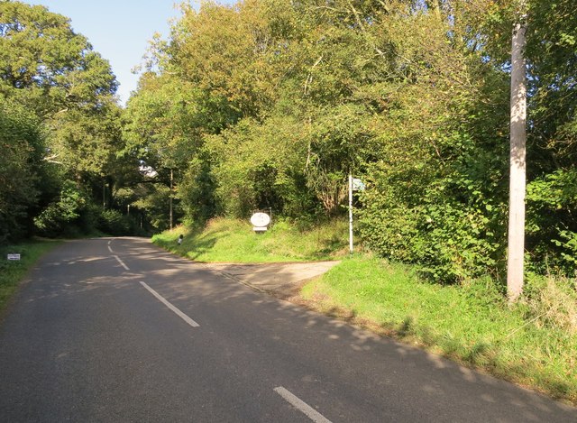
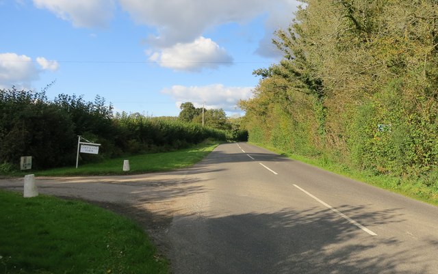
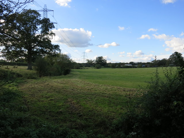
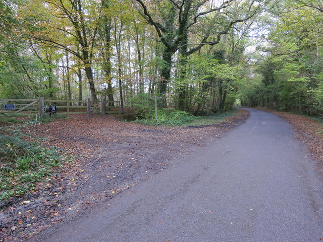
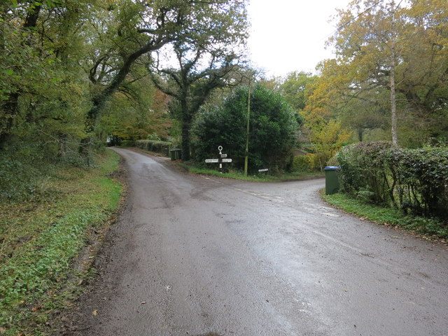
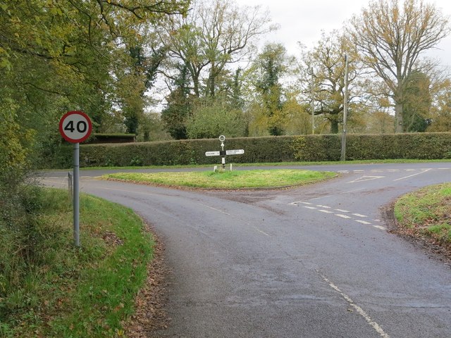
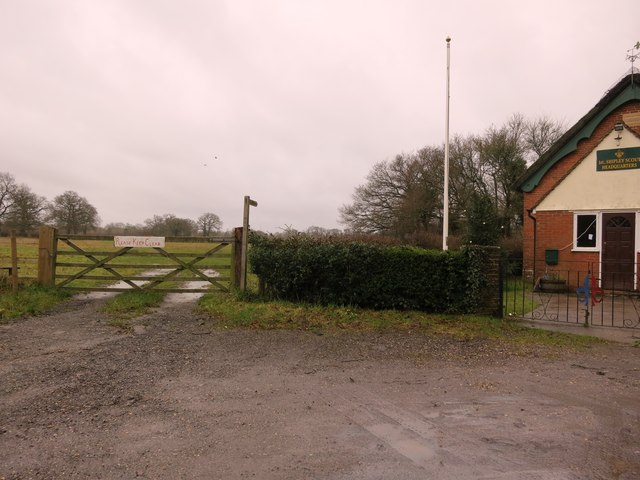
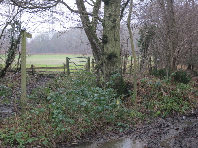
Abraham's Plantation, located in Sussex, England, is a charming woodland area known for its rich history and natural beauty. Spread across a vast expanse, this plantation is a popular destination for nature enthusiasts, history buffs, and those looking to escape the hustle and bustle of city life.
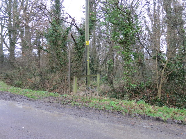
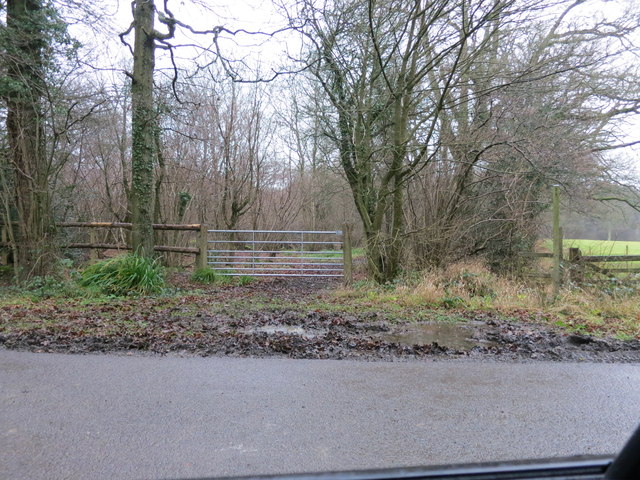
The plantation, also referred to as Abraham's Wood or Abraham's Forest, is believed to have been established during the medieval period and was originally used for timber production. Over the centuries, it has evolved into a diverse ecosystem, comprising of ancient woodland, open meadows, and serene ponds. The woodlands are predominantly inhabited by oak, beech, and birch trees, providing a lush canopy that shelters a variety of wildlife.
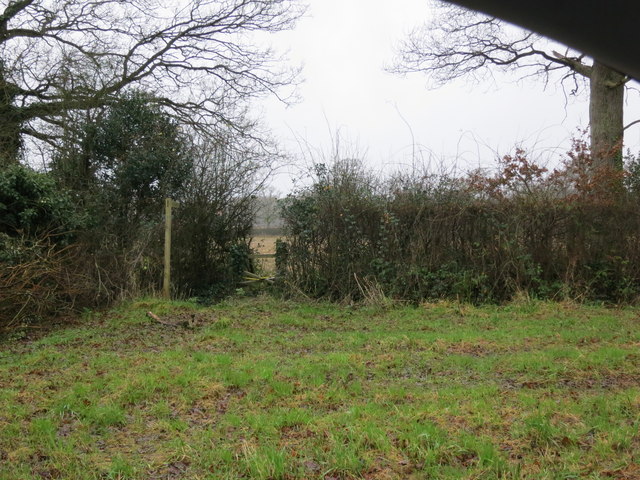
Visitors to Abraham's Plantation can explore numerous walking trails that wind through the woodland, offering breathtaking views of the surrounding landscape. The plantation is home to a vast array of flora and fauna, including rare species such as the purple emperor butterfly and the lesser spotted woodpecker. Birdwatchers will also delight in the opportunity to spot various feathered inhabitants, such as nightingales and tawny owls.
Furthermore, the plantation holds historical significance, with remnants of ancient settlements and archaeological sites scattered throughout the area. Visitors can stumble upon the remnants of Iron Age hillforts or explore the ruins of a medieval village, providing a glimpse into the region's past.
Abraham's Plantation is a haven for nature lovers and history enthusiasts alike, offering a tranquil retreat where one can immerse themselves in the beauty of Sussex's woodlands and connect with its storied past.
If you have any feedback on the listing, please let us know in the comments section below.
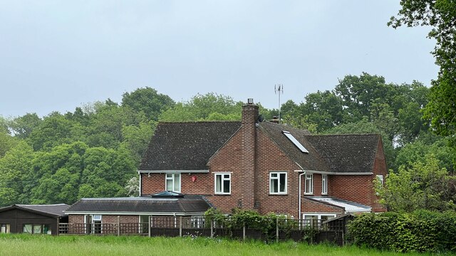
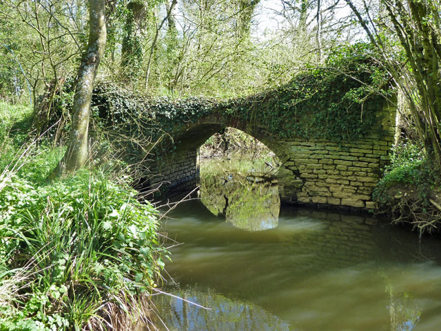
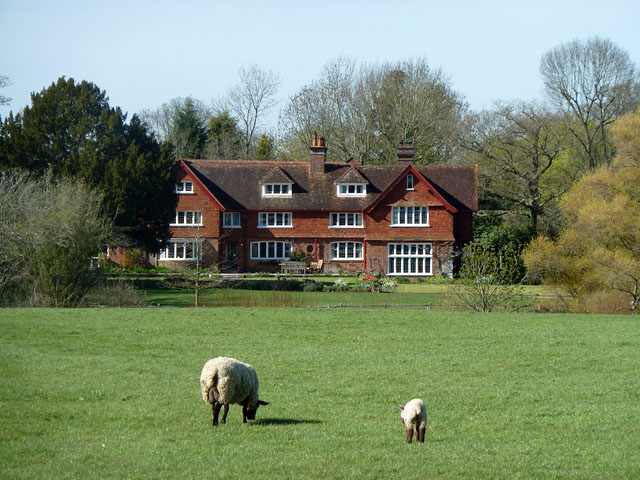
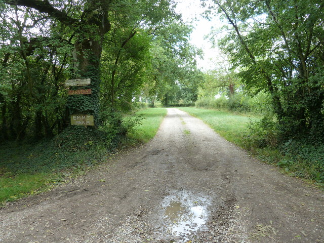
Abraham's Plantation Images
Images are sourced within 2km of 51.007336/-0.38535168 or Grid Reference TQ1324. Thanks to Geograph Open Source API. All images are credited.

Abraham's Plantation is located at Grid Ref: TQ1324 (Lat: 51.007336, Lng: -0.38535168)
Administrative County: West Sussex
District: Horsham
Police Authority: Sussex
What 3 Words
///snoozing.spenders.venue. Near Southwater, West Sussex
Nearby Locations
Related Wikis

Newbuildings Place
Newbuildings Place is a 17th-century Artisan Mannerist house near Shipley, West Sussex. The house is a former home of Wilfrid Scawen Blunt, who is buried...

Brooks Green
Brooks Green is a hamlet in the Shipley civil parish of the Horsham District of West Sussex, England. It is in the north-west of the parish, approximately...

Dragon's Green
Dragon's Green is a hamlet in the civil parish of Shipley, and the Horsham district of West Sussex, England. The hamlet is 5 miles (8 km) south from the...

Parson's Brook
Parson's Brook is a minor river (brook) located in the Horsham District of West Sussex, England. It is a tributary to the River Adur. == Course == The...
Coolham
Coolham is a small village in the civil parish of Shipley and the Horsham District of West Sussex, England. It is located at the crossroads of the A272...

Billingshurst (electoral division)
Billingshurst is an electoral division of West Sussex in the United Kingdom and returns one member to sit on West Sussex County Council. == Extent == The...

RAF Coolham
Royal Air Force Coolham or more simply RAF Coolham is a former Royal Air Force Advanced Landing Ground located in West Sussex, England. The following units...
Shipley, West Sussex
Shipley is a village and civil parish in the Horsham District of West Sussex, England. It lies just off the A272 road 6 miles (10 kilometres) north-east...
Nearby Amenities
Located within 500m of 51.007336,-0.38535168Have you been to Abraham's Plantation?
Leave your review of Abraham's Plantation below (or comments, questions and feedback).