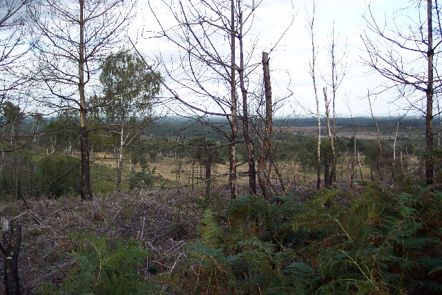
Old Parks Copse
Wood, Forest in Surrey Elmbridge
England
Old Parks Copse
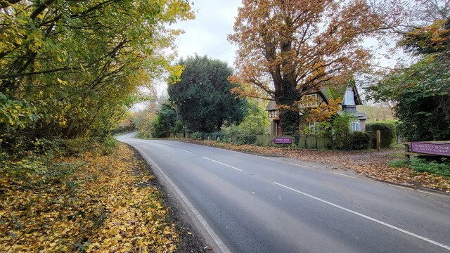
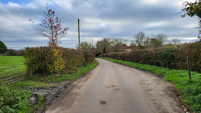
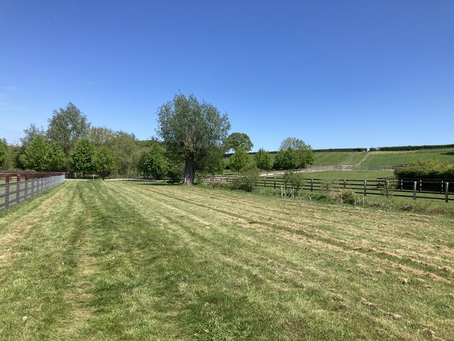
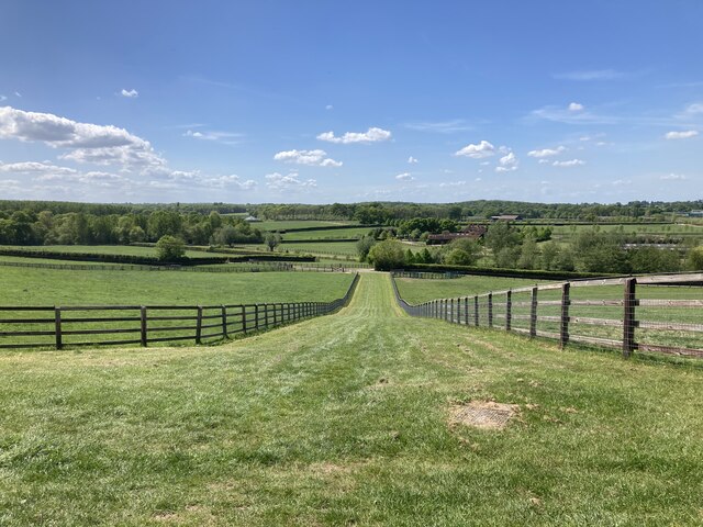
Old Parks Copse is a charming woodland area located in Surrey, England. Spanning over a vast expanse of approximately 100 acres, this ancient copse is a significant natural treasure in the region. It is situated near the village of Guildford and is easily accessible to visitors.
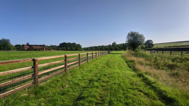
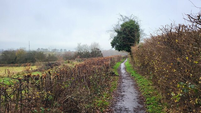
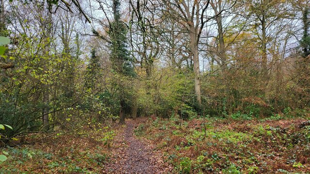
The copse is primarily composed of a mixture of deciduous and coniferous trees, creating a diverse and visually stunning landscape. Towering oak, beech, and birch trees dominate the area, providing a lush canopy of green that stretches as far as the eye can see. The forest floor is adorned with a variety of wildflowers, ferns, and moss, adding to the enchanting atmosphere.
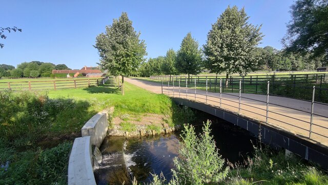
Old Parks Copse is a haven for wildlife enthusiasts, as it is home to a rich array of animal species. Visitors may spot deer, foxes, squirrels, and a plethora of bird species, including woodpeckers and owls. The copse also contains several small ponds, which attract various amphibians and insects, creating a vibrant and dynamic ecosystem.
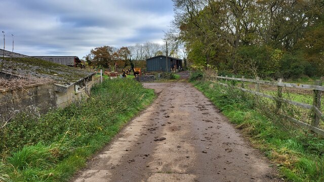
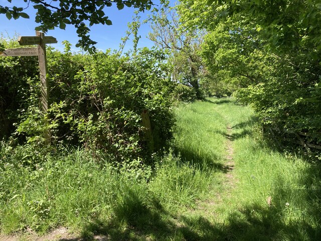
The copse offers a network of well-maintained trails for visitors to explore the area on foot. These paths wind through the forest, providing breathtaking views and opportunities for peaceful contemplation. There are also designated picnic areas where visitors can relax and enjoy the serenity of the surroundings.
Old Parks Copse is a true gem in the heart of Surrey, offering a tranquil escape from the hustle and bustle of everyday life. Whether exploring the woodland trails, observing the diverse flora and fauna, or simply immersing oneself in the natural beauty, a visit to Old Parks Copse is a memorable experience for nature lovers and outdoor enthusiasts alike.
If you have any feedback on the listing, please let us know in the comments section below.
Old Parks Copse Images
Images are sourced within 2km of 51.312716/-0.37461225 or Grid Reference TQ1358. Thanks to Geograph Open Source API. All images are credited.


Old Parks Copse is located at Grid Ref: TQ1358 (Lat: 51.312716, Lng: -0.37461225)
Administrative County: Surrey
District: Elmbridge
Police Authority: Surrey
What 3 Words
///aura.decent.evenly. Near Cobham, Surrey
Nearby Locations
Related Wikis
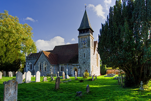
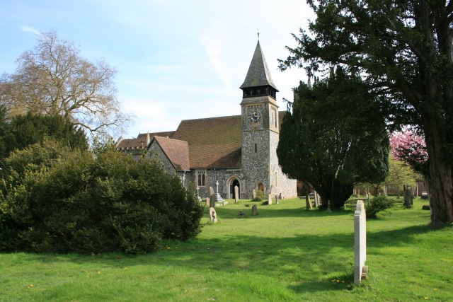
St Mary's Church, Stoke d'Abernon
The Church of St Mary is an Anglican church in the village of Stoke d'Abernon, Surrey, in the Diocese of Guildford. The church, the oldest parts of which...
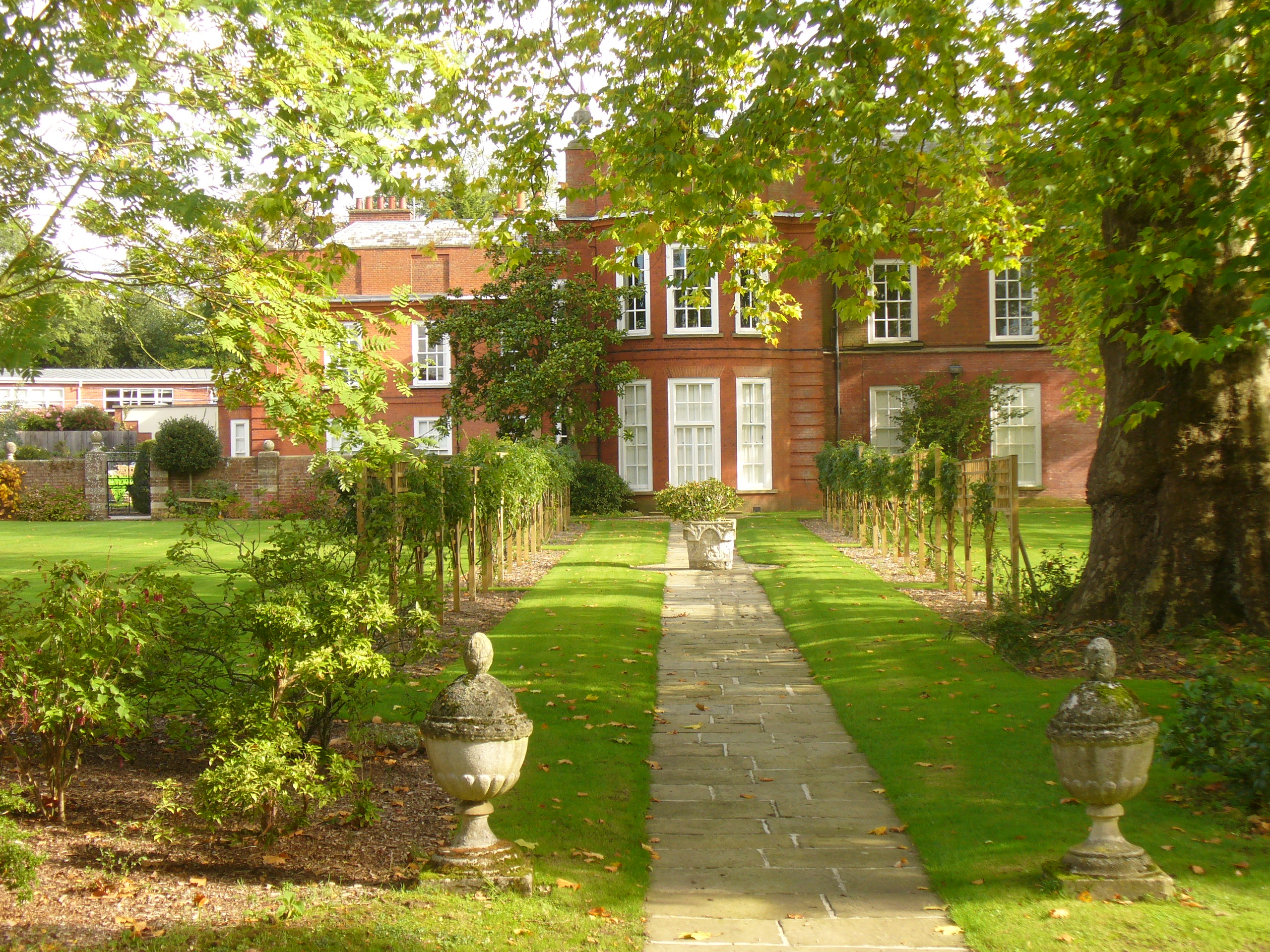
Parkside School, Cobham
Parkside School is a private preparatory school located in Cobham. Founded in 1879, the school caters for boys aged 2 to 13 and for girls in the nursery...
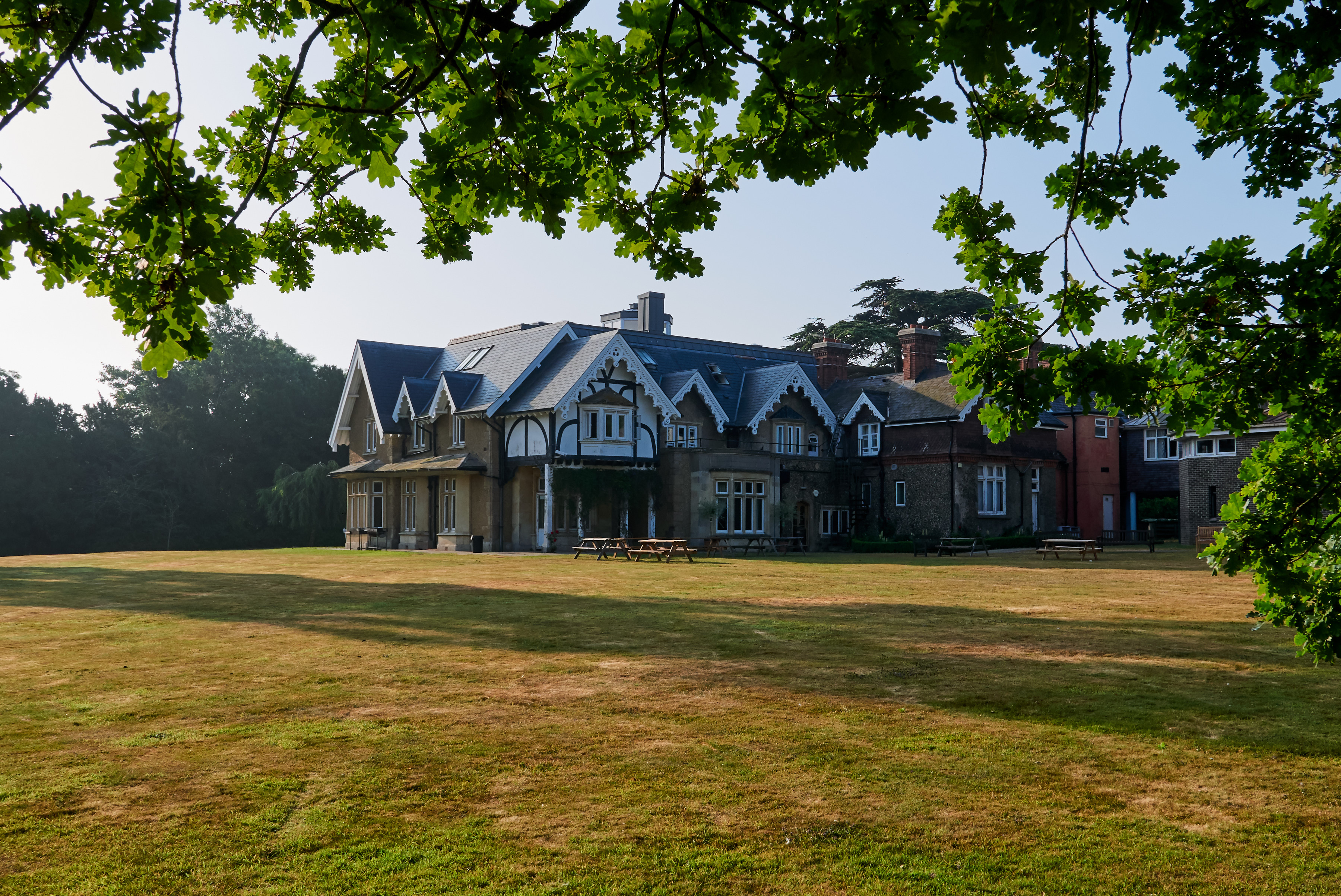
Yehudi Menuhin School
The Yehudi Menuhin School is a specialist music school in Stoke d'Abernon, Surrey, England, founded in 1963 by violinist and conductor Yehudi Menuhin....

Cobham Training Centre
The Cobham Training Centre, is the training ground of Chelsea Football Club located in the village of Stoke d'Abernon near the village of Cobham, Surrey...

Bookham Lodge
The Grange is a gothic regency manor house in Stoke d'Abernon, Surrey that dates back to the 15th Century. It was part of the Eastwick Manor estate and...
Stoke d'Abernon
Stoke d'Abernon () is a village and former civil parish in the borough of Elmbridge in Surrey, England. It is on the right bank of the River Mole contiguously...

Cobham & Stoke d'Abernon railway station
Cobham & Stoke d'Abernon railway station is in the village of Stoke d'Abernon in Surrey, England and also serves the nearby town of Cobham. It is 18 miles...
Colony Bog and Bagshot Heath
Colony Bog and Bagshot Heath is a 1,130.5-hectare (2,794-acre) biological Site of Special Scientific Interest between Camberley and Woking in Surrey, England...
Nearby Amenities
Located within 500m of 51.312716,-0.37461225Have you been to Old Parks Copse?
Leave your review of Old Parks Copse below (or comments, questions and feedback).