Newbuildings Plantation
Wood, Forest in Sussex Horsham
England
Newbuildings Plantation
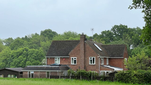
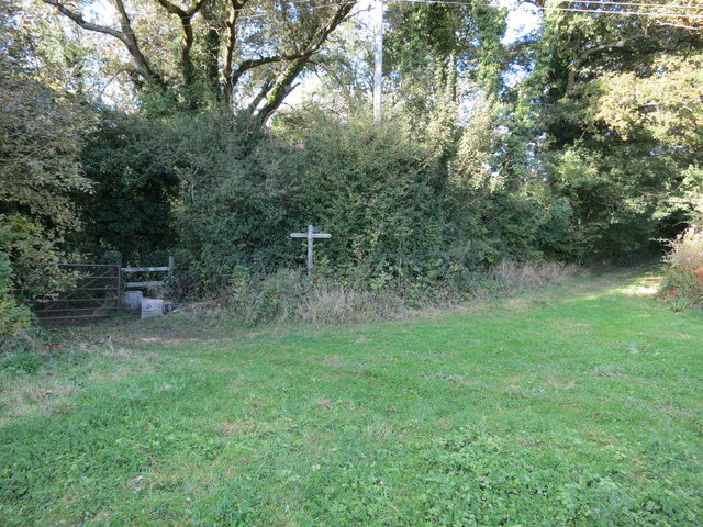
Newbuildings Plantation is a woodland located in Sussex, England. It is situated in the southern part of the county, near the town of Horsham. Covering an area of approximately 200 acres, the plantation is predominantly made up of different species of trees, creating a diverse and vibrant forest ecosystem.
The woodland is known for its dense canopy of deciduous and evergreen trees, including oak, beech, ash, and pine. These trees provide a habitat for a variety of wildlife, such as birds, squirrels, and deer. The forest floor is covered in a rich carpet of moss and ferns, creating a lush and verdant undergrowth.
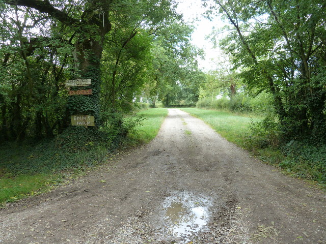
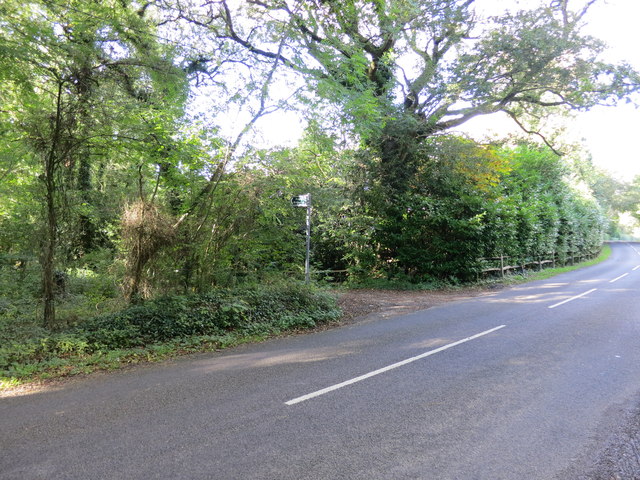
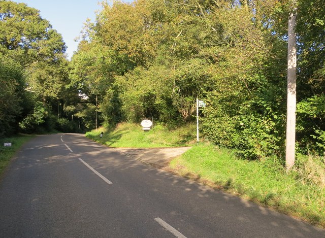
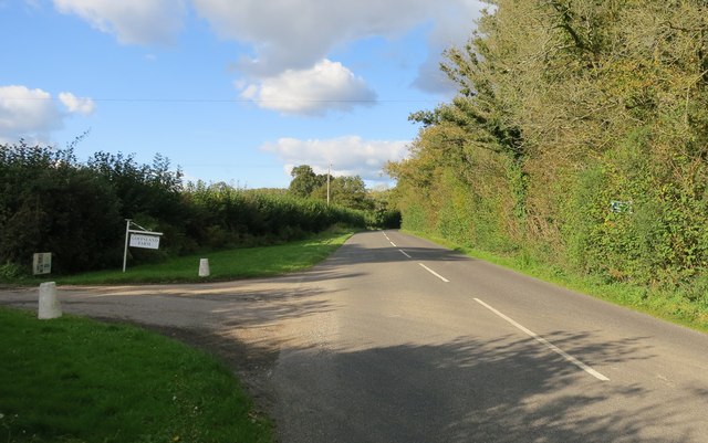
Newbuildings Plantation is a popular destination for nature enthusiasts and hikers. It offers numerous walking trails that wind through the woods, allowing visitors to immerse themselves in the peaceful and serene surroundings. The trails vary in difficulty, catering to both casual strollers and more experienced hikers.
The plantation also serves as a recreational area, with picnic spots and designated areas for camping. It provides an opportunity for families and friends to gather and enjoy the natural beauty of the woodland. The plantation is well-maintained, with clear signage and well-defined paths, ensuring visitors can navigate through the forest easily.
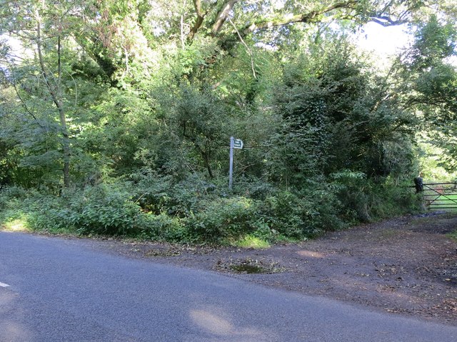
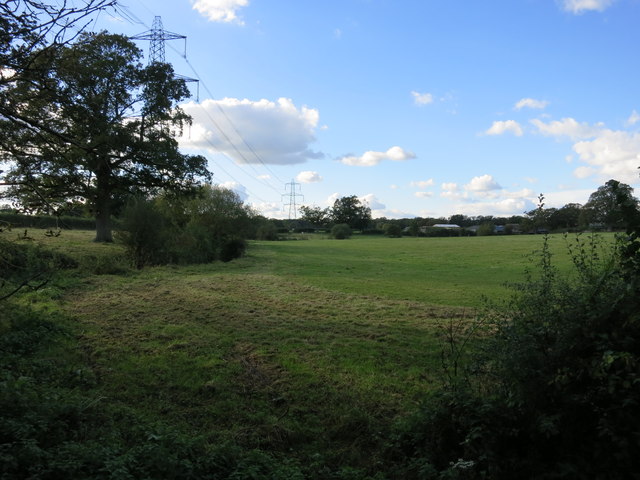
In addition to its recreational value, Newbuildings Plantation plays a vital role in the preservation of the local ecosystem. The woodland helps to mitigate air pollution, reduce soil erosion, and provide a natural habitat for a wide range of plant and animal species.
Overall, Newbuildings Plantation in Sussex is a picturesque and ecologically important woodland that offers a tranquil escape for visitors while contributing to the conservation of the natural environment.
If you have any feedback on the listing, please let us know in the comments section below.
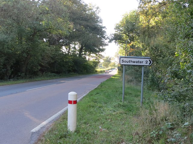
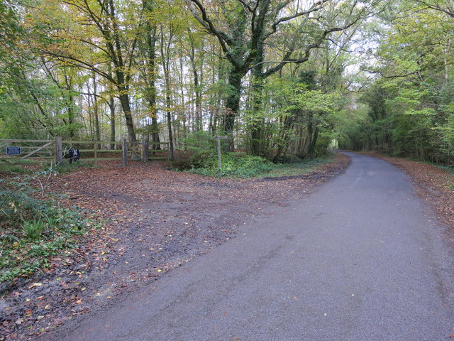
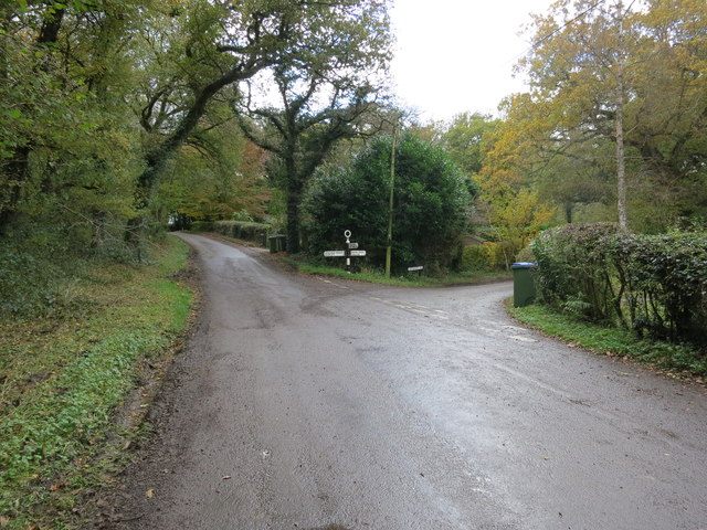
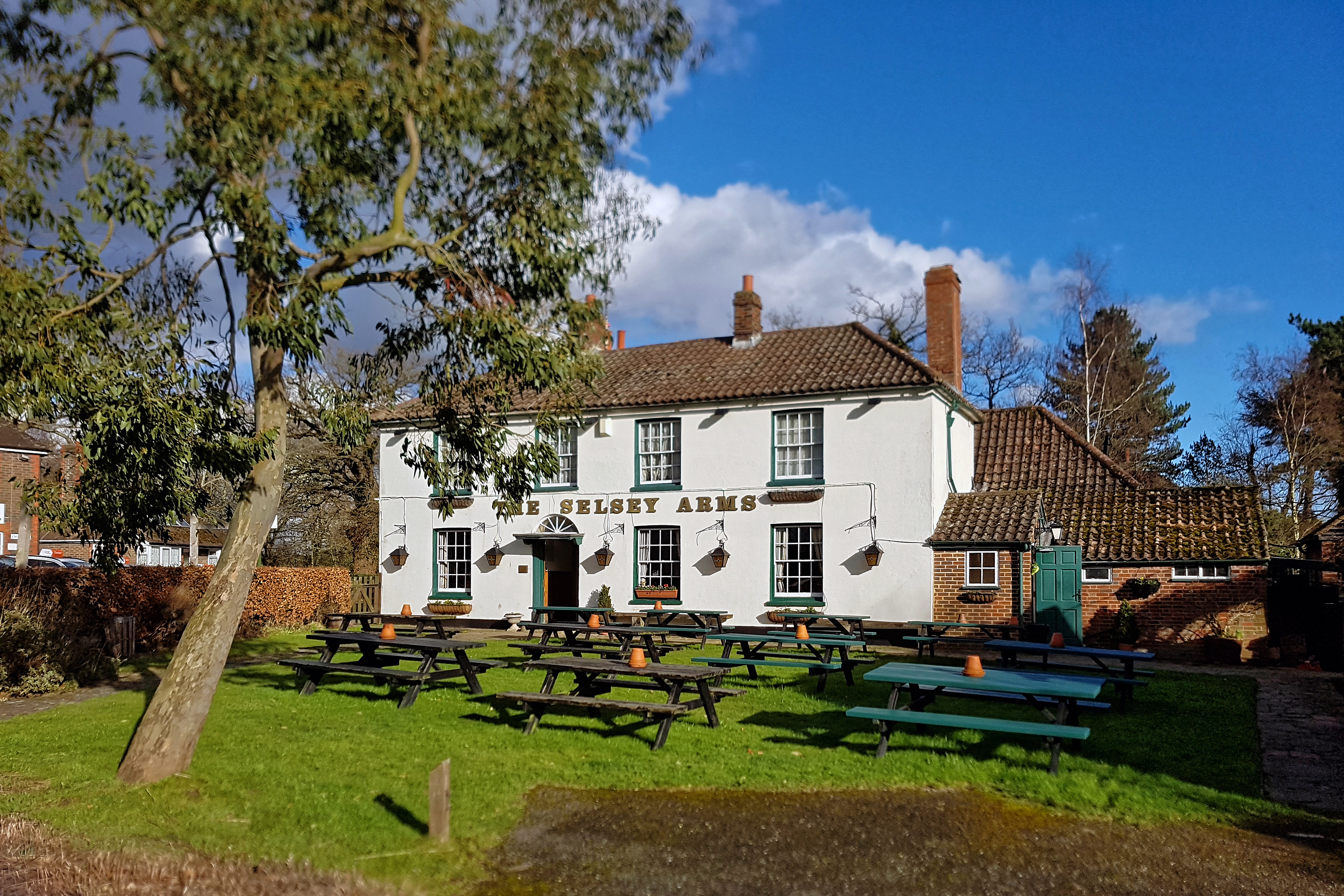
Newbuildings Plantation Images
Images are sourced within 2km of 51.007005/-0.38097289 or Grid Reference TQ1324. Thanks to Geograph Open Source API. All images are credited.


Newbuildings Plantation is located at Grid Ref: TQ1324 (Lat: 51.007005, Lng: -0.38097289)
Administrative County: West Sussex
District: Horsham
Police Authority: Sussex
What 3 Words
///stolen.moon.prevents. Near Southwater, West Sussex
Nearby Locations
Related Wikis

Newbuildings Place
Newbuildings Place is a 17th-century Artisan Mannerist house near Shipley, West Sussex. The house is a former home of Wilfrid Scawen Blunt, who is buried...

Brooks Green
Brooks Green is a hamlet in the Shipley civil parish of the Horsham District of West Sussex, England. It is in the north-west of the parish, approximately...

Dragon's Green
Dragon's Green is a hamlet in the civil parish of Shipley, and the Horsham district of West Sussex, England. The hamlet is 5 miles (8 km) south from the...

Parson's Brook
Parson's Brook is a minor river (brook) located in the Horsham District of West Sussex, England. It is a tributary to the River Adur. == Course == The...
Coolham
Coolham is a small village in the civil parish of Shipley and the Horsham District of West Sussex, England. It is located at the crossroads of the A272...

RAF Coolham
Royal Air Force Coolham or more simply RAF Coolham is a former Royal Air Force Advanced Landing Ground located in West Sussex, England. The following units...
Shipley, West Sussex
Shipley is a village and civil parish in the Horsham District of West Sussex, England. It lies just off the A272 road 6 miles (10 kilometres) north-east...
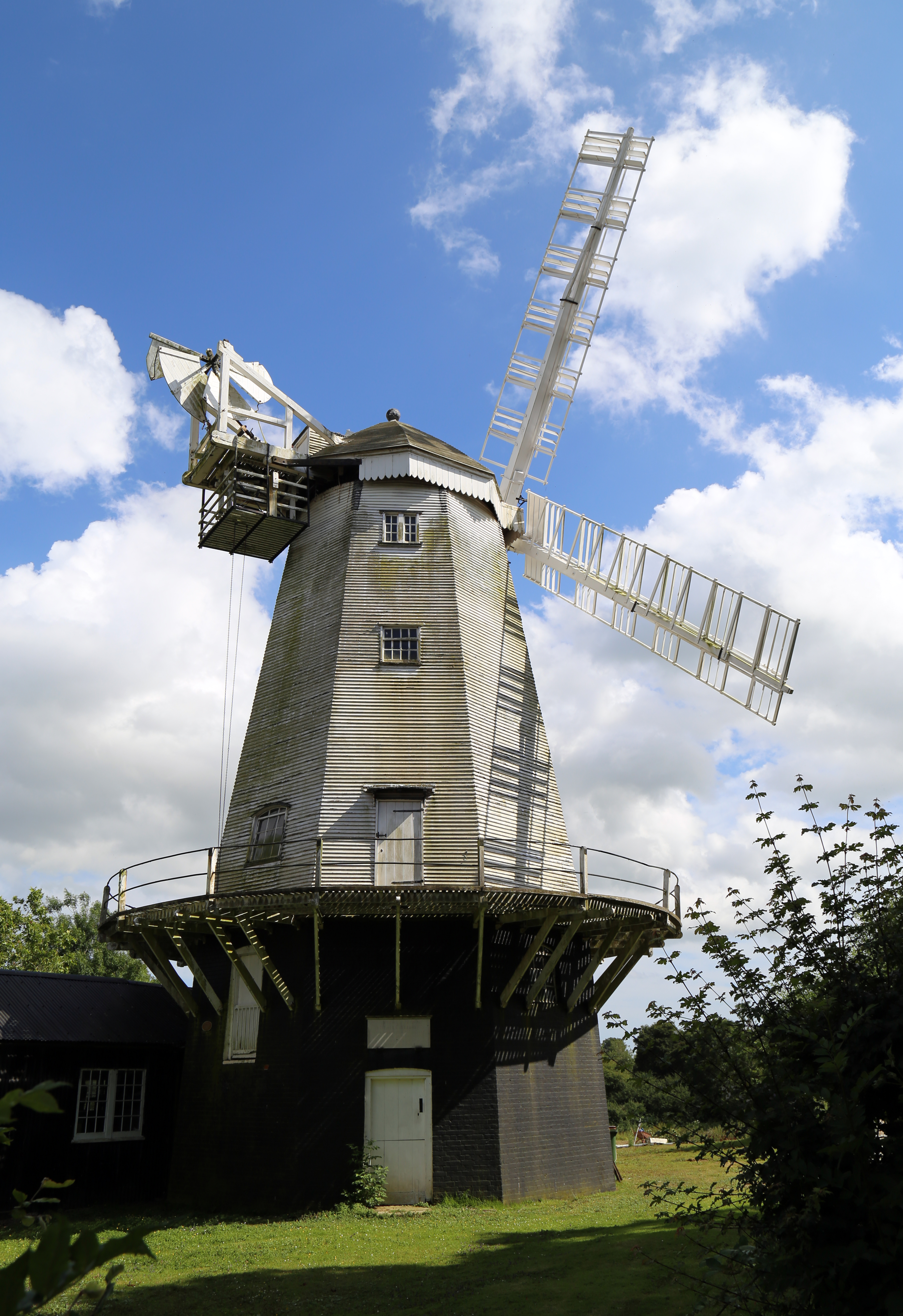
King's Mill, Shipley
King's Mill or Vincent's Mill, Shipley, West Sussex, England, is a smock mill built in 1879. == History == King's Mill was built in 1879 for Friend Martin...
Nearby Amenities
Located within 500m of 51.007005,-0.38097289Have you been to Newbuildings Plantation?
Leave your review of Newbuildings Plantation below (or comments, questions and feedback).