Northlands Wood
Wood, Forest in Sussex Horsham
England
Northlands Wood
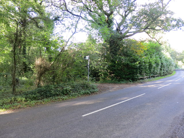
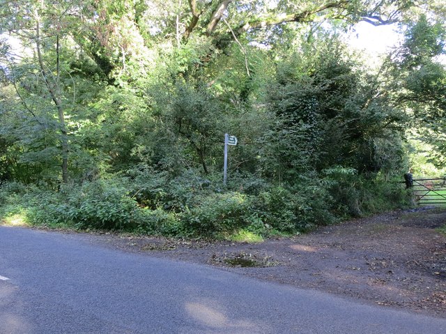
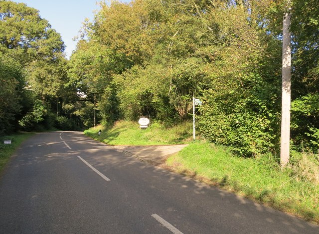
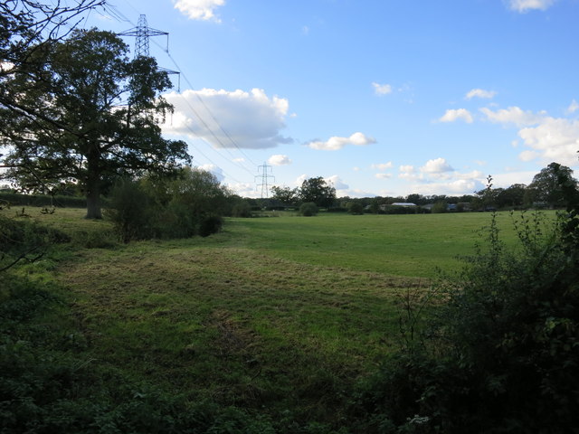
Northlands Wood, located in Sussex, England, is a picturesque woodland area covering approximately 27 acres. Situated near the village of Haywards Heath, it forms part of the extensive High Weald Area of Outstanding Natural Beauty. The wood offers a serene and tranquil setting, making it a popular destination for nature lovers, walkers, and families.
The woodland is predominantly composed of mixed broadleaf trees, including oak, ash, and beech, which create a diverse and vibrant ecosystem. The dense canopy provides shelter to a variety of wildlife, such as deer, squirrels, and a multitude of bird species, making it a haven for nature enthusiasts and birdwatchers.
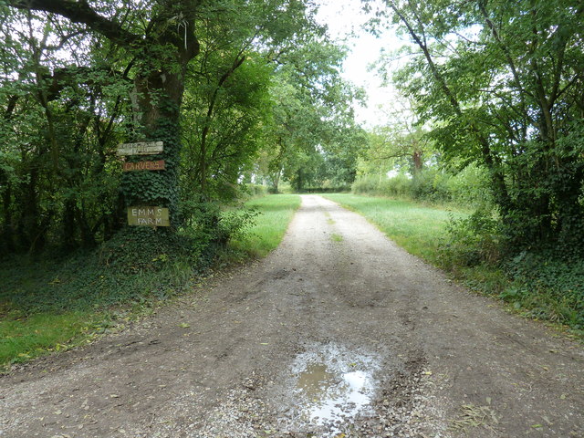
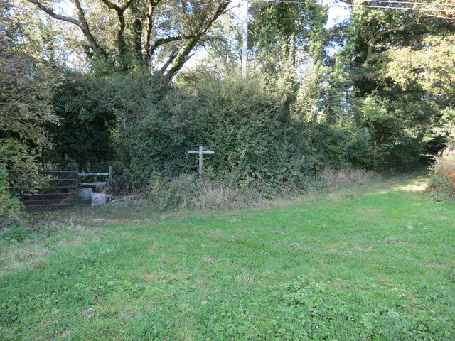
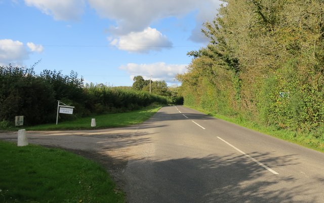
Northlands Wood is well-maintained, with a network of well-marked footpaths and trails, allowing visitors to explore the area at their leisure. The paths wind through the wood, leading to secluded clearings and peaceful glades, offering stunning views of the surrounding countryside. The forest floor is adorned with a carpet of wildflowers, adding a dash of color to the woodland landscape throughout the seasons.
The wood is also home to a small pond, attracting a diverse array of aquatic creatures, including frogs and newts. This water feature serves as an educational resource, allowing visitors to observe and learn about the rich biodiversity of the area.
Northlands Wood is a true gem in the heart of Sussex, offering a tranquil retreat where visitors can immerse themselves in the beauty of nature. Whether it's a leisurely stroll, wildlife spotting, or simply enjoying a picnic amidst the peaceful surroundings, this woodland is a must-visit destination for anyone seeking a respite from the hustle and bustle of everyday life.
If you have any feedback on the listing, please let us know in the comments section below.
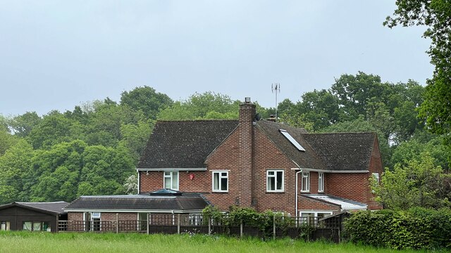
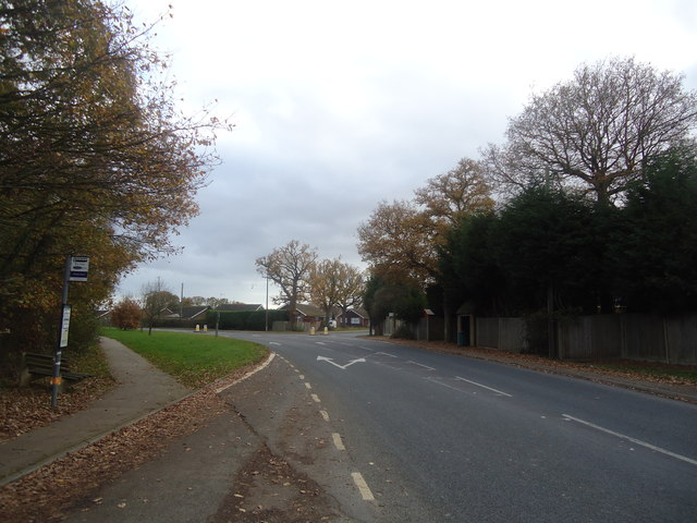
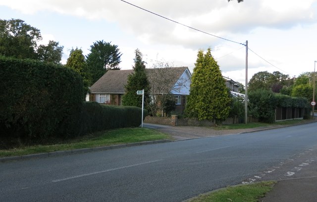
Northlands Wood Images
Images are sourced within 2km of 51.011895/-0.37887812 or Grid Reference TQ1324. Thanks to Geograph Open Source API. All images are credited.


Northlands Wood is located at Grid Ref: TQ1324 (Lat: 51.011895, Lng: -0.37887812)
Administrative County: West Sussex
District: Horsham
Police Authority: Sussex
What 3 Words
///recoup.pounces.watches. Near Southwater, West Sussex
Nearby Locations
Related Wikis

Newbuildings Place
Newbuildings Place is a 17th-century Artisan Mannerist house near Shipley, West Sussex. The house is a former home of Wilfrid Scawen Blunt, who is buried...

Brooks Green
Brooks Green is a hamlet in the Shipley civil parish of the Horsham District of West Sussex, England. It is in the north-west of the parish, approximately...

Dragon's Green
Dragon's Green is a hamlet in the civil parish of Shipley, and the Horsham district of West Sussex, England. The hamlet is 5 miles (8 km) south from the...

Holy Innocents Church, Southwater
Holy Innocents Church is the Anglican parish church of Southwater, a village in the Horsham District of West Sussex, England. Built in 1849, the church...

Parson's Brook
Parson's Brook is a minor river (brook) located in the Horsham District of West Sussex, England. It is a tributary to the River Adur. == Course == The...
Southwater
Southwater is a large village and civil parish in the Horsham District of West Sussex, England, with a population of roughly 10,000. It is administered...

Southwater railway station
Southwater was a railway station on the Steyning Line which served the village of Southwater. A goods siding allowed for the transportation of coal and...

Barns Green
Barns Green is a village in the Horsham district of West Sussex, England. It lies on the Billingshurst to Itchingfield road 2+1⁄2 miles (4.0 km) north...
Nearby Amenities
Located within 500m of 51.011895,-0.37887812Have you been to Northlands Wood?
Leave your review of Northlands Wood below (or comments, questions and feedback).