Buddington Bottom
Valley in Sussex Arun
England
Buddington Bottom
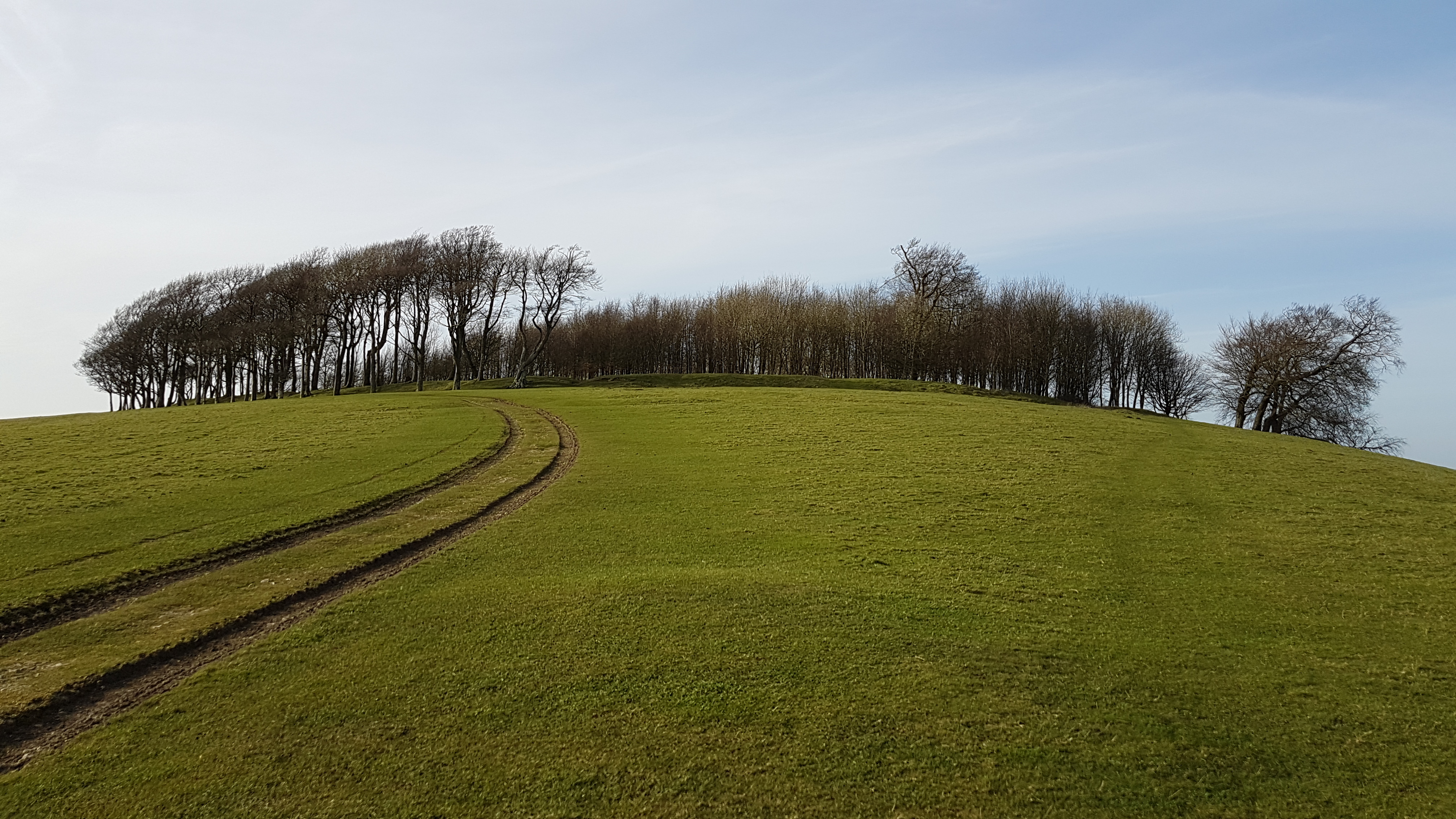
Buddington Bottom, Sussex (Valley), is a picturesque rural area located in the county of Sussex, England. Situated in the southern part of the country, Buddington Bottom is renowned for its stunning natural beauty and tranquil atmosphere.
The valley is named after the small village of Buddington, which lies at its heart. The village itself is characterized by its charming traditional cottages, idyllic gardens, and a quaint village green. The community is tight-knit, with a population of around 500 residents who enjoy a peaceful and close community spirit.
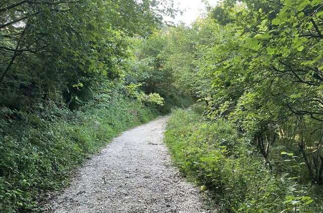
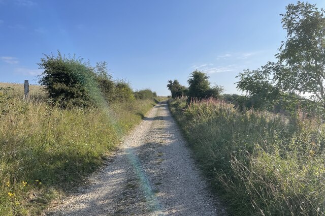
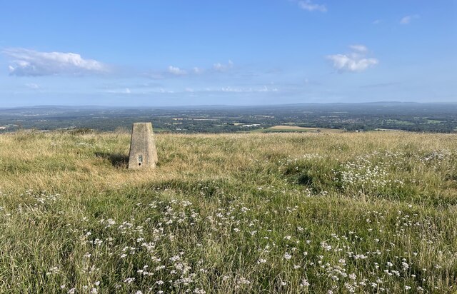
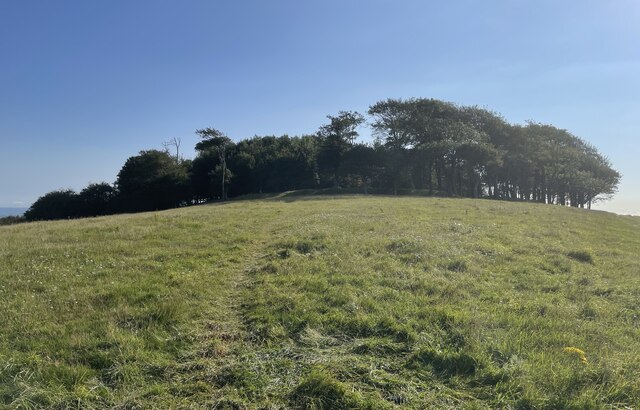
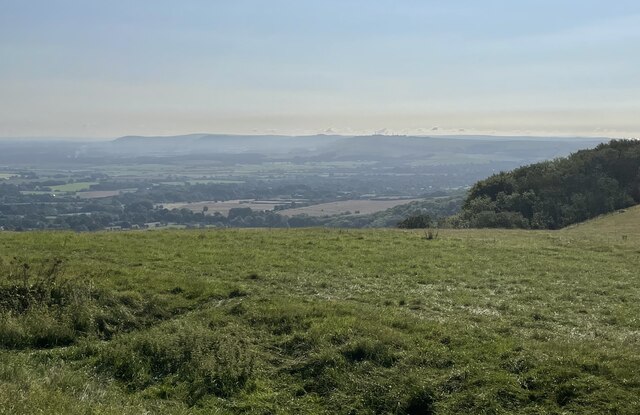
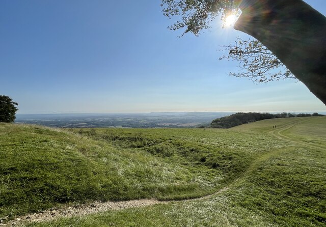
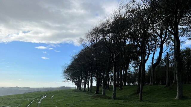
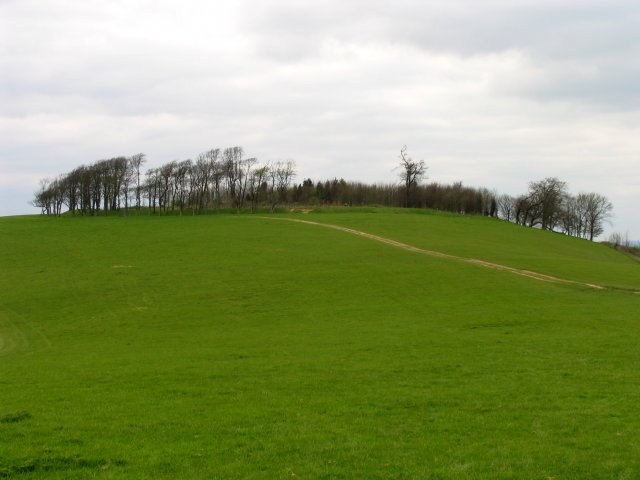
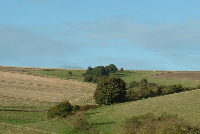
Surrounded by rolling hills and lush green countryside, Buddington Bottom offers breathtaking views and ample opportunities for outdoor activities. The area is intersected by several walking trails, making it a haven for hikers and nature enthusiasts. The valley is also dotted with small streams and ponds, adding to its serene and picturesque charm.
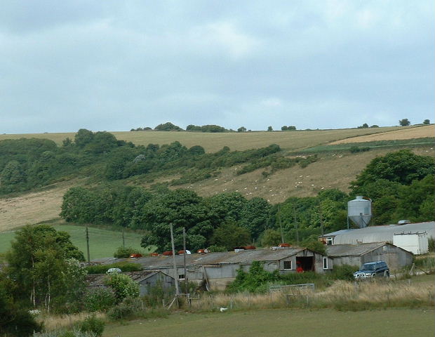
The surrounding farmland in Buddington Bottom is primarily used for agriculture, with fields of crops and grazing livestock dotting the landscape. The area is known for its high-quality produce, including locally grown vegetables and dairy products.
Despite its rural nature, Buddington Bottom is well-connected to the rest of Sussex. The nearby town of Sussexville provides amenities such as shops, schools, and medical facilities, ensuring that residents have access to essential services.
In conclusion, Buddington Bottom, Sussex (Valley), is a tranquil and scenic area that offers a peaceful countryside lifestyle. With its stunning natural beauty, friendly community, and connection to the wider region, it is a highly sought-after location for those seeking a retreat from the bustling city life.
If you have any feedback on the listing, please let us know in the comments section below.
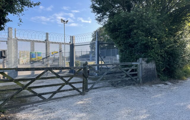
Buddington Bottom Images
Images are sourced within 2km of 50.883187/-0.38664725 or Grid Reference TQ1310. Thanks to Geograph Open Source API. All images are credited.


Buddington Bottom is located at Grid Ref: TQ1310 (Lat: 50.883187, Lng: -0.38664725)
Administrative County: West Sussex
District: Arun
Police Authority: Sussex
What 3 Words
///exulted.innovator.monorail. Near Findon, West Sussex
Nearby Locations
Related Wikis

Chanctonbury Hill
Chanctonbury Hill is an 82.7-hectare (204-acre) biological Site of Special Scientific Interest west of Steyning in West Sussex. Part of it is Chanctonbury...
Chanctonbury Ring
Chanctonbury Ring is a prehistoric hill fort atop Chanctonbury Hill on the South Downs, on the border of the civil parishes of Washington and Wiston in...

Findon, West Sussex
Findon is a semi-rural clustered village and civil parish in the Arun District of West Sussex, England, 4 miles (6.4 km) north of Worthing. == Governance... ==

Windlesham House School
Windlesham House School is an independent boarding and day school for boys and girls aged 4 to 13 on the South Downs, in Pulborough, West Sussex, England...

Washington, West Sussex
Washington is a village and civil parish in the Horsham District of West Sussex, England. It is located five miles (eight kilometres) west of Steyning...

Worthing Downland Estate
The Worthing Downland Estate, Worthing Downs or Worthing Downland, is an area of land in the South Downs National Park in West Sussex, England, close to...
Wiston House
Wiston House is a 16th-century Grade I listed building set in the South Downs National Park on the south coast of England, surrounded by over 6,000 acres...
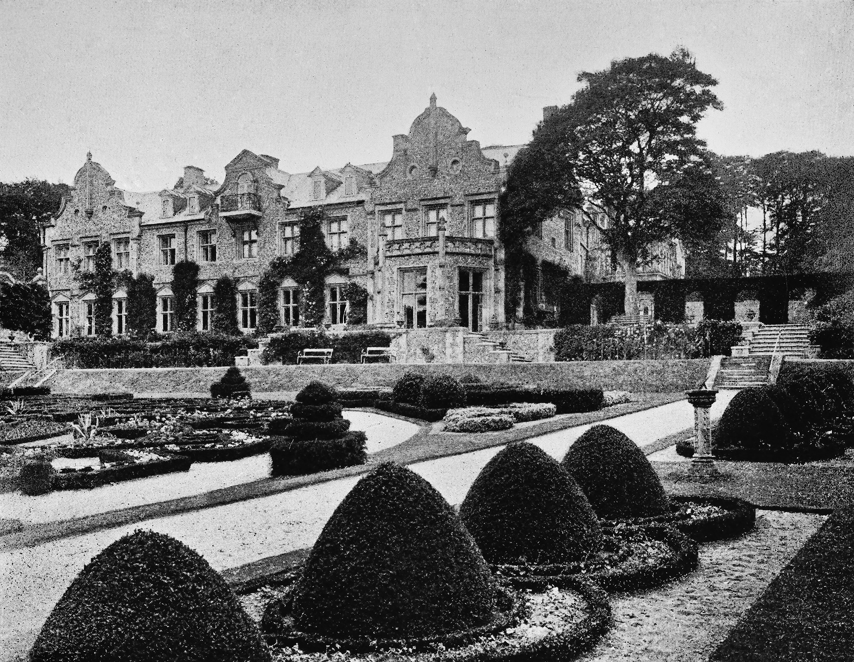
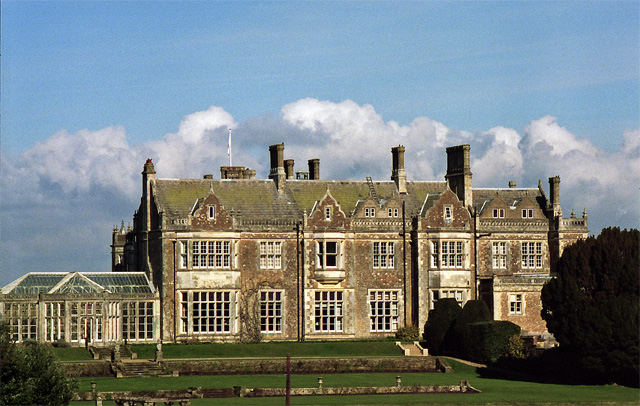
Muntham Court
Muntham Court was a country house and estate near a village of Findon, West Sussex, England. In the 1800s the estate covered 1,890 acres (760 ha). Following...
Nearby Amenities
Located within 500m of 50.883187,-0.38664725Have you been to Buddington Bottom?
Leave your review of Buddington Bottom below (or comments, questions and feedback).