Abinger Bottom
Valley in Surrey Mole Valley
England
Abinger Bottom
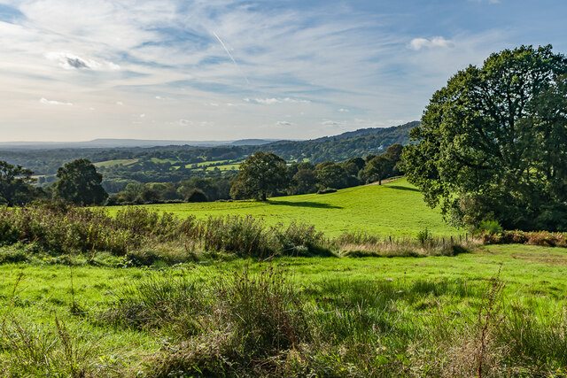
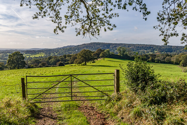
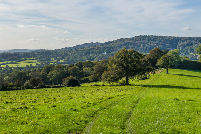
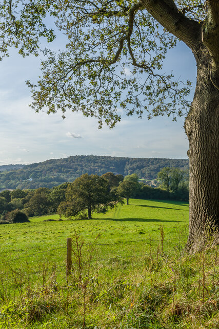
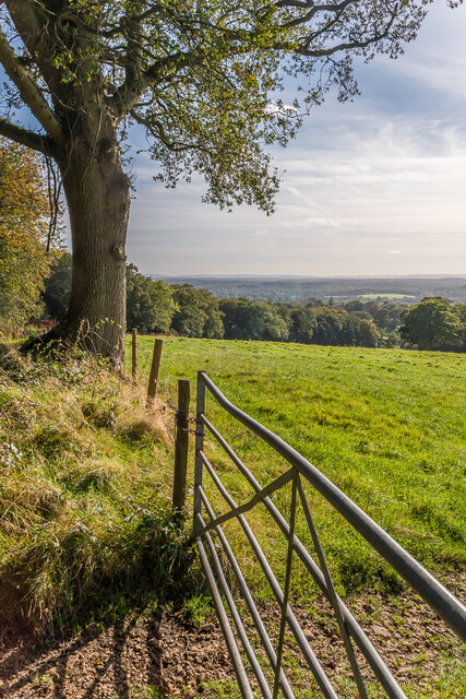
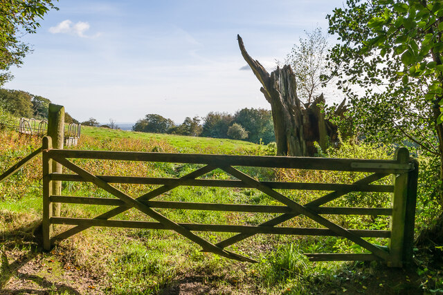
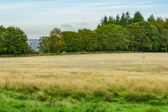
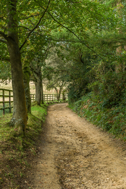
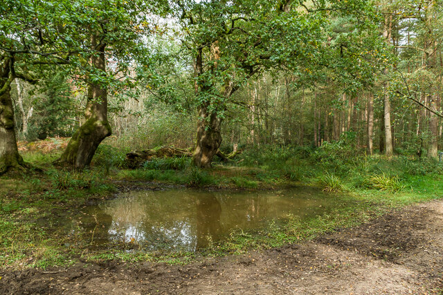
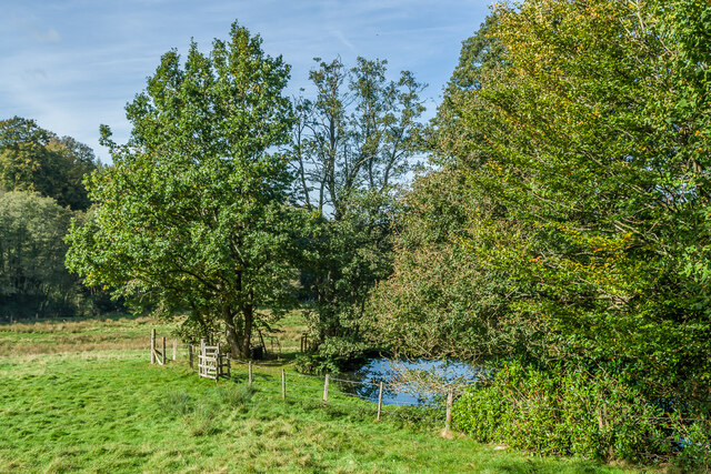
Abinger Bottom is a picturesque valley located in the county of Surrey, England. Situated within the Surrey Hills Area of Outstanding Natural Beauty, it is surrounded by lush greenery and rolling hills, making it a popular destination for nature lovers and outdoor enthusiasts alike.
The valley is named after the small village of Abinger, which lies at its heart. Abinger Bottom is characterized by its tranquil atmosphere and stunning natural landscapes. The area is traversed by the River Tillingbourne, which meanders through the valley, adding to its charm.
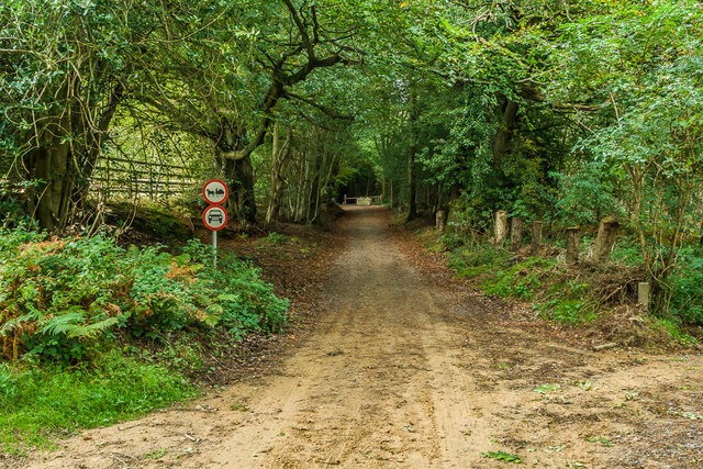
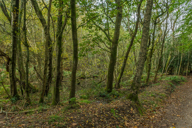
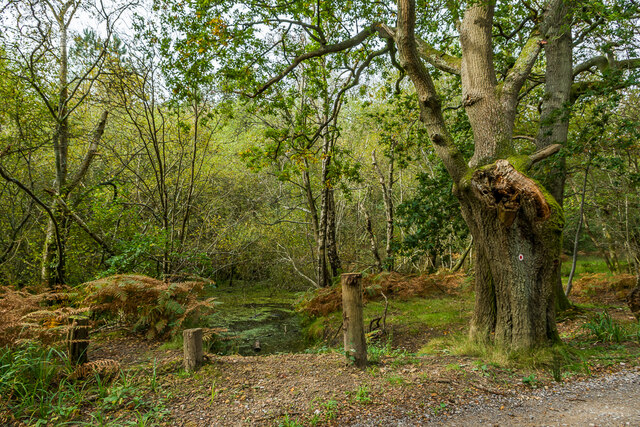
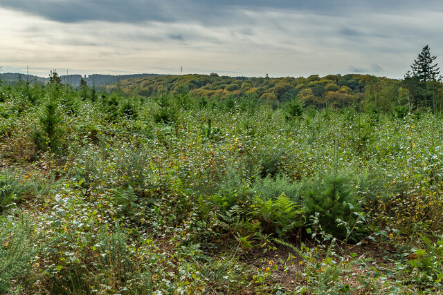
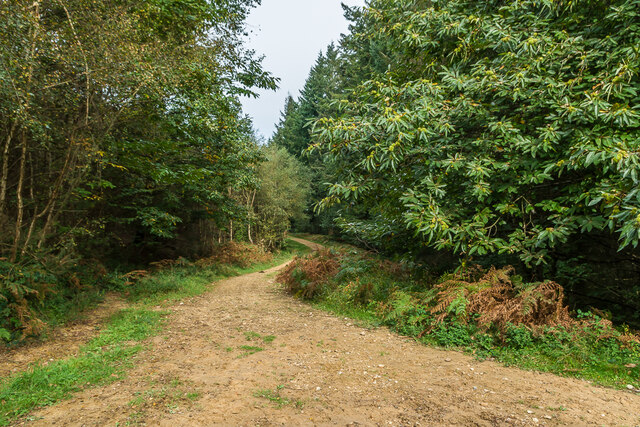
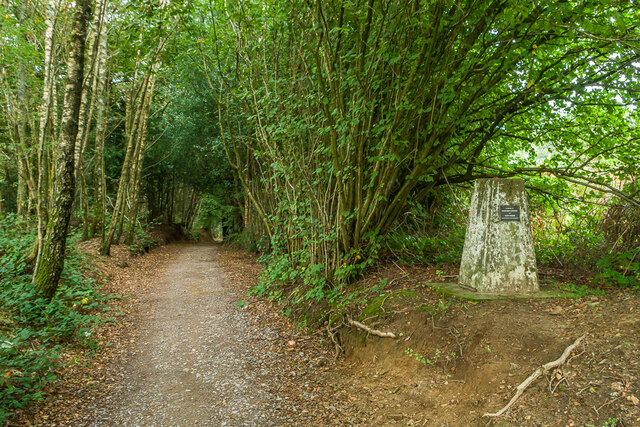
The valley is home to a diverse range of flora and fauna, including ancient woodlands, wildflower meadows, and a variety of bird species. It offers numerous walking and hiking trails, providing visitors with the opportunity to explore its natural beauty up close.
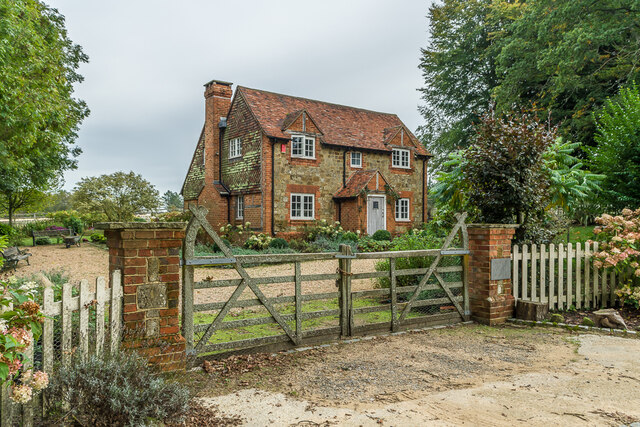
Abinger Bottom is also known for its historical significance. The valley boasts several traditional cottages and historic buildings, showcasing the area's rich heritage. Nearby attractions include Abinger Hammer, a small village with a fascinating industrial history, and the picturesque Leith Hill, which offers stunning panoramic views from its summit.
In terms of amenities, Abinger Bottom offers a range of facilities for visitors, including charming country pubs, quaint tearooms, and cozy bed and breakfast accommodations. The valley's proximity to larger towns and cities, such as Dorking and Guildford, ensures that visitors can easily access a wider array of services and attractions.
Overall, Abinger Bottom is a hidden gem in Surrey, offering a peaceful retreat in the heart of nature, while also providing opportunities for exploration and discovery.
If you have any feedback on the listing, please let us know in the comments section below.
Abinger Bottom Images
Images are sourced within 2km of 51.190864/-0.38882028 or Grid Reference TQ1244. Thanks to Geograph Open Source API. All images are credited.

Abinger Bottom is located at Grid Ref: TQ1244 (Lat: 51.190864, Lng: -0.38882028)
Administrative County: Surrey
District: Mole Valley
Police Authority: Surrey
What 3 Words
///camera.react.certified. Near Westcott, Surrey
Nearby Locations
Related Wikis

Friday Street
Friday Street is a hamlet on the gentle lower north slope of Leith Hill in Surrey, England. It is in a wooded headwater ravine, just to the south of Wotton...

Wotton and Abinger Commons
Wotton and Abinger Commons is a 324-hectare (800-acre) nature reserve south-west of Dorking in Surrey. It is managed by the Surrey Wildlife Trust. Part...

Leith Hill SSSI
Leith Hill SSSI is a 337.9-hectare (835-acre) biological Site of Special Scientific Interest south-east of Dorking in Surrey. The SSSI consists of four...

Abinger
Abinger is a large, well-wooded and mostly rural civil parish that lies between the settlements of Dorking, Shere and Ewhurst in the district of Mole Valley...

Goddards
Goddards is a Grade II*-listed house in Abinger Common, Surrey, England. It was designed by Edwin Lutyens in 1898–1900 in the ideals of the Arts and Crafts...

Belmont School, Surrey
Belmont is an independent co-educational school in Surrey which takes pupils from the ages of 3 to 16. The school is a charitable trust, administered...

Holmbury St Mary
Holmbury St Mary is a village in Surrey, England centered on shallow upper slopes of the Greensand Ridge. Its developed area is a nucleated village, 4...

Abinger Common War Memorial
Abinger Common War Memorial is a First World War memorial in the village of Abinger Common in Surrey, south-eastern England. The memorial was destroyed...
Nearby Amenities
Located within 500m of 51.190864,-0.38882028Have you been to Abinger Bottom?
Leave your review of Abinger Bottom below (or comments, questions and feedback).