Abinger Bottom

Settlement in Surrey Mole Valley

England

Abinger Bottom

West from near Tanhurst Looking west from near Tanhurst, on the western slopes of Leith Hill.  In the far distance is Black Down.
West from near Tanhurst Credit: Ian Capper

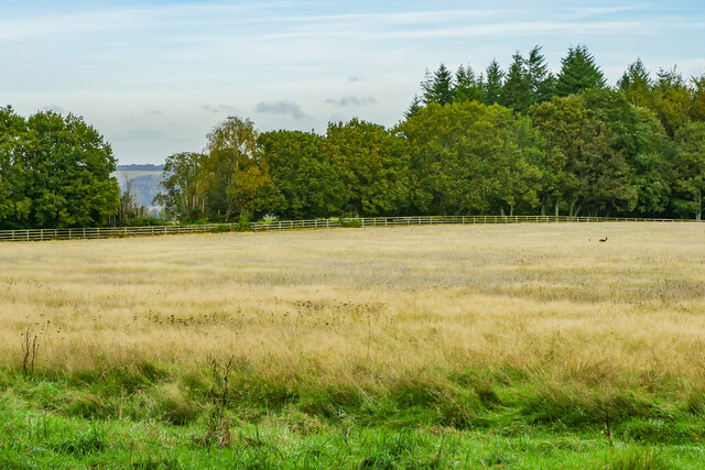
Abinger Bottom is a small village located in the county of Surrey, England. Situated in the southeastern part of the country, it is nestled within the picturesque countryside of the Surrey Hills Area of Outstanding Natural Beauty. The village is part of the larger parish of Abinger, and is surrounded by lush green fields and rolling hills, offering residents and visitors a tranquil and idyllic setting.

Despite its small size, Abinger Bottom has a rich history that can be traced back to medieval times. The village is home to several historic buildings, including St. James' Church, which dates back to the 12th century and features impressive Norman architecture. The church is a focal point of the community, hosting regular services and community events.

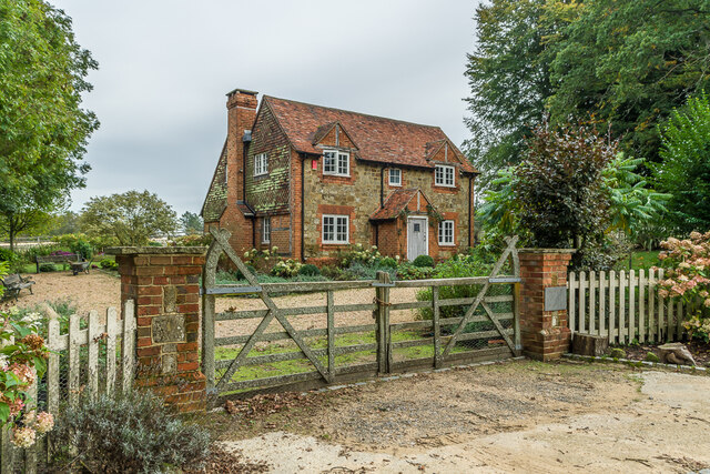
The village itself consists of a small cluster of houses and cottages, giving it a quaint and charming atmosphere. There is also a local pub, The Abinger Hatch, which serves as a popular gathering spot for both locals and visitors. The pub offers a selection of traditional British dishes and a variety of locally brewed ales.

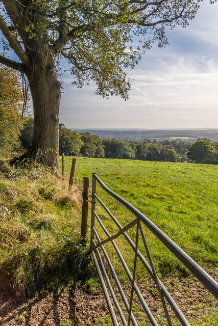
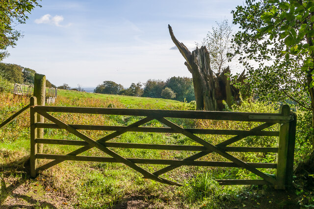
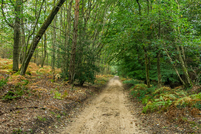
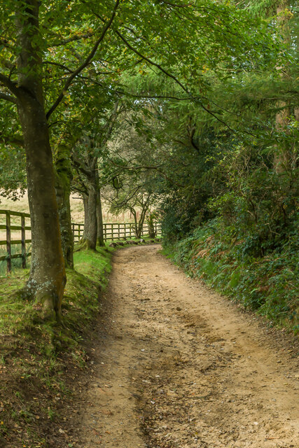
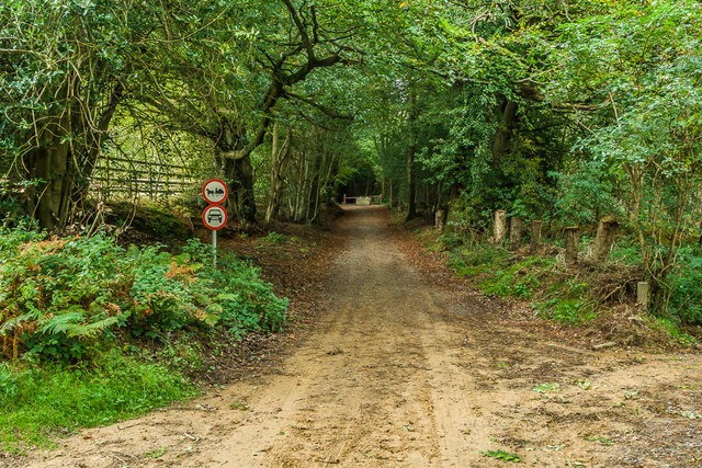
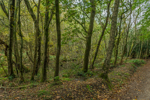
Abinger Bottom is a haven for nature lovers and outdoor enthusiasts, with numerous walking and cycling trails crisscrossing the surrounding countryside. The village is also located near several natural attractions, including the picturesque Abinger Hammer, a historic village known for its old mill and beautiful surrounding countryside.

Overall, Abinger Bottom offers a peaceful and picturesque escape from the bustling city life, making it an attractive destination for those seeking a rural retreat in the heart of Surrey.

If you have any feedback on the listing, please let us know in the comments section below.

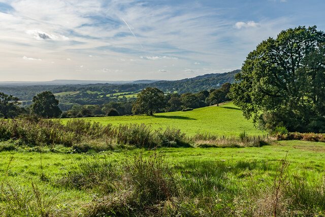
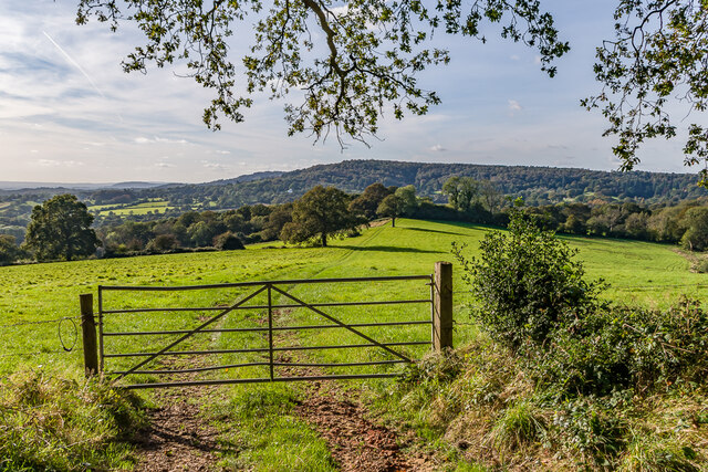
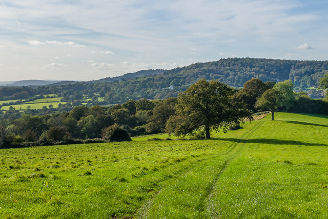
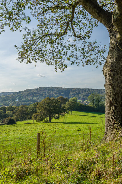
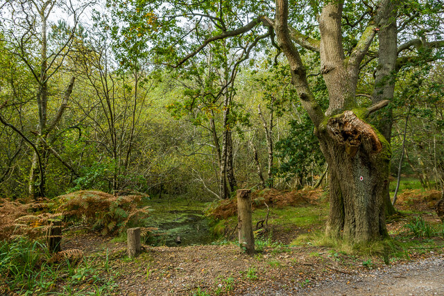
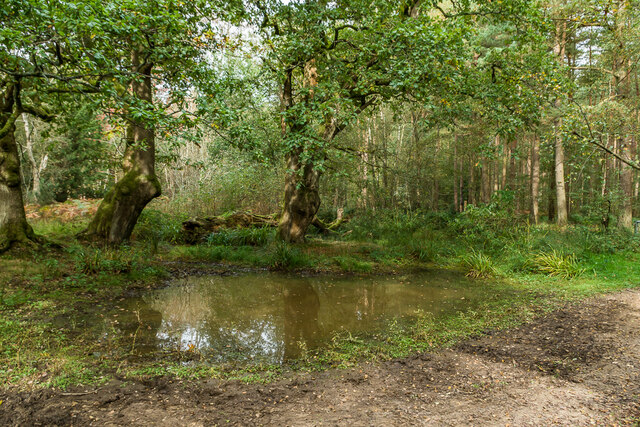
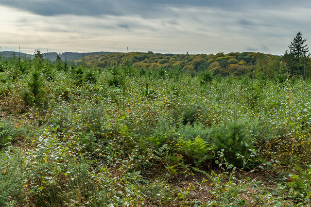
Abinger Bottom Images

Images are sourced within 2km of 51.190958/-0.38780094 or Grid Reference TQ1244. Thanks to Geograph Open Source API. All images are credited.

West from near Tanhurst Looking west from near Tanhurst, on the western slopes of Leith Hill.  In the far distance is Black Down.
West from near Tanhurst
Looking west from near Tanhurst, on the western slopes of Leith Hill. In the far distance is Black Down.
West from near Tanhurst Looking west from near Tanhurst, on the western slopes of Leith Hill.  In the distance is Holmbury Hill.
West from near Tanhurst
Looking west from near Tanhurst, on the western slopes of Leith Hill. In the distance is Holmbury Hill.
West from near Tanhurst Looking west from near Tanhurst, on the western slopes of Leith Hill.  In the distance is Holmbury Hill.
West from near Tanhurst
Looking west from near Tanhurst, on the western slopes of Leith Hill. In the distance is Holmbury Hill.
West from near Tanhurst Looking west from near Tanhurst, on the western slopes of Leith Hill.  In the distance is Holmbury Hill.
West from near Tanhurst
Looking west from near Tanhurst, on the western slopes of Leith Hill. In the distance is Holmbury Hill.
South from near Tanhurst Looking south from near Tanhurst, on the western slopes of Leith Hill.  In the far distance are the South Downs.
South from near Tanhurst
Looking south from near Tanhurst, on the western slopes of Leith Hill. In the far distance are the South Downs.
South from above Tanhurst Looking south from above Tanhurst, on the western slopes of Leith Hill.
South from above Tanhurst
Looking south from above Tanhurst, on the western slopes of Leith Hill.
Drinking trough Drinking trough and fountain near the summit of Leith Hill.  Originally installed in Roehampton Vale, Wandsworth, by the Metropolitan Drinking Fountain and Cattle Trough Association, it was moved here in July 2018 with the support of the charity (now known as The Drinking Fountain Association).
Drinking trough
Drinking trough and fountain near the summit of Leith Hill. Originally installed in Roehampton Vale, Wandsworth, by the Metropolitan Drinking Fountain and Cattle Trough Association, it was moved here in July 2018 with the support of the charity (now known as The Drinking Fountain Association).
Leith Hill Tower Tower on the summit of Leith Hill, built in 1774-5 with the stair turret added in 1864.  Grade II listed - see <span class="nowrap"><a title="www.historicengland.org.uk/listing/the-list/list-entry/1028808" rel="nofollow ugc noopener" href="http://www.historicengland.org.uk/listing/the-list/list-entry/1028808">Link</a><img style="margin-left:2px;" alt="External link" title="External link - shift click to open in new window" src="https://s1.geograph.org.uk/img/external.png" width="10" height="10"/></span>.
Leith Hill Tower
Tower on the summit of Leith Hill, built in 1774-5 with the stair turret added in 1864. Grade II listed - see LinkExternal link.
Leith Hill summit The summit of Leith Hill, with the drinking trough installed in 2018 on the left (see <a href="https://www.geograph.org.uk/photo/6994981">TQ1343 : Drinking trough</a> and Leith Hill Tower in the background (see <a href="https://www.geograph.org.uk/photo/6994999">TQ1343 : Leith Hill Tower</a>).
Leith Hill summit
The summit of Leith Hill, with the drinking trough installed in 2018 on the left (see TQ1343 : Drinking trough and Leith Hill Tower in the background (see TQ1343 : Leith Hill Tower).
Wolvens Lane Byway between Coldharbour and Wotton.
Wolvens Lane
Byway between Coldharbour and Wotton.
Field Field off Wolvens Lane, a byway between Coldharbour and Wotton.  A couple of Roe Deer can be seen towards the right of the photo.  In the far distance are the North Downs.
Field
Field off Wolvens Lane, a byway between Coldharbour and Wotton. A couple of Roe Deer can be seen towards the right of the photo. In the far distance are the North Downs.
Wolvens Lane Byway between Coldharbour and Wotton.
Wolvens Lane
Byway between Coldharbour and Wotton.
Upper Merriden Cottage Remote house on Wolvens Lane, a byway between Coldharbour and Wotton.  The current building dates from the early 2000s, replacing an earlier slightly smaller forester's cottage on the same site but nearer the lane, which had been damaged by fire.
Upper Merriden Cottage
Remote house on Wolvens Lane, a byway between Coldharbour and Wotton. The current building dates from the early 2000s, replacing an earlier slightly smaller forester's cottage on the same site but nearer the lane, which had been damaged by fire.
Wolvens Lane Byway between Coldharbour and Wotton.  Although it is a "BOAT" (Byway open to all traffic), there is currently a temporary closure to four wheel drive vehicles (and horses and carts!), to avoid damage to recent repairs, as indicated by the signs here).  A consultation is currently under way to make the closure permanent.
Wolvens Lane
Byway between Coldharbour and Wotton. Although it is a "BOAT" (Byway open to all traffic), there is currently a temporary closure to four wheel drive vehicles (and horses and carts!), to avoid damage to recent repairs, as indicated by the signs here). A consultation is currently under way to make the closure permanent.
Tankards Pond Partly overgrown pond alongside Wolvens Lane, a byway between Coldharbour and Wotton.
Tankards Pond
Partly overgrown pond alongside Wolvens Lane, a byway between Coldharbour and Wotton.
Tankards Pond Partly overgrown pond alongside Wolvens Lane, a byway between Coldharbour and Wotton.
Tankards Pond
Partly overgrown pond alongside Wolvens Lane, a byway between Coldharbour and Wotton.
Pond A small pond just north of the larger Tankards Pond, alongside Wolvens Lane, a byway between Coldharbour and Wotton.
Pond
A small pond just north of the larger Tankards Pond, alongside Wolvens Lane, a byway between Coldharbour and Wotton.
Replanted woodland Replanted woodland off Wolvens Lane, a byway between Coldharbour and Wotton.  In the left distance can be seen the tower on the summit of Leith Hill.
Replanted woodland
Replanted woodland off Wolvens Lane, a byway between Coldharbour and Wotton. In the left distance can be seen the tower on the summit of Leith Hill.
Show me another place!

Abinger Bottom is located at Grid Ref: TQ1244 (Lat: 51.190958, Lng: -0.38780094)

Administrative County: Surrey

District: Mole Valley

Police Authority: Surrey

What 3 Words

///hero.giving.common. Near Westcott, Surrey

Related Wikis

Friday Street

Friday Street is a hamlet on the gentle lower north slope of Leith Hill in Surrey, England. It is in a wooded headwater ravine, just to the south of Wotton...

Wotton and Abinger Commons

Wotton and Abinger Commons is a 324-hectare (800-acre) nature reserve south-west of Dorking in Surrey. It is managed by the Surrey Wildlife Trust. Part...

Leith Hill SSSI

Leith Hill SSSI is a 337.9-hectare (835-acre) biological Site of Special Scientific Interest south-east of Dorking in Surrey. The SSSI consists of four...

Abinger

Abinger is a large, well-wooded and mostly rural civil parish that lies between the settlements of Dorking, Shere and Ewhurst in the district of Mole Valley...

Goddards

Goddards is a Grade II*-listed house in Abinger Common, Surrey, England. It was designed by Edwin Lutyens in 1898–1900 in the ideals of the Arts and Crafts...

Belmont School, Surrey

Belmont is an independent co-educational school in Surrey which takes pupils from the ages of 3 to 16. The school is a charitable trust, administered...

Holmbury St Mary

Holmbury St Mary is a village in Surrey, England centered on shallow upper slopes of the Greensand Ridge. Its developed area is a nucleated village, 4...

Abinger Common War Memorial

Abinger Common War Memorial is a First World War memorial in the village of Abinger Common in Surrey, south-eastern England. The memorial was destroyed...

Related Videos

Hiking to Leith Hill - Shot with Fujifilm X-H2S

This was an organised hike to Leith Hill in Surrey with the LGBTQ+ and allied group Trek/Fit. In this video I show the beautiful ...

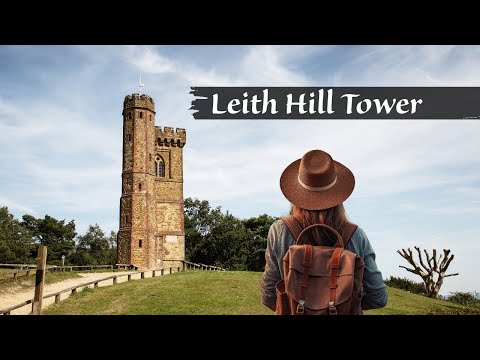
LEITH HILL TOWER | Drone 4k | National Trust Walk | Day Hike Saturday | 🇬🇧 Hiking UK | England

Holmwood to Gomshall walk Next event: http://www.senderismoenlondres.co.uk/events.html A very pretty forest walk, quite close ...

Leith Hill | Gomshall to Dorking Walk | 4K | Day Hike Saturday | 🇬🇧 Hiking UK | England

This walk starts at Leigh station and heads west through parkland to the attractive village of Penshurst. After crossing the River ...

Nearby Amenities

Located within 500m of 51.190958,-0.38780094
Abinger Bottom
Place: locality
Source: npe
Lat/Long: 51.1926594/-0.387419
Barrier: kissing_gate
Lat/Long: 51.1871908/-0.3844462
Barrier: kissing_gate
Lat/Long: 51.1868932/-0.385938
Barrier: kissing_gate
Lat/Long: 51.189792/-0.3829399
Post Box
Collection Times: Mo-Fr 09:00; Sa 07:00
Operator: Royal Mail
Operator Wikidata: Q638098
Post Box Type: wall
Ref: RH5 106D
Royal Cypher: EIIR
Royal Cypher Wikidata: Q33102113
Lat/Long: 51.1914032/-0.3888083
The data included in this document is from www.openstreetmap.org. The data is made available under ODbL.

Have you been to Abinger Bottom?

Leave your review of Abinger Bottom below (or comments, questions and feedback).