Sewer's Copse
Wood, Forest in Surrey Mole Valley
England
Sewer's Copse

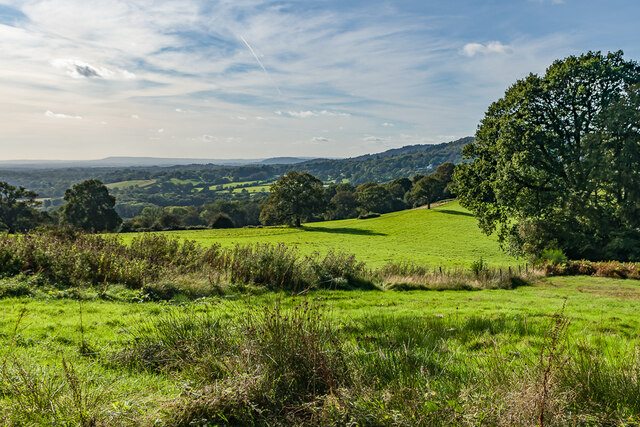
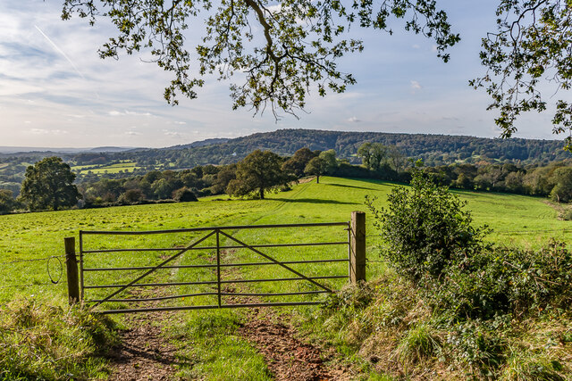
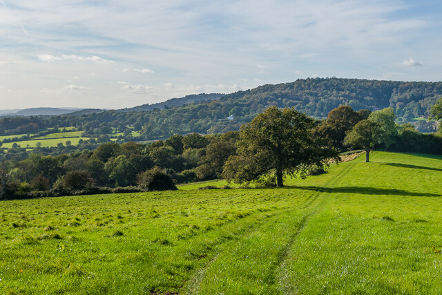
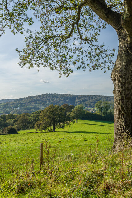
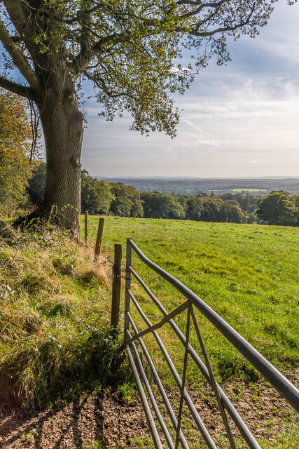
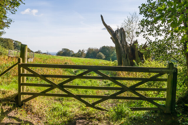
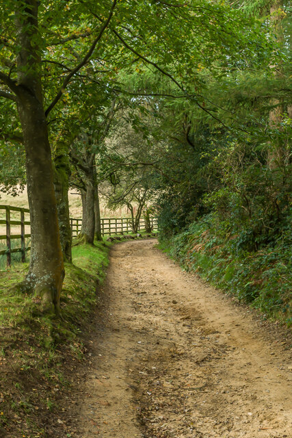
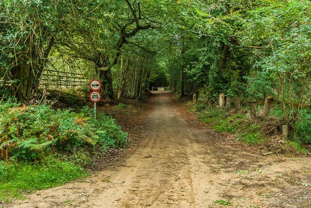
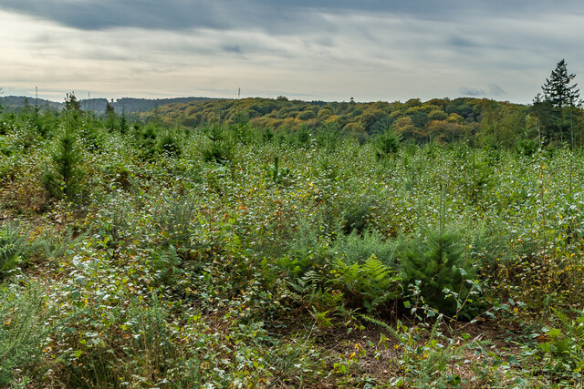
Sewer's Copse, located in Surrey, England, is an enchanting woodland area that boasts lush flora and diverse wildlife. Covering an area of approximately 100 acres, this captivating forest is renowned for its natural beauty and tranquil ambiance. Situated in the heart of Surrey, Sewer's Copse is easily accessible and attracts nature enthusiasts, hikers, and photographers alike.
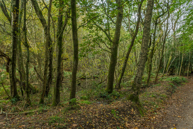
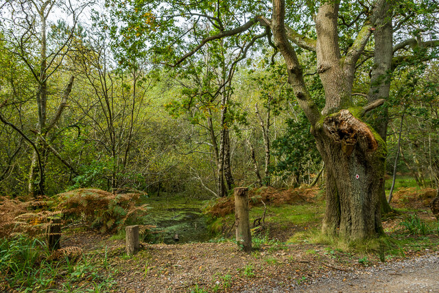
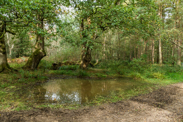
The copse is characterized by a dense canopy of ancient trees, predominantly oak and beech, which provide shade and shelter to a variety of plant and animal species. The forest floor is carpeted with a rich tapestry of bluebells, primroses, and wild garlic during the spring season, creating a breathtaking display of colors and scents. This vibrant undergrowth is complemented by ferns, mosses, and various fungi, adding to the copse's allure.
The woodland is home to a diverse range of wildlife. Visitors may spot roe deer silently grazing amongst the trees or catch a glimpse of a red fox darting through the underbrush. Birdwatchers will delight in the numerous species that call Sewer's Copse their home, including great spotted woodpeckers, tawny owls, and nuthatches. The copse also serves as a habitat for a variety of insects, including butterflies and bees.
Several well-maintained trails meander through the copse, offering visitors the opportunity to explore its hidden treasures. These paths lead visitors past babbling brooks, quaint bridges, and secluded clearings, providing a sense of tranquility and serenity. Whether one chooses to embark on a leisurely stroll or a more challenging hike, Sewer's Copse offers an idyllic escape into nature's embrace.
If you have any feedback on the listing, please let us know in the comments section below.
Sewer's Copse Images
Images are sourced within 2km of 51.188537/-0.38895868 or Grid Reference TQ1244. Thanks to Geograph Open Source API. All images are credited.


Sewer's Copse is located at Grid Ref: TQ1244 (Lat: 51.188537, Lng: -0.38895868)
Administrative County: Surrey
District: Mole Valley
Police Authority: Surrey
What 3 Words
///owner.count.civic. Near Peaslake, Surrey
Nearby Locations
Related Wikis

Leith Hill SSSI
Leith Hill SSSI is a 337.9-hectare (835-acre) biological Site of Special Scientific Interest south-east of Dorking in Surrey. The SSSI consists of four...

Friday Street
Friday Street is a hamlet on the gentle lower north slope of Leith Hill in Surrey, England. It is in a wooded headwater ravine, just to the south of Wotton...

Wotton and Abinger Commons
Wotton and Abinger Commons is a 324-hectare (800-acre) nature reserve south-west of Dorking in Surrey. It is managed by the Surrey Wildlife Trust. Part...

Belmont School, Surrey
Belmont is an independent co-educational school in Surrey which takes pupils from the ages of 3 to 16. The school is a charitable trust, administered...

Goddards
Goddards is a Grade II*-listed house in Abinger Common, Surrey, England. It was designed by Edwin Lutyens in 1898–1900 in the ideals of the Arts and Crafts...

Abinger
Abinger is a large, well-wooded and mostly rural civil parish that lies between the settlements of Dorking, Shere and Ewhurst in the district of Mole Valley...

Holmbury St Mary
Holmbury St Mary is a village in Surrey, England centered on shallow upper slopes of the Greensand Ridge. Its developed area is a nucleated village, 4...

Abinger Common War Memorial
Abinger Common War Memorial is a First World War memorial in the village of Abinger Common in Surrey, south-eastern England. The memorial was destroyed...
Nearby Amenities
Located within 500m of 51.188537,-0.38895868Have you been to Sewer's Copse?
Leave your review of Sewer's Copse below (or comments, questions and feedback).