Park Wood

Wood, Forest in Hertfordshire St. Albans

England

Park Wood

Park Looking NE from TL138067 across the lake in the park, toward the abbey in TL1407
Park Credit: Rob Hinkley

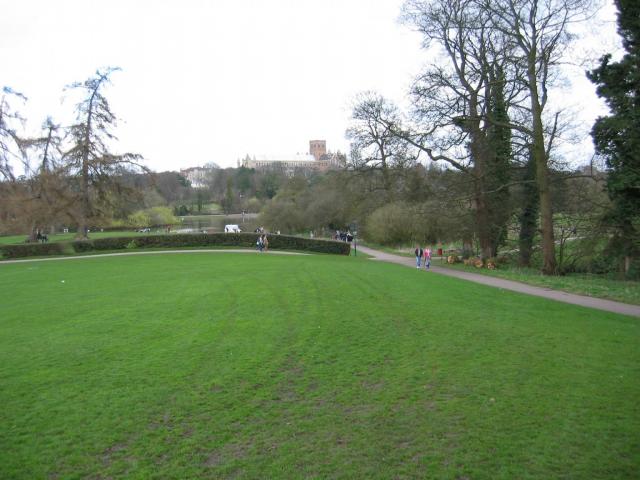
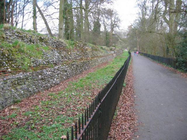
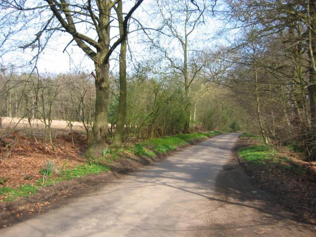
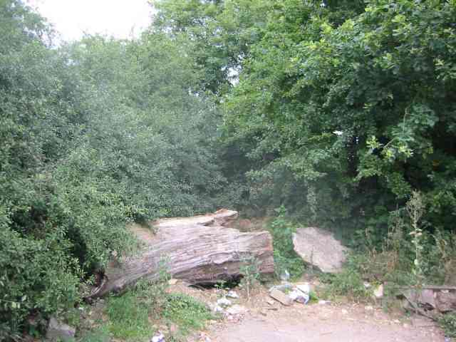
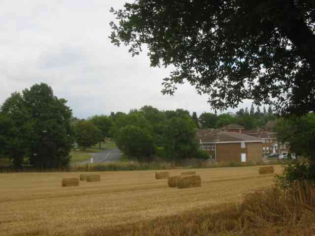
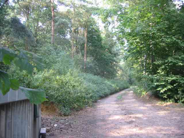
Park Wood is a woodland area located in Hertfordshire, England. Covering approximately 200 acres, it is a prominent feature of the local landscape, offering a tranquil and natural retreat for visitors and residents alike. The wood is predominantly composed of deciduous trees, including oak, beech, and birch, which create a diverse and vibrant canopy.

The wood is home to a variety of wildlife, including deer, squirrels, and a multitude of bird species, making it a popular spot for nature enthusiasts and birdwatchers. With its extensive network of walking trails, Park Wood offers opportunities for outdoor activities such as hiking, jogging, and dog walking. The wood also features several picnic areas, providing a peaceful setting for families and friends to enjoy a meal surrounded by the beauty of nature.

The management of Park Wood is overseen by the local authorities, who ensure its preservation and conservation. Regular maintenance is carried out to ensure the health and sustainability of the woodland, including tree planting initiatives and the removal of invasive species.

Park Wood has a rich history, with evidence of human habitation dating back to the Iron Age. The wood was once part of a larger forest that covered much of the surrounding area. Today, it serves as an important green space, offering an escape from the urban environment and a valuable habitat for wildlife. Whether for a leisurely stroll or a deeper connection with nature, Park Wood is a cherished natural asset in Hertfordshire.

If you have any feedback on the listing, please let us know in the comments section below.
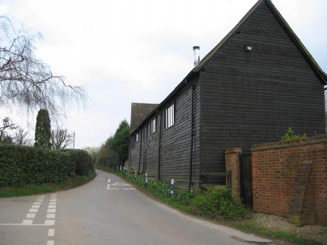
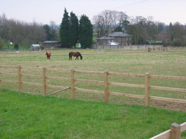
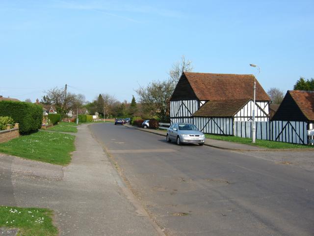
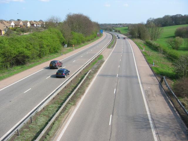
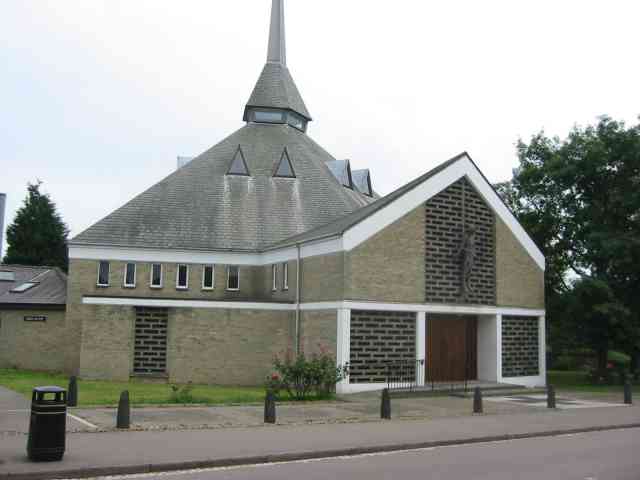
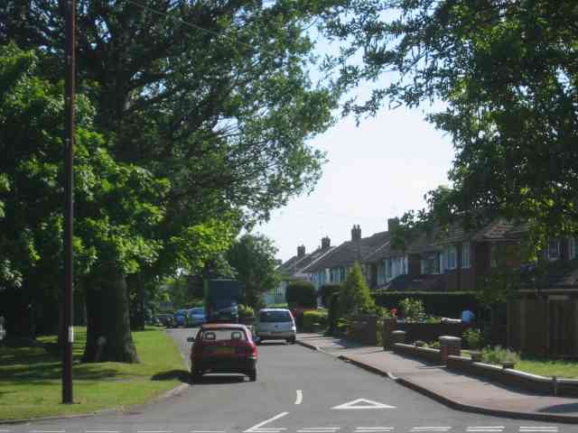
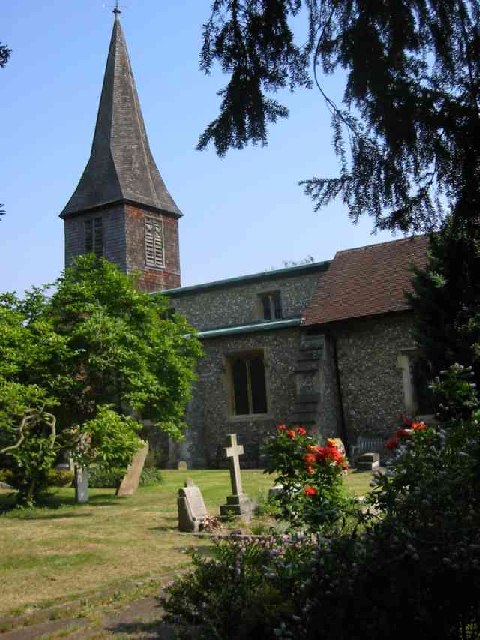
Park Wood Images

Images are sourced within 2km of 51.736253/-0.36959922 or Grid Reference TL1205. Thanks to Geograph Open Source API. All images are credited.

Park Looking NE from TL138067 across the lake in the park, toward the abbey in TL1407
Park
Looking NE from TL138067 across the lake in the park, toward the abbey in TL1407
Roman city wall Looking NE from TL137066, with the old Roman city wall on the left.
Roman city wall
Looking NE from TL137066, with the old Roman city wall on the left.
Pylon and copse Looking North from TL117043, we see the power lines jump over a little copse. That's pretty much the most significant landmark in the grid square.
Pylon and copse
Looking North from TL117043, we see the power lines jump over a little copse. That's pretty much the most significant landmark in the grid square.
The 'Holly Bush' at Potters Crouch The 'Holly Bush' pub at Potters Crouch: a village of about 4 houses.
And yes, Potters Crouch is its real name - I'm not making it up.
The 'Holly Bush' at Potters Crouch
The 'Holly Bush' pub at Potters Crouch: a village of about 4 houses. And yes, Potters Crouch is its real name - I'm not making it up.
Barn-like house, Potters Crouch Looking East into Potters Crouch on the road from Bedmond (at TL114052).
Barn-like house, Potters Crouch
Looking East into Potters Crouch on the road from Bedmond (at TL114052).
Daneswick farm buildings Looking SE from TL122046
Daneswick farm buildings
Looking SE from TL122046
Road from Potters Crouch to Chiswell Green Looking East from TL123052 with copse on the right, open field and then woods on the left.
Road from Potters Crouch to Chiswell Green
Looking East from TL123052 with copse on the right, open field and then woods on the left.
Gateway to suburbia On the Western edge of Chiswell Green, having just left the farmland behind, looking East from TL131045.
Gateway to suburbia
On the Western edge of Chiswell Green, having just left the farmland behind, looking East from TL131045.
M10, from bridge. Looking East from the bridge over the M10 at TL137055.
M10, from bridge.
Looking East from the bridge over the M10 at TL137055.
St Alban's R.C. Church at St Julians This church is almost at the southern edge of St Albans.
St Alban's R.C. Church at St Julians
This church is almost at the southern edge of St Albans.
A road in Chiswell Green The forest trees at least show that it has some attraction
A road in Chiswell Green
The forest trees at least show that it has some attraction
St Stephen's Church  St Albans This church has sufficient land for car parking which is a boon as the road outside is always busy.
St Stephen's Church St Albans
This church has sufficient land for car parking which is a boon as the road outside is always busy.
No Access by this route The log blocks what used to be a layby when the road was straightened but now it has been deleted for safety's sake
No Access by this route
The log blocks what used to be a layby when the road was straightened but now it has been deleted for safety's sake
The composting facility This establishment with the huge piles of composting material implies that the stuff isn't 
getting into the commercial circuit.
The composting facility
This establishment with the huge piles of composting material implies that the stuff isn't getting into the commercial circuit.
The edge of the town This view from Bedmond Lane shows the abrupt demarcation between housing estate and farmland.
The edge of the town
This view from Bedmond Lane shows the abrupt demarcation between housing estate and farmland.
Petrol filling station Park Street This station is visible from the North Orbital Rd
which carries heavy traffic
Petrol filling station Park Street
This station is visible from the North Orbital Rd which carries heavy traffic
Private Road into Prae Wood off  A 4147 The impression given is that a timber conversion plant is just beyond the turn. This is the Gorhambury Estate.
Private Road into Prae Wood off A 4147
The impression given is that a timber conversion plant is just beyond the turn. This is the Gorhambury Estate.
Parked lorry in Noke Lane. The lorry is unregistered so can be deemed to be
fly tipped rubbish.There is also a semi trailer wedged against it {see left top corner}
Parked lorry in Noke Lane.
The lorry is unregistered so can be deemed to be fly tipped rubbish.There is also a semi trailer wedged against it {see left top corner}
Show me another place!

Park Wood is located at Grid Ref: TL1205 (Lat: 51.736253, Lng: -0.36959922)

Administrative County: Hertfordshire

District: St. Albans

Police Authority: Hertfordshire

What 3 Words

///jobs.bike.dust. Near St Albans, Hertfordshire

Related Wikis

M10 motorway (Great Britain)

The M10 was a motorway in Hertfordshire, England, running for approximately 3 miles (4.5 km) from the M1 motorway at junction 7 near Hemel Hempstead to...

St Stephen, Hertfordshire

St Stephen is a civil parish in the St Albans City and District in Hertfordshire, England. It is located approximately 17 miles (27 km) north-northwest...

Potters Crouch

Potters Crouch is a small hamlet in Hertfordshire, England, south-west of St Albans near Chiswell Green. It is in the civil parish of St Michael. ��2...

Royal National Rose Society Gardens

The Royal National Rose Society Gardens, also known as The Gardens of The Rose, were the gardens and headquarters of The Royal National Rose Society at...

Butterfly World, Hertfordshire

The Butterfly World Project was a visitor attraction in the village of Chiswell Green, on the outskirts of St Albans in Hertfordshire, UK, dedicated to...

Chiswell Green

Chiswell Green is a village, on the southern outskirts of St Albans, in the parish of St Stephen and district of the City of St Albans in Hertfordshire...

The Marlborough Science Academy

The Marlborough Science Academy is a secondary school and sixth form with Academy status, located in St Albans, Hertfordshire, England. It has a specialism...

Turning Forms

Turning Forms (BH 166) is a concrete sculpture by Barbara Hepworth, one of her first public commissions, made in 1950 for the Festival of Britain. It was...

Nearby Amenities

Located within 500m of 51.736253,-0.36959922
Noexit: yes
Lat/Long: 51.7334998/-0.3652858
Marker: post
Substance: oil
Utility: oil
Lat/Long: 51.7371472/-0.3735296
Bench
Lat/Long: 51.738212/-0.3661127
The data included in this document is from www.openstreetmap.org. The data is made available under ODbL.

Have you been to Park Wood?

Leave your review of Park Wood below (or comments, questions and feedback).