Long Spring

Wood, Forest in Hertfordshire St. Albans

England

Long Spring

Roman city wall Looking NE from TL137066, with the old Roman city wall on the left.
Roman city wall Credit: Rob Hinkley

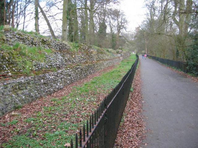
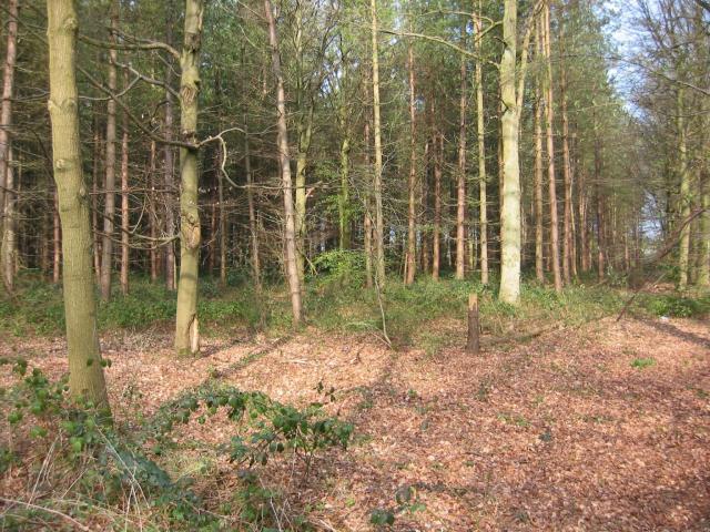
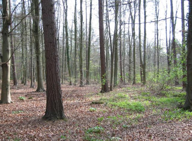
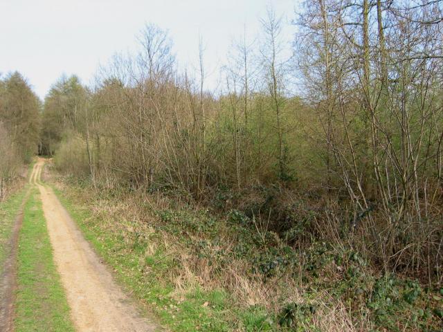
Long Spring is a picturesque woodland area located in Hertfordshire, England. Situated in the heart of the county, this beautiful forest is known for its lush greenery, tall trees, and tranquil atmosphere. Covering an extensive area of land, Long Spring is a popular destination for nature lovers and outdoor enthusiasts.

The forest is home to a wide variety of tree species, including oak, beech, and pine, which provide a rich and diverse habitat for a range of wildlife. Visitors can expect to encounter a myriad of animals, such as deer, squirrels, and various bird species, making it an ideal spot for birdwatching and wildlife photography.

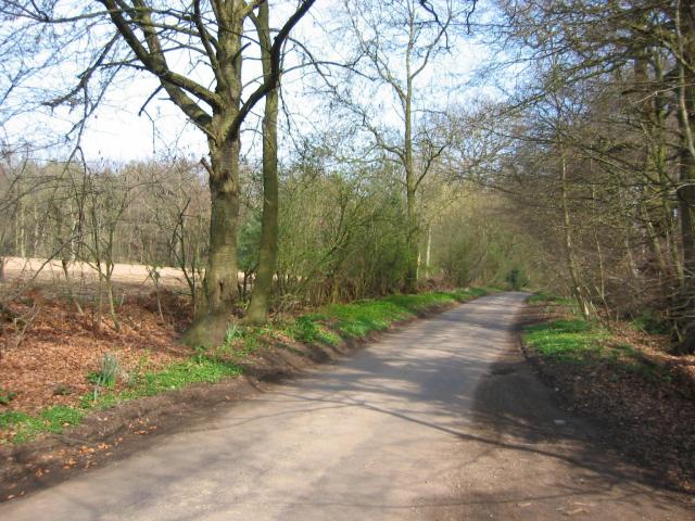
Long Spring offers an array of walking trails and hiking routes, allowing visitors to explore the forest at their own pace. The paths wind through the dense woodland, offering breathtaking views of the surrounding landscape. There are also designated picnic areas and benches scattered throughout the forest, providing the perfect opportunity to pause and appreciate the natural beauty of the area.

The forest is well-maintained, with clear signage and information boards to guide visitors and educate them about the local flora and fauna. Long Spring is also renowned for its conservation efforts, with ongoing initiatives to protect and preserve the natural ecosystem.

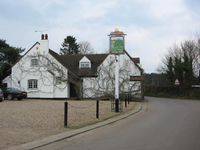
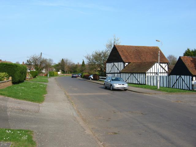
In addition to its natural beauty, Long Spring is conveniently located near neighboring towns and villages, making it easily accessible for day trips and weekend getaways. Whether it's a peaceful stroll through the woods or an adventurous hike, Long Spring offers a serene and refreshing escape from the hustle and bustle of everyday life.

If you have any feedback on the listing, please let us know in the comments section below.

Long Spring Images

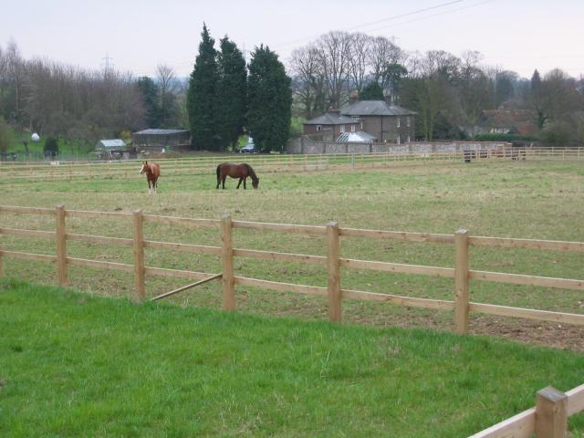
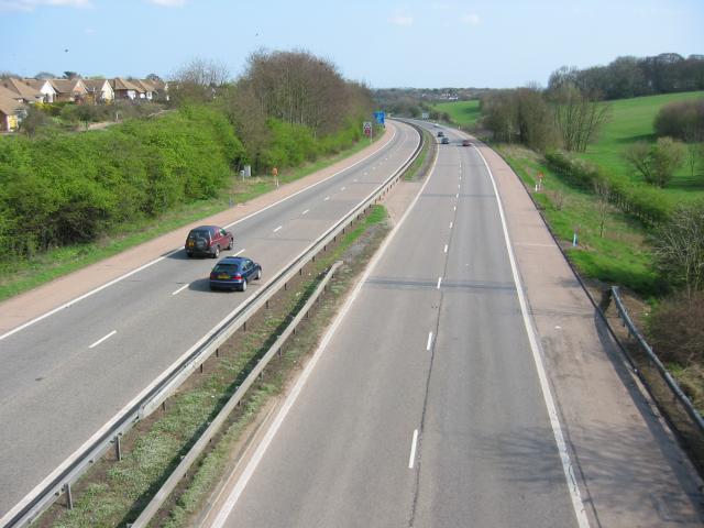
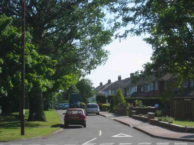
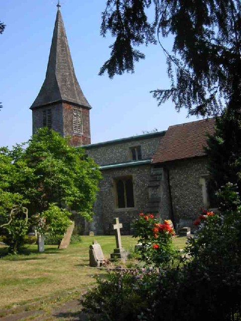
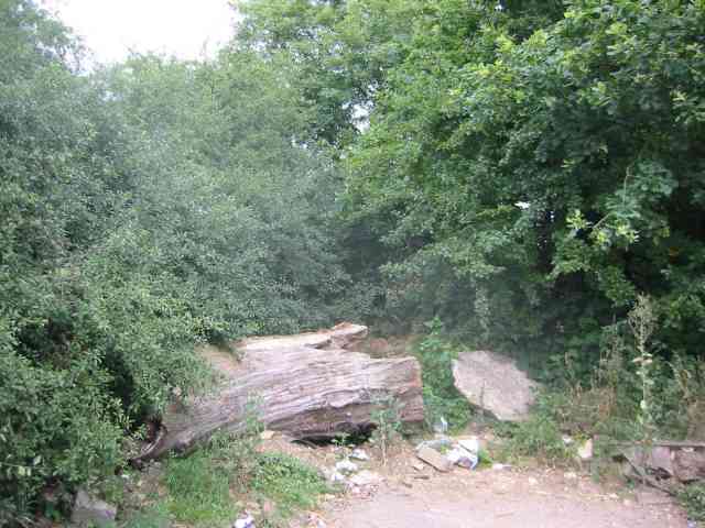
Images are sourced within 2km of 51.735128/-0.3766925 or Grid Reference TL1205. Thanks to Geograph Open Source API. All images are credited.

Roman city wall Looking NE from TL137066, with the old Roman city wall on the left.
Roman city wall
Looking NE from TL137066, with the old Roman city wall on the left.
M1/M25 Junction It's noisy, hostile and bleak but the motorway junction occupies about half the entire grid square so is the dominating feature. Photo taken looking South down the M1 from the bridge at TL115038.
M1/M25 Junction
It's noisy, hostile and bleak but the motorway junction occupies about half the entire grid square so is the dominating feature. Photo taken looking South down the M1 from the bridge at TL115038.
Pylon and copse Looking North from TL117043, we see the power lines jump over a little copse. That's pretty much the most significant landmark in the grid square.
Pylon and copse
Looking North from TL117043, we see the power lines jump over a little copse. That's pretty much the most significant landmark in the grid square.
Farmland, farmland... Looking NW from the track at TL107064 by Hill End Farm (buildings at right).
Farmland, farmland...
Looking NW from the track at TL107064 by Hill End Farm (buildings at right).
The 'Holly Bush' at Potters Crouch The 'Holly Bush' pub at Potters Crouch: a village of about 4 houses.
And yes, Potters Crouch is its real name - I'm not making it up.
The 'Holly Bush' at Potters Crouch
The 'Holly Bush' pub at Potters Crouch: a village of about 4 houses. And yes, Potters Crouch is its real name - I'm not making it up.
Barn-like house, Potters Crouch Looking East into Potters Crouch on the road from Bedmond (at TL114052).
Barn-like house, Potters Crouch
Looking East into Potters Crouch on the road from Bedmond (at TL114052).
Potterscrouch Plantations Looking East from the forestry track in Potterscrouch Plantations at TL104047.
Potterscrouch Plantations
Looking East from the forestry track in Potterscrouch Plantations at TL104047.
Plantation Looking SW from the track through the woods at TL104047.
Plantation
Looking SW from the track through the woods at TL104047.
New growth in plantation Looking E along the track in the woods at about TL105053. Not the classiest woods, mind you - they seem to be a popular venue for fly-tipping and burning cars, to judge by patches of wreckage.
New growth in plantation
Looking E along the track in the woods at about TL105053. Not the classiest woods, mind you - they seem to be a popular venue for fly-tipping and burning cars, to judge by patches of wreckage.
Daneswick farm buildings Looking SE from TL122046
Daneswick farm buildings
Looking SE from TL122046
Road from Potters Crouch to Chiswell Green Looking East from TL123052 with copse on the right, open field and then woods on the left.
Road from Potters Crouch to Chiswell Green
Looking East from TL123052 with copse on the right, open field and then woods on the left.
Gateway to suburbia On the Western edge of Chiswell Green, having just left the farmland behind, looking East from TL131045.
Gateway to suburbia
On the Western edge of Chiswell Green, having just left the farmland behind, looking East from TL131045.
M10, from bridge. Looking East from the bridge over the M10 at TL137055.
M10, from bridge.
Looking East from the bridge over the M10 at TL137055.
A road in Chiswell Green The forest trees at least show that it has some attraction
A road in Chiswell Green
The forest trees at least show that it has some attraction
St Stephen's Church  St Albans This church has sufficient land for car parking which is a boon as the road outside is always busy.
St Stephen's Church St Albans
This church has sufficient land for car parking which is a boon as the road outside is always busy.
No Access by this route The log blocks what used to be a layby when the road was straightened but now it has been deleted for safety's sake
No Access by this route
The log blocks what used to be a layby when the road was straightened but now it has been deleted for safety's sake
The composting facility This establishment with the huge piles of composting material implies that the stuff isn't 
getting into the commercial circuit.
The composting facility
This establishment with the huge piles of composting material implies that the stuff isn't getting into the commercial circuit.
The edge of the town This view from Bedmond Lane shows the abrupt demarcation between housing estate and farmland.
The edge of the town
This view from Bedmond Lane shows the abrupt demarcation between housing estate and farmland.
Show me another place!

Long Spring is located at Grid Ref: TL1205 (Lat: 51.735128, Lng: -0.3766925)

Administrative County: Hertfordshire

District: St. Albans

Police Authority: Hertfordshire

What 3 Words

///blows.dots.zebra. Near St Albans, Hertfordshire

Related Wikis

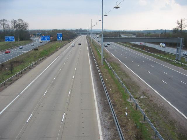
M10 motorway (Great Britain)

The M10 was a motorway in Hertfordshire, England, running for approximately 3 miles (4.5 km) from the M1 motorway at junction 7 near Hemel Hempstead to...

Potters Crouch

Potters Crouch is a small hamlet in Hertfordshire, England, south-west of St Albans near Chiswell Green. It is in the civil parish of St Michael. ��2...

Royal National Rose Society Gardens

The Royal National Rose Society Gardens, also known as The Gardens of The Rose, were the gardens and headquarters of The Royal National Rose Society at...

Butterfly World, Hertfordshire

The Butterfly World Project was a visitor attraction in the village of Chiswell Green, on the outskirts of St Albans in Hertfordshire, UK, dedicated to...

St Stephen, Hertfordshire

St Stephen is a civil parish in the St Albans City and District in Hertfordshire, England. It is located approximately 17 miles (27 km) north-northwest...

Chiswell Green

Chiswell Green is a village, on the southern outskirts of St Albans, in the parish of St Stephen and district of the City of St Albans in Hertfordshire...

Verlamion

Verlamion, or Verlamio, was a settlement in Iron Age Britain. It was a major centre of the Catuvellauni tribe from about 20 BC until shortly after the...

The Marlborough Science Academy

The Marlborough Science Academy is a secondary school and sixth form with Academy status, located in St Albans, Hertfordshire, England. It has a specialism...

Related Videos

Harpenden to St Albans Walk | Cool Dudes Walking Club

swcwalks #swcwalks351 . A walk from Harpenden, through the new Heartswood Forest, Childwickbury Country Estate and to St ...

Splendid St Albans Medieval and Roman Walk - London Day Trip

A rather splendid day trip from London, St Albans can be reached in 40 minutes on the train and has lots of pubs and medieval ...

Nearby Amenities

Located within 500m of 51.735128,-0.3766925
Source: Bing
Lat/Long: 51.7379322/-0.3787804
Marker: post
Substance: oil
Utility: oil
Lat/Long: 51.7371472/-0.3735296
The data included in this document is from www.openstreetmap.org. The data is made available under ODbL.

Have you been to Long Spring?

Leave your review of Long Spring below (or comments, questions and feedback).