Combe Bottom

Valley in Surrey Guildford

England

Combe Bottom

Direction Sign – Signpost on Upper Street, Shere Located on the north side of the junction of Upper Street and Middle Street in Shere parish. 3 arms and cone finial.

Milestone Society National ID: SY_TQ0747
Direction Sign – Signpost on Upper Street, Shere Credit: John V Nicholls

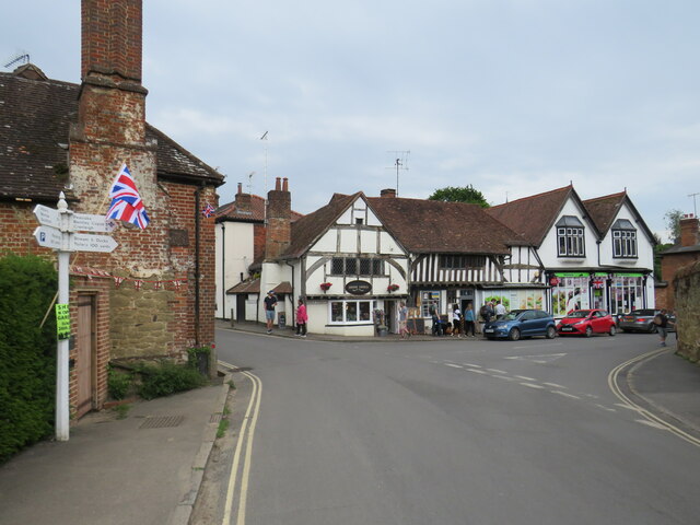
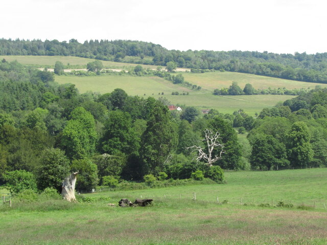
Combe Bottom, located in Surrey, England, is a picturesque valley nestled within the Surrey Hills Area of Outstanding Natural Beauty. This tranquil and idyllic spot is situated near the village of Abinger Hammer, offering visitors a peaceful retreat from the hustle and bustle of city life.

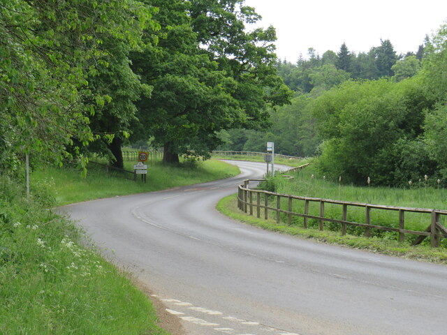
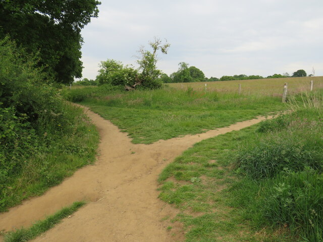
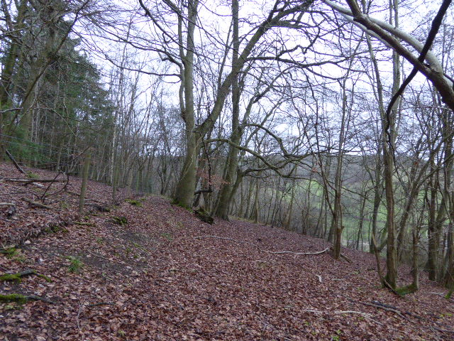
The valley is characterized by its lush green meadows, rolling hills, and dense woodland, making it a haven for nature enthusiasts and hikers. The area is home to a diverse range of flora and fauna, including rare wildflowers, butterflies, and various bird species.

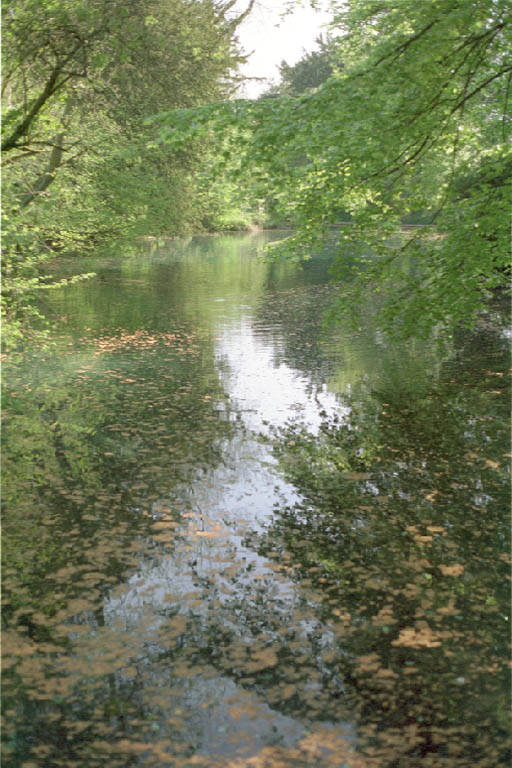
Combe Bottom is intersected by a gentle stream that meanders through the valley, adding to its charm. The stream offers a serene setting for picnics or a quiet moment of contemplation. Additionally, it provides a source of water for the surrounding wildlife.

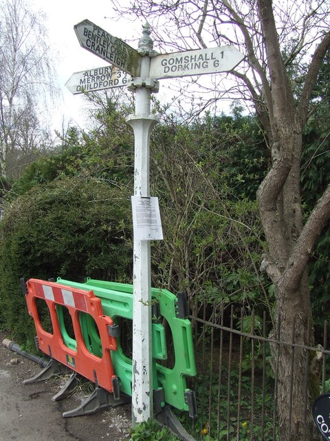
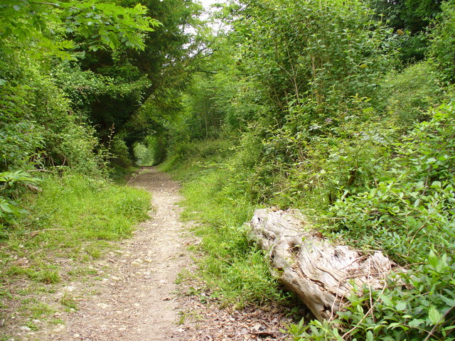
The valley boasts numerous walking trails that cater to all levels of fitness and interest. These paths guide visitors through the stunning landscape, offering breathtaking views and opportunities to explore the surrounding woodlands. The valley is also a popular spot for outdoor activities such as cycling and horse riding.

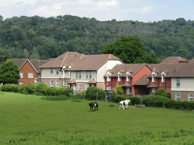
Combe Bottom is easily accessible, with ample parking available nearby. It provides a peaceful escape for individuals and families alike, offering a chance to reconnect with nature and enjoy the beauty of the Surrey countryside. Whether one is seeking a relaxing stroll or an adventurous hike, Combe Bottom is a hidden gem waiting to be discovered.

If you have any feedback on the listing, please let us know in the comments section below.
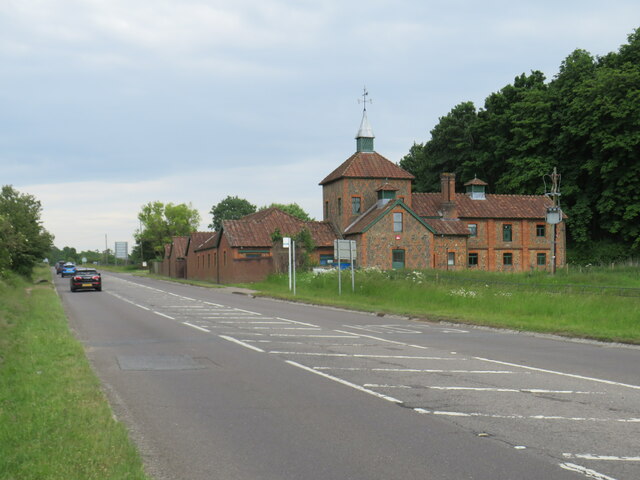
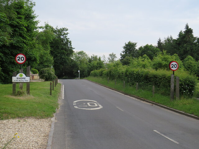
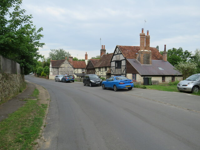
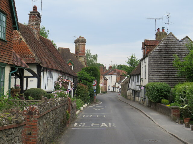
Combe Bottom Images

Images are sourced within 2km of 51.229089/-0.47238993 or Grid Reference TQ0648. Thanks to Geograph Open Source API. All images are credited.

Direction Sign – Signpost on Upper Street, Shere Located on the north side of the junction of Upper Street and Middle Street in Shere parish. 3 arms and cone finial.

Milestone Society National ID: SY_TQ0747
Direction Sign – Signpost on Upper Street, Shere
Located on the north side of the junction of Upper Street and Middle Street in Shere parish. 3 arms and cone finial. Milestone Society National ID: SY_TQ0747
No. 35028 'Clan Line' with the Belmond British Pullman No. 35028 'Clan Line' approaches the Sandy Lane bridge near Shere with the Belmond British Pullman circular dining tour from Victoria via Guildford.
No. 35028 'Clan Line' with the Belmond British Pullman
No. 35028 'Clan Line' approaches the Sandy Lane bridge near Shere with the Belmond British Pullman circular dining tour from Victoria via Guildford.
Albury Park entrance and lodge An entrance to Albury Park, in Surrey.  The building to the left of the entrance is a lodge.
Albury Park entrance and lodge
An entrance to Albury Park, in Surrey. The building to the left of the entrance is a lodge.
A248 road at Albury A double bend on the A248 road as it enters the village of Albury.
A248 road at Albury
A double bend on the A248 road as it enters the village of Albury.
A25 road near Albury A view eastwards along the A25 road between Albury and Shere in Surrey.  The building on the opposite side of the road is Home Farm.
A25 road near Albury
A view eastwards along the A25 road between Albury and Shere in Surrey. The building on the opposite side of the road is Home Farm.
Upper Street, Shere Upper Street entering the village of Shere in Surrey.  The speed limit drops to 20 miles per hour through the village.
Upper Street, Shere
Upper Street entering the village of Shere in Surrey. The speed limit drops to 20 miles per hour through the village.
Upper Street, Shere Upper Street in the Surrey village of Shere.
Upper Street, Shere
Upper Street in the Surrey village of Shere.
Upper Street, Shere Upper Street in the Surrey village of Shere.
Upper Street, Shere
Upper Street in the Surrey village of Shere.
Shere village centre A road junction in the centre of the village of Shere in Surrey.
Shere village centre
A road junction in the centre of the village of Shere in Surrey.
Middle Street, Shere Middle Street in the village of Shere in Surrey.  To the right of the image is a pub called The White Horse.
Middle Street, Shere
Middle Street in the village of Shere in Surrey. To the right of the image is a pub called The White Horse.
The Spinning Walk, Shere The Spinning Walk, in the village of Shere, is on route 22 of the National Cycle Network.
The Spinning Walk, Shere
The Spinning Walk, in the village of Shere, is on route 22 of the National Cycle Network.
Paths cross near Shere Two paths cross on a hillside near Shere, in Surrey.  The path which bears left forms part of route 22 of the National Cycle Network.
Paths cross near Shere
Two paths cross on a hillside near Shere, in Surrey. The path which bears left forms part of route 22 of the National Cycle Network.
National Cycle Network route 22 at Gomshall A bridleway used by National Cycle Network route 22 as it enters the village of Gomshall in Surrey.  The small blue sign on the post to the left of the image indicates the cycle route.
National Cycle Network route 22 at Gomshall
A bridleway used by National Cycle Network route 22 as it enters the village of Gomshall in Surrey. The small blue sign on the post to the left of the image indicates the cycle route.
Road junction in Gomshall A junction of minor roads in the Surrey village of Gomshall.  The junction is on route 22 of the National Cycle Network, indicated by the small blue sign attached to the signpost.
Road junction in Gomshall
A junction of minor roads in the Surrey village of Gomshall. The junction is on route 22 of the National Cycle Network, indicated by the small blue sign attached to the signpost.
Albury - Pastoral Landscape Green fields and woodland on the hillside south-east of the village. In the background is the scarp slope of the North Downs east of Newlands Corner.
Albury - Pastoral Landscape
Green fields and woodland on the hillside south-east of the village. In the background is the scarp slope of the North Downs east of Newlands Corner.
Shere - Village Edge New housing at the southern end of Shere overlook fields with grazing animals.
Shere - Village Edge
New housing at the southern end of Shere overlook fields with grazing animals.
Shere - Crumbs The village bread shop's window carried a display of Union flags commemorating the Queen's Platinum Jubilee (1952-2022) and a Ukraine flag to support that country as it was being invaded by Russia.
Shere - Crumbs
The village bread shop's window carried a display of Union flags commemorating the Queen's Platinum Jubilee (1952-2022) and a Ukraine flag to support that country as it was being invaded by Russia.
Shere - Platinum Jubilee Year Shere's Middle Street had strings of red, white and blue bunting to commemorate the Queen's Platinum Jubilee (1952-2022). The grey wooden building on the left was the village's fire station.
Shere - Platinum Jubilee Year
Shere's Middle Street had strings of red, white and blue bunting to commemorate the Queen's Platinum Jubilee (1952-2022). The grey wooden building on the left was the village's fire station.
Show me another place!

Combe Bottom is located at Grid Ref: TQ0648 (Lat: 51.229089, Lng: -0.47238993)

Administrative County: Surrey

District: Guildford

Police Authority: Surrey

What 3 Words

///empire.plus.lakes. Near West Horsley, Surrey

Related Wikis

Combe Bottom

Combe Bottom is a 42.1-hectare (104-acre) biological Site of Special Scientific Interest north of Shere in Surrey. It is designated a Local Nature Reserve...

Silent Pool

Silent Pool is a spring-fed lake at the foot of the North Downs, about 4 miles (6 km) east of Guildford in Surrey. The outflow from Silent Pool runs into...

Shere

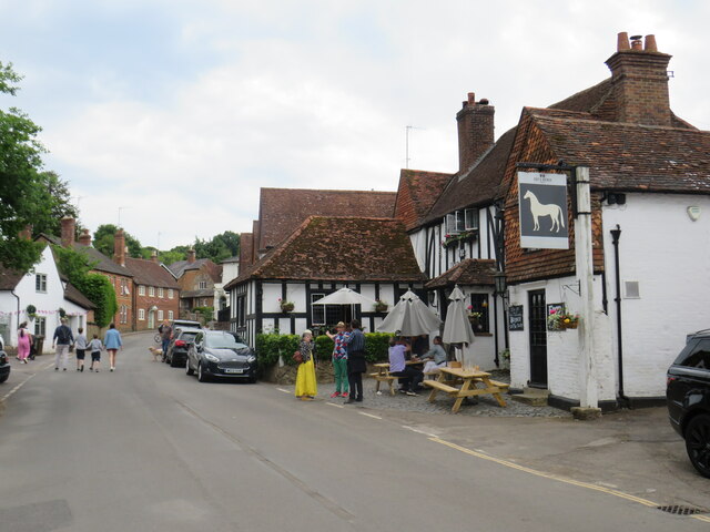
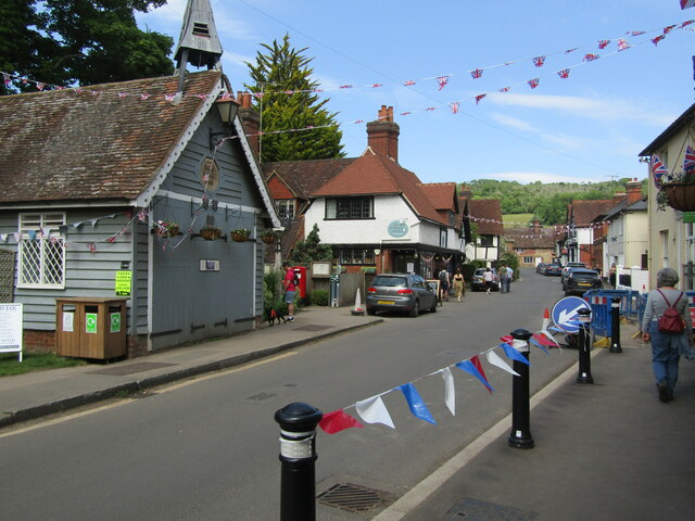
Shere is a village in the Guildford district of Surrey, England 4.8 miles (7.7 km) east south-east of Guildford and 5.4 miles (8.7 km) west of Dorking...

Old St Peter and St Paul's Church, Albury

Old St Peter and St Paul's Church is a former Anglican church near the village of Albury, Surrey, England in the care of The Churches Conservation Trust...

Albury Park

Albury Park is a country park and Grade II* listed historic country house (Albury Park Mansion) in Surrey, England. It covers over 150 acres (0.61 km2...

Colekitchen Down

Colekitchen Down is a 3-hectare (7.4-acre) nature reserve north of Gomshall in Surrey. It is managed by the Surrey Wildlife Trust.This sloping area of...

Upper Common Pits

Upper Common Pits is a 3-hectare (7.4-acre) geological Site of Special Scientific Interest in the north of Gomshall in Surrey. It is a Geological Conservation...

Gomshall

Gomshall is a village in the borough of Guildford in Surrey, England.It is on the A25, roughly halfway between Guildford and Dorking, and in Shere civil...

Nearby Amenities

Located within 500m of 51.229089,-0.47238993
Tourism: viewpoint
Lat/Long: 51.2302541/-0.4772072
West Hanger
Natural: wood
Source: photo
Lat/Long: 51.2320023/-0.4727152
Combe Bottom
Place: locality
Source Name: survey
Lat/Long: 51.2307192/-0.4670692
Bunker Type: pillbox
Historic: ruins
Military: bunker
Source: gps
Lat/Long: 51.2308829/-0.4660271
Information: guidepost
Tourism: information
Lat/Long: 51.2322632/-0.4675562
Leisure: picnic_table
Material: wood
Lat/Long: 51.2330148/-0.4689743
The data included in this document is from www.openstreetmap.org. The data is made available under ODbL.

Have you been to Combe Bottom?

Leave your review of Combe Bottom below (or comments, questions and feedback).