Sherbourne Pond

Lake, Pool, Pond, Freshwater Marsh in Surrey Guildford

England

Sherbourne Pond

Direction Sign – Signpost on Upper Street, Shere Located on the north side of the junction of Upper Street and Middle Street in Shere parish. 3 arms and cone finial.

Milestone Society National ID: SY_TQ0747
Direction Sign – Signpost on Upper Street, Shere Credit: John V Nicholls

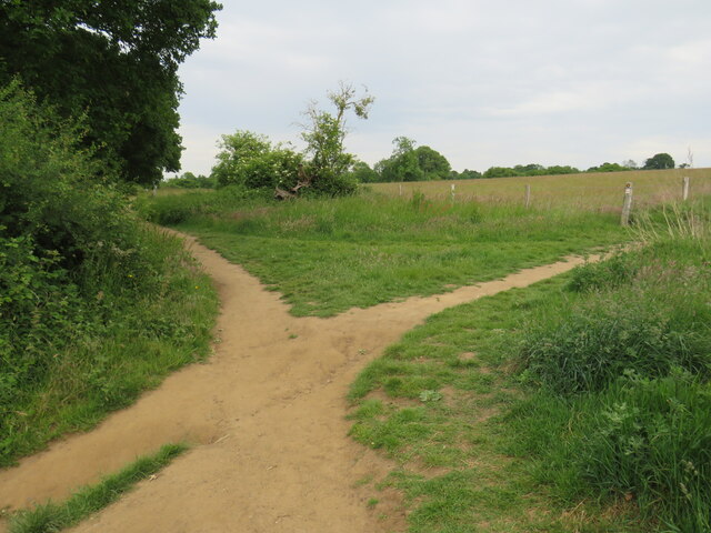
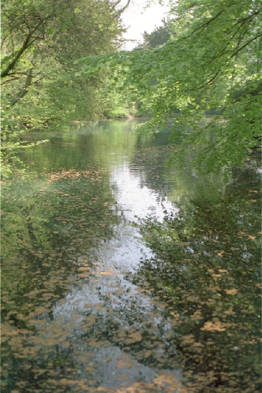
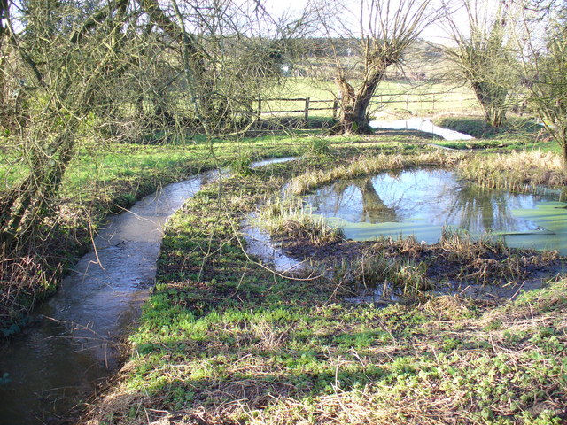
Sherbourne Pond, located in the county of Surrey, is a serene freshwater marsh that serves as an important ecological habitat in the region. Spanning approximately 10 acres, it is nestled amidst lush greenery and provides a picturesque landscape for visitors to enjoy.

Characterized by its calm and tranquil waters, Sherbourne Pond is home to a diverse range of plant and animal species. The pond supports a variety of aquatic vegetation, such as water lilies and reeds, which provide shelter and nesting sites for numerous bird species. Visitors can often spot ducks, geese, and swans gracefully gliding across the pond's surface.

The surrounding area of Sherbourne Pond is rich in wildlife, with many species using it as a vital water source. It attracts a wide range of insects, amphibians, and small mammals, creating a thriving ecosystem that contributes to the overall biodiversity of the region.

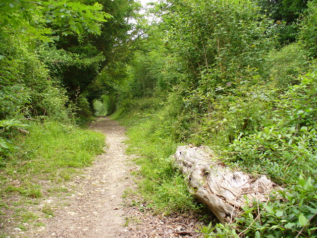
The pond also serves as a popular destination for nature enthusiasts and those seeking a peaceful retreat. Its tranquil ambiance and scenic surroundings make it an ideal spot for picnicking, walking, and birdwatching. Additionally, there are designated areas for fishing, allowing anglers to enjoy a day by the water's edge.

Sherbourne Pond is well-maintained, with proper signage, walking paths, and seating areas for visitors' convenience. It is easily accessible and has ample parking available. The local authorities ensure the preservation of the pond's natural beauty and encourage responsible tourism.

Overall, Sherbourne Pond is a haven for nature lovers, offering a unique opportunity to discover and appreciate the diverse flora and fauna that thrive in its freshwater marsh ecosystem.

If you have any feedback on the listing, please let us know in the comments section below.

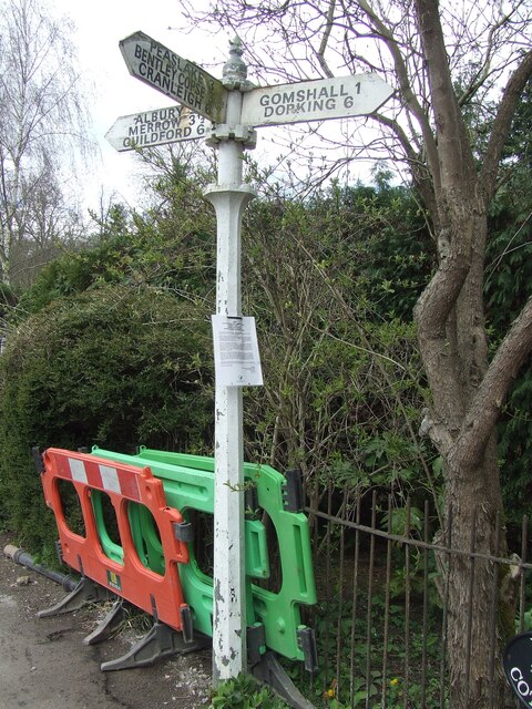
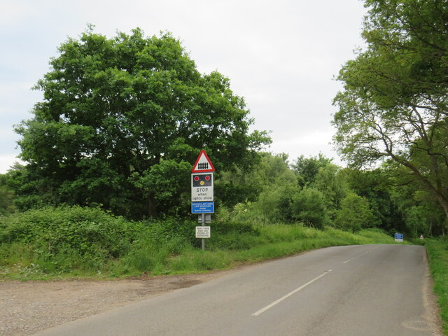
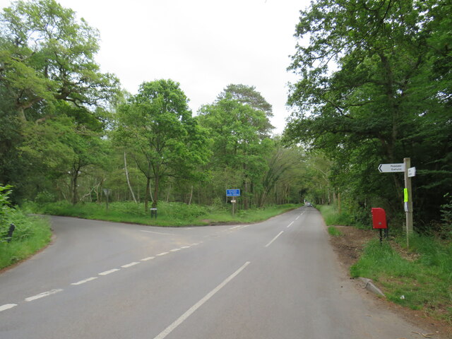
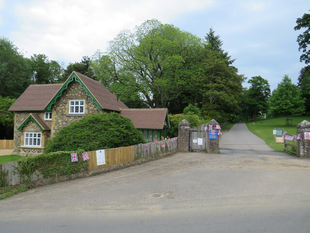
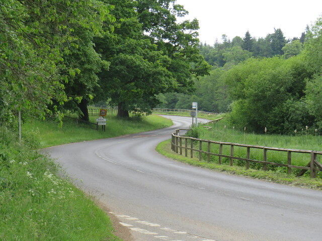
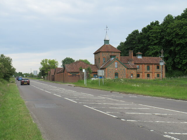
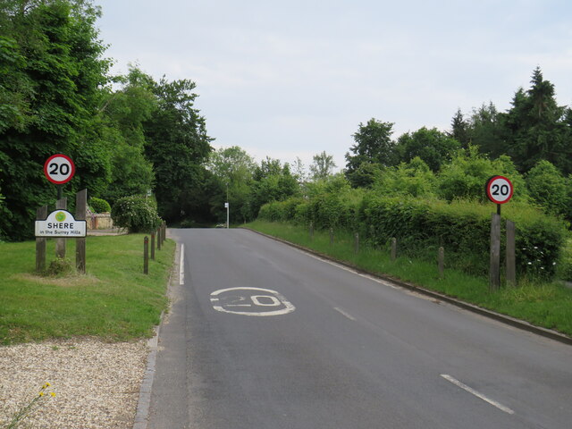
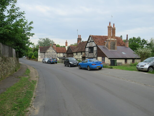
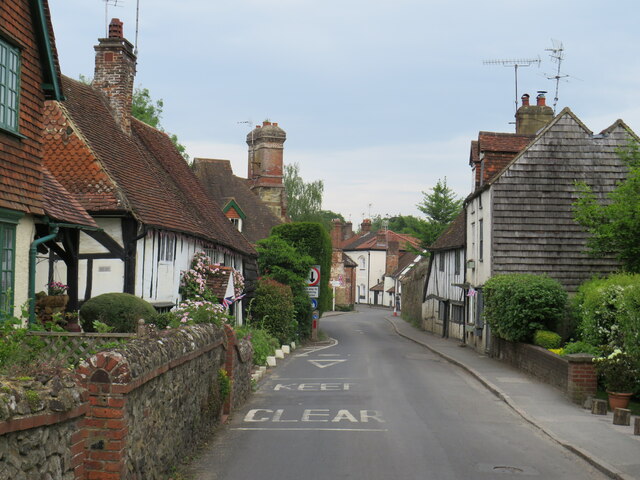
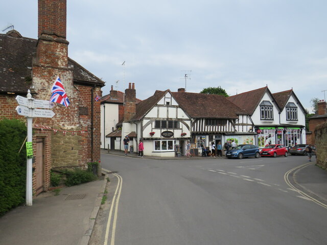
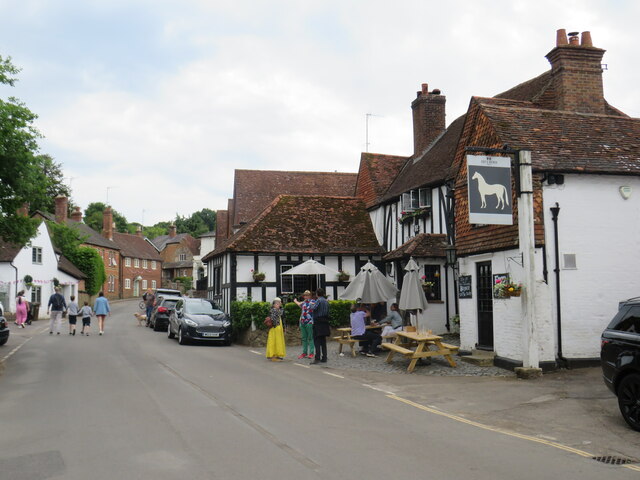
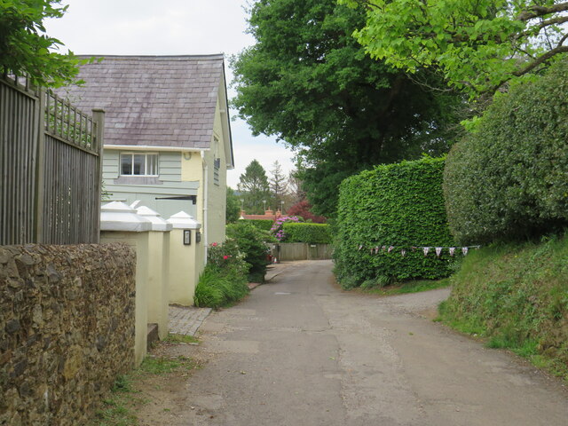
Sherbourne Pond Images

Images are sourced within 2km of 51.225999/-0.48307582 or Grid Reference TQ0648. Thanks to Geograph Open Source API. All images are credited.

Direction Sign – Signpost on Upper Street, Shere Located on the north side of the junction of Upper Street and Middle Street in Shere parish. 3 arms and cone finial.

Milestone Society National ID: SY_TQ0747
Direction Sign – Signpost on Upper Street, Shere
Located on the north side of the junction of Upper Street and Middle Street in Shere parish. 3 arms and cone finial. Milestone Society National ID: SY_TQ0747
No. 35028 'Clan Line' with the Belmond British Pullman No. 35028 'Clan Line' approaches the Sandy Lane bridge near Shere with the Belmond British Pullman circular dining tour from Victoria via Guildford.
No. 35028 'Clan Line' with the Belmond British Pullman
No. 35028 'Clan Line' approaches the Sandy Lane bridge near Shere with the Belmond British Pullman circular dining tour from Victoria via Guildford.
New Road, near Albury New Road in Surrey countryside, close to the village of Albury.  The road sign warns of a railway level crossing ahead.
New Road, near Albury
New Road in Surrey countryside, close to the village of Albury. The road sign warns of a railway level crossing ahead.
Road junction near Albury A junction of minor roads in the Surrey Hills, near the village of Albury.
Road junction near Albury
A junction of minor roads in the Surrey Hills, near the village of Albury.
Albury Park entrance and lodge An entrance to Albury Park, in Surrey.  The building to the left of the entrance is a lodge.
Albury Park entrance and lodge
An entrance to Albury Park, in Surrey. The building to the left of the entrance is a lodge.
A248 road at Albury A double bend on the A248 road as it enters the village of Albury.
A248 road at Albury
A double bend on the A248 road as it enters the village of Albury.
A25 road near Albury A view eastwards along the A25 road between Albury and Shere in Surrey.  The building on the opposite side of the road is Home Farm.
A25 road near Albury
A view eastwards along the A25 road between Albury and Shere in Surrey. The building on the opposite side of the road is Home Farm.
Upper Street, Shere Upper Street entering the village of Shere in Surrey.  The speed limit drops to 20 miles per hour through the village.
Upper Street, Shere
Upper Street entering the village of Shere in Surrey. The speed limit drops to 20 miles per hour through the village.
Upper Street, Shere Upper Street in the Surrey village of Shere.
Upper Street, Shere
Upper Street in the Surrey village of Shere.
Upper Street, Shere Upper Street in the Surrey village of Shere.
Upper Street, Shere
Upper Street in the Surrey village of Shere.
Shere village centre A road junction in the centre of the village of Shere in Surrey.
Shere village centre
A road junction in the centre of the village of Shere in Surrey.
Middle Street, Shere Middle Street in the village of Shere in Surrey.  To the right of the image is a pub called The White Horse.
Middle Street, Shere
Middle Street in the village of Shere in Surrey. To the right of the image is a pub called The White Horse.
The Spinning Walk, Shere The Spinning Walk, in the village of Shere, is on route 22 of the National Cycle Network.
The Spinning Walk, Shere
The Spinning Walk, in the village of Shere, is on route 22 of the National Cycle Network.
Paths cross near Shere Two paths cross on a hillside near Shere, in Surrey.  The path which bears left forms part of route 22 of the National Cycle Network.
Paths cross near Shere
Two paths cross on a hillside near Shere, in Surrey. The path which bears left forms part of route 22 of the National Cycle Network.
Albury - Village Centre A narrow pavement outside Albury's post office with a Stagecoach bus (Route 32) passing by on its hourly service from Redhill to Guildford.
Albury - Village Centre
A narrow pavement outside Albury's post office with a Stagecoach bus (Route 32) passing by on its hourly service from Redhill to Guildford.
Albury - Post Office The village post office cohabits with Pratt's Stores. Note the flags are out to commemorate the Queen's Platinum Jubilee (2022).
Albury - Post Office
The village post office cohabits with Pratt's Stores. Note the flags are out to commemorate the Queen's Platinum Jubilee (2022).
Albury - Pratt's Stores The village stores shares its premises with the Post Office. Note the flags commemorating the Queen's Platinum Jubilee (1952-2022).
Albury - Pratt's Stores
The village stores shares its premises with the Post Office. Note the flags commemorating the Queen's Platinum Jubilee (1952-2022).
Albury - Signpost Ornate wooden signpost at a tripoint showing the roads to Guildford, Dorking and Albury Church.
Albury - Signpost
Ornate wooden signpost at a tripoint showing the roads to Guildford, Dorking and Albury Church.
Show me another place!

Sherbourne Pond is located at Grid Ref: TQ0648 (Lat: 51.225999, Lng: -0.48307582)

Administrative County: Surrey

District: Guildford

Police Authority: Surrey

What 3 Words

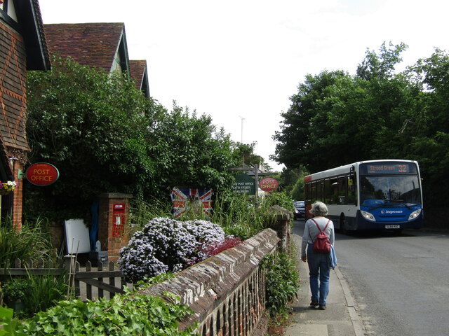
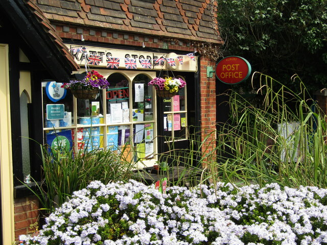
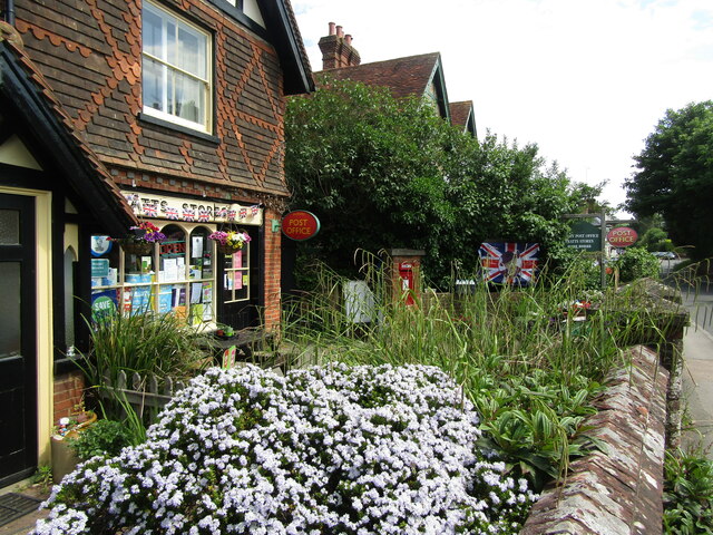
///alien.owner.flock. Near Chilworth, Surrey

Related Wikis

Silent Pool

Silent Pool is a spring-fed lake at the foot of the North Downs, about 4 miles (6 km) east of Guildford in Surrey. The outflow from Silent Pool runs into...

Old St Peter and St Paul's Church, Albury

Old St Peter and St Paul's Church is a former Anglican church near the village of Albury, Surrey, England in the care of The Churches Conservation Trust...

Albury Park

Albury Park is a country park and Grade II* listed historic country house (Albury Park Mansion) in Surrey, England. It covers over 150 acres (0.61 km2...

Combe Bottom

Combe Bottom is a 42.1-hectare (104-acre) biological Site of Special Scientific Interest north of Shere in Surrey. It is designated a Local Nature Reserve...
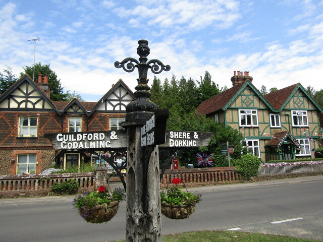
Shere

Shere is a village in the Guildford district of Surrey, England 4.8 miles (7.7 km) east south-east of Guildford and 5.4 miles (8.7 km) west of Dorking...

Albury, Surrey

Albury is a village and civil parish in central Surrey, England, around 3.5 miles (5.6 km) east of Guildford. It is in the Surrey Hills Area of Outstanding...

Newlands Corner

Newlands Corner is a 103-hectare (250-acre) nature reserve east of Guildford in Surrey, England. It is owned by the Albury Estate. It used to be managed...

Law Brook, Surrey

The Law Brook or Postford Brook is a stream in the Surrey Hills AONB which feeds the Tillingbourne which in turn feeds the River Wey. It is notable in...

Nearby Amenities

Located within 500m of 51.225999,-0.48307582
Barrier: kissing_gate
Lat/Long: 51.2231438/-0.4824853
Barrier: kissing_gate
Lat/Long: 51.2225233/-0.4790068
Barrier: stile
Foot: yes
Lat/Long: 51.224484/-0.4868515
Bicycle Parking
Capacity: 4
Lat/Long: 51.2256072/-0.4842407
Post Box
Collection Times: Mo-Fr 09:00; Sa 07:00
Drive Through: no
Old Ref: GU5 47
Operator: Royal Mail
Operator Wikidata: Q638098
Post Box Type: wall
Postal Code: GU5
Ref: GU5 47D
Royal Cypher: VR
Royal Cypher Wikidata: Q33102356
Source: photo
Lat/Long: 51.223503/-0.4835227
Bunker Type: pillbox
Disused: yes
Military: bunker
Lat/Long: 51.2282363/-0.4814991
Silent Pool
Naptan AtcoCode: 40004407372A
Naptan Bearing: W
Naptan CommonName: Silent Pool
Naptan Indicator: Opp
Naptan Landmark: Shere Road
Naptan NaptanCode: suratgda
Naptan Street: Shere Road
Naptan Verified: no
Source: naptan_import
Wheelchair: no
Wheelchair Description: No bus stop apparent here
Lat/Long: 51.2248628/-0.482976
Silent Pool
Naptan AtcoCode: 40004407372B
Naptan Bearing: S
Naptan CommonName: Silent Pool
Naptan Indicator: Just after
Naptan Landmark: Sherbourne
Naptan NaptanCode: suratgdg
Naptan Street: Sherbourne
Naptan Verified: no
Source: naptan_import
Wheelchair: no
Wheelchair Description: Hedge between footway and road, no bus stop apparent.
Lat/Long: 51.2243438/-0.4828199
Bus Stop
Silent Pool
Addr Street: Shere Road
Bus: yes
Naptan AtcoCode: 40004407372C
Naptan Bearing: E
Naptan CommonName: Silent Pool
Naptan Indicator: Just Before
Naptan Landmark: Shere Road
Naptan NaptanCode: suratgdj
Naptan Street: Guildford Road
Naptan Verified: yes
Public Transport: platform
Source: naptan_import
Website: http://nextbuses.mobi/WebView/BusStopSearch/BusStopSearchResults/suratgdj?currentPage=0
Wheelchair: yes
Wheelchair Description: Step-free to stop opposite via island refuges with tactile paving. NOT step-free to Silent Pool car park.
Lat/Long: 51.225045/-0.4819698
Barrier: stile
Foot: yes
Lat/Long: 51.2236008/-0.4839002
Barrier: kissing_gate
Foot: yes
Lat/Long: 51.2235024/-0.4837001
Crossing
Crossing: unmarked
Crossing Markings: no
Kerb: lowered
Tactile Paving: yes
Lat/Long: 51.224791/-0.4824909
Crossing
Crossing: unmarked
Crossing Markings: no
Kerb: lowered
Tactile Paving: yes
Lat/Long: 51.2250555/-0.4824234
Bus Stop
Silent Pool
Addr Street: Shere Road
Bearing: W
Bus: yes
Naptan AtcoCode: 40004407372A
Naptan NaptanCode: suratgda
Public Transport: platform
Source: gps
Website: http://nextbuses.mobi/WebView/BusStopSearch/BusStopSearchResults/suratgda?currentPage=0
Wheelchair: yes
Wheelchair Description: Step-free to stop opposite via island refuges with tactile paving. NOT step-free to Silent Pool car park.
Lat/Long: 51.2246936/-0.4808528
Give Way
Direction: forward
Lat/Long: 51.2247638/-0.4825315
Give Way
Direction: forward
Lat/Long: 51.2248616/-0.4827744
Crossing
Crossing: unmarked
Crossing Island: yes
Crossing Markings: no
Kerb: lowered
Tactile Paving: yes
Lat/Long: 51.2247969/-0.4825728
Crossing
Crossing: unmarked
Crossing Markings: no
Kerb: lowered
Tactile Paving: yes
Lat/Long: 51.2248033/-0.4826915
Crossing
Crossing: unmarked
Crossing Markings: no
Kerb: lowered
Tactile Paving: yes
Lat/Long: 51.2248668/-0.4824853
Give Way
Direction: forward
Lat/Long: 51.2257958/-0.4863231
Generator Method: combustion
Generator Source: gas
Generator Type: gas_turbine
Operator: SUEZ
Power: generator
Lat/Long: 51.2251305/-0.4891782
Barrier: yes
Lat/Long: 51.2266723/-0.4826678
Entrance: yes
Lat/Long: 51.2257544/-0.4827178
Restaurant
Mandira's Kitchen
Addr City: Albury
Addr Country: GB
Addr Housename: Sherbourne Farm
Addr Postcode: GU5 9BW
Addr Street: Shere Road
Contact Phone: +44 1483 940789
Contact Website: http://www.mandiraskitchen.com
Cuisine: indian
Fhrs Authority: Guildford
Fhrs Id: 1181483
Fhrs Local Authority Id: 11318
Opening Hours: Su-Fr 10:00-17:00; Sa 10:00-18:00
Operator: MANDIRA LIMITED
Source Addr: fhrs opendata
Lat/Long: 51.2257767/-0.4826937
Silent Pool Distillers
Addr City: Albury
Addr Postcode: GU5 9BW
Addr Street: Shere Road
Craft: distillery
Website: https://silentpooldistillers.com/
Lat/Long: 51.2263539/-0.4820164
Bench
Backrest: no
Material: wood
Lat/Long: 51.2263023/-0.4825392
Bench
Backrest: no
Material: wood
Lat/Long: 51.2259573/-0.4836466
Entrance: yes
Lat/Long: 51.2262596/-0.4822039
Entrance: yes
Lat/Long: 51.226278/-0.4823
Toilets
Lat/Long: 51.2262221/-0.4819061
The data included in this document is from www.openstreetmap.org. The data is made available under ODbL.

Have you been to Sherbourne Pond?

Leave your review of Sherbourne Pond below (or comments, questions and feedback).