Albury Downs
Downs, Moorland in Surrey Guildford
England
Albury Downs
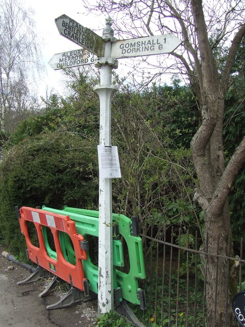
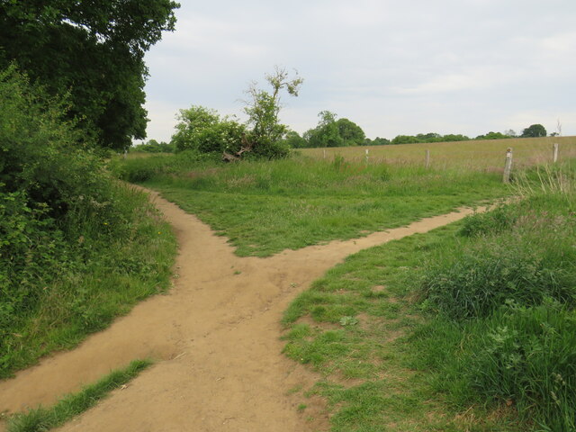
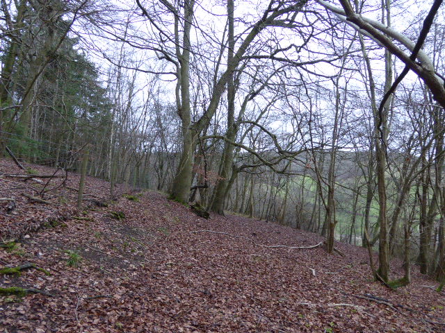
Albury Downs is a picturesque area located in the county of Surrey, England. Situated on the southern slopes of the North Downs, it covers an expansive area of downs and moorland. The landscape is characterized by rolling hills, open grassland, and patches of heathland. Albury Downs offers breathtaking panoramic views of the surrounding countryside, with its elevated position providing glimpses of the Surrey Hills Area of Outstanding Natural Beauty.
The downs are adorned with a variety of wildflowers, creating a vibrant and colorful tapestry during the spring and summer months. The moorland, on the other hand, displays a more rugged and untamed character, with areas of gorse and heather dominating the landscape. This mix of habitats makes Albury Downs a haven for a diverse range of flora and fauna.
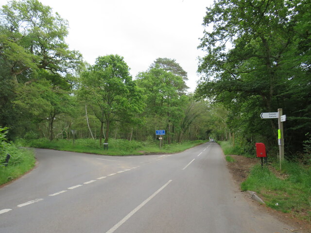
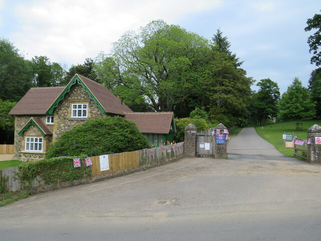
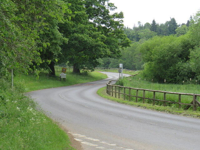
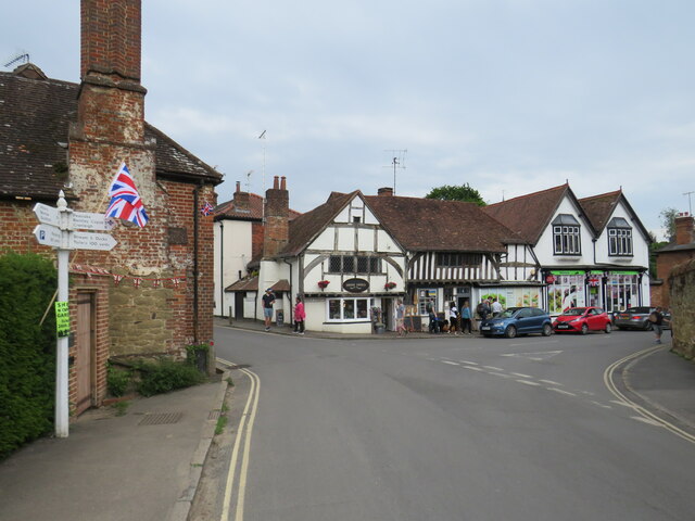
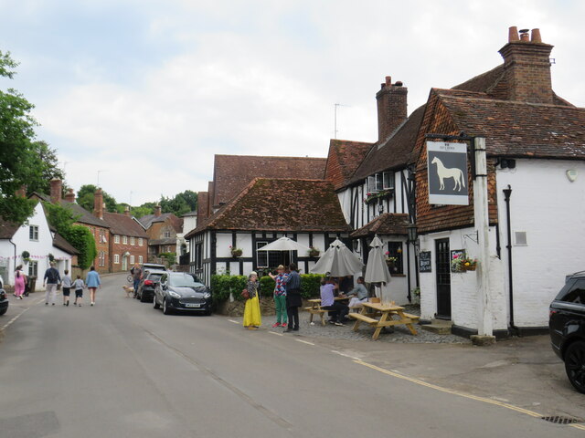
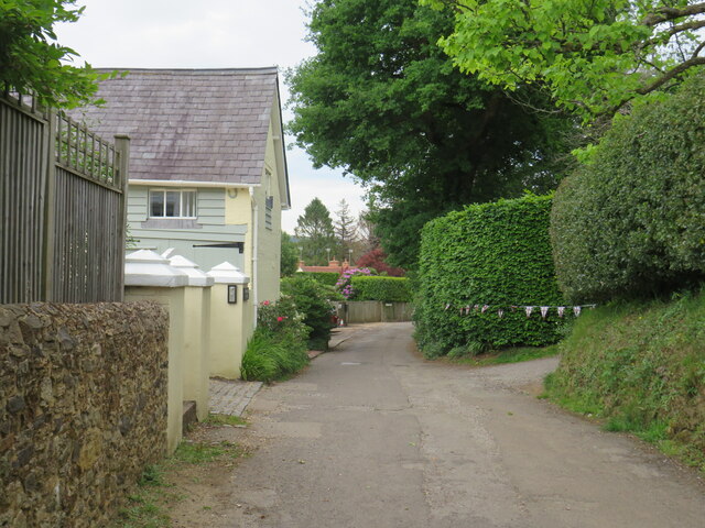
The area is popular among outdoor enthusiasts, offering numerous walking and cycling trails that wind their way through the downs and moorland. Visitors can explore the vast expanse of open space, enjoying the tranquility and fresh air that the area provides. Albury Downs is also home to several ancient landmarks, including burial mounds and hill forts, adding to its historical significance.
Albury Downs is easily accessible, with nearby parking facilities and public transportation links. It provides an ideal destination for nature lovers, hikers, and those seeking a peaceful retreat away from the hustle and bustle of city life.
If you have any feedback on the listing, please let us know in the comments section below.
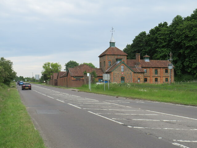
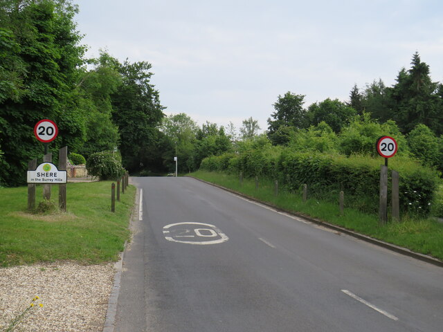
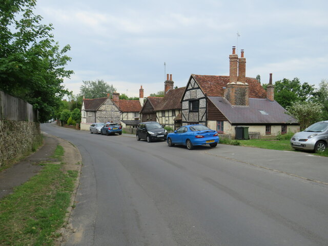
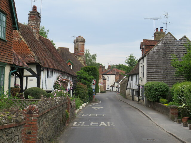
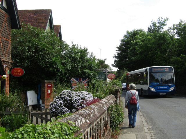
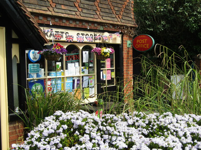
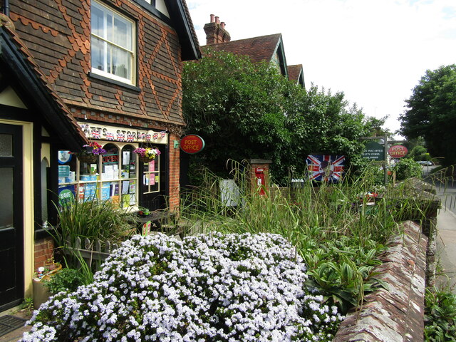
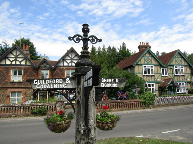
Albury Downs Images
Images are sourced within 2km of 51.229658/-0.47951809 or Grid Reference TQ0648. Thanks to Geograph Open Source API. All images are credited.
Albury Downs is located at Grid Ref: TQ0648 (Lat: 51.229658, Lng: -0.47951809)
Administrative County: Surrey
District: Guildford
Police Authority: Surrey
What 3 Words
///ends.garage.could. Near Chilworth, Surrey
Nearby Locations
Related Wikis
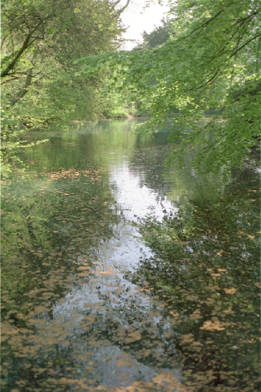
Silent Pool
Silent Pool is a spring-fed lake at the foot of the North Downs, about 4 miles (6 km) east of Guildford in Surrey. The outflow from Silent Pool runs into...
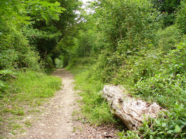
Combe Bottom
Combe Bottom is a 42.1-hectare (104-acre) biological Site of Special Scientific Interest north of Shere in Surrey. It is designated a Local Nature Reserve...

Old St Peter and St Paul's Church, Albury
Old St Peter and St Paul's Church is a former Anglican church near the village of Albury, Surrey, England in the care of The Churches Conservation Trust...

Albury Park
Albury Park is a country park and Grade II* listed historic country house (Albury Park Mansion) in Surrey, England. It covers over 150 acres (0.61 km2...

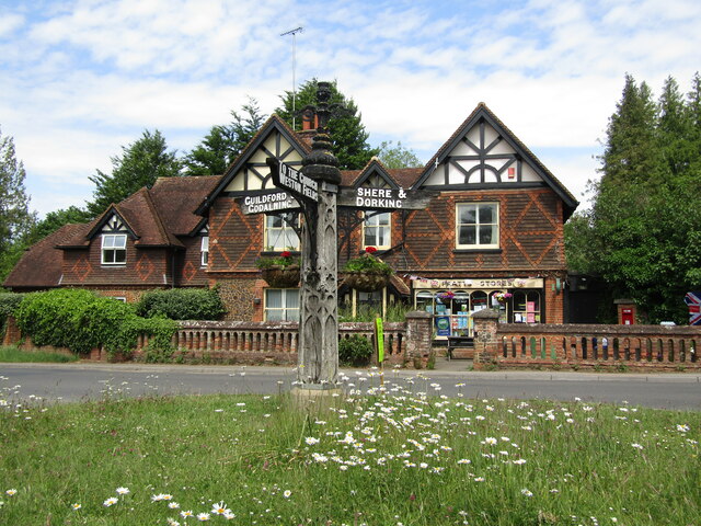
Shere
Shere is a village in the Guildford district of Surrey, England 4.8 miles (7.7 km) east south-east of Guildford and 5.4 miles (8.7 km) west of Dorking...

Newlands Corner
Newlands Corner is a 103-hectare (250-acre) nature reserve east of Guildford in Surrey, England. It is owned by the Albury Estate. It used to be managed...

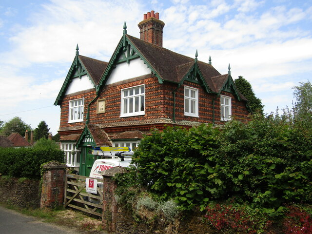
Albury, Surrey
Albury is a village and civil parish in central Surrey, England, around 3.5 miles (5.6 km) east of Guildford. It is in the Surrey Hills Area of Outstanding...
Colekitchen Down
Colekitchen Down is a 3-hectare (7.4-acre) nature reserve north of Gomshall in Surrey. It is managed by the Surrey Wildlife Trust.This sloping area of...
Nearby Amenities
Located within 500m of 51.229658,-0.47951809Have you been to Albury Downs?
Leave your review of Albury Downs below (or comments, questions and feedback).