Silver Wood

Wood, Forest in Surrey Guildford

England

Silver Wood

Direction Sign – Signpost on Upper Street, Shere Located on the north side of the junction of Upper Street and Middle Street in Shere parish. 3 arms and cone finial.

Milestone Society National ID: SY_TQ0747
Direction Sign – Signpost on Upper Street, Shere Credit: John V Nicholls

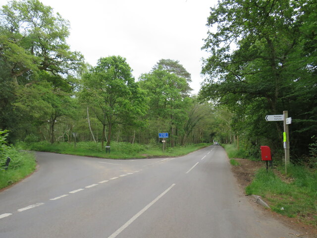
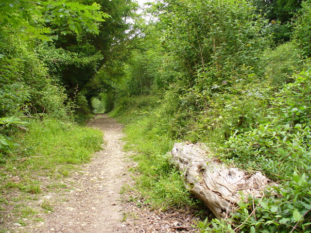
Silver Wood is a stunning forest located in Surrey, England. Covering an area of approximately 100 acres, it is a haven for nature enthusiasts and outdoor lovers. The forest is characterized by its enchanting silver birch trees, which give it its unique name.

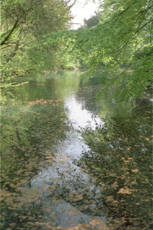
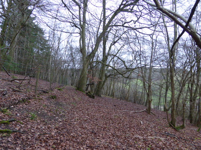
As visitors step into Silver Wood, they are greeted by a peaceful and serene atmosphere. The towering silver birches form a dense canopy, casting dappled sunlight onto the forest floor, creating a picturesque scene. The woodland is also home to a wide variety of flora and fauna, making it an ideal spot for wildlife observation and nature photography.

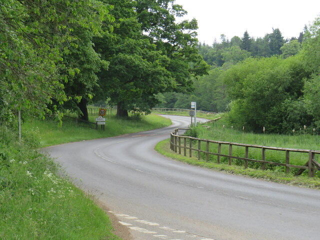
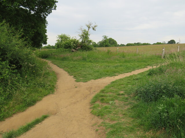
Traversing the forest, visitors can explore a network of well-maintained trails that wind through the trees. These trails cater to different levels of difficulty, providing options for both casual walkers and avid hikers. The paths are lined with vibrant wildflowers and occasionally lead to small clearings, offering picturesque spots for picnics and relaxation.

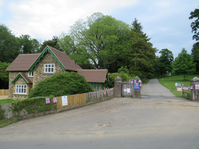
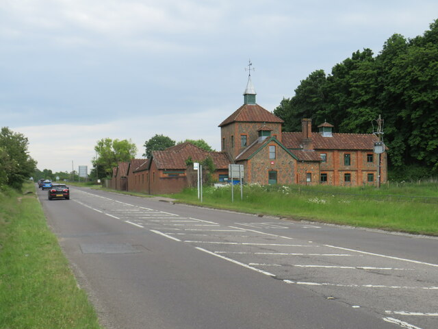
Silver Wood is not only a natural haven but also a place of historical significance. It has been a part of Surrey's landscape for centuries and has witnessed the passage of time. The forest holds remnants of ancient settlements, including archaeological sites and remnants of old structures, which serve as a reminder of the area's rich history.

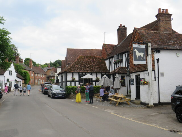
Overall, Silver Wood offers a tranquil escape from the hustle and bustle of city life. Its natural beauty, diverse wildlife, and historical significance make it a must-visit destination for anyone seeking a connection with nature and a glimpse into Surrey's past.

If you have any feedback on the listing, please let us know in the comments section below.

Silver Wood Images

Images are sourced within 2km of 51.221448/-0.47606536 or Grid Reference TQ0648. Thanks to Geograph Open Source API. All images are credited.

Direction Sign – Signpost on Upper Street, Shere Located on the north side of the junction of Upper Street and Middle Street in Shere parish. 3 arms and cone finial.

Milestone Society National ID: SY_TQ0747
Direction Sign – Signpost on Upper Street, Shere
Located on the north side of the junction of Upper Street and Middle Street in Shere parish. 3 arms and cone finial. Milestone Society National ID: SY_TQ0747
No. 35028 'Clan Line' with the Belmond British Pullman No. 35028 'Clan Line' approaches the Sandy Lane bridge near Shere with the Belmond British Pullman circular dining tour from Victoria via Guildford.
No. 35028 'Clan Line' with the Belmond British Pullman
No. 35028 'Clan Line' approaches the Sandy Lane bridge near Shere with the Belmond British Pullman circular dining tour from Victoria via Guildford.
New Road, Brook, near Guildford New Road passing through the hamlet of Brook, near Guildford.
New Road, Brook, near Guildford
New Road passing through the hamlet of Brook, near Guildford.
Level crossing at Brook, near Guildford A level crossing on the North Downs Line at Brook, near Guildford.  Train services on this railway line connect Reading and Guildford with Dorking, Redhill and Gatwick Airport
Level crossing at Brook, near Guildford
A level crossing on the North Downs Line at Brook, near Guildford. Train services on this railway line connect Reading and Guildford with Dorking, Redhill and Gatwick Airport
New Road, near Albury New Road in Surrey countryside, close to the village of Albury.  The road sign warns of a railway level crossing ahead.
New Road, near Albury
New Road in Surrey countryside, close to the village of Albury. The road sign warns of a railway level crossing ahead.
Road junction near Albury A junction of minor roads in the Surrey Hills, near the village of Albury.
Road junction near Albury
A junction of minor roads in the Surrey Hills, near the village of Albury.
Albury Park entrance and lodge An entrance to Albury Park, in Surrey.  The building to the left of the entrance is a lodge.
Albury Park entrance and lodge
An entrance to Albury Park, in Surrey. The building to the left of the entrance is a lodge.
A248 road at Albury A double bend on the A248 road as it enters the village of Albury.
A248 road at Albury
A double bend on the A248 road as it enters the village of Albury.
A25 road near Albury A view eastwards along the A25 road between Albury and Shere in Surrey.  The building on the opposite side of the road is Home Farm.
A25 road near Albury
A view eastwards along the A25 road between Albury and Shere in Surrey. The building on the opposite side of the road is Home Farm.
Upper Street, Shere Upper Street entering the village of Shere in Surrey.  The speed limit drops to 20 miles per hour through the village.
Upper Street, Shere
Upper Street entering the village of Shere in Surrey. The speed limit drops to 20 miles per hour through the village.
Upper Street, Shere Upper Street in the Surrey village of Shere.
Upper Street, Shere
Upper Street in the Surrey village of Shere.
Upper Street, Shere Upper Street in the Surrey village of Shere.
Upper Street, Shere
Upper Street in the Surrey village of Shere.
Shere village centre A road junction in the centre of the village of Shere in Surrey.
Shere village centre
A road junction in the centre of the village of Shere in Surrey.
Middle Street, Shere Middle Street in the village of Shere in Surrey.  To the right of the image is a pub called The White Horse.
Middle Street, Shere
Middle Street in the village of Shere in Surrey. To the right of the image is a pub called The White Horse.
The Spinning Walk, Shere The Spinning Walk, in the village of Shere, is on route 22 of the National Cycle Network.
The Spinning Walk, Shere
The Spinning Walk, in the village of Shere, is on route 22 of the National Cycle Network.
Paths cross near Shere Two paths cross on a hillside near Shere, in Surrey.  The path which bears left forms part of route 22 of the National Cycle Network.
Paths cross near Shere
Two paths cross on a hillside near Shere, in Surrey. The path which bears left forms part of route 22 of the National Cycle Network.
National Cycle Network route 22 at Gomshall A bridleway used by National Cycle Network route 22 as it enters the village of Gomshall in Surrey.  The small blue sign on the post to the left of the image indicates the cycle route.
National Cycle Network route 22 at Gomshall
A bridleway used by National Cycle Network route 22 as it enters the village of Gomshall in Surrey. The small blue sign on the post to the left of the image indicates the cycle route.
Road junction in Gomshall A junction of minor roads in the Surrey village of Gomshall.  The junction is on route 22 of the National Cycle Network, indicated by the small blue sign attached to the signpost.
Road junction in Gomshall
A junction of minor roads in the Surrey village of Gomshall. The junction is on route 22 of the National Cycle Network, indicated by the small blue sign attached to the signpost.
Show me another place!

Silver Wood is located at Grid Ref: TQ0648 (Lat: 51.221448, Lng: -0.47606536)

Administrative County: Surrey

District: Guildford

Police Authority: Surrey

What 3 Words

///pushed.zoom.movie. Near Chilworth, Surrey

Related Wikis

Old St Peter and St Paul's Church, Albury

Old St Peter and St Paul's Church is a former Anglican church near the village of Albury, Surrey, England in the care of The Churches Conservation Trust...

Albury Park

Albury Park is a country park and Grade II* listed historic country house (Albury Park Mansion) in Surrey, England. It covers over 150 acres (0.61 km2...
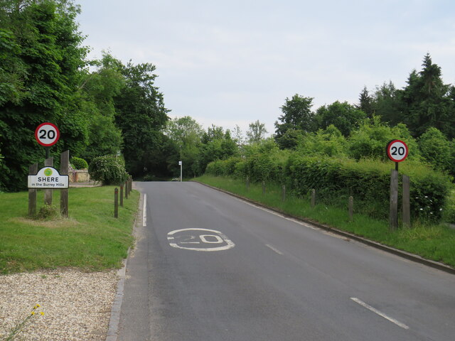
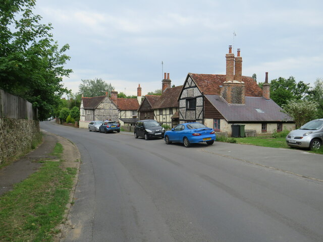
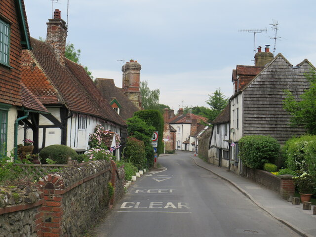
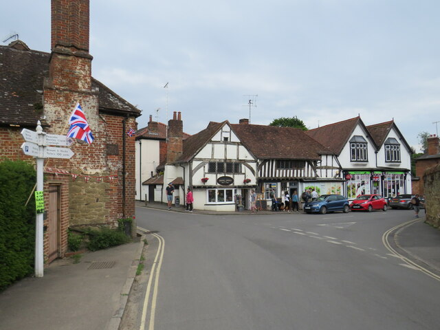
Shere

Shere is a village in the Guildford district of Surrey, England 4.8 miles (7.7 km) east south-east of Guildford and 5.4 miles (8.7 km) west of Dorking...

Silent Pool

Silent Pool is a spring-fed lake at the foot of the North Downs, about 4 miles (6 km) east of Guildford in Surrey. The outflow from Silent Pool runs into...

Combe Bottom

Combe Bottom is a 42.1-hectare (104-acre) biological Site of Special Scientific Interest north of Shere in Surrey. It is designated a Local Nature Reserve...

Albury, Surrey

Albury is a village and civil parish in central Surrey, England, around 3.5 miles (5.6 km) east of Guildford. It is in the Surrey Hills Area of Outstanding...
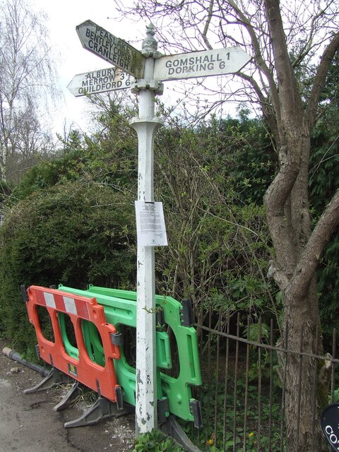
Gomshall

Gomshall is a village in the borough of Guildford in Surrey, England.It is on the A25, roughly halfway between Guildford and Dorking, and in Shere civil...

Colekitchen Down

Colekitchen Down is a 3-hectare (7.4-acre) nature reserve north of Gomshall in Surrey. It is managed by the Surrey Wildlife Trust.This sloping area of...

Nearby Amenities

Located within 500m of 51.221448,-0.47606536
Barrier: kissing_gate
Lat/Long: 51.2231438/-0.4824853
Barrier: kissing_gate
Lat/Long: 51.2225233/-0.4790068
Post Box
Collection Plate: CP5D
Collection Times: Mo-Fr 09:00; Sa 07:00
Last Checked: 2020-02-20
Old Ref: GU5 86
Operator: Royal Mail
Post Box Type: wall
Postal Code: GU5
Ref: GU5 86D
Royal Cypher: VR
Royal Cypher Wikidata: Q33102356
Source: photo
Lat/Long: 51.2206768/-0.4695473
Albury Park
Place: locality
Lat/Long: 51.2195025/-0.4788036
Chantry Lane Cottage
Building: yes
Source: photo
Lat/Long: 51.2189254/-0.4710937
Barrier: kissing_gate
Lat/Long: 51.2211631/-0.4742514
Bus Stop
Upper Lodge
Naptan AtcoCode: 40004407371A
Naptan Bearing: NW
Naptan CommonName: Upper Lodge
Naptan Indicator: Just Before
Naptan Landmark: Upper Lodge
Naptan NaptanCode: suratgat
Naptan Street: Upper Street
Naptan Verified: yes
Public Transport: platform
Source: naptan_import
Lat/Long: 51.2212401/-0.4707202
Bus Stop
Upper Lodge
Naptan AtcoCode: 40004407371B
Naptan Bearing: SE
Naptan CommonName: Upper Lodge
Naptan Indicator: Just after
Naptan Landmark: Chantry Lane
Naptan NaptanCode: suratgaw
Naptan Street: Upper Street
Naptan Verified: yes
Public Transport: platform
Source: naptan_import
Lat/Long: 51.2215281/-0.470747
Barrier: kissing_gate
Lat/Long: 51.2200352/-0.4717345
Barrier: kissing_gate
Lat/Long: 51.2191565/-0.4807115
Bus Stop
Silent Pool
Addr Street: Shere Road
Bearing: W
Bus: yes
Naptan AtcoCode: 40004407372A
Naptan NaptanCode: suratgda
Public Transport: platform
Source: gps
Website: http://nextbuses.mobi/WebView/BusStopSearch/BusStopSearchResults/suratgda?currentPage=0
Wheelchair: yes
Wheelchair Description: Step-free to stop opposite via island refuges with tactile paving. NOT step-free to Silent Pool car park.
Lat/Long: 51.2246936/-0.4808528
Fountain
Lat/Long: 51.218789/-0.4785211
Barrier: cattle_grid
Lat/Long: 51.2203858/-0.4725872
The data included in this document is from www.openstreetmap.org. The data is made available under ODbL.

Have you been to Silver Wood?

Leave your review of Silver Wood below (or comments, questions and feedback).