Loves Hanger
Wood, Forest in Sussex Chichester
England
Loves Hanger
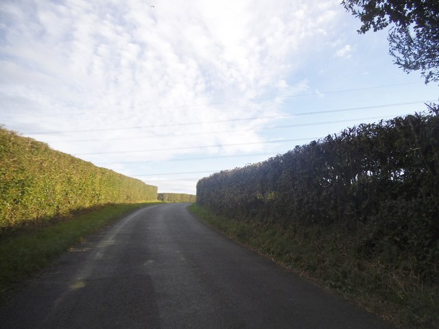
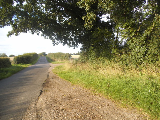
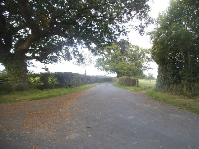
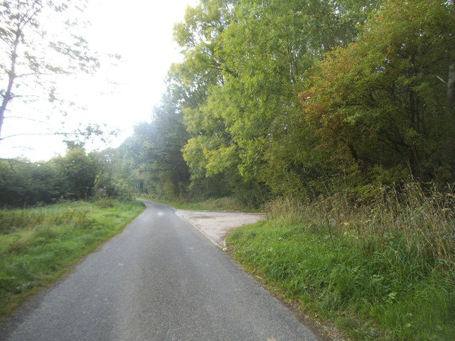
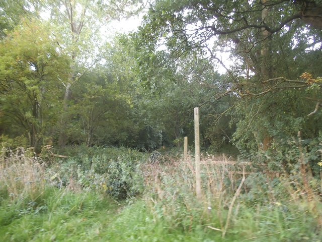
Loves Hanger, located in Sussex, England, is a stunning woodland area known for its natural beauty and serene atmosphere. This enchanting forest is situated within the South Downs National Park, offering visitors a truly immersive experience in nature. The hanger, a term used to describe a steep wooded slope, is characterized by its dense canopy of trees and lush vegetation.
The woodland in Loves Hanger is predominantly made up of broadleaf species, such as oak, beech, and ash trees, which provide a rich tapestry of vibrant colors throughout the seasons. In the spring, the forest floor comes alive with a carpet of bluebells, creating a breathtaking sight for nature enthusiasts and photographers alike.
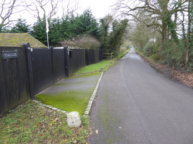
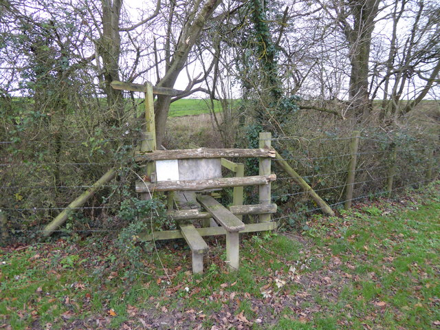
The area is a popular destination for outdoor activities, including hiking, cycling, and birdwatching. Numerous walking trails meander through the woodland, allowing visitors to explore the diverse flora and fauna that call Loves Hanger their home. Birdwatchers can spot a variety of avian species, including woodpeckers, owls, and various songbirds.
Loves Hanger offers a tranquil escape from the hustle and bustle of everyday life, making it an ideal location for relaxation and mindfulness. The peaceful ambiance, coupled with the enchanting beauty of the woodland, provides a perfect setting for picnics or simply unwinding amidst nature.
Overall, Loves Hanger in Sussex is a captivating forest that showcases the natural wonders of the South Downs National Park. It is a haven for outdoor enthusiasts and nature lovers, offering a unique experience of tranquility and natural splendor.
If you have any feedback on the listing, please let us know in the comments section below.
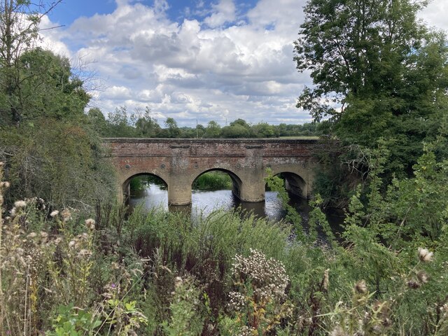
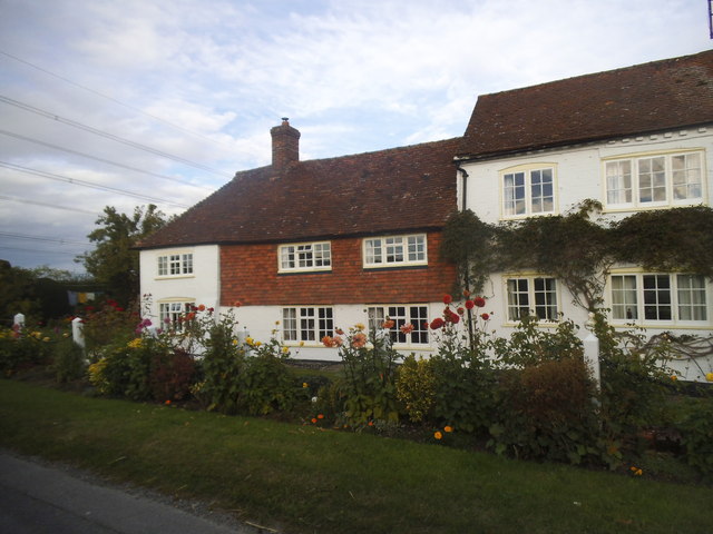
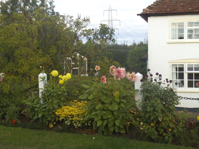
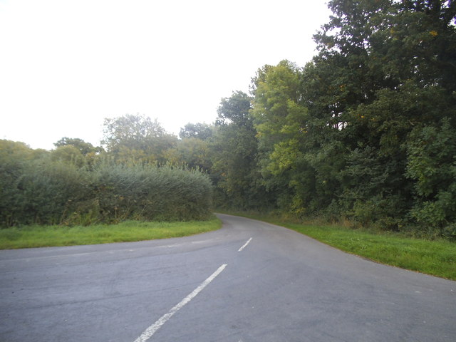
Loves Hanger Images
Images are sourced within 2km of 51.038077/-0.48223124 or Grid Reference TQ0627. Thanks to Geograph Open Source API. All images are credited.


Loves Hanger is located at Grid Ref: TQ0627 (Lat: 51.038077, Lng: -0.48223124)
Administrative County: West Sussex
District: Chichester
Police Authority: Sussex
What 3 Words
///forge.donates.nagging. Near Billingshurst, West Sussex
Nearby Locations
Related Wikis

Coppedhall Hanger
Coppedhall Hanger is a 0.6-hectare (1.5-acre) geological Site of Special Scientific Interest north of Billingshurst in West Sussex. It is a Geological...

Billingshurst F.C.
Billingshurst Football Club is a football club based in Billingshurst, West Sussex, England. They are currently members of the Southern Combination Division...

Wisborough Green
Wisborough Green is a village and civil parish in the north of the Chichester district of West Sussex, England, 2 miles (3.2 km) west of Billingshurst...

The Haven, West Sussex
The Haven is a rural hamlet in West Sussex, south east England located about 7 miles to the west of Horsham.The Haven is primarily an agricultural area...

Billingshurst Unitarian Chapel
Billingshurst Unitarian Chapel is a place of worship in Billingshurst in the English county of West Sussex. The cottage-like building was erected in 1754...

Billingshurst
Billingshurst is a village and civil parish in the Horsham District of West Sussex, England. The village lies on the A29 road (the Roman Stane Street)...
The Weald School
The Weald School is a coeducational secondary school and sixth form. It caters for around 1,700 pupils in years 7 to 13, including over 300 in its sixth...

River Kird
The River Kird is a river located in the Chichester District of West Sussex, England that is a tributary to the River Arun. It is located in South Downs...
Nearby Amenities
Located within 500m of 51.038077,-0.48223124Have you been to Loves Hanger?
Leave your review of Loves Hanger below (or comments, questions and feedback).