Stocking Dale
Valley in Yorkshire Scarborough
England
Stocking Dale
Stocking Dale is a picturesque valley located in the region of Yorkshire, England. Nestled amidst rolling hills and lush greenery, the dale is renowned for its natural beauty and tranquility. It is situated in the southern part of Yorkshire, just a few miles west of the charming market town of Huddersfield.
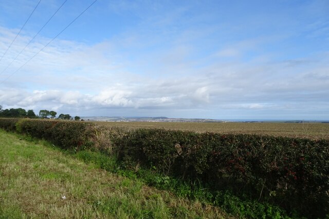
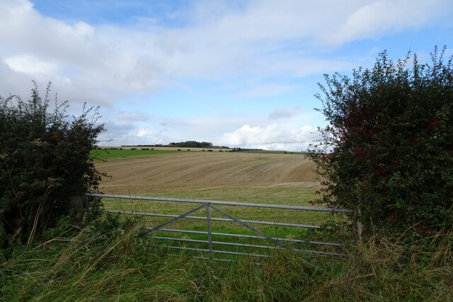
The main feature of Stocking Dale is its stunning landscape, characterized by a meandering river that runs through the valley, flanked by dense woodlands and vibrant wildflowers. The river, known as the Stocking Beck, adds to the allure of the area, offering a peaceful ambiance and providing a habitat for various aquatic species.
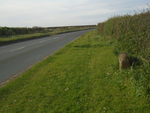
Walking trails and footpaths crisscross the dale, attracting nature enthusiasts and hikers who come to explore the area's scenic vistas. The trails lead visitors through ancient woodlands, where they can spot an array of wildlife, including deer, rabbits, and a diverse range of bird species. The dale also boasts several viewpoints that offer breathtaking panoramic views of the surrounding countryside.
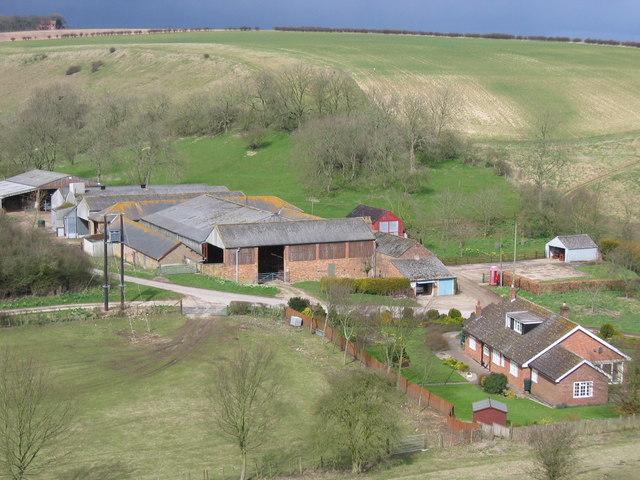
Historically, Stocking Dale was an important industrial area, with several mills and factories operating along the river. However, as the industrial era declined, the dale underwent a transformation, becoming a haven for those seeking peace and tranquility in nature.
Visitors to Stocking Dale can enjoy various recreational activities, such as picnicking, fishing in the river, or simply taking a leisurely stroll along the riverbanks. The valley also hosts various events throughout the year, including nature walks and conservation programs, allowing visitors to learn more about the local flora and fauna.
In summary, Stocking Dale in Yorkshire is a captivating valley that offers a picturesque landscape, abundant wildlife, and a serene atmosphere, making it a perfect destination for nature lovers and those seeking an escape from the hustle and bustle of modern life.
If you have any feedback on the listing, please let us know in the comments section below.
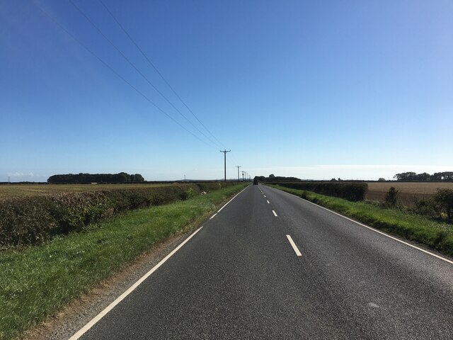
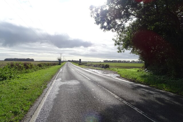
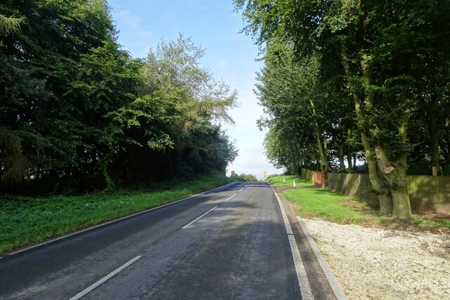
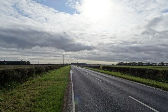
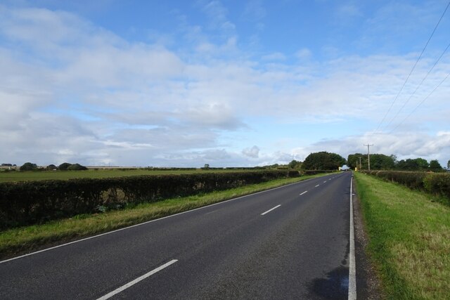
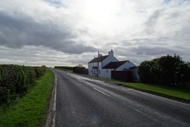
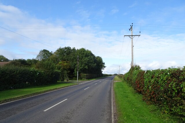
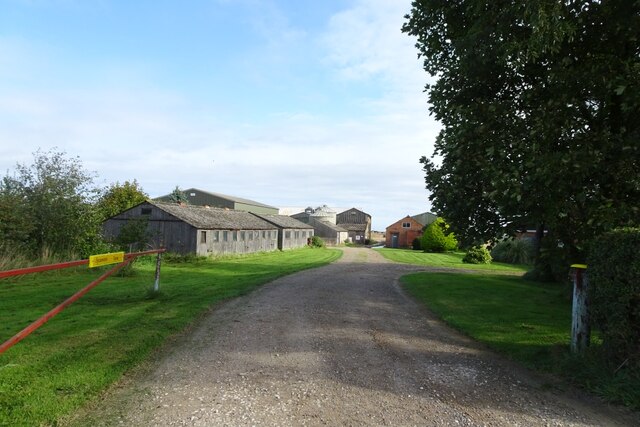
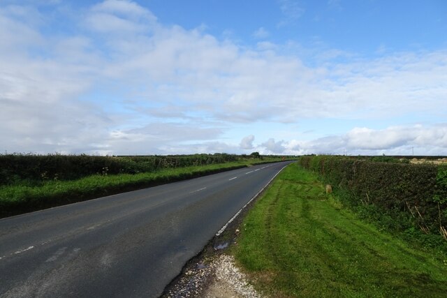
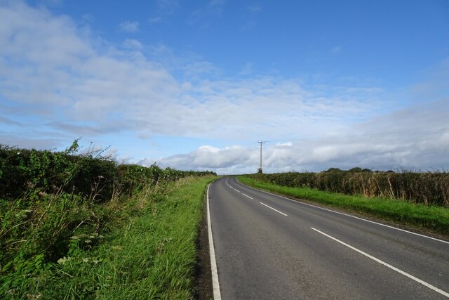
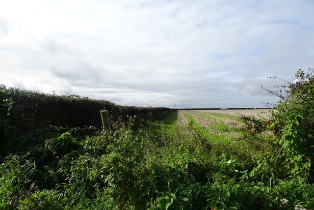
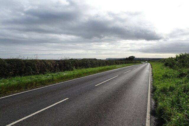
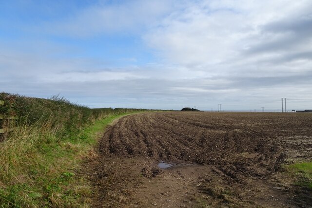
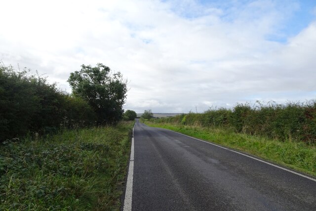
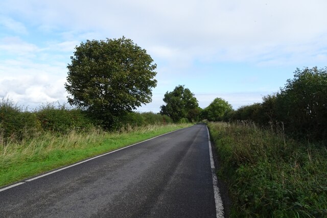
Stocking Dale Images
Images are sourced within 2km of 54.176253/-0.36617382 or Grid Reference TA0676. Thanks to Geograph Open Source API. All images are credited.
Stocking Dale is located at Grid Ref: TA0676 (Lat: 54.176253, Lng: -0.36617382)
Division: East Riding
Administrative County: North Yorkshire
District: Scarborough
Police Authority: North Yorkshire
What 3 Words
///elevates.slogans.jukebox. Near Hunmanby, North Yorkshire
Nearby Locations
Related Wikis
Fordon, East Riding of Yorkshire
Fordon is a village and former civil parish, now in the parish of Wold Newton, in the East Riding of Yorkshire, England, near the border with North Yorkshire...

Folkton
Folkton is a small village and civil parish at the foot of the Yorkshire Wolds and on the edge of the Vale of Pickering on an area known as Folkton Carr...

Hunmanby
Hunmanby is a large village and civil parish in North Yorkshire, England. It was part of the East Riding of Yorkshire until 1974. From 1974 to 2023 it...

Hunmanby railway station
Hunmanby railway station serves the large village of Hunmanby in North Yorkshire, England. It is located on the Yorkshire Coast Line and is operated by...

Flixton, North Yorkshire
Flixton is a village in North Yorkshire, England. Until 1974 the village lay in the historic county boundaries of the East Riding of Yorkshire and from...
Muston, North Yorkshire
Muston is a village and civil parish, in North Yorkshire, England. It was historically in the East Riding of Yorkshire. The village is situated 1.5 miles...

Wold Newton, East Riding of Yorkshire
Wold Newton is a small Yorkshire Wolds village and civil parish in the East Riding of Yorkshire, England. It is situated approximately 9 miles (14 km)...

Great Wold Valley
The Great Wold Valley is the largest and broadest of the valleys cutting into the Yorkshire Wolds in northern England. It carries the Gypsey Race, an intermittent...
Nearby Amenities
Located within 500m of 54.176253,-0.36617382Have you been to Stocking Dale?
Leave your review of Stocking Dale below (or comments, questions and feedback).