Five Firs Plantation
Wood, Forest in Yorkshire Scarborough
England
Five Firs Plantation
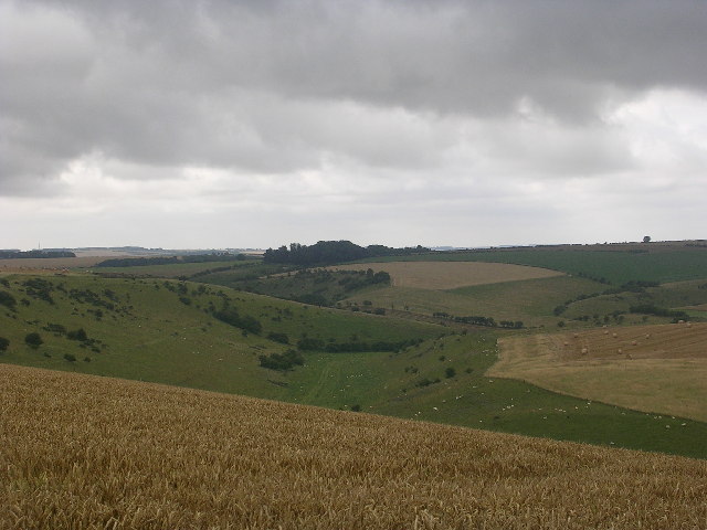
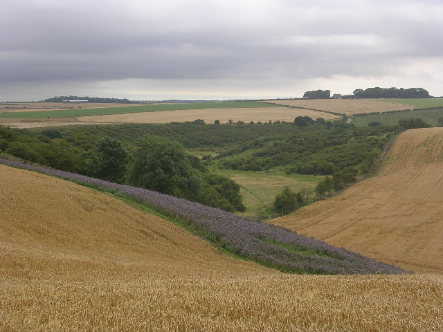
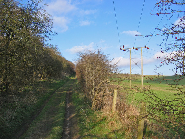
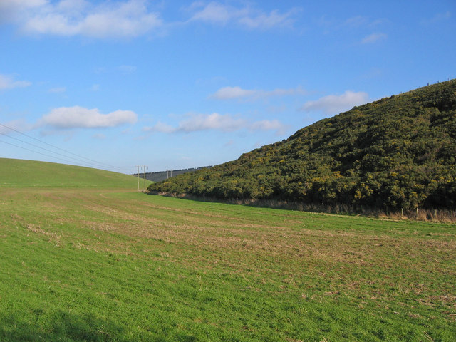
Five Firs Plantation is a picturesque woodland located in Yorkshire, England. Covering an area of approximately 50 acres, this enchanting forest is situated in the heart of Yorkshire's countryside, offering visitors a serene and tranquil retreat from the hustle and bustle of city life.
The plantation gets its name from the five majestic fir trees that stand tall and proud at the entrance, welcoming visitors into the enchanting woodland. These towering evergreens are a sight to behold, providing a sense of grandeur and setting the tone for the natural beauty that awaits within.
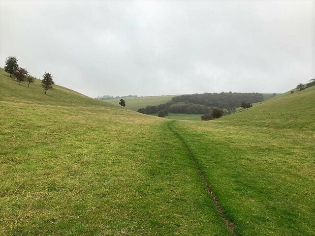
The forest is primarily composed of native trees such as oak, beech, and birch, creating a diverse and vibrant ecosystem. The dense foliage provides a sheltered habitat for a variety of wildlife, including birds, squirrels, and deer, making it a haven for nature enthusiasts and wildlife photographers.
Visitors to Five Firs Plantation can enjoy a range of activities, including leisurely walks along well-maintained trails that wind through the forest. The paths are surrounded by a carpet of wildflowers, offering a burst of color and fragrance during the spring and summer months.
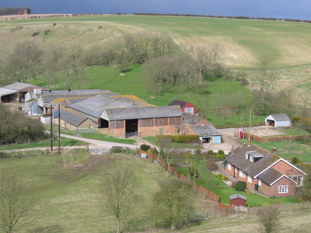
Additionally, the plantation features a picnic area, inviting visitors to relax and enjoy a meal amidst the natural surroundings. The tranquil atmosphere and scenic views make it an ideal spot for families, couples, and individuals seeking a peaceful escape.
Overall, Five Firs Plantation is a hidden gem in Yorkshire, offering a serene and idyllic woodland experience. Its diverse wildlife, stunning trees, and peaceful ambiance make it a must-visit destination for nature lovers and those seeking a respite in nature.
If you have any feedback on the listing, please let us know in the comments section below.
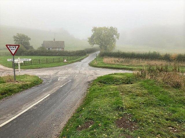
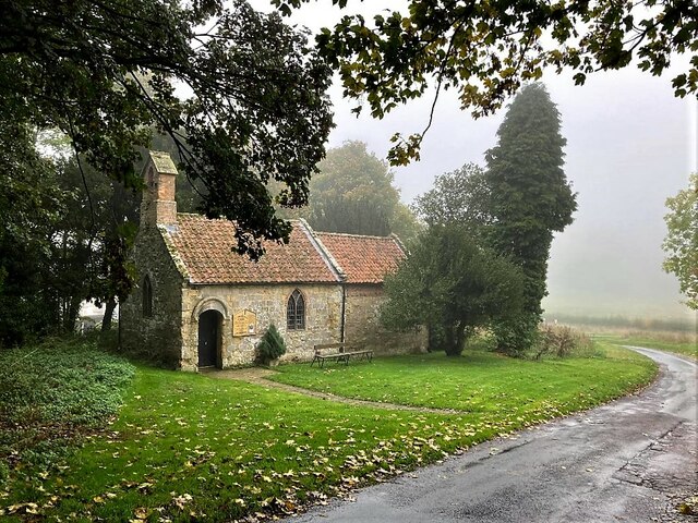
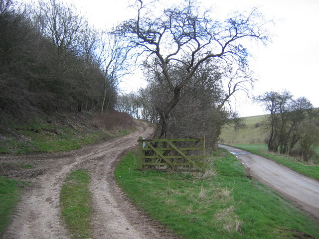
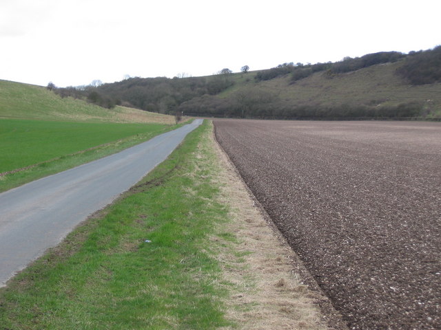
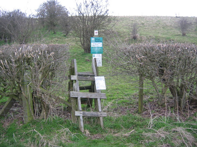
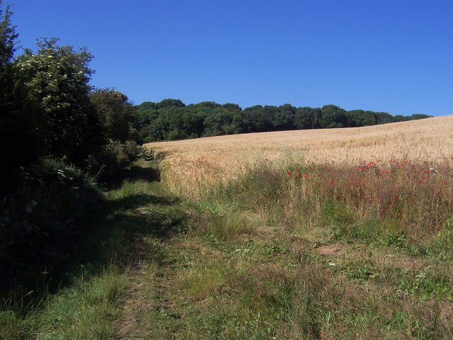
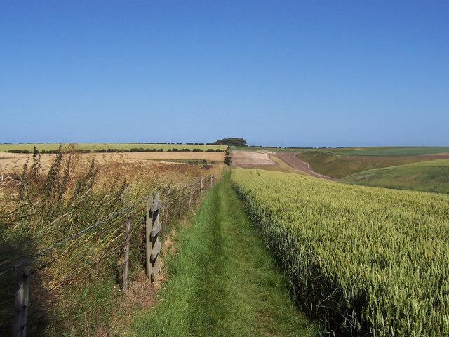
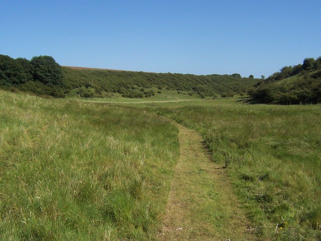
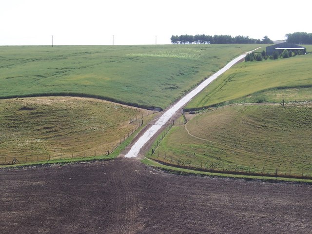
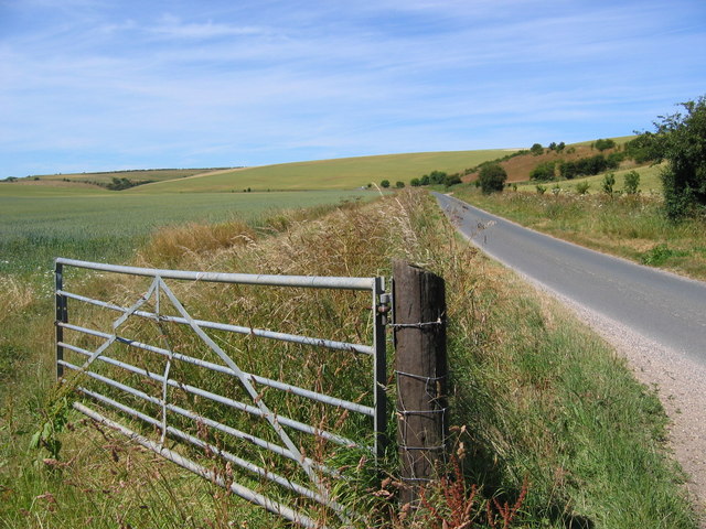
Five Firs Plantation Images
Images are sourced within 2km of 54.169428/-0.37587956 or Grid Reference TA0676. Thanks to Geograph Open Source API. All images are credited.
Five Firs Plantation is located at Grid Ref: TA0676 (Lat: 54.169428, Lng: -0.37587956)
Division: East Riding
Administrative County: North Yorkshire
District: Scarborough
Police Authority: North Yorkshire
What 3 Words
///foreheads.tabloid.migrate. Near Wold Newton, East Yorkshire
Nearby Locations
Related Wikis

Fordon, East Riding of Yorkshire
Fordon is a village and former civil parish, now in the parish of Wold Newton, in the East Riding of Yorkshire, England, near the border with North Yorkshire...

Wold Newton, East Riding of Yorkshire
Wold Newton is a small Yorkshire Wolds village and civil parish in the East Riding of Yorkshire, England. It is situated approximately 9 miles (14 km)...

Great Wold Valley
The Great Wold Valley is the largest and broadest of the valleys cutting into the Yorkshire Wolds in northern England. It carries the Gypsey Race, an intermittent...

Folkton
Folkton is a small village and civil parish at the foot of the Yorkshire Wolds and on the edge of the Vale of Pickering on an area known as Folkton Carr...

Willy Howe
Willy Howe (also Willey-Hou) is a tumulus in the Yorkshire Wolds, East Riding of Yorkshire, England. == History and description == Willy Howe is a large...

Hunmanby railway station
Hunmanby railway station serves the large village of Hunmanby in North Yorkshire, England. It is located on the Yorkshire Coast Line and is operated by...

Hunmanby
Hunmanby is a large village and civil parish in North Yorkshire, England. It was part of the East Riding of Yorkshire until 1974. From 1974 to 2023 it...

Flixton, North Yorkshire
Flixton is a village in North Yorkshire, England. Until 1974 the village lay in the historic county boundaries of the East Riding of Yorkshire and from...
Have you been to Five Firs Plantation?
Leave your review of Five Firs Plantation below (or comments, questions and feedback).