The Camp
Heritage Site in Yorkshire Scarborough
England
The Camp
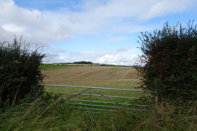
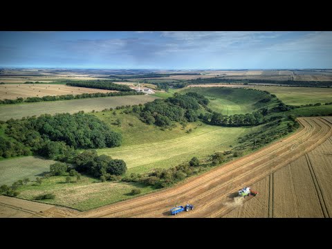
The Camp, Yorkshire, is a historical heritage site located in the picturesque countryside of North Yorkshire, England. This site holds great significance as it is believed to be the remains of an Iron Age hillfort, dating back to around 300 BC. The Camp is situated on a prominent hilltop, providing visitors with stunning panoramic views of the surrounding landscape.
The site covers an area of approximately 2 hectares and is surrounded by well-preserved earthworks and ramparts, which were likely used for defensive purposes. These earthworks consist of a series of ditches and banks, which would have served as barriers to protect the inhabitants of the hillfort.
Archaeological investigations have revealed evidence of human occupation at The Camp, including the discovery of pottery fragments, iron objects, and animal bones. This suggests that the site was not only a defensive structure but also a settlement, potentially housing a small community during the Iron Age.
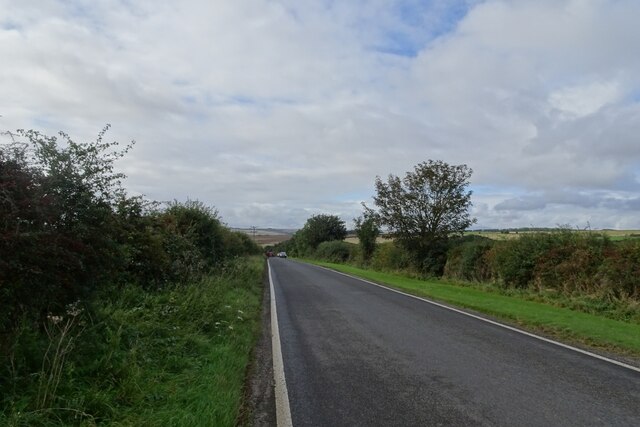
The Camp is open to the public and offers visitors the opportunity to explore the remains of the hillfort. Interpretive panels and information boards provide historical context and insight into the significance of the site. The location of The Camp also offers visitors the chance to enjoy a peaceful walk in the countryside and appreciate the natural beauty of the area.
This heritage site serves as a valuable resource for understanding the lives and activities of the Iron Age inhabitants of Yorkshire. Its well-preserved earthworks and archaeological finds contribute to our knowledge of the region's ancient history and offer a fascinating glimpse into the past.
If you have any feedback on the listing, please let us know in the comments section below.
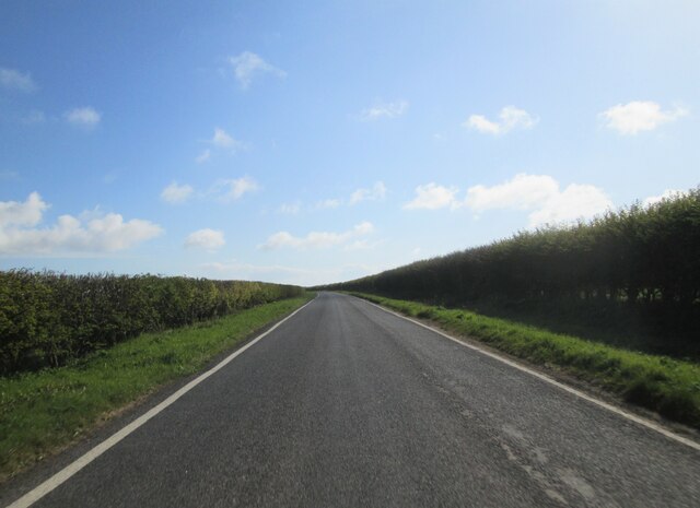
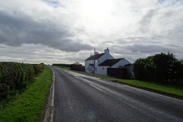
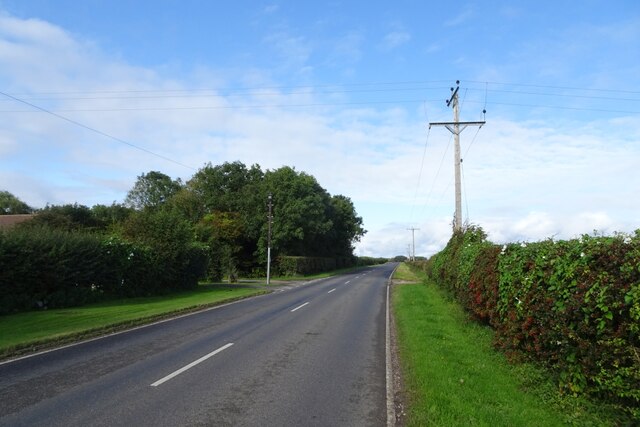
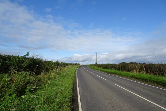
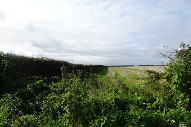
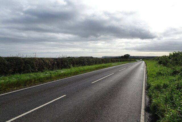
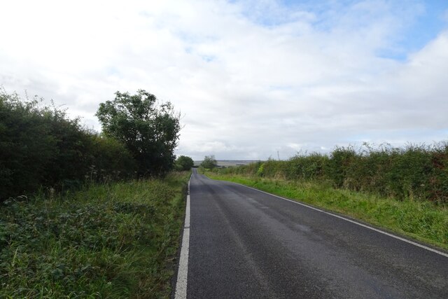
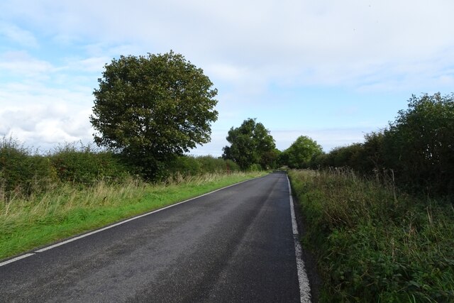
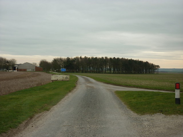
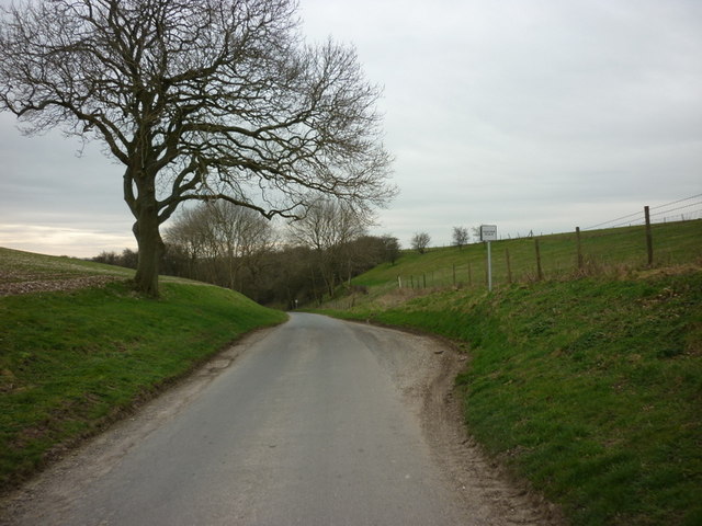
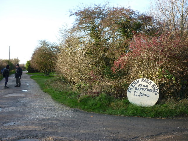
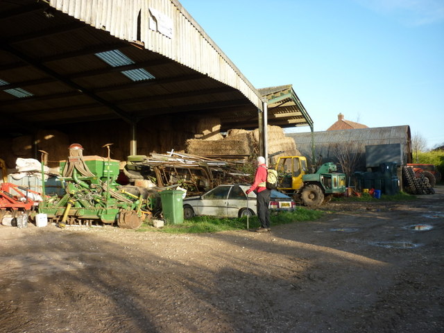
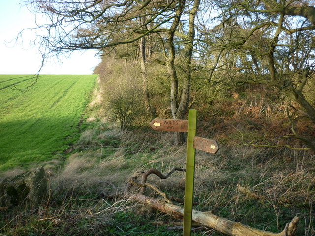
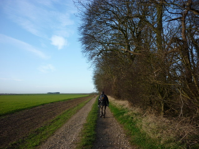
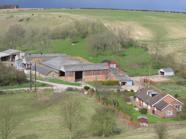
The Camp Images
Images are sourced within 2km of 54.173/-0.368 or Grid Reference TA0676. Thanks to Geograph Open Source API. All images are credited.
The Camp is located at Grid Ref: TA0676 (Lat: 54.173, Lng: -0.368)
Division: East Riding
Administrative County: North Yorkshire
District: Scarborough
Police Authority: North Yorkshire
What 3 Words
///wool.blotches.decorated. Near Hunmanby, North Yorkshire
Nearby Locations
Related Wikis
Fordon, East Riding of Yorkshire
Fordon is a village and former civil parish, now in the parish of Wold Newton, in the East Riding of Yorkshire, England, near the border with North Yorkshire...

Hunmanby
Hunmanby is a large village and civil parish in North Yorkshire, England. It was part of the East Riding of Yorkshire until 1974. From 1974 to 2023 it...

Folkton
Folkton is a small village and civil parish at the foot of the Yorkshire Wolds and on the edge of the Vale of Pickering on an area known as Folkton Carr...

Hunmanby railway station
Hunmanby railway station serves the large village of Hunmanby in North Yorkshire, England. It is located on the Yorkshire Coast Line and is operated by...

Wold Newton, East Riding of Yorkshire
Wold Newton is a small Yorkshire Wolds village and civil parish in the East Riding of Yorkshire, England. It is situated approximately 9 miles (14 km)...

Great Wold Valley
The Great Wold Valley is the largest and broadest of the valleys cutting into the Yorkshire Wolds in northern England. It carries the Gypsey Race, an intermittent...

Flixton, North Yorkshire
Flixton is a village in North Yorkshire, England. Until 1974 the village lay in the historic county boundaries of the East Riding of Yorkshire and from...

Willy Howe
Willy Howe (also Willey-Hou) is a tumulus in the Yorkshire Wolds, East Riding of Yorkshire, England. == History and description == Willy Howe is a large...
Related Videos
GoPro: Humble Bee Farm Family Glamping 2019
GoPro Hero 6, edited with Splice.
YORKSHIRE WOLDS: 500 miles of harvesting. North Yorkshire. #djimini3pro
Production/Editing: Mickey Moo Productions Music: I'm Gonna Be (500 Miles), Gordano Gorgeous Chorus & Gurt Lush Choir ...

Shocked! I Can’t Believe This Is On The Too Good To Go App! 🔞 | Too Good To Go Review | May 2023
https://www.youtube.com/playlist?list=PLnOGbIibFtirQABIctVMbVmlH3w43snjw We're currently on staycation in the East Riding of ...
Nearby Amenities
Located within 500m of 54.173,-0.368Have you been to The Camp?
Leave your review of The Camp below (or comments, questions and feedback).