The Camp Stone
Heritage Site in Perthshire
Scotland
The Camp Stone
The Camp Stone, located in Perthshire, Scotland, is a notable heritage site with a rich historical significance. Nestled amidst the picturesque landscape of the Scottish Highlands, the stone holds a special place in Scotland's ancient history.
Believed to date back to the Neolithic period, around 4000-2000 BC, The Camp Stone stands as a solitary megalithic standing stone, approximately 3.5 meters in height. Its imposing presence and unique design make it a distinctive landmark in the region.
The stone is composed of sandstone and features intricate carvings and engravings, showcasing the craftsmanship of the ancient people who erected it. Though the exact purpose of the stone remains a mystery, it is often speculated that it held religious or ceremonial significance, possibly serving as a marker for burial grounds or as a focal point for gatherings.
The Camp Stone is surrounded by lush greenery and offers visitors a scenic view of the surrounding countryside. It attracts tourists, history enthusiasts, and archaeologists who are fascinated by its ancient origins. The site is well-maintained, with informative plaques providing visitors with historical context and details about the stone's significance.
As a heritage site, The Camp Stone is protected by local authorities and is considered an important part of Scotland's cultural heritage. Its preservation ensures that future generations can continue to appreciate and learn from this ancient monument, connecting them to their distant past and offering a glimpse into Scotland's ancient civilizations.
If you have any feedback on the listing, please let us know in the comments section below.
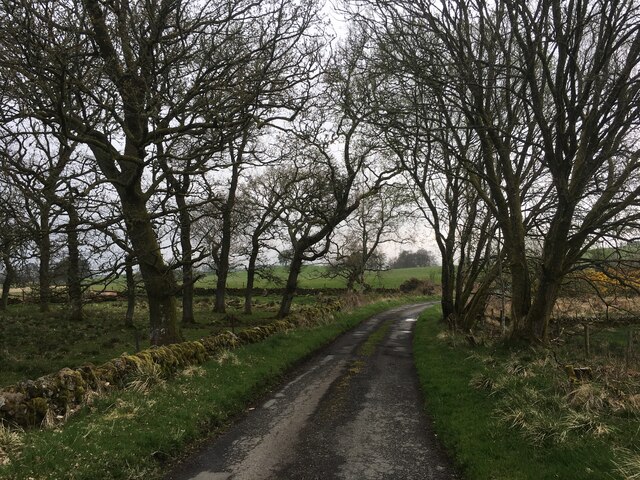
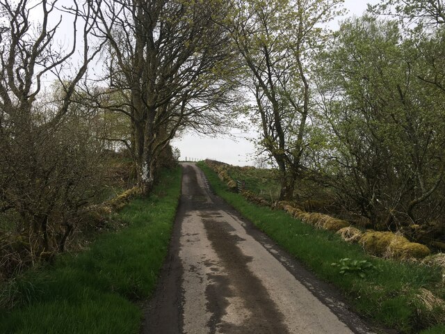
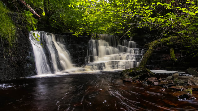
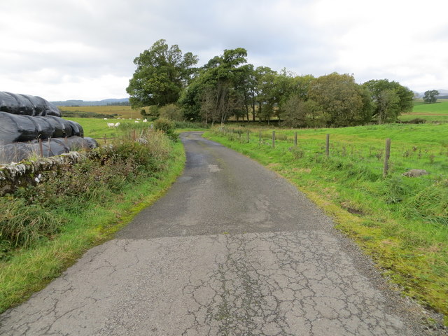
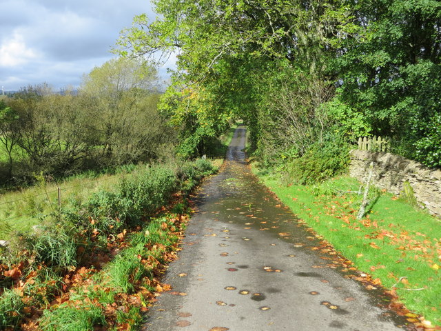
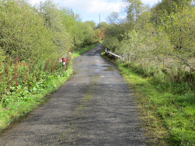
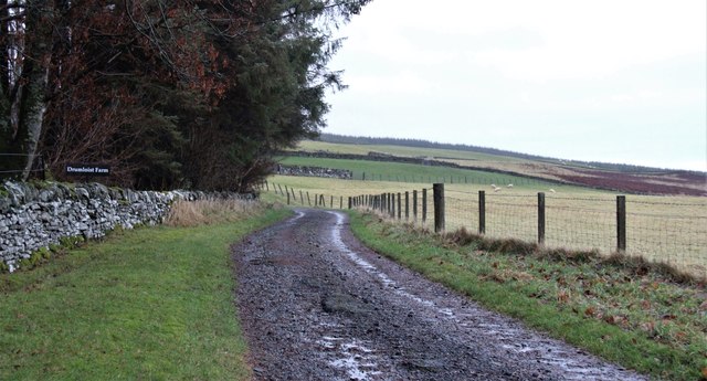
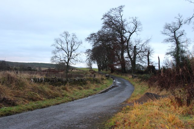
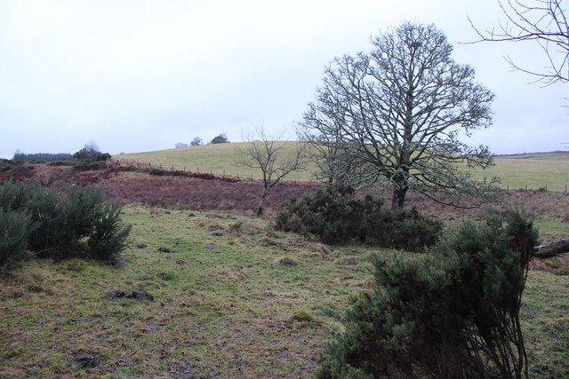
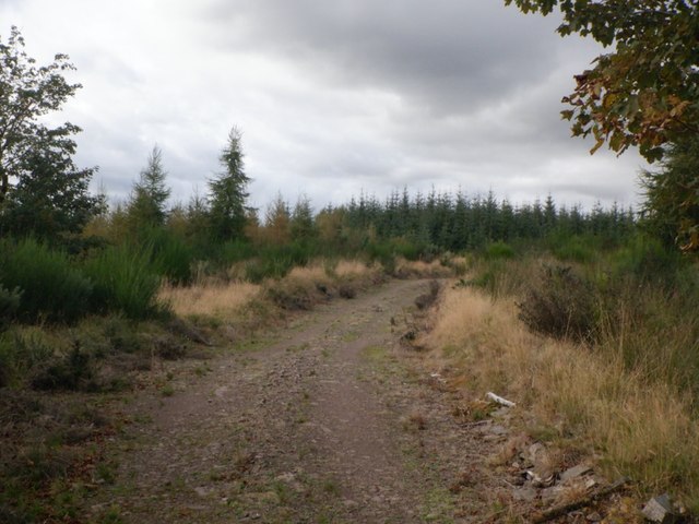
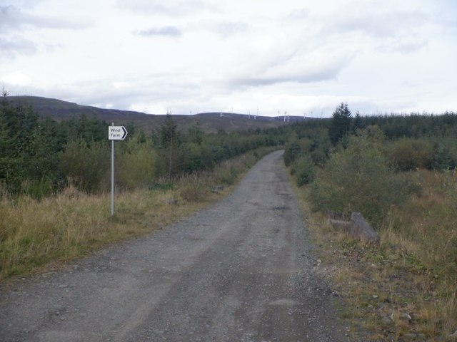
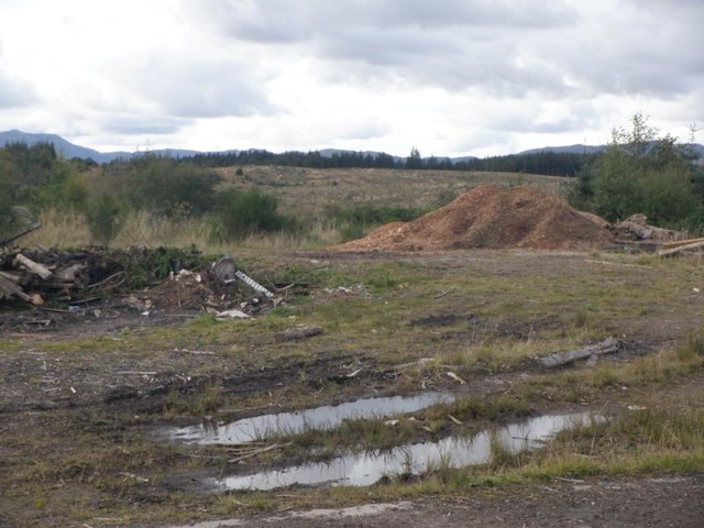
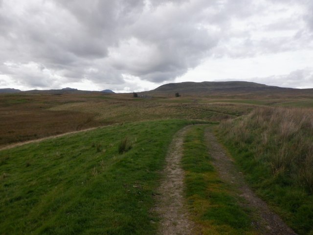
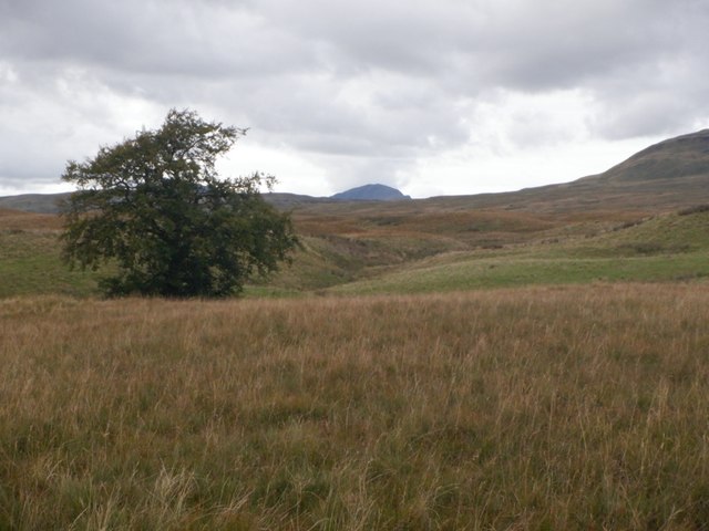
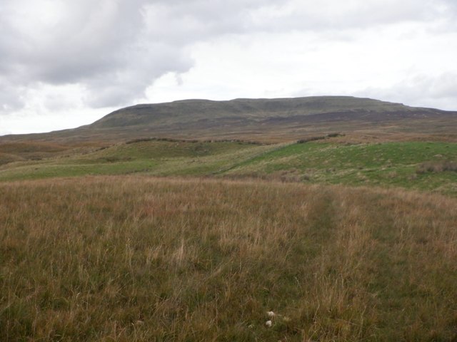
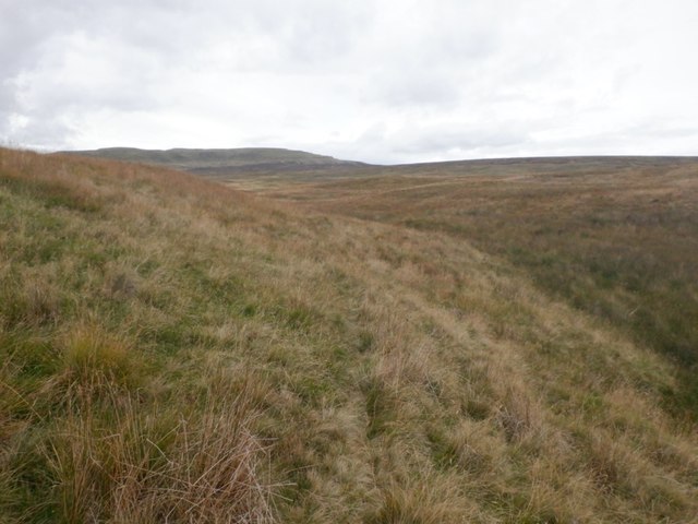
The Camp Stone Images
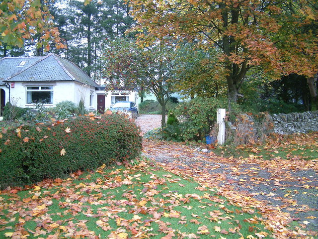
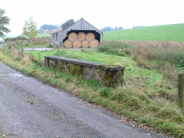
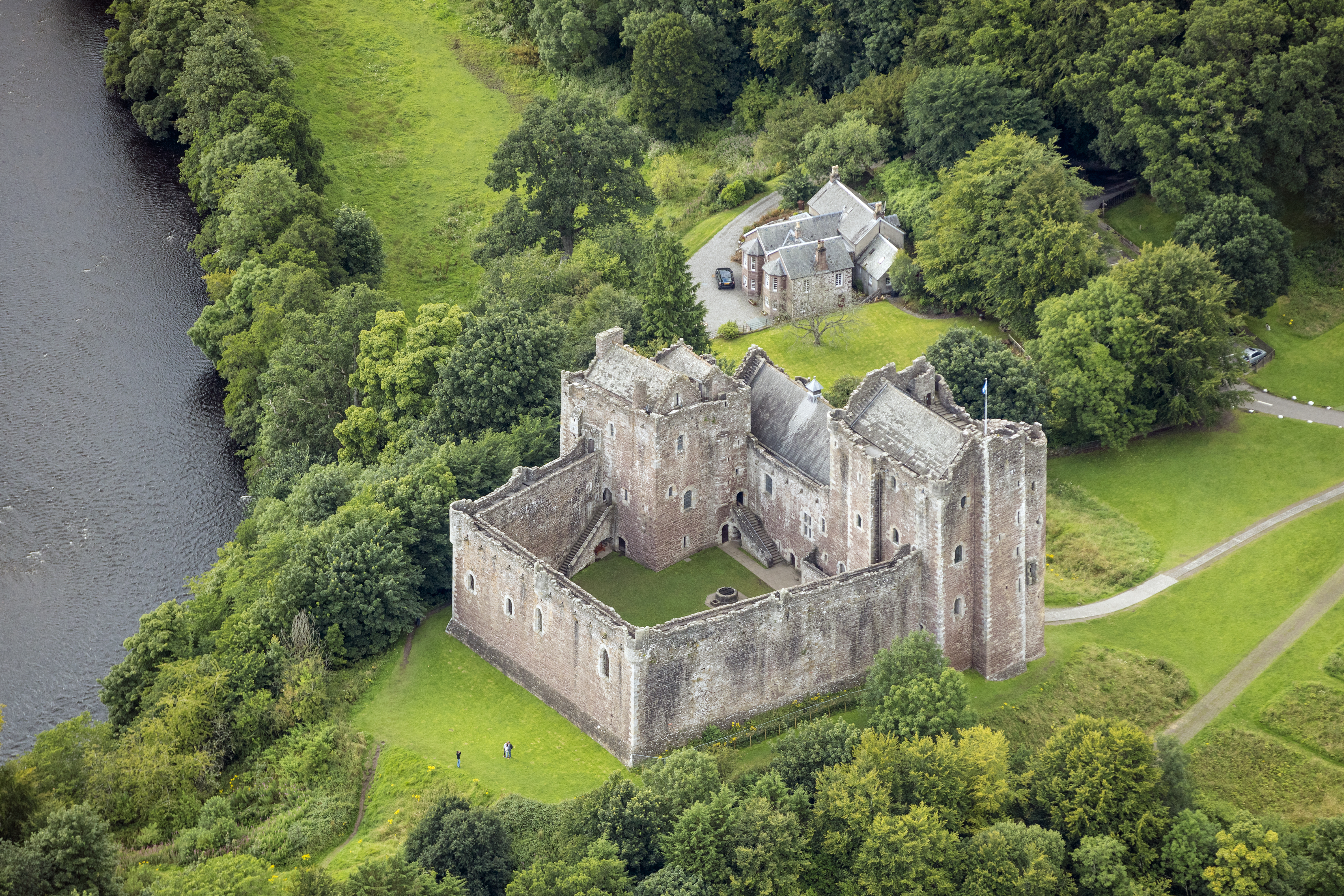
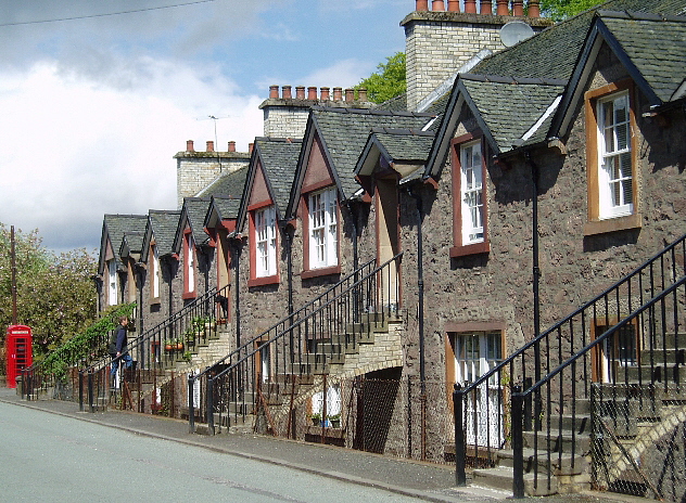
Images are sourced within 2km of 56.233/-4.105 or Grid Reference NN6906. Thanks to Geograph Open Source API. All images are credited.
The Camp Stone is located at Grid Ref: NN6906 (Lat: 56.233, Lng: -4.105)
What 3 Words
///remember.begun.importing. Near Doune, Stirling
Nearby Locations
Related Wikis

Doune Hillclimb
Doune Hillclimb, Carse of Cambus, near Doune in the district of Stirling, Scotland, is the home of the only round of the British Hill Climb Championship...
Lanrick Castle
Lanrick Castle was a late 18th-century country house near Doune in central Scotland. It was demolished in 2002 despite being protected as a category B...
Kilmadock
Kilmadock parish (Scottish Gaelic Cille Mo Dog), named for Saint Cadoc, containing the settlements of Doune, Deanston, Buchany, Argaty, Hill of Row, Drumvaich...

Cambusmore (Stirling)
Cambusmore is a country house in Stirling, Scotland, located 1 mile (1.6 km) southeast of the town of Callander. Situated on a tributary on the northern...
Uamh Mhòr
Uamh Mhòr (older spelling Uaighmor, also anglicised Uam Var) is a summit in Kilmadock parish in Stirling council area, Scotland, north of the River Teith...
Deanston
Deanston (Scottish Gaelic: Baile an Deadhain) is a village in the Stirling council area, Scotland, on the south bank of the River Teith east of Doune,...
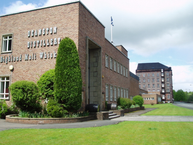
Deanston distillery
Deanston distillery is a Single Malt Scotch whisky distillery located on the banks of the River Teith, eight miles from the historic town of Stirling,...

Argaty
Argaty is a farm estate located just over a mile northeast of Doune, Stirling, Scotland. The present Argaty House dates from the 19th century with baronial...
Have you been to The Camp Stone?
Leave your review of The Camp Stone below (or comments, questions and feedback).