Barnsfold Copse

Wood, Forest in Sussex Horsham

England

Barnsfold Copse

Wey and Arun Canal Brewhurst Bridge is visible in the distance.
Wey and Arun Canal Credit: Simon Carey

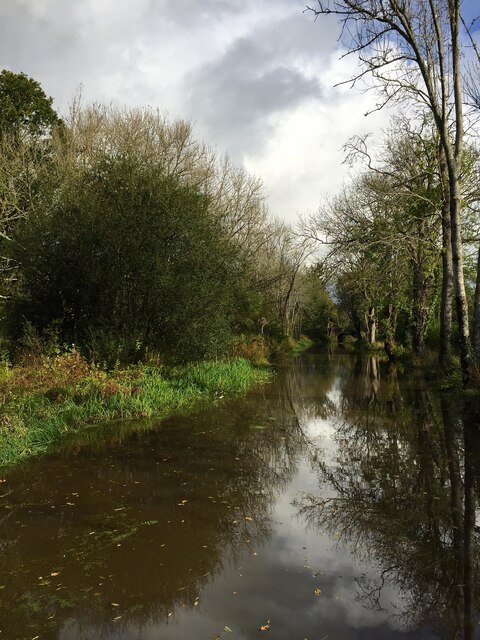
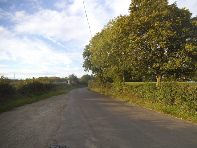
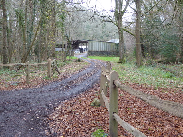
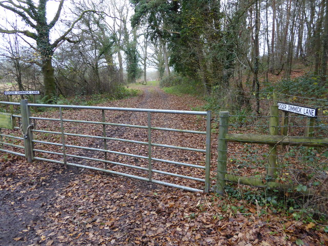
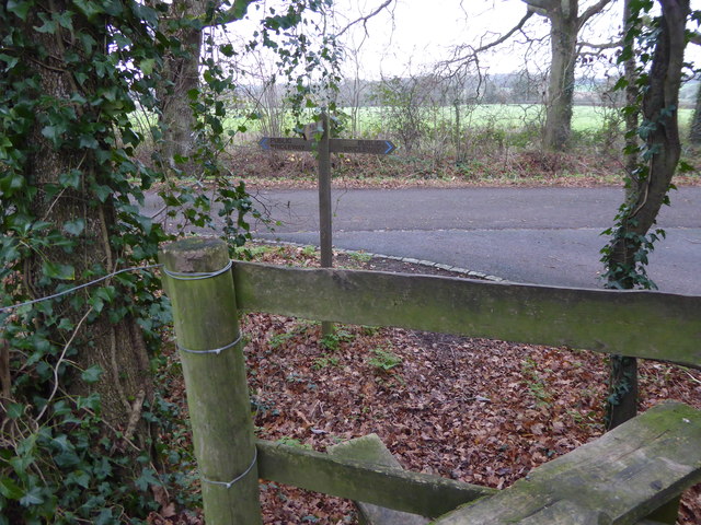
Barnsfold Copse is a picturesque woodland located in the county of Sussex, England. Covering an area of approximately 50 acres, it is a well-preserved example of a deciduous forest, with a diverse range of tree species that include oak, beech, ash, and birch. The copse is situated on gently undulating terrain, which adds to its natural beauty and provides visitors with pleasant walking trails.

One of the most notable features of Barnsfold Copse is its rich biodiversity. The woodland is home to a variety of wildlife, including deer, badgers, foxes, and numerous bird species. It also supports a wide range of plant life, with a carpet of bluebells in the spring and a vibrant display of autumn colors.

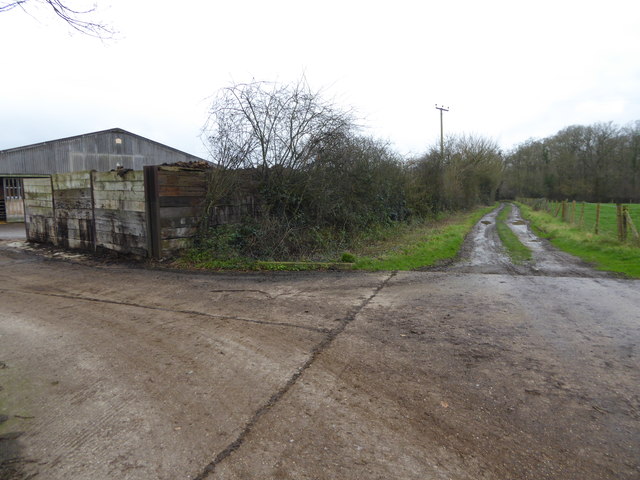
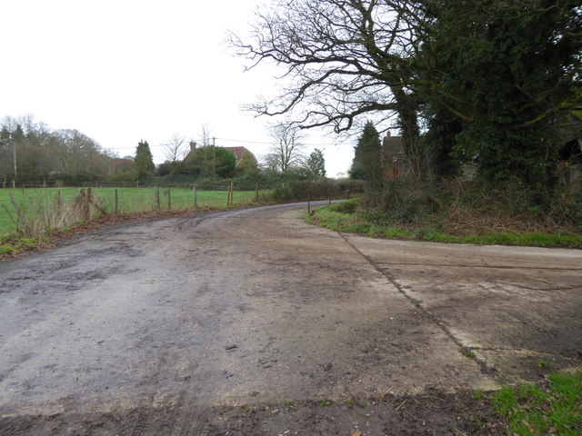
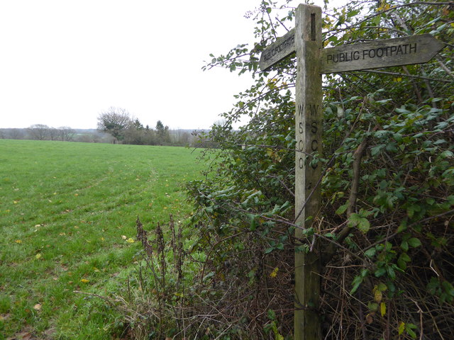
The copse has become a popular destination for nature enthusiasts and walkers, who can enjoy the peaceful surroundings and take advantage of the well-maintained footpaths that wind through the forest. These paths offer different routes of varying lengths, allowing visitors to explore the copse at their own pace.

In addition to its natural beauty, Barnsfold Copse has historical significance. It is believed to have been part of an ancient woodland that has been present in the area for hundreds of years. The copse has remained relatively untouched over time, providing a glimpse into the past and a sense of connection to the natural heritage of Sussex.

Overall, Barnsfold Copse is a charming woodland retreat, offering visitors a tranquil escape from the hustle and bustle of everyday life. Its diverse flora and fauna, coupled with its historical significance, make it a must-visit destination for nature lovers and those seeking to reconnect with the natural world.

If you have any feedback on the listing, please let us know in the comments section below.

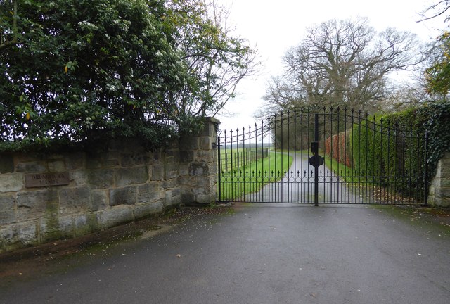
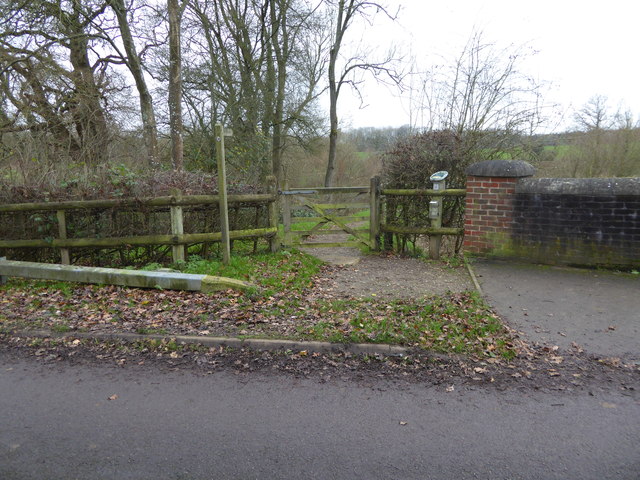
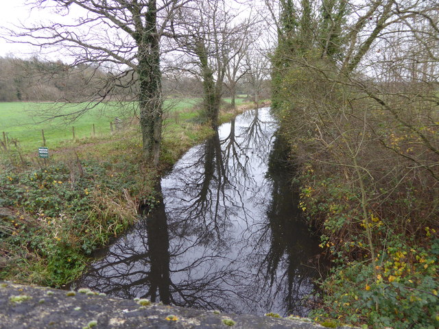
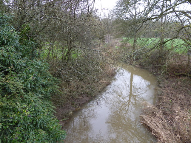
Barnsfold Copse Images

Images are sourced within 2km of 51.077914/-0.48632443 or Grid Reference TQ0632. Thanks to Geograph Open Source API. All images are credited.

Wey and Arun Canal Brewhurst Bridge is visible in the distance.
Wey and Arun Canal
Brewhurst Bridge is visible in the distance.
A bizarre canal lock, 2007 A possibly unique arrangement where the lower gates tower above the upper gates. This results from rebuilding to match an upper pound dug out to a lower level to pass under a new B2133 bridge. There is still a small rise. Lock 5, Brewhurst, on the Wey and Arun Junction Canal.
A bizarre canal lock, 2007
A possibly unique arrangement where the lower gates tower above the upper gates. This results from rebuilding to match an upper pound dug out to a lower level to pass under a new B2133 bridge. There is still a small rise. Lock 5, Brewhurst, on the Wey and Arun Junction Canal.
Baldwin's Knob Lock, 2007 On the restored part of the Wey and Arun Canal.
Baldwin's Knob Lock, 2007
On the restored part of the Wey and Arun Canal.
Lynwick Road, Bucks Green Looking towards Guildford Road
Lynwick Road, Bucks Green
Looking towards Guildford Road
Lynwick Road, Bucks Green
Barn by Drungewick Lane
House on Drungewick Lane
Dwelling at Bumble Farm
Gateway to Drungewick Manor See also <a title="https://www.geograph.org.uk/photo/1831336" href="https://www.geograph.org.uk/photo/1831336">Link</a> from the days of milk bottle deliveries.
Gateway to Drungewick Manor
See also Link from the days of milk bottle deliveries.
Gate to bridleway by the Wey-Arun Canal For another view see <a title="https://www.geograph.org.uk/photo/1441978" href="https://www.geograph.org.uk/photo/1441978">Link</a>.
Gate to bridleway by the Wey-Arun Canal
For another view see Link.
Wey-Arun Canal seen from Drungewick Lane
The River Lox seen from Drungewick Lane For a springtime picture see <a title="https://www.geograph.org.uk/photo/2409298" href="https://www.geograph.org.uk/photo/2409298">Link</a>.  The Arun is taken over the Lox by aqueduct behind the camera.
The River Lox seen from Drungewick Lane
For a springtime picture see Link. The Arun is taken over the Lox by aqueduct behind the camera.
The junction of Roger Dimmick and Drungewick Lanes Roger Dimmick Lane was named in memory of the benefactor who left a legacy of £25,000 to the Wey Arun Canal Trust - see <span class="nowrap"><a title="http://www.weyandarun.co.uk/csid032.htm" rel="nofollow ugc noopener" href="http://www.weyandarun.co.uk/csid032.htm">Link</a><img style="margin-left:2px;" alt="External link" title="External link - shift click to open in new window" src="https://s1.geograph.org.uk/img/external.png" width="10" height="10"/></span>.
The junction of Roger Dimmick and Drungewick Lanes
Roger Dimmick Lane was named in memory of the benefactor who left a legacy of £25,000 to the Wey Arun Canal Trust - see LinkExternal link.
Footpath passes yard at Drungewick Hill Farm
Footpath goes towards Drungewick Lane at Drungewick Hill Farm
Footpath crosses field east of Drungewick Lane See also <a title="https://www.geograph.org.uk/photo/2411686" href="https://www.geograph.org.uk/photo/2411686">Link</a>.
Footpath crosses field east of Drungewick Lane
See also Link.
Footpath reaches bridleway north of Newhouse Farm See also <a title="https://www.geograph.org.uk/photo/2412454" href="https://www.geograph.org.uk/photo/2412454">Link</a>.
Footpath reaches bridleway north of Newhouse Farm
See also Link.
Bridleway passes Newhouse Farm See also <a title="https://www.geograph.org.uk/photo/2412468" href="https://www.geograph.org.uk/photo/2412468">Link</a>.
Bridleway passes Newhouse Farm
See also Link.
Show me another place!

Barnsfold Copse is located at Grid Ref: TQ0632 (Lat: 51.077914, Lng: -0.48632443)

Administrative County: West Sussex

District: Horsham

Police Authority: Sussex

What 3 Words

///songbook.downsize.ears. Near Rudgwick, West Sussex

Nearby Locations

Barnsfold Copse

Related Wikis

Tisman's Common

Tisman's Common is a hamlet in the Horsham District of West Sussex, England. It stands in the parish of Rudgwick, on the Rudgwick to Loxwood road, 6.4...

Rikkyo School in England

Rikkyo School in England (立教英国学院, Rikkyō Eikoku Gakuin) is a Japanese boarding primary and secondary school in Rudgwick, Horsham District, West Sussex...

Loxwood

Loxwood is a small village and civil parish with several outlying settlements, in the Chichester district of West Sussex, England, within the Low Weald...

Rudgwick railway station

Rudgwick railway station was on the Cranleigh Line. It served the village of Rudgwick in West Sussex until June, 1965. == History == Rudgwick station opened...

Loxwood F.C.

Loxwood Football Club is a football club based in Loxwood, West Sussex, England. Nicknamed "The Magpies" and affiliated to the Surrey County FA, they are...

Alfold

Alfold is a village and civil parish in Surrey, England on the West Sussex border. Alfold is a dispersed or polyfocal village in the Green Belt, which...

Rudgwick

Rudgwick is a village and civil parish in the Horsham District of West Sussex, England. The village is 6 miles (10 km) west from Horsham on the north...

Baynards railway station

Baynards was a railway station on the Cranleigh Line, between Guildford, Surrey, and Horsham, West Sussex, England. The station opened with the line on...

Nearby Amenities

Located within 500m of 51.077914,-0.48632443
The data included in this document is from www.openstreetmap.org. The data is made available under ODbL.

Have you been to Barnsfold Copse?

Leave your review of Barnsfold Copse below (or comments, questions and feedback).