Horse Close Spinney
Wood, Forest in Northamptonshire
England
Horse Close Spinney

Horse Close Spinney is a picturesque woodland located in the heart of Northamptonshire, England. Spanning an area of approximately 20 acres, this enchanting spinney is characterized by its dense collection of trees, creating a serene and secluded environment perfect for nature enthusiasts and walkers alike.
The woodland is primarily composed of native deciduous species such as oak, ash, and birch, which provide a rich habitat for a wide range of flora and fauna. The forest floor is adorned with a beautiful carpet of wildflowers during the spring and summer months, including bluebells, primroses, and wood anemones, creating a vibrant and colorful display.
Horse Close Spinney is also home to a diverse array of wildlife, including various bird species such as woodpeckers, owls, and thrushes. Mammals such as foxes, badgers, and rabbits can also be spotted within the spinney, adding to the sense of natural beauty and tranquility.
The woodland is crisscrossed by a network of well-maintained footpaths, allowing visitors to explore its hidden corners and discover its hidden treasures. These paths wind through the trees, creating a sense of adventure and discovery as visitors navigate through the woods.
Horse Close Spinney is managed by the local Northamptonshire Wildlife Trust, which works tirelessly to preserve and protect this natural gem. The spinney is open to the public throughout the year, providing a peaceful and calming escape from the hustle and bustle of everyday life. Whether you are a nature lover, a keen walker, or simply seeking a moment of tranquility, Horse Close Spinney is the perfect destination to immerse yourself in the beauty of Northamptonshire's woodlands.
If you have any feedback on the listing, please let us know in the comments section below.
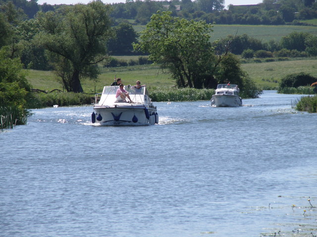
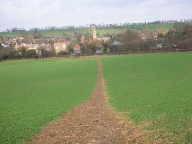
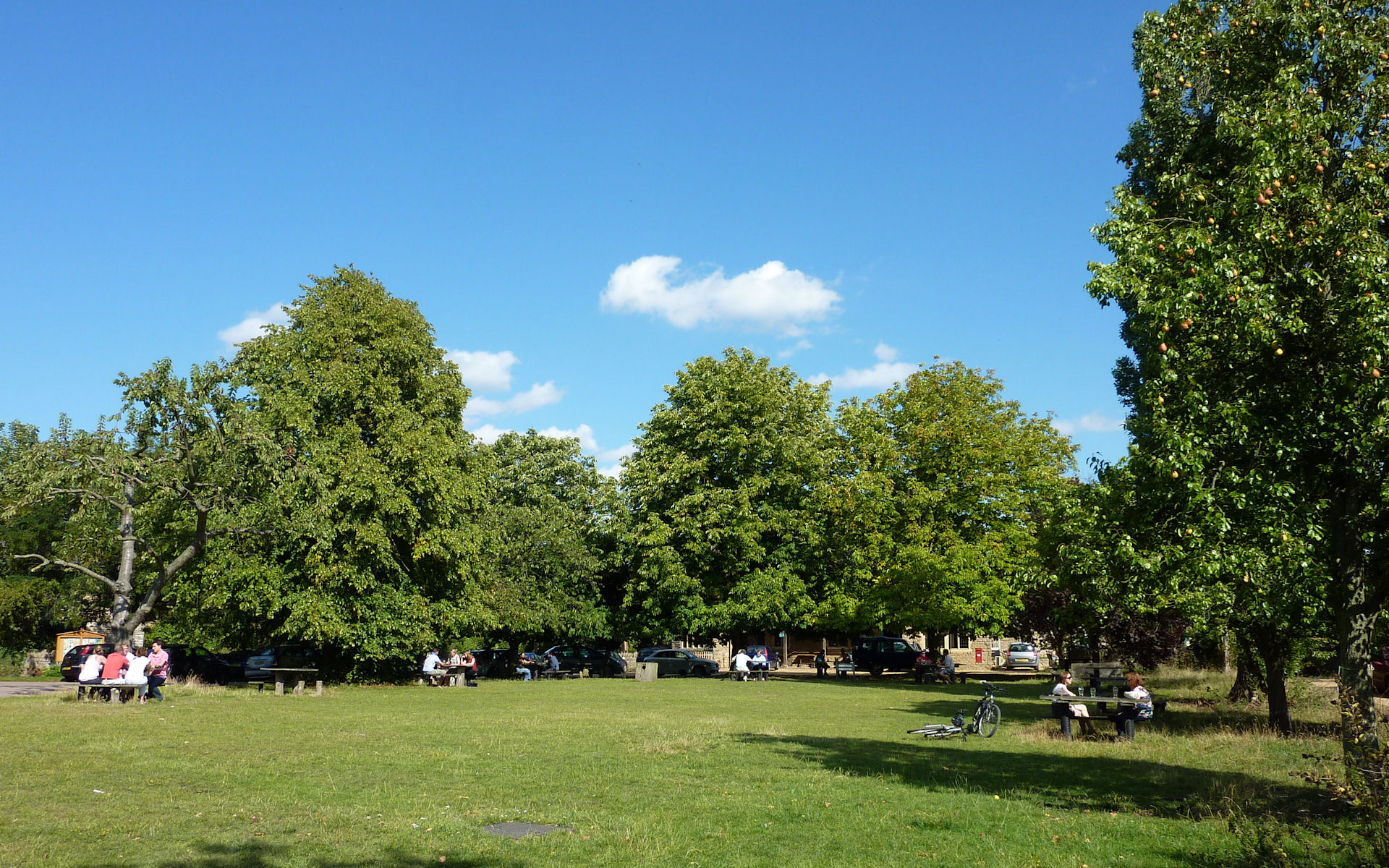
Horse Close Spinney Images
Images are sourced within 2km of 52.462307/-0.43929223 or Grid Reference TL0686. Thanks to Geograph Open Source API. All images are credited.


Horse Close Spinney is located at Grid Ref: TL0686 (Lat: 52.462307, Lng: -0.43929223)
Unitary Authority: North Northamptonshire
Police Authority: Northamptonshire
What 3 Words
///remaining.fizzled.clauses. Near Oundle, Northamptonshire
Nearby Locations
Related Wikis
Armston
Armston is a hamlet and former civil parish, now in the parish of Polebrook, in the North Northamptonshire district, in the ceremonial county of Northamptonshire...
Polebrook
Polebrook is a village in Northamptonshire, England. The population (including Armston) at the 2011 census was 478. == History == There is evidence that...

Barnwell Manor
Barnwell Manor is a Grade II listed country estate near the village of Barnwell, about 2.5 miles (4.0 km) south of Oundle, in Northamptonshire, England...

Barnwell Castle
Barnwell Castle is a ruined castle, south of the town of Oundle, and north of the village of Barnwell, Northamptonshire (grid reference TL047853). It...

Barnwell railway station
Barnwell railway station is a former railway station in Barnwell, Northamptonshire on the former Northampton and Peterborough Railway line which connected...

Barnwell, Northamptonshire
Barnwell (formerly Barnwell All Saints and Barnwell St Andrew) is a village in North Northamptonshire in England, 2 miles (3.2 km) south of the town of...
Prince William School
Prince William School is a secondary school and sixth form located in Oundle, Northamptonshire. The school was built in 1971 and opened by Prince William...
Ashton, North Northamptonshire
Ashton is a village and civil parish about ¾ mile east of Oundle in the east of the English county of Northamptonshire forming part of the unitary authority...
Nearby Amenities
Located within 500m of 52.462307,-0.43929223Have you been to Horse Close Spinney?
Leave your review of Horse Close Spinney below (or comments, questions and feedback).