Bramley Field
Wood, Forest in Sussex Horsham
England
Bramley Field
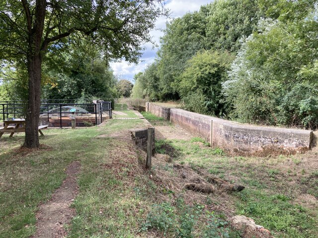
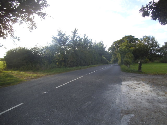
Bramley Field is a picturesque woodland located in the county of Sussex, England. Nestled within the scenic countryside, it is renowned for its natural beauty and tranquil atmosphere. The field spans over a vast area, providing ample space for exploration and recreation.
The woodland is primarily composed of a diverse range of trees, including oak, beech, and pine, creating a rich and vibrant ecosystem. The dense canopy of the forest provides shade and shelter to a multitude of flora and fauna, making it a haven for wildlife enthusiasts and nature lovers.
Visitors to Bramley Field can enjoy a variety of activities, such as hiking, nature walks, and picnicking. The well-maintained trails meander through the forest, allowing visitors to immerse themselves in the serene surroundings. The area is also popular among birdwatchers, as a wide array of bird species can be spotted throughout the year.
In addition to its natural beauty, Bramley Field boasts historical significance. It is believed that the woodland has been in existence for centuries, with traces of ancient settlements and archaeological finds discovered in the area. This adds an intriguing element to the overall experience, as visitors can delve into the rich history and heritage of the region.
Overall, Bramley Field in Sussex is a captivating woodland that offers a peaceful retreat from the bustling city life. With its stunning scenery, diverse wildlife, and historical significance, it is a must-visit destination for those seeking a closer connection with nature and a glimpse into the past.
If you have any feedback on the listing, please let us know in the comments section below.
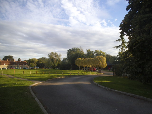
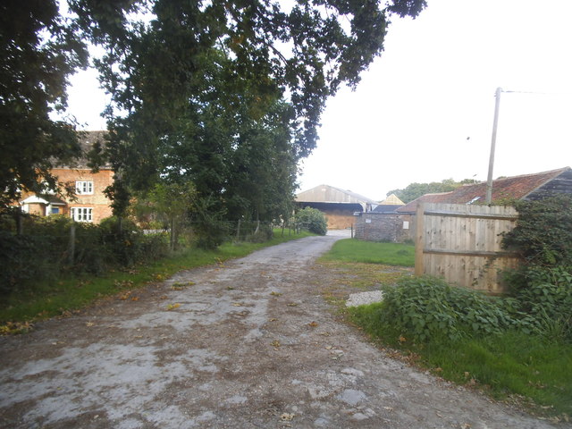
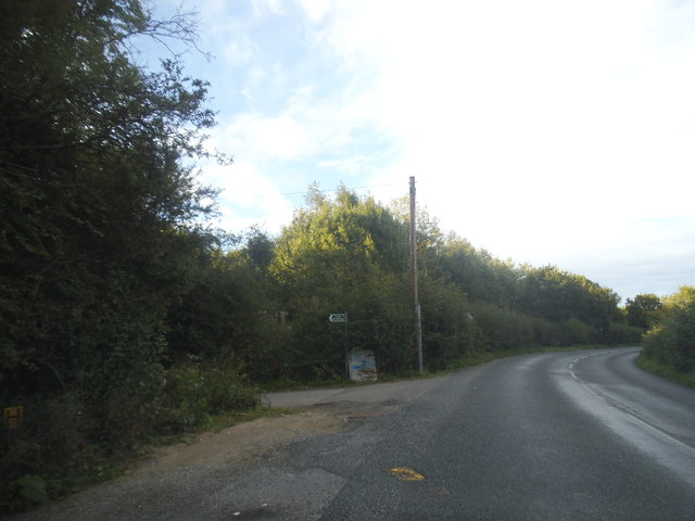
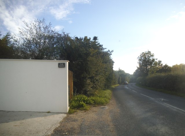
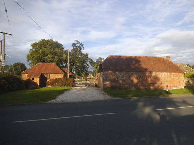
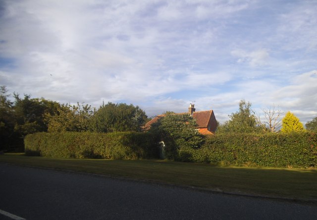
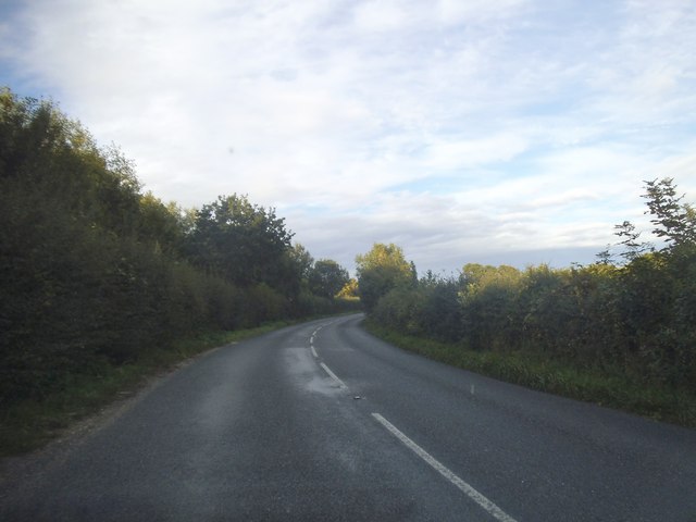
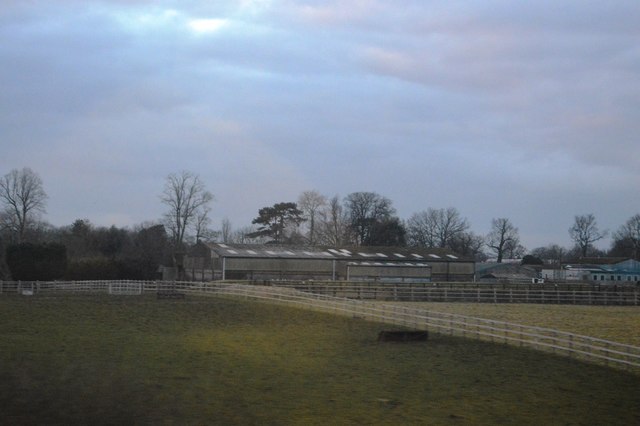
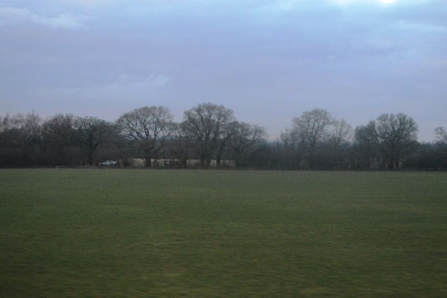
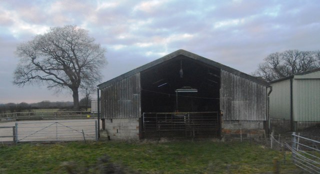
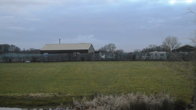
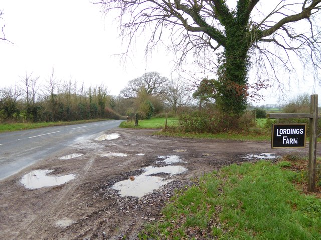
Bramley Field Images
Images are sourced within 2km of 50.997367/-0.48920315 or Grid Reference TQ0623. Thanks to Geograph Open Source API. All images are credited.

Bramley Field is located at Grid Ref: TQ0623 (Lat: 50.997367, Lng: -0.48920315)
Administrative County: West Sussex
District: Horsham
Police Authority: Sussex
What 3 Words
///heartless.endlessly.retract. Near Billingshurst, West Sussex
Nearby Locations
Related Wikis

Adversane
Adversane is a large hamlet in the Horsham District of West Sussex, England, located 1.5 miles south of Billingshurst (where, at the 2011 Census, the population...

River Kird
The River Kird is a river located in the Chichester District of West Sussex, England that is a tributary to the River Arun. It is located in South Downs...

North Heath
North Heath is a hamlet in the Horsham District of West Sussex, England. It lies just off the A29 road 1.9 miles (3 km) north of Pulborough. The Brinsbury...

Upper Arun
Upper Arun is a 17.6-hectare (43-acre) biological Site of Special Scientific Interest between Billingshurst and Pulborough in West Sussex.This 13-kilometre...
Have you been to Bramley Field?
Leave your review of Bramley Field below (or comments, questions and feedback).