Dell
Valley in Middlesex
England
Dell

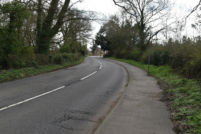
Dell, Middlesex (Valley) is a small village located in the county of Middlesex, England. Situated in the picturesque Chiltern Hills, it is a part of the South East region of the country. The village is surrounded by stunning natural beauty, with rolling hills, dense woodlands, and meandering streams.
Dell, Middlesex is known for its tranquil and idyllic setting, making it a popular destination for nature lovers and outdoor enthusiasts. The village offers numerous walking trails and cycling routes, allowing visitors to explore the unspoiled countryside and enjoy the peaceful surroundings. The nearby River Thames also provides opportunities for boating and fishing.
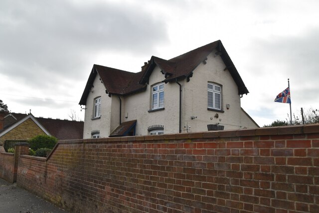
Despite its small size, Dell, Middlesex has a close-knit community characterized by friendly and welcoming residents. The village features a handful of local amenities, including a small convenience store, a village hall, and a cozy pub, where locals and visitors can socialize and relax.
Historically, Dell, Middlesex has a rich heritage. The village dates back to medieval times, and remnants of its past can be seen in the form of historical buildings and landmarks. The local church, St. Mary's, is a notable architectural gem, with its stunning stained glass windows and intricate stonework.
Overall, Dell, Middlesex offers a peaceful and picturesque retreat from the hustle and bustle of nearby urban areas. Its natural beauty, friendly community, and historical charm make it an appealing destination for those seeking a tranquil countryside experience.
If you have any feedback on the listing, please let us know in the comments section below.
Dell Images
Images are sourced within 2km of 51.599777/-0.4612984 or Grid Reference TQ0690. Thanks to Geograph Open Source API. All images are credited.


Dell is located at Grid Ref: TQ0690 (Lat: 51.599777, Lng: -0.4612984)
Unitary Authority: Hillingdon
Police Authority: Metropolitan
What 3 Words
///softly.inch.chats. Near Harefield, London
Nearby Locations
Related Wikis
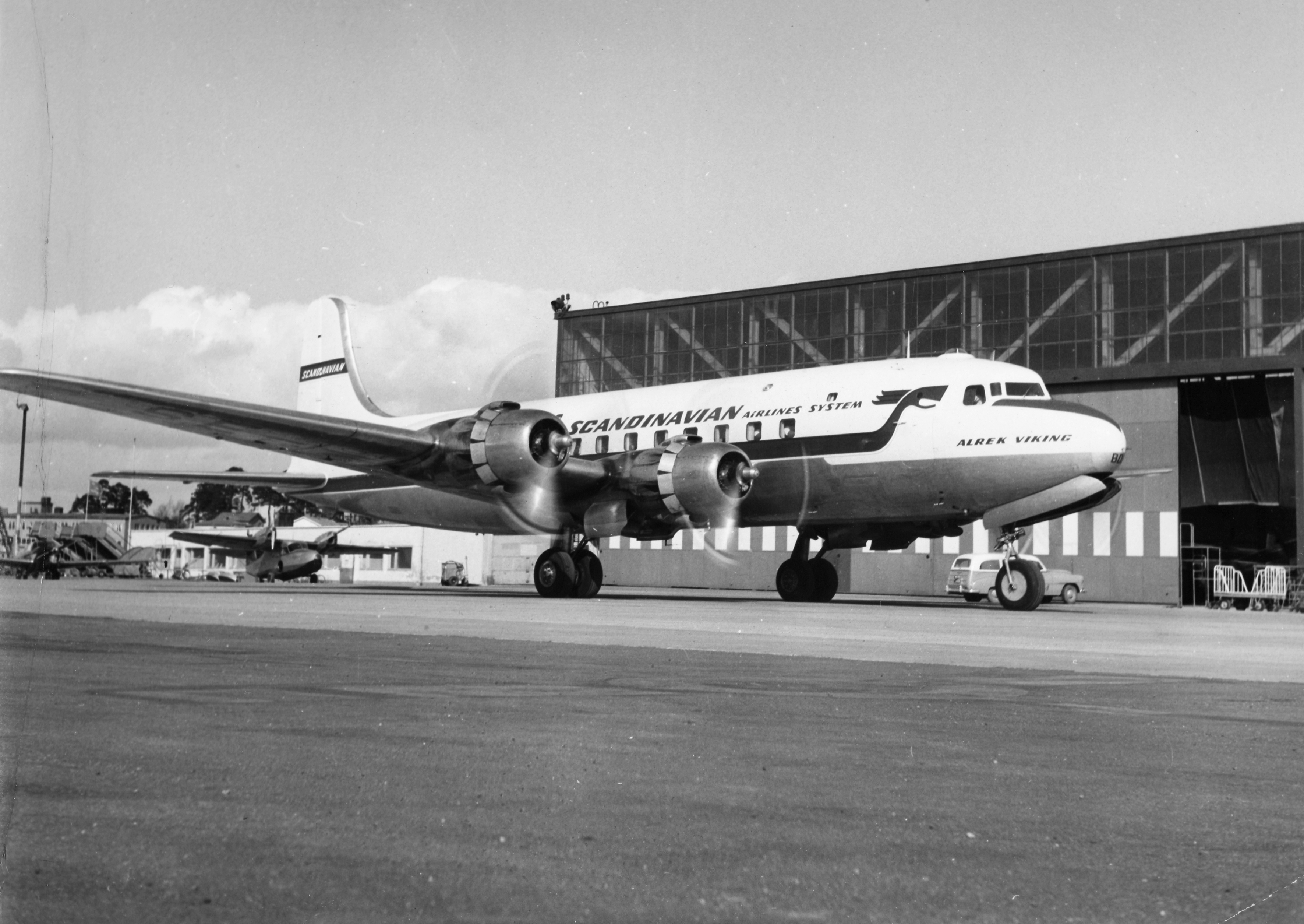
1948 Northwood mid-air collision
The 1948 Northwood mid-air collision took place on 4 July at 15:03 when a Douglas DC-6 of Scandinavian Airlines System (SAS) and an Avro York C.1 of the...

Ruislip, Northwood and Pinner (UK Parliament constituency)
Ruislip, Northwood and Pinner is a constituency in Greater London represented in the House of Commons of the UK Parliament since 2019 by David Simmonds...

Harefield United F.C.
Harefield United Football Club are an English football club based in Harefield in the London Borough of Hillingdon. The club is the oldest in Middlesex...
Harefield Academy
Harefield School is a secondary school in Uxbridge, London. Located on the site of the former community school, John Penrose School, which closed on 31...
Nearby Amenities
Located within 500m of 51.599777,-0.4612984Have you been to Dell?
Leave your review of Dell below (or comments, questions and feedback).